Main road spine
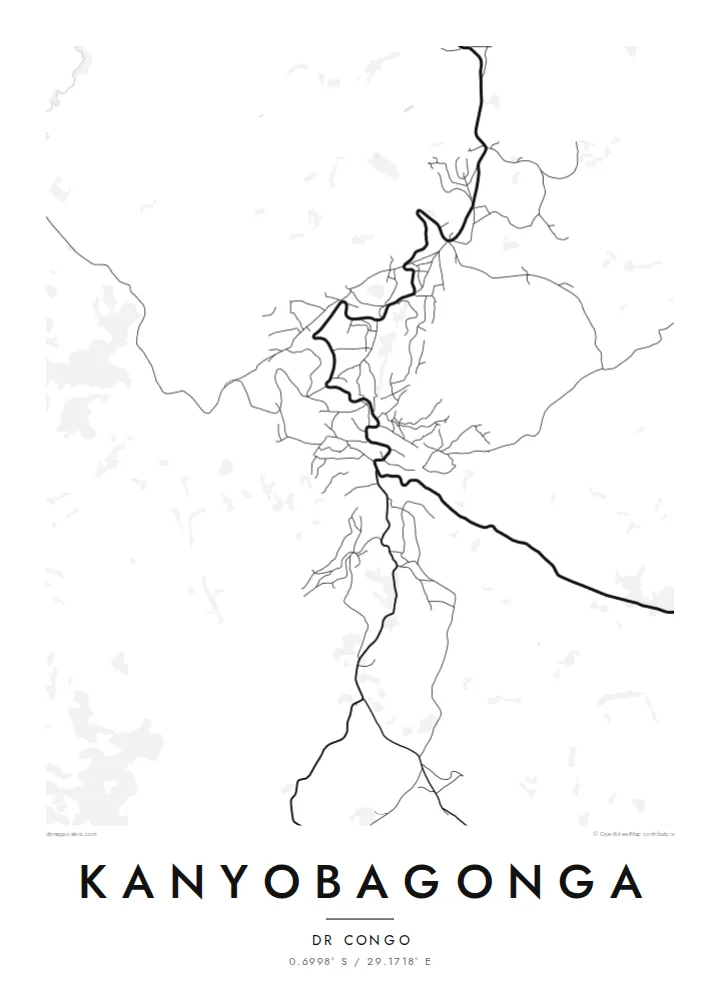
The national road running between Goma and Butembo forms the backbone of the town, a single winding line along which most of the streets and buildings are arranged.
मिनिमलिस्ट नक्सा पोस्टर · कङ्गो - किन्शासा
0.6998° S / 29.1718° E
A highland town strung along the main road through North Kivu, its streets folded into the ridges and valleys around it.

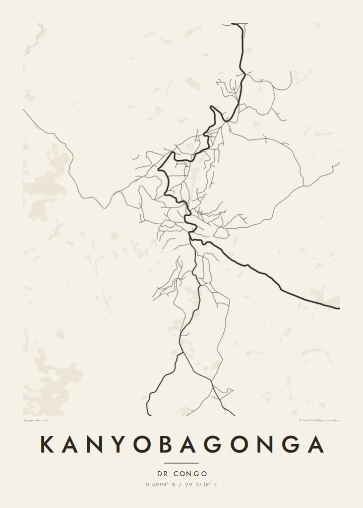
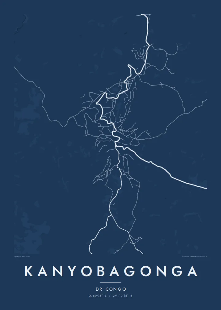

एउटै शहर, पाँच मुड
पर्खालमा कस्तो देखिन्छ हेर्न कुनै स्टाइल छान्नुहोस्। हरेक स्टाइलको मूल्य उस्तै हुन्छ — प्रिन्ट, फ्रेम वा HD फाइलको रूपमा।
 वास्तविक पिक्सेल · 24 × 36″ प्रिन्ट फाइल
प्रिन्टमा प्रस्ट
यो वास्तविक प्रिन्ट फाइलको 100% क्रप हो। हरेक पोस्टर — प्रिन्ट, फ्रेम वा डाउनलोड — हाम्रो सर्भरमा 300 DPI मा, 7,200 × 10,800 पिक्सेलसम्म रेन्डर हुन्छ, त्यसैले सबैभन्दा साना गल्लीहरू पनि 24 × 36″ प्रिन्टमा स्पष्ट देखिन्छन्।
भित्तामा


नक्सा
Kanyobagonga lies in the highlands of North Kivu in the eastern Democratic Republic of the Congo, on the main road that links Goma in the south with Butembo and Beni to the north. The town has grown along this route, and from above it reads as a linear settlement that follows the road as it bends across hilly terrain, with side streets branching toward the slopes.
The landscape around the town is one of steep hills, cultivated fields and valleys, typical of the Kivu highlands, where small farm plots climb the hillsides. On the map this terrain shows through the curving roads and irregular blocks, a pattern shaped by contour lines rather than by any planned grid.
A Kanyobagonga map poster offers a restrained record of a town that many know mainly as a stop on the long journey through North Kivu. Rendered in fine lines, the road, the side streets and the surrounding slopes become a quiet image of one particular place in the hills of eastern Congo.
The national road running between Goma and Butembo forms the backbone of the town, a single winding line along which most of the streets and buildings are arranged.
Side roads leave the main route and climb or descend the surrounding slopes, their curves following the terrain and giving the map an organic, contour-like texture.
Beyond the built-up area, the hills are divided into small cultivated plots, a finely broken pattern that frames the town on the poster and emphasises the relief.
आफ्नै बनाउनुहोस्
मिति, नाम वा आफ्नै एक लाइन थप्नुहोस्, शैली, साइज वा दिशा बदल्नुहोस्।
नि:शुल्क प्रिभ्यू कम-रिजोलुसन र वाटरमार्कसहित हुन्छ। प्रिन्ट र HD फाइलहरू 300 DPI मा, 7,200 × 10,800 px सम्म, वाटरमार्क बिना रेन्डर गरिन्छन्।
किन Kanyobagonga
For people from Kanyobagonga, a map is a way to hold on to the shape of home: the road through town, the hills, the streets where family lives. It makes a meaningful gift for relatives far away.
Write your own title and subtitle, add a date or a family name, and choose one of five styles: Classic black & white, Noir, Paper, Blueprint or Sand. A free 900 px preview is available, and HD files for printing cost $9.
Kanyobagonga पोस्टर अर्डर गर्नुहोस्| प्रिन्ट साइज | रिजोल्युसन | फाइलहरू |
|---|---|---|
| 30 × 40 cm (11.8 × 15.7″) | 3,543 × 4,724 px | PNG · PDF |
| 29.7 × 42 cm (A3, 11.7 × 16.5″) | 3,508 × 4,961 px | PNG · PDF |
| 42 × 59.4 cm (A2, 16.5 × 23.4″) | 4,961 × 7,016 px | PNG · PDF |
| 45.7 × 61 cm (18 × 24″) | 5,400 × 7,200 px | PNG · PDF |
| 50 × 70 cm (19.7 × 27.6″) | 5,906 × 8,268 px | PNG · PDF |
| 61 × 91.4 cm (24 × 36″) | 7,200 × 10,800 px | PNG · PDF |
तुलनाका लागि, निःशुल्क प्रिभ्यु 900 px चौडा, वाटरमार्कसहित र स्क्रिनका लागि मात्र हो। HD फाइलहरूमा हरेक दिशामा 8× सम्म बढी रिजोल्युसन हुन्छ र पूरा पोस्टर साइजमा सफा छापिन्छ।
पेजको माथिबाट कुनै स्टाइल छान्नुहोस्, त्यसपछि प्रिन्टेड पोस्टर — साइज र चाहेमा फ्रेम — वा डिजिटल HD फाइलहरू छान्नुहोस्। चेकआउट एक चरणमा हुन्छ, र पेमेन्ट भएपश्चात तपाईंको अर्डर पेज तुरुन्तै अपडेट हुन्छ।
यो प्रिमियम 200 gsm म्याट पेपरमा, 30 × 40 cm देखि 24 × 36″ सम्मका छ साइजमध्ये एकमा प्रिन्ट गरिन्छ। प्रिन्टेड पोस्टरहरू {printFrom} बाट सुरु हुन्छन्, ढुवानी सहित।
हो। कालो, सेतो, प्राकृतिक ओक वा गाढा काठको ठोस काठको फ्रेम छान्नुहोस्। यो फुट्दैन भन्ने गिलाससहित आउँछ र झुन्ड्याउनका लागि तयार हुन्छ। फ्रेम गरिएका पोस्टरहरू {framedFrom} बाट सुरु हुन्छन्, ढुवानी सहित।
ढुवानी विश्वभरि नि:शुल्क छ। हरेक पोस्टर 30+ देशहरूमा रहेका हाम्रा प्रिन्ट पार्टनरहरूमध्ये सबैभन्दा नजिकैको ठाउँबाट प्रिन्ट गरिन्छ र सामान्यतया 3–7 कार्य दिनभित्र आइपुग्छ। तपाईं My Orders अन्तर्गत स्थिति र ट्र्याकिंग हेर्न सक्नुहुन्छ।
डेलिवरी भएको 14 दिनभित्र हामीलाई फोटो पठाउनुहोस्, हामी नि:शुल्क पुनः प्रिन्ट गरिदिनेछौं वा रिफन्ड दिनेछौं।
हो। यो पेजको एडिटरमा, शीर्षक, उपशीर्षक र कोअर्डिनेट लाइनलाई तपाईंले चाहेजस्तै बदल्नुहोस्, अनि स्टाइल र साइज छान्नुहोस्। प्रिन्टेड, फ्रेम गरिएका र डिजिटल अर्डर सबैले तपाईंको डिजाइन नै प्रयोग गर्छन्।
$9 मा तपाईंले सबै छ साइजमा 300 DPI PNG र प्रिन्ट-रेडी PDF फाइलहरू पाउनुहुन्छ, वाटरमार्क बिना, जुनसुकै ठाउँमा प्रिन्ट गर्न मिल्ने। अझै पक्का हुनुभएको छैन? पहिले नि:शुल्क वाटरमार्क भएको प्रिभ्यू डाउनलोड गर्नुहोस्।
