The Maidan
The great open ground at the centre of the city forms the largest blank space on the map, bordered by Chowringhee on one side and Fort William on the other.
मिनिमलिस्ट नक्सा पोस्टर · भारत
22.5626° N / 88.3630° E
A city stretched along the east bank of the Hooghly, with a great open Maidan at its heart and bridges reaching across.
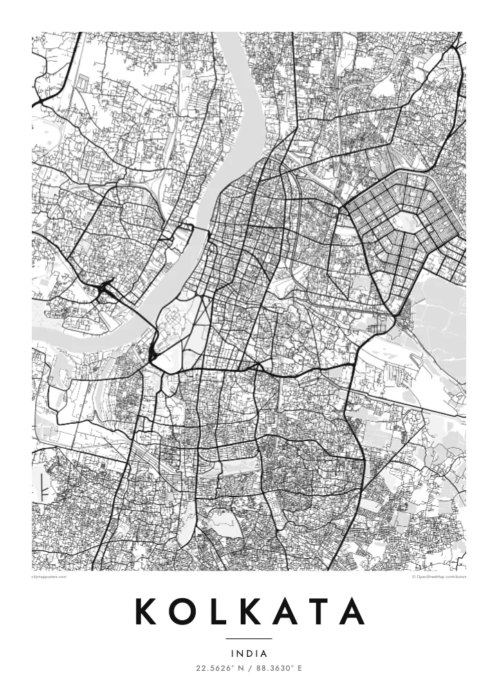

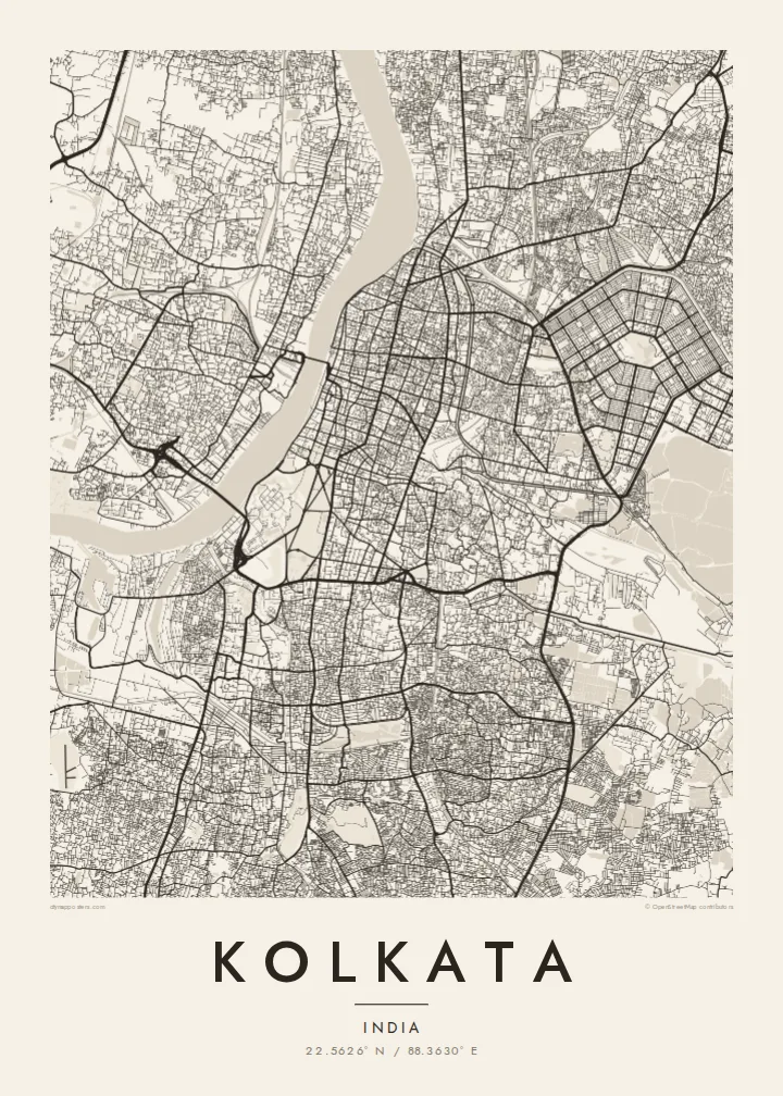


एउटै शहर, पाँच मुड
पर्खालमा कस्तो देखिन्छ हेर्न कुनै स्टाइल छान्नुहोस्। हरेक स्टाइलको मूल्य उस्तै हुन्छ — प्रिन्ट, फ्रेम वा HD फाइलको रूपमा।
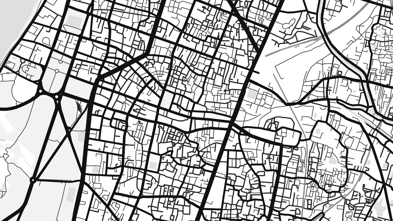 वास्तविक पिक्सेल · 24 × 36″ प्रिन्ट फाइल
प्रिन्टमा प्रस्ट
यो वास्तविक प्रिन्ट फाइलको 100% क्रप हो। हरेक पोस्टर — प्रिन्ट, फ्रेम वा डाउनलोड — हाम्रो सर्भरमा 300 DPI मा, 7,200 × 10,800 पिक्सेलसम्म रेन्डर हुन्छ, त्यसैले सबैभन्दा साना गल्लीहरू पनि 24 × 36″ प्रिन्टमा स्पष्ट देखिन्छन्।
भित्तामा


नक्सा
Kolkata grew along the eastern bank of the Hooghly River, and the map follows that orientation: the city is long from north to south and relatively narrow from east to west. The river curves along its western edge, with Howrah on the opposite bank. Streets in the older northern quarters are dense and irregular, while the southern districts become gradually more open.
At the centre lies the Maidan, a vast open ground that appears as a large empty space in the middle of the street pattern. The Victoria Memorial sits at its southern end and Fort William on its western side, close to the river. To the east, Salt Lake City, or Bidhannagar, was laid out as a planned grid of sectors.
Kolkata was the capital of British India until 1911 and remains a major centre of literature and film. Howrah Bridge, a large cantilever structure opened in 1943, and the later Vidyasagar Setu cross the Hooghly. A Kolkata map poster shows the river, the Maidan and the dense fabric of streets in a single, balanced frame.
The great open ground at the centre of the city forms the largest blank space on the map, bordered by Chowringhee on one side and Fort William on the other.
The cantilever bridge links Kolkata with Howrah across the Hooghly and is one of the city's most recognisable landmarks, a firm line drawn across the river.
The planned township of Bidhannagar, built on reclaimed wetland in the east, shows a regular pattern of sectors and blocks, very different from the older city.
आफ्नै बनाउनुहोस्
मिति, नाम वा आफ्नै एक लाइन थप्नुहोस्, शैली, साइज वा दिशा बदल्नुहोस्।
नि:शुल्क प्रिभ्यू कम-रिजोलुसन र वाटरमार्कसहित हुन्छ। प्रिन्ट र HD फाइलहरू 300 DPI मा, 7,200 × 10,800 px सम्म, वाटरमार्क बिना रेन्डर गरिन्छन्।
किन Kolkata
Kolkata is a city people carry with them, in its streets, its books and its long evenings by the river. A poster that shows the Hooghly curving past the Maidan and the old quarters is a way of keeping that familiarity on the wall.
The title, subtitle and coordinates can all be personalised, so the print can mark a family address, a college year or a wedding date. Choose Classic black & white, Noir, Paper, Blueprint or Sand, as a digital file or a printed poster with an optional frame.
Kolkata पोस्टर अर्डर गर्नुहोस्| प्रिन्ट साइज | रिजोल्युसन | फाइलहरू |
|---|---|---|
| 30 × 40 cm11.8 × 15.7″ | 3,543 × 4,724 px | PNG · PDF |
| 29.7 × 42 cm (A3)11.7 × 16.5″ | 3,508 × 4,961 px | PNG · PDF |
| 42 × 59.4 cm (A2)16.5 × 23.4″ | 4,961 × 7,016 px | PNG · PDF |
| 45.7 × 61 cm18 × 24″ | 5,400 × 7,200 px | PNG · PDF |
| 50 × 70 cm19.7 × 27.6″ | 5,906 × 8,268 px | PNG · PDF |
| 61 × 91.4 cm24 × 36″ | 7,200 × 10,800 px | PNG · PDF |
तुलनाका लागि, निःशुल्क प्रिभ्यु 900 px चौडा, वाटरमार्कसहित र स्क्रिनका लागि मात्र हो। HD फाइलहरूमा हरेक दिशामा 8× सम्म बढी रिजोल्युसन हुन्छ र पूरा पोस्टर साइजमा सफा छापिन्छ।
पेजको माथिबाट कुनै स्टाइल छान्नुहोस्, त्यसपछि प्रिन्टेड पोस्टर — साइज र चाहेमा फ्रेम — वा डिजिटल HD फाइलहरू छान्नुहोस्। चेकआउट एक चरणमा हुन्छ, र पेमेन्ट भएपश्चात तपाईंको अर्डर पेज तुरुन्तै अपडेट हुन्छ।
यो प्रिमियम 200 gsm म्याट पेपरमा, 30 × 40 cm देखि 24 × 36″ सम्मका छ साइजमध्ये एकमा प्रिन्ट गरिन्छ। प्रिन्टेड पोस्टरहरू $39 बाट सुरु हुन्छन्, ढुवानी सहित।
हो। कालो, सेतो, प्राकृतिक ओक वा गाढा काठको ठोस काठको फ्रेम छान्नुहोस्। यो फुट्दैन भन्ने गिलाससहित आउँछ र झुन्ड्याउनका लागि तयार हुन्छ। फ्रेम गरिएका पोस्टरहरू $99 बाट सुरु हुन्छन्, ढुवानी सहित।
६०+ देशमा ढुवानी निःशुल्क छ। प्रत्येक पोस्टर ३०+ देशमा रहेका हाम्रा प्रिन्ट साझेदारमध्ये सबैभन्दा नजिककाद्वारा छापिन्छ र सामान्यतया ३–७ कार्यदिनभित्र पुग्छ। तपाईं “मेरा अर्डरहरू” मा गएर स्थिति र ट्र्याकिङ हेर्न सक्नुहुन्छ। केही देशमा २–५ हप्ता लाग्छ, र हामीले अझै ढुवानी नगर्ने ठाउँमा भुक्तानी गर्नुअघि नै साइटले जानकारी दिन्छ।
डेलिवरी भएको 14 दिनभित्र हामीलाई फोटो पठाउनुहोस्, हामी नि:शुल्क पुनः प्रिन्ट गरिदिनेछौं वा रिफन्ड दिनेछौं।
हो। यो पेजको एडिटरमा, शीर्षक, उपशीर्षक र कोअर्डिनेट लाइनलाई तपाईंले चाहेजस्तै बदल्नुहोस्, अनि स्टाइल र साइज छान्नुहोस्। प्रिन्टेड, फ्रेम गरिएका र डिजिटल अर्डर सबैले तपाईंको डिजाइन नै प्रयोग गर्छन्।
$9 मा तपाईंले सबै छ साइजमा 300 DPI PNG र प्रिन्ट-रेडी PDF फाइलहरू पाउनुहुन्छ, वाटरमार्क बिना, जुनसुकै ठाउँमा प्रिन्ट गर्न मिल्ने। अझै पक्का हुनुभएको छैन? पहिले नि:शुल्क वाटरमार्क भएको प्रिभ्यू डाउनलोड गर्नुहोस्।
