Meeting grids
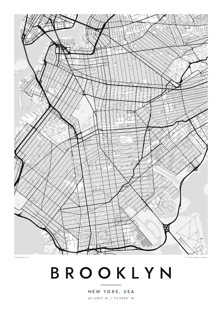
Brooklyn's streets form several grids that meet at different angles, following the plans of earlier towns. This makes the map more varied than Manhattan's.
සරල සිතියම් පෝස්ටරය · එක්සත් ජනපදය
40.6501° N / 73.9496° W
A borough of colliding street grids, a great park and long shorelines facing Manhattan and the Atlantic


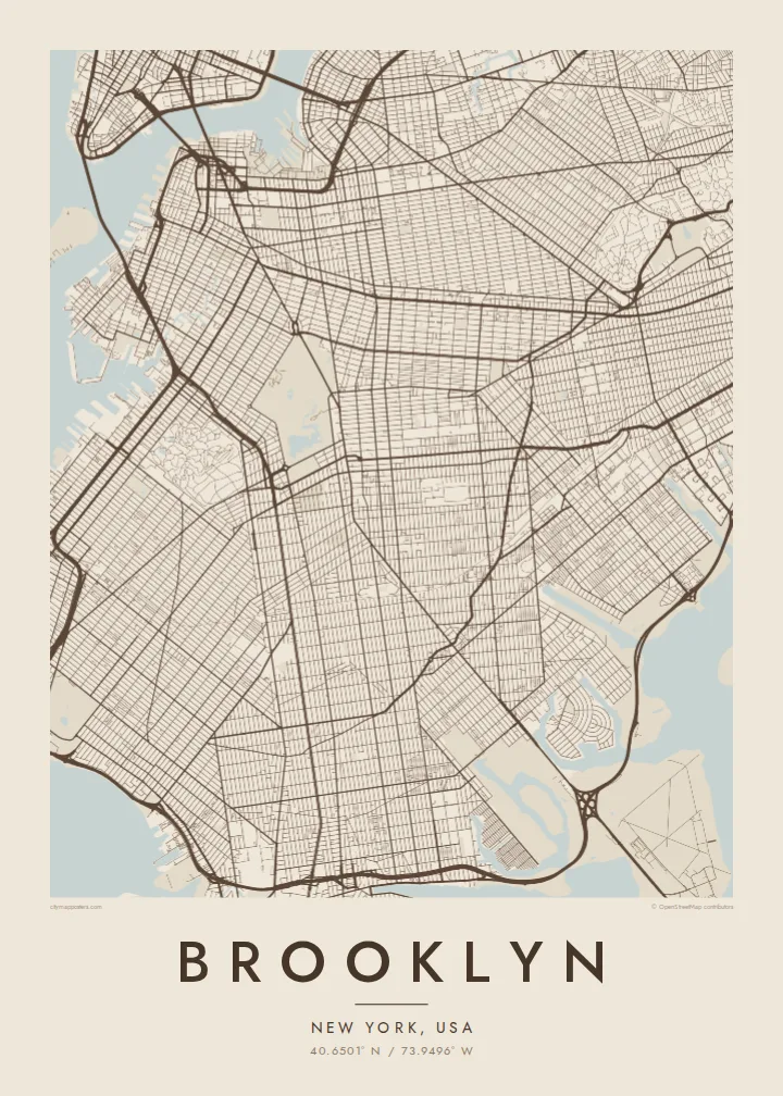
එක් නගරයක්, මනෝභාව පහක්
ශෛලියක් තට්ටු කර එය බිත්තියේ බලන්න. සෑම ශෛලියක්ම එකම මිලට — මුද්රිත, රාමු කළ හෝ HD ගොනු ලෙස.
 සැබෑ පික්සල් · 24 × 36″ මුද්රණ ගොනුව
මුද්රණයට තියුණු
මෙය සැබෑ මුද්රණ ගොනුවේ 100% කැපුමකි. සෑම පෝස්ටරයක්ම — මුද්රිත, රාමු කළ හෝ බාගත කළ — අපගේ සර්වර්වල 300 DPI වලින්, 7,200 × 10,800 පික්සල් දක්වා විදැහුම් කරනු ලැබේ, එමගින් 24 × 36″ මුද්රණයක සිඟුම් වීදිවත් පැහැදිලිව පෙනේ.
බිත්තියේ

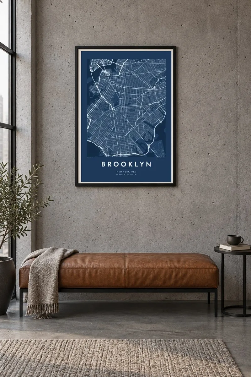

සිතියම
Brooklyn occupies the western end of Long Island, facing Manhattan across the East River. From above, it is a patchwork of street grids that meet at different angles. Each grid reflects the villages and towns that were joined together as Brooklyn grew into a city of its own, before becoming part of New York City in 1898.
Prospect Park forms a large green space in the middle of the borough, next to Green-Wood Cemetery with its winding paths. The Gowanus Canal cuts a straight line inland from the harbour. Long avenues, such as Ocean Parkway, run toward the southern shore and Coney Island.
The Brooklyn Bridge and Manhattan Bridge link the borough to Manhattan in the northwest. To the southeast, Jamaica Bay's marshes and islands form an irregular edge. A Brooklyn map poster shows how the grids, parks and waterfronts fit together in this large and varied borough.
Brooklyn's streets form several grids that meet at different angles, following the plans of earlier towns. This makes the map more varied than Manhattan's.
A large park in the centre of the borough, with meadows, woods and a lake. On the map it forms a big green shape surrounded by dense blocks.
This narrow, straight canal runs inland from the harbour, cutting through the street grid in a clear line near Park Slope and Carroll Gardens.
ඔබේම කරගන්න
දිනයක්, නමක් හෝ ඔබේම වාක්යයක් එක් කරන්න, ශෛලිය, ප්රමාණය හෝ දිශානතිය වෙනස් කරන්න.
නොමිලේ පෙරදසුන අඩු විභේදනයෙන් සහ watermark සමඟින් වේ. මුද්රණ සහ HD ගොනු watermark නොමැතිව, 300 DPI, 7,200 × 10,800 px දක්වා විදැහුම් කරනු ලැබේ.
ඇයි Brooklyn
Brooklyn is home to many people who identify with their neighbourhood as strongly as with the city itself. A map of the grids, the park and the shorelines is a personal way to mark that connection.
You can set your own title, subtitle and coordinates, for example your neighbourhood or a moving date, and choose from Classic black & white, Noir, Paper, Blueprint and Sand. Get it as a digital file or printed poster.
Brooklyn පෝස්ටරය ඇණවුම් කරන්න| මුද්රණ ප්රමාණය | විභේදනය | ගොනු |
|---|---|---|
| 30 × 40 cm (11.8 × 15.7″) | 3,543 × 4,724 px | PNG · PDF |
| 29.7 × 42 cm (A3, 11.7 × 16.5″) | 3,508 × 4,961 px | PNG · PDF |
| 42 × 59.4 cm (A2, 16.5 × 23.4″) | 4,961 × 7,016 px | PNG · PDF |
| 45.7 × 61 cm (18 × 24″) | 5,400 × 7,200 px | PNG · PDF |
| 50 × 70 cm (19.7 × 27.6″) | 5,906 × 8,268 px | PNG · PDF |
| 61 × 91.4 cm (24 × 36″) | 7,200 × 10,800 px | PNG · PDF |
සැසඳීම සඳහා, නොමිලේ ලැබෙන පෙරදසුන 900 px පළල, ජල සලකුණු සහිත සහ තිර සඳහා අදහස් කළකි. HD ගොනුවල එක් එක් දිශාවට 8 ගුණයක් දක්වා විභේදනයක් ඇති අතර සම්පූර්ණ පෝස්ටර් ප්රමාණයෙන් පිරිසිදුව මුද්රණය වේ.
පිටුවේ ඉහළින් ශෛලියක් තෝරන්න, පසුව මුද්රිත පෝස්ටරය — ප්රමාණයක් සහ, ඔබ කැමති නම්, රාමුවක් — හෝ Digital HD Files තෝරන්න. ගෙවීම එක් පියවරකින් සිදු වන අතර, ගෙවීම සම්පූර්ණ වූ විගසම ඔබේ ඇණවුම් පිටුව යාවත්කාලීන වේ.
එය 30 × 40 cm සිට 24 × 36″ දක්වා ප්රමාණ හයකින් ප්රිමියම් 200 gsm මැට් කඩදාසි මත මුද්රණය කෙරේ. මුද්රිත පෝස්ටර $39 සිට ආරම්භ වේ, බෙදාහැරීම ඇතුළුව.
ඔව්. කළු, සුදු, ස්වාභාවික ඕක් හෝ තද පැහැති දැව රාමුවක් තෝරන්න. එය කැඩෙන්නට නොහැකි වීදුරුවක් සමඟින් සූදානම්ව එනු ලබන අතර එසැණින් එල්ලීමට හැකිය. රාමු කළ පෝස්ටර $99 සිට ආරම්භ වේ, බෙදාහැරීම ඇතුළුව.
ලොව පුරා නොමිලේ බෙදාහැරීම. සෑම පෝස්ටරයක්ම රටවල් 30+ ක අපගේ මුද්රණ හවුල්කරුවන්ගෙන් ඔබට ළඟම සිටින අයෙකු විසින් මුද්රණය කරන අතර සාමාන්යයෙන් වැඩ කරන දින 3–7 ක් ඇතුළත ලැබේ. තත්ත්වය සහ ලුහුබැඳීම "මගේ ඇණවුම්" යටතේ බලාගත හැක. සමහර රටවලට සති 2–5 ක් ගත වන අතර, අපි තවමත් බෙදාහරින්නේ නැති රටවල් සම්බන්ධයෙන් ගෙවීමට පෙර අඩවිය ඔබට දැනුම් දෙයි.
බෙදාහැරීමෙන් දින 14ක් ඇතුළත අපට ඡායාරූපයක් යවන්න, අපි එය නොමිලේ නැවත මුද්රණය කරන්නෙමු හෝ ඔබට මුදල් ආපසු ලබා දෙන්නෙමු.
ඔව්. මෙම පිටුවේ එඩිටරයේ, මාතෘකාව, උපමාතෘකාව සහ ඛණාංක රේඛාව ඔබට කැමති ඕනෑම දෙයකට වෙනස් කර, ශෛලියක් සහ ප්රමාණයක් තෝරන්න. මුද්රිත, රාමු කළ සහ ඩිජිටල් ඇණවුම් සියල්ලම හරියටම ඔබේ නිර්මාණය භාවිත කරයි.
$9කට ඔබට ප්රමාණ හයම සඳහා 300 DPI PNG සහ මුද්රණයට සූදානම් PDF ගොනු, watermark නොමැතිව, ඕනෑම තැනක මුද්රණය කිරීමට ලැබේ. තවම විශ්වාස නැද්ද? මුලින්ම නොමිලේ watermark සහිත පෙරදසුනක් බාගන්න.
