The Kame
A towering cliff on the west coast, among the highest in Britain, where the land drops almost vertically to the sea. On the map the contour lines crowd together sharply.
Minimalistički poster mape · Уједињено Краљевство
60.1338° N / 2.0779° W
A small, high Shetland island rising to great western cliffs, with its few crofts spread along the eastern side.



Jedan grad, pet raspoloženja
Dodirnite stil da ga vidite na zidu. Svaki stil ima istu cenu — u štampi, uramljen ili kao HD fajlovi.
 Stvarni pikseli · fajl za štampu 24 × 36″
Oštro za štampu
Ovo je isečak u realnoj veličini iz fajla za štampu. Svaki poster — štampan, uramljen ili preuzet — renderuje se na našim serverima u rezoluciji 300 DPI, do 7,200 × 10,800 piksela, tako da čak i najsitnije ulice ostaju oštre na štampi 24 × 36″.
Na zidu


Mapa
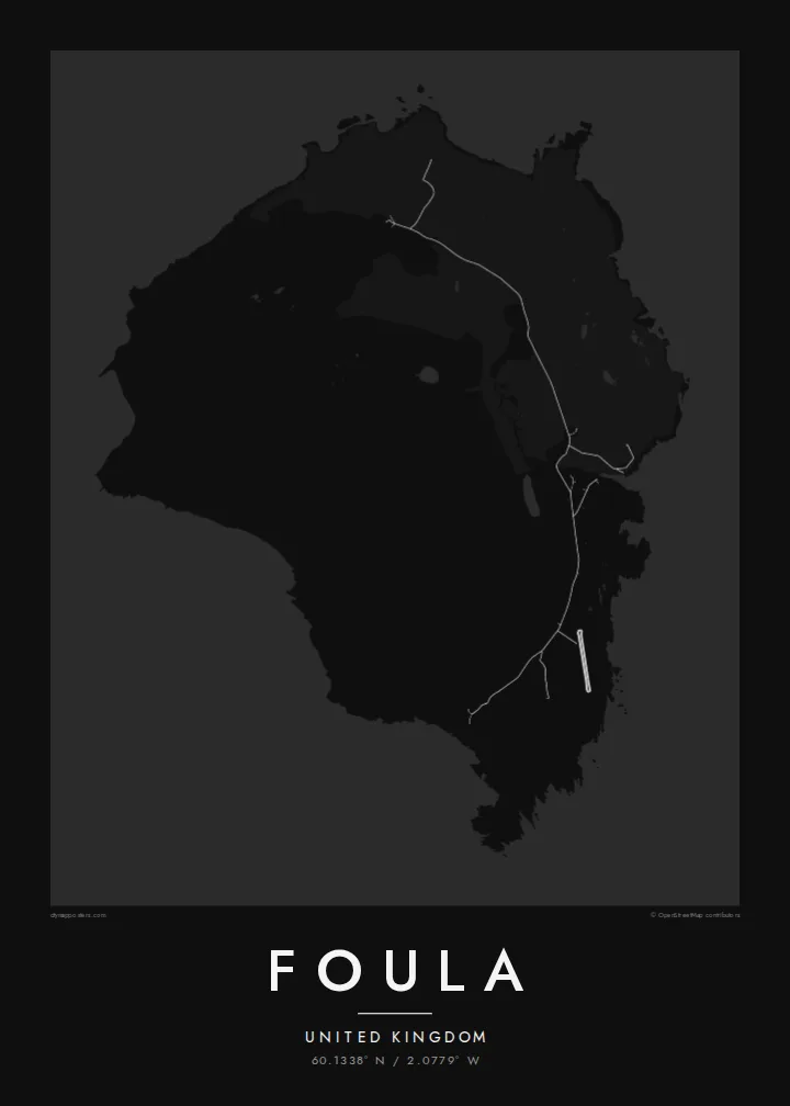
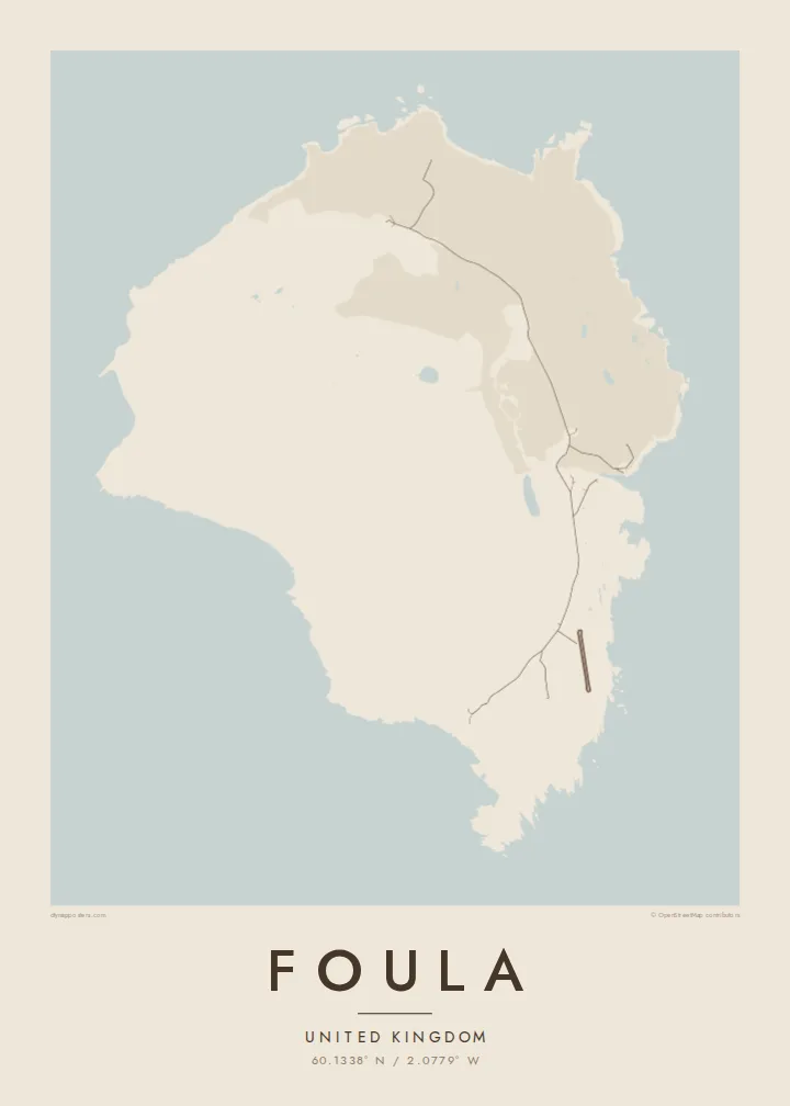
Foula lies well west of mainland Shetland and is one of the most remote inhabited islands in Britain. On a map it is a compact, rounded block of land, but the relief tells the real story. High hills rise steeply toward the west and end in sheer sea cliffs. The eastern side slopes gently down to the shore, where the crofts and the small harbour are.
The Kame, on the west coast, is among the highest sea cliffs in the United Kingdom. The hills and moorland hold large seabird colonies, including great skuas. Foula also keeps an old custom: the community still follows the Julian calendar for its festive season and celebrates Christmas in early January.
Only a few dozen people live here, and the island is reached by a small ferry or light aircraft when the weather allows. A Foula map poster shows a place where human lines are few and faint. There is a single road along the east, and height, wind and the Atlantic shape almost everything else.
A towering cliff on the west coast, among the highest in Britain, where the land drops almost vertically to the sea. On the map the contour lines crowd together sharply.
The island's homes and fields are spread along the gentler east side. A single road links them and makes up nearly all of the map's human detail.
Several steep hills fill the heart of the island. They give the map strong relief and a sense of height that is unusual for such a small place.
Prilagodite ga sebi
Dodajte datum, ime ili svoj tekst, promenite stil, veličinu ili orijentaciju.
Besplatan pregled je niske rezolucije sa vodenim žigom. Štampani posteri i HD fajlovi se renderuju u 300 DPI, do 7,200 × 10,800 px, bez vodenog žiga.
Zašto Foula
Foula draws people who love the far edges of the British Isles: birdwatchers, walkers and those with Shetland roots. Its high, lonely form gives the print real presence, even at the smallest size.
Personalise the title and subtitle with a name, a crossing date or a line of verse, keep the coordinates, and choose one of five styles. Order a matte poster, framed or unframed, or download the full set of HD files.
Naručite poster Foula| Veličina štampe | Rezolucija | Fajlovi |
|---|---|---|
| 30 × 40 cm (11.8 × 15.7″) | 3,543 × 4,724 px | PNG · PDF |
| 29.7 × 42 cm (A3, 11.7 × 16.5″) | 3,508 × 4,961 px | PNG · PDF |
| 42 × 59.4 cm (A2, 16.5 × 23.4″) | 4,961 × 7,016 px | PNG · PDF |
| 45.7 × 61 cm (18 × 24″) | 5,400 × 7,200 px | PNG · PDF |
| 50 × 70 cm (19.7 × 27.6″) | 5,906 × 8,268 px | PNG · PDF |
| 61 × 91.4 cm (24 × 36″) | 7,200 × 10,800 px | PNG · PDF |
Poređenja radi, besplatan pregled je širok 900 px, ima vodeni žig i namenjen je ekranima. HD fajlovi imaju do 8× veću rezoluciju u svakom pravcu i štampaju se čisto u punoj veličini postera.
Izaberite stil na vrhu stranice, zatim odaberite Štampani poster — veličinu i, ako želite, ram — ili Digitalne HD fajlove. Plaćanje traje jedan korak, a stranica vaše narudžbine se ažurira čim uplata prođe.
Štampa se na premium mat papiru gramature 200 g/m² u jednoj od šest veličina, od 30 × 40 cm do 24 × 36″. Štampani posteri počinju od $39, dostava uključena.
Da. Izaberite ram od masivnog drveta u crnoj, beloj, prirodnoj hrastovoj ili tamnoj boji. Dolazi sa neraspadajućim staklom otpornim na udarce i spreman je za kačenje. Uramljeni posteri počinju od $99, dostava uključena.
Dostava je besplatna u celom svetu. Svaki poster štampa najbliži od naših partnera za štampu u više od 30 zemalja, a obično stiže za 3–7 radnih dana. Status i praćenje pošiljke možete pratiti u odeljku Moje porudžbine. U nekoliko zemalja dostava traje 2–5 nedelja, a ako još ne dostavljamo u vašu zemlju, sajt će vas obavestiti pre plaćanja.
Pošaljite nam fotografiju u roku od 14 dana od isporuke i besplatno ćemo ga ponovo odštampati ili vam vratiti novac.
Da. U uređivaču na ovoj stranici izmenite naslov, podnaslov i red sa koordinatama po želji, i izaberite stil i veličinu. Štampane, uramljene i digitalne narudžbine koriste tačno vaš dizajn.
Za $9 dobijate PNG fajlove u rezoluciji 300 DPI i PDF fajlove spremne za štampu u svih šest veličina, bez vodenog žiga, za štampu bilo gde. Niste sigurni? Prvo preuzmite besplatan pregled sa vodenim žigom.
U blizini
