Three cirques
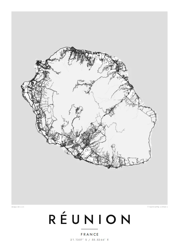
Cilaos, Salazie and Mafate form a cloverleaf of deep basins around Piton des Neiges. On the poster they appear as clusters of thin, winding lines surrounded by steep, empty slopes.
โปสเตอร์แผนที่มินิมอล · ฝรั่งเศส
21.1307° S / 55.5266° E
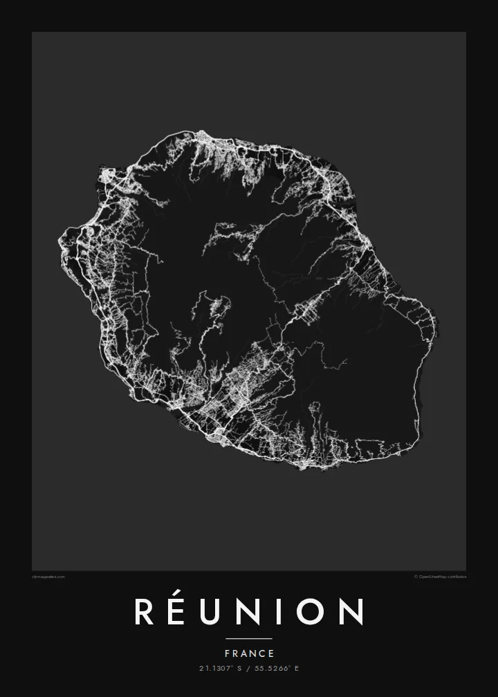
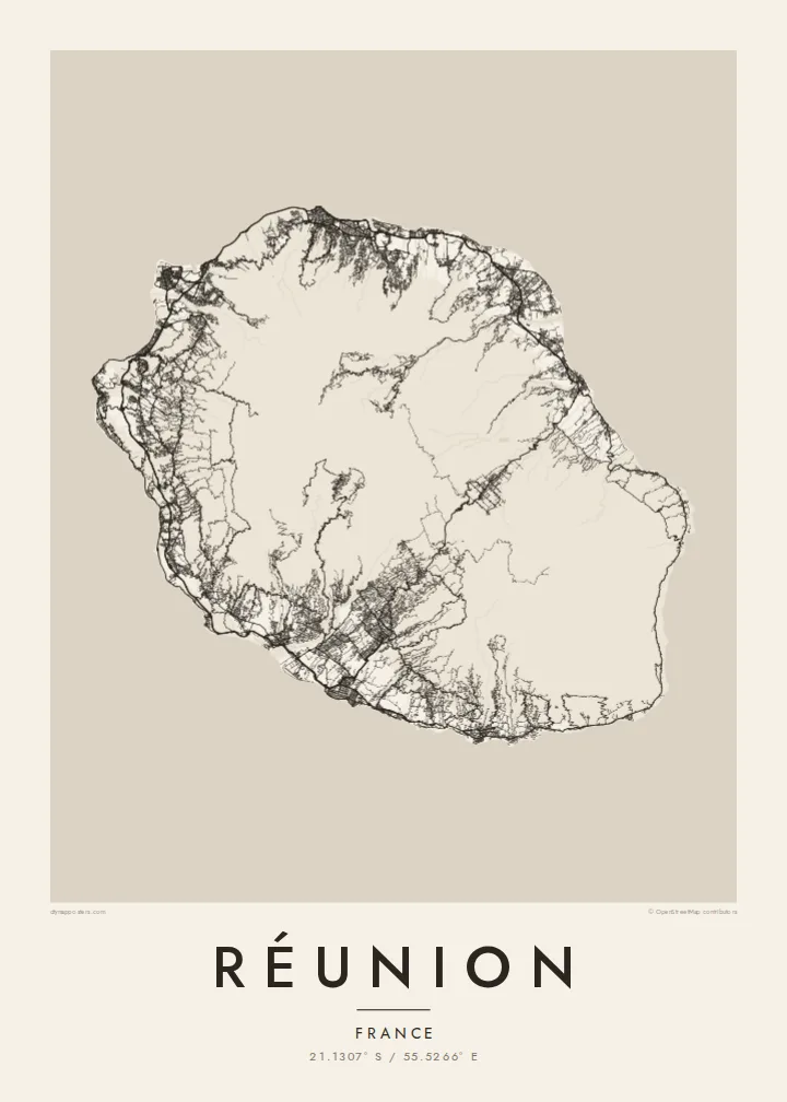
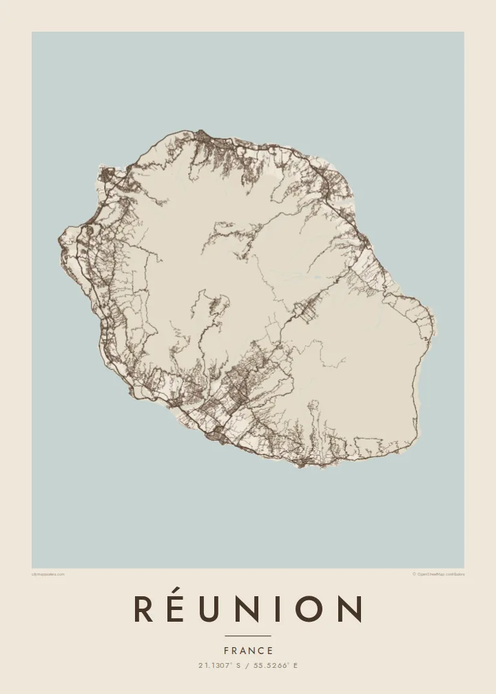
A near-round volcanic island cut by three deep cirques, with a ring of coastal towns and a live volcano in the southeast.

หนึ่งเมือง ห้าอารมณ์
แตะเลือกสไตล์เพื่อดูภาพบนผนัง ทุกสไตล์ราคาเท่ากัน ไม่ว่าจะเป็นแบบพิมพ์ ใส่กรอบ หรือไฟล์ HD
 พิกเซลจริง · ไฟล์พิมพ์ขนาด 24 × 36″
คมชัดระดับงานพิมพ์
นี่คือภาพครอปจากไฟล์พิมพ์จริงแบบ 100% โปสเตอร์ทุกใบ ไม่ว่าจะพิมพ์ ใส่กรอบ หรือดาวน์โหลด จะถูกเรนเดอร์บนเซิร์ฟเวอร์ของเราที่ 300 DPI สูงสุดถึง 7,200 × 10,800 พิกเซล เพื่อให้แม้แต่ซอยเล็กที่สุดยังคมชัดบนงานพิมพ์ขนาด 24 × 36″
บนผนัง


แผนที่
Réunion is a French overseas department in the Indian Ocean, roughly oval and a little over sixty kilometres along its longest axis. Almost all of its interior is mountain. Piton des Neiges, the highest summit in the Indian Ocean at just over 3,000 metres, stands near the centre, and around it three vast amphitheatres, the cirques of Cilaos, Salazie and Mafate, have been eroded into the old volcano.
That relief decides everything a map shows. Towns cling to a coastal band joined by a road that circles the island, while the interior is threaded only by switchback routes into Cilaos and Salazie. Mafate has no road at all and is reached on foot or by helicopter. On a Réunion map poster the dense coast and the nearly empty centre form a striking ring.
In the southeast, Piton de la Fournaise is one of the most active volcanoes in the world, and its lava flows have repeatedly crossed the coastal road on their way to the sea. The island's pitons, cirques and ramparts were inscribed as a UNESCO World Heritage Site in 2010. Saint-Denis, the capital, lies on the north coast, where the island's largest street grid spreads toward the mountains.
Cilaos, Salazie and Mafate form a cloverleaf of deep basins around Piton des Neiges. On the poster they appear as clusters of thin, winding lines surrounded by steep, empty slopes.
A road follows the shoreline around the island, linking Saint-Denis, Saint-Paul, Saint-Pierre and the smaller towns into one continuous band of streets that outlines the whole composition.
The capital spreads across a gentle slope on the north coast, its regular blocks climbing from the seafront toward the mountains, the densest urban texture anywhere on the map.
ออกแบบในแบบของคุณ
เพิ่มวันที่ ชื่อ หรือข้อความของคุณเอง เปลี่ยนสไตล์ ขนาด หรือแนวภาพได้ตามใจ
ตัวอย่างฟรีมีความละเอียดต่ำและมีลายน้ำ ส่วนงานพิมพ์และไฟล์ HD เรนเดอร์ที่ 300 DPI สูงสุดถึง 7,200 × 10,800 px โดยไม่มีลายน้ำ
ทำไมต้อง Réunion
Réunion prints well for hikers who have crossed the cirques, families with roots on the island and anyone who has watched the Fournaise erupt. The contrast between the busy coast and the mountain interior makes the outline recognisable even at the smallest size.
Personalise the title, set a subtitle with a date or a trail you walked, and adjust the coordinates line. All five styles are available: Blueprint and Sand suit the island's relief, while Classic, Noir and Paper give a quieter finish. Files are $9 for six sizes, or order a matte printed poster.
สั่งซื้อโปสเตอร์ Réunion| ขนาดพิมพ์ | ความละเอียด | ไฟล์ |
|---|---|---|
| 30 × 40 cm (11.8 × 15.7″) | 3,543 × 4,724 px | PNG · PDF |
| 29.7 × 42 cm (A3, 11.7 × 16.5″) | 3,508 × 4,961 px | PNG · PDF |
| 42 × 59.4 cm (A2, 16.5 × 23.4″) | 4,961 × 7,016 px | PNG · PDF |
| 45.7 × 61 cm (18 × 24″) | 5,400 × 7,200 px | PNG · PDF |
| 50 × 70 cm (19.7 × 27.6″) | 5,906 × 8,268 px | PNG · PDF |
| 61 × 91.4 cm (24 × 36″) | 7,200 × 10,800 px | PNG · PDF |
เพื่อการเปรียบเทียบ ตัวอย่างฟรีกว้าง 900 px มีลายน้ำ และเหมาะสำหรับดูบนหน้าจอ ส่วนไฟล์ HD มีความละเอียดสูงกว่าถึง 8 เท่าในแต่ละด้าน และพิมพ์ได้คมชัดเต็มขนาดโปสเตอร์
เลือกสไตล์ที่ด้านบนของหน้า จากนั้นเลือก Printed Poster — กำหนดขนาดและกรอบตามต้องการ — หรือเลือก Digital HD Files การชำระเงินทำได้ในขั้นตอนเดียว และหน้าคำสั่งซื้อของคุณจะอัปเดตทันทีที่การชำระเงินสำเร็จ
พิมพ์บนกระดาษด้าน 200 แกรมเกรดพรีเมียม มีให้เลือก 6 ขนาด ตั้งแต่ 30 × 40 ซม. ถึง 24 × 36″ โปสเตอร์แบบพิมพ์เริ่มต้นที่ $39 รวมค่าจัดส่งแล้ว
ได้ เลือกกรอบไม้แท้ได้ทั้งสีดำ สีขาว โอ๊กธรรมชาติ หรือไม้เข้ม มาพร้อมกระจกนิรภัยกันแตกและพร้อมแขวนได้ทันที โปสเตอร์พร้อมกรอบเริ่มต้นที่ $99 รวมค่าจัดส่งแล้ว
จัดส่งฟรีทั่วโลก โปสเตอร์แต่ละใบพิมพ์โดยพาร์ตเนอร์การพิมพ์ที่อยู่ใกล้คุณที่สุดจากกว่า 30 ประเทศ และมักจะถึงมือภายใน 3–7 วันทำการ คุณสามารถติดตามสถานะและเลขพัสดุได้ที่ "คำสั่งซื้อของฉัน" บางประเทศใช้เวลา 2–5 สัปดาห์ และหากประเทศไหนที่เรายังไม่จัดส่งไป เว็บไซต์จะแจ้งให้ทราบก่อนชำระเงิน
ส่งภาพถ่ายมาให้เราภายใน 14 วันหลังได้รับสินค้า เราจะพิมพ์ใหม่ให้ฟรีหรือคืนเงินให้
ได้ ในตัวแก้ไขบนหน้านี้ คุณสามารถเปลี่ยนชื่อเรื่อง ข้อความรอง และบรรทัดพิกัดได้ตามต้องการ พร้อมเลือกสไตล์และขนาด ไม่ว่าจะเป็นแบบพิมพ์ ใส่กรอบ หรือไฟล์ดิจิทัล ทุกคำสั่งซื้อจะใช้ดีไซน์ของคุณเป๊ะ
ในราคา $9 คุณจะได้ไฟล์ PNG ความละเอียด 300 DPI และไฟล์ PDF พร้อมพิมพ์ครบทั้ง 6 ขนาด ไม่มีลายน้ำ นำไปพิมพ์ที่ไหนก็ได้ ยังไม่แน่ใจ? ดาวน์โหลดตัวอย่างแบบมีลายน้ำฟรีก่อนได้
