The Congo estuary
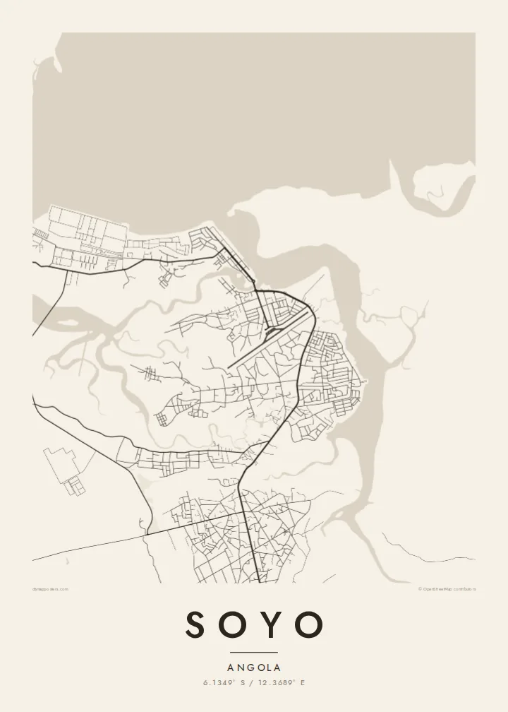
The wide mouth of the Congo dominates the northern side of the map, a broad expanse of water that marks the border between Angola and the Democratic Republic of the Congo.
โปสเตอร์แผนที่มินิมอล · แองโกลา
6.1349° S / 12.3689° E
A low-lying town at the mouth of the Congo River, where estuary channels, mangrove islands and the Atlantic coast converge.



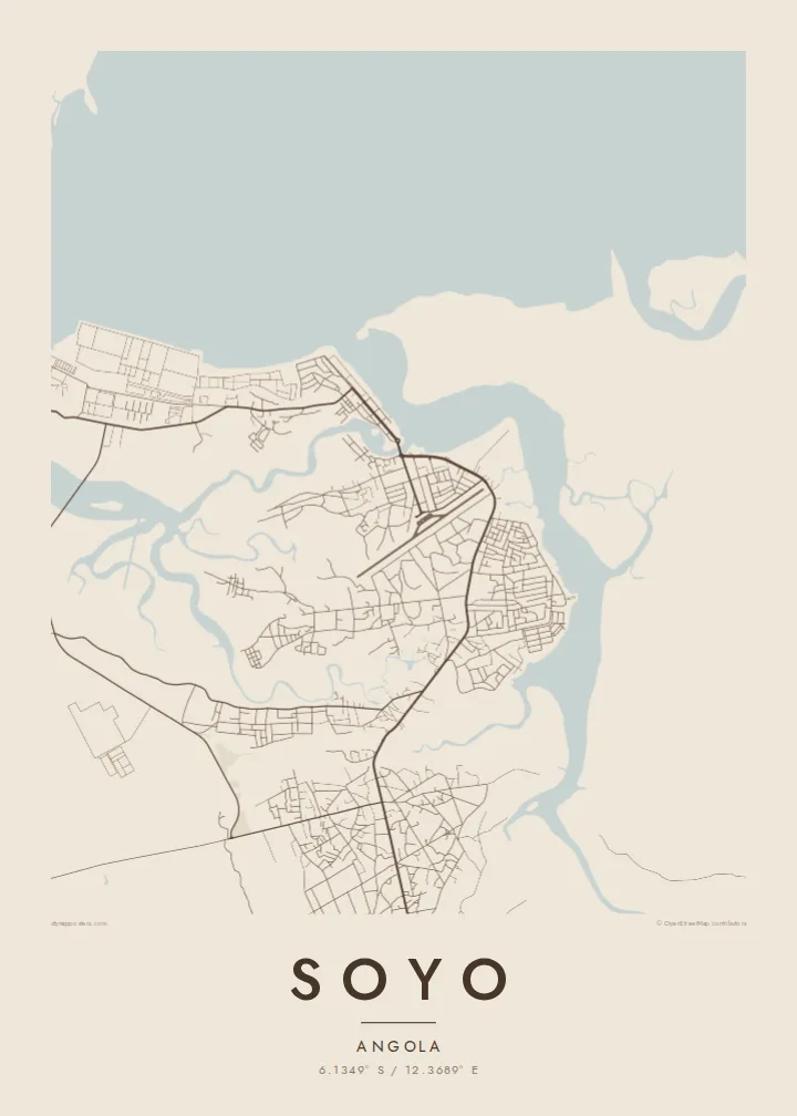
หนึ่งเมือง ห้าอารมณ์
แตะเลือกสไตล์เพื่อดูภาพบนผนัง ทุกสไตล์ราคาเท่ากัน ไม่ว่าจะเป็นแบบพิมพ์ ใส่กรอบ หรือไฟล์ HD
 พิกเซลจริง · ไฟล์พิมพ์ขนาด 24 × 36″
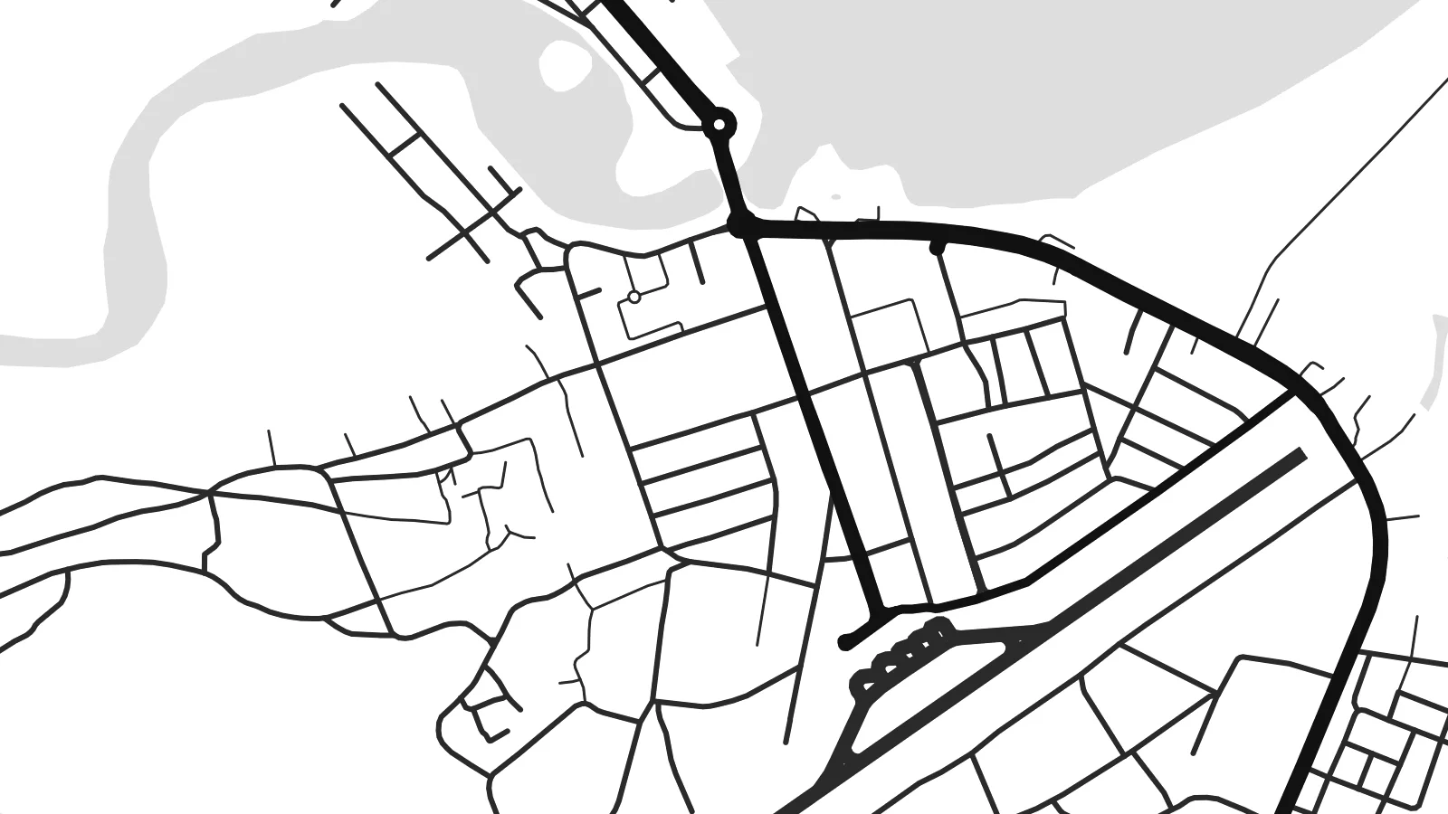
คมชัดระดับงานพิมพ์
นี่คือภาพครอปจากไฟล์พิมพ์จริงแบบ 100% โปสเตอร์ทุกใบ ไม่ว่าจะพิมพ์ ใส่กรอบ หรือดาวน์โหลด จะถูกเรนเดอร์บนเซิร์ฟเวอร์ของเราที่ 300 DPI สูงสุดถึง 7,200 × 10,800 พิกเซล เพื่อให้แม้แต่ซอยเล็กที่สุดยังคมชัดบนงานพิมพ์ขนาด 24 × 36″
บนผนัง


แผนที่
Soyo stands on the southern bank of the Congo estuary in northern Angola, on flat ground where the river meets the Atlantic. The map here is shaped as much by water as by streets: branching channels, low islands and creeks spread across the landscape, and the town's road network sits on the firmer land between them, reaching toward the shore.
The Congo is one of the world's largest rivers by discharge, and its mouth has long been a landmark for sailors. In 1482 the Portuguese navigator Diogo Cão reached the estuary and set up a stone pillar, or padrão, on the nearby point that still carries the name Ponta do Padrão. The coast around Soyo was part of the historic Kingdom of Kongo.
In recent decades Soyo has grown as a centre of Angola's oil and gas industry, with an LNG plant and industrial installations on the coast. A Soyo map poster sets the town against its setting, where the fine lines of streets give way to the irregular outlines of a vast river mouth on the edge of the ocean.
The wide mouth of the Congo dominates the northern side of the map, a broad expanse of water that marks the border between Angola and the Democratic Republic of the Congo.
Creeks and side channels cut the low ground into irregular shapes, so the land itself looks like a puzzle of islands threaded between the town and the river.
To the west the land meets the open ocean along a fairly straight coast, a clean edge that contrasts with the ragged outlines of the estuary.
ออกแบบในแบบของคุณ
เพิ่มวันที่ ชื่อ หรือข้อความของคุณเอง เปลี่ยนสไตล์ ขนาด หรือแนวภาพได้ตามใจ
ตัวอย่างฟรีมีความละเอียดต่ำและมีลายน้ำ ส่วนงานพิมพ์และไฟล์ HD เรนเดอร์ที่ 300 DPI สูงสุดถึง 7,200 × 10,800 px โดยไม่มีลายน้ำ
ทำไมต้อง Soyo
For people who have worked in Soyo's energy sector, or families from Zaire province, this map records a place defined by its river. The interplay of water and land makes an unusual, almost abstract print for a home or office.
Personalise the title and subtitle, perhaps with the years spent there, and choose Classic black & white, Noir, Paper, Blueprint or Sand. The digital download costs $9 and includes six sizes, from 30×40 cm to 24×36″, without a watermark.
สั่งซื้อโปสเตอร์ Soyo| ขนาดพิมพ์ | ความละเอียด | ไฟล์ |
|---|---|---|
| 30 × 40 cm (11.8 × 15.7″) | 3,543 × 4,724 px | PNG · PDF |
| 29.7 × 42 cm (A3, 11.7 × 16.5″) | 3,508 × 4,961 px | PNG · PDF |
| 42 × 59.4 cm (A2, 16.5 × 23.4″) | 4,961 × 7,016 px | PNG · PDF |
| 45.7 × 61 cm (18 × 24″) | 5,400 × 7,200 px | PNG · PDF |
| 50 × 70 cm (19.7 × 27.6″) | 5,906 × 8,268 px | PNG · PDF |
| 61 × 91.4 cm (24 × 36″) | 7,200 × 10,800 px | PNG · PDF |
เพื่อการเปรียบเทียบ ตัวอย่างฟรีกว้าง 900 px มีลายน้ำ และเหมาะสำหรับดูบนหน้าจอ ส่วนไฟล์ HD มีความละเอียดสูงกว่าถึง 8 เท่าในแต่ละด้าน และพิมพ์ได้คมชัดเต็มขนาดโปสเตอร์
เลือกสไตล์ที่ด้านบนของหน้า จากนั้นเลือก Printed Poster — กำหนดขนาดและกรอบตามต้องการ — หรือเลือก Digital HD Files การชำระเงินทำได้ในขั้นตอนเดียว และหน้าคำสั่งซื้อของคุณจะอัปเดตทันทีที่การชำระเงินสำเร็จ
พิมพ์บนกระดาษด้าน 200 แกรมเกรดพรีเมียม มีให้เลือก 6 ขนาด ตั้งแต่ 30 × 40 ซม. ถึง 24 × 36″ โปสเตอร์แบบพิมพ์เริ่มต้นที่ {printFrom} รวมค่าจัดส่งแล้ว
ได้ เลือกกรอบไม้แท้ได้ทั้งสีดำ สีขาว โอ๊กธรรมชาติ หรือไม้เข้ม มาพร้อมกระจกนิรภัยกันแตกและพร้อมแขวนได้ทันที โปสเตอร์พร้อมกรอบเริ่มต้นที่ {framedFrom} รวมค่าจัดส่งแล้ว
จัดส่งฟรีทั่วโลก โปสเตอร์แต่ละใบจะพิมพ์โดยพันธมิตรโรงพิมพ์ที่ใกล้ที่สุดจากกว่า 30 ประเทศ และมักจะถึงมือคุณภายใน 3–7 วันทำการ ตรวจสอบสถานะและติดตามพัสดุได้ที่ My Orders
ส่งภาพถ่ายมาให้เราภายใน 14 วันหลังได้รับสินค้า เราจะพิมพ์ใหม่ให้ฟรีหรือคืนเงินให้
ได้ ในตัวแก้ไขบนหน้านี้ คุณสามารถเปลี่ยนชื่อเรื่อง ข้อความรอง และบรรทัดพิกัดได้ตามต้องการ พร้อมเลือกสไตล์และขนาด ไม่ว่าจะเป็นแบบพิมพ์ ใส่กรอบ หรือไฟล์ดิจิทัล ทุกคำสั่งซื้อจะใช้ดีไซน์ของคุณเป๊ะ
ในราคา $9 คุณจะได้ไฟล์ PNG ความละเอียด 300 DPI และไฟล์ PDF พร้อมพิมพ์ครบทั้ง 6 ขนาด ไม่มีลายน้ำ นำไปพิมพ์ที่ไหนก็ได้ ยังไม่แน่ใจ? ดาวน์โหลดตัวอย่างแบบมีลายน้ำฟรีก่อนได้
