Ribbon road
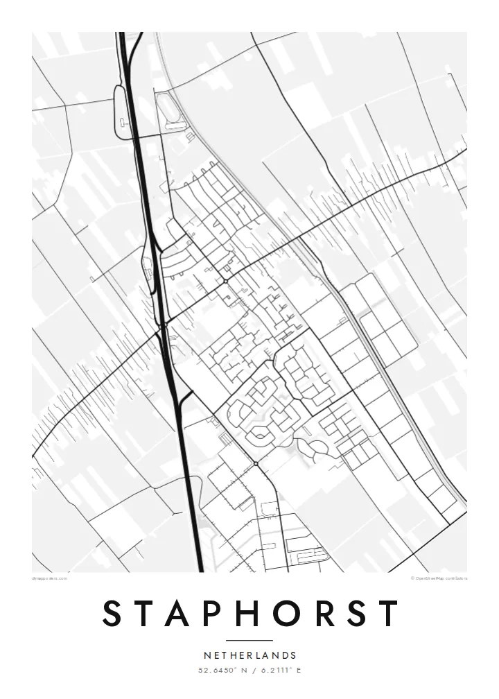
The village follows one main road for several kilometres. Houses and farms line both sides, forming a long, narrow built-up strip across the map.
Minimalistik karta plakaty · Niderlandlar
52.6450° N / 6.2111° E
A Dutch ribbon village that stretches for kilometres along one road, with long, narrow farm plots on either side


Bir şäher, bäş keýp
Diwarda nähili görünjegini görmek üçin stile basyň. Ähli stiller bir bahadan — çap edilen, çarçuwaly ýa-da HD faýl görnüşinde.
 Hakyky pikseller · 24 × 36″ çap faýly
Çapda aýdyň
Bu hakyky çap faýlynyň 100% kesigi. Her poster — çap edilen, çarçuwaly ýa-da ýüklenen — serwerlerimizde 300 DPI, 7,200 × 10,800 piksele çenli işlenip taýýarlanýar, şonuň üçin iň kiçi köçeler hem 24 × 36″ çapda arassa görünýär.
Diwarda


Karta
Staphorst in Overijssel is one of the best-known examples of a Dutch lintdorp, or ribbon village. Rather than growing around a centre, it developed along a single long road. Farmhouses stand one after another, and behind each one runs a long, narrow strip of land. These parcels date back to the medieval reclamation of the peat moors.
The village is also known for its strongly traditional Protestant community. Some older residents still wear the distinctive local costume, and many farmhouses keep their characteristic green and blue painted doors and shutters. The A28 motorway runs close by, and the contrast between the old farm pattern and modern infrastructure is visible on any map.
A Staphorst map poster is unlike almost any other place. A single line of buildings runs across the sheet, and a comb of long field strips extends at right angles from it, ruled with ditches in a remarkably regular pattern. It is one of the clearest examples of how Dutch land reclamation shaped the landscape, and it makes an unusually graphic print.
The village follows one main road for several kilometres. Houses and farms line both sides, forming a long, narrow built-up strip across the map.
Behind each farm, long rectangular fields stretch away from the road. Ditches separate them, forming a striking comb-like pattern on paper.
The motorway and railway pass near the village. Their straight modern lines run alongside the much older pattern of farms and fields.
Özüňiziňki ediň
Sene, at ýa-da öz setiriňizi goşuň, stili, ölçegi ýa-da ugry üýtgediň.
Mugt deslapky görnüş pes durulykda we suw belgili. Çaplar we HD faýllar suw belgisiz, 300 DPI, 7,200 × 10,800 px çenli işlenip taýýarlanýar.
Näme üçin Staphorst
Staphorst is a place Dutch geography students learn about, and it is instantly recognisable from the air. The poster suits anyone with roots here, as well as people who love landscape history or unusual maps.
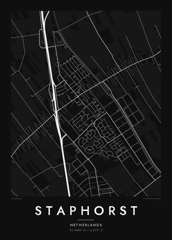
Personalise the title, subtitle and coordinates line, perhaps with a farm name or a family surname. Choose from Classic black and white, Noir, Paper, Blueprint or Sand. Blueprint emphasises the precise geometry of the field strips.
Staphorst posterini sargyt ediň| Çap ölçegi | Çözgüt | Faýllar |
|---|---|---|
| 30 × 40 cm (11.8 × 15.7″) | 3,543 × 4,724 px | PNG · PDF |
| 29.7 × 42 cm (A3, 11.7 × 16.5″) | 3,508 × 4,961 px | PNG · PDF |
| 42 × 59.4 cm (A2, 16.5 × 23.4″) | 4,961 × 7,016 px | PNG · PDF |
| 45.7 × 61 cm (18 × 24″) | 5,400 × 7,200 px | PNG · PDF |
| 50 × 70 cm (19.7 × 27.6″) | 5,906 × 8,268 px | PNG · PDF |
| 61 × 91.4 cm (24 × 36″) | 7,200 × 10,800 px | PNG · PDF |
Deňeşdirmek üçin: mugt nusga 900 px giňlikde, suw belgili we ekranlar üçin niýetlenen. HD faýllaryň çözgüdi her tarapa 8 esse çenli ýokary we doly plakat ölçeginde arassa çap edilýär.
Sahypanyň ýokarsyndan stili saýlaň, soňra Çap edilen Poster — ölçegini we isleseňiz çarçuwasyny — ýa-da Sanly HD Faýllary saýlaň. Töleg bir ädimde amala aşyrylýar, tölegiňiz geçen dessine sargyt sahypaňyz täzelenýär.
Ol ýokary hilli 200 gsm mat kagyza, alty ölçegiň birinde, 30 × 40 sm-den 24 × 36″-a çenli çap edilýär. Çap edilen posterler {printFrom}-dan başlaýar, eltip bermek bahasy girýär.
Hawa. Gara, ak, tebigy dub ýa-da garaňky agaç reňkinde tutuş agaç çarçuwany saýlaň. Ol döwülmeýän aýna bilen gelýär we asmaga taýýar. Çarçuwaly posterler {framedFrom}-dan başlaýar, eltip bermek bahasy girýär.
Eltip bermek dünýäniň ähli ýerinde mugt. Her poster 30-dan gowrak ýurtdaky çap hyzmatdaşlarymyzyň iň ýakynynda çap edilýär we adatça 3–7 iş gününde gelýär. Ýagdaýyny we yzarlamany Sargytlarym bölüminde görüp bilersiňiz.
Eltilenden soň 14 günüň dowamynda bize surat iberiň, biz ony mugt gaýtadan çap ederis ýa-da puluňyzy yzyna gaýtararys.
Hawa. Bu sahypadaky redaktorda ady, kiçi ady we koordinatlar setirini islän zadyňyza üýtgediň, soňra stil we ölçeg saýlaň. Çap edilen, çarçuwaly we sanly sargytlaryň ählisi siziň dizaýnyňyzy takyk ulanýar.
$9 üçin ähli alty ölçegde, suw belgisiz, islendik ýerde çap edip bolýan 300 DPI PNG we çap etmäge taýyn PDF faýllaryny alýarsyňyz. Entek gutarnykly karara gelmediňizmi? Ilki mugt, suw belgili deslapky görnüşi göçürip alyň.
Golaýda
