Māngere Mountain
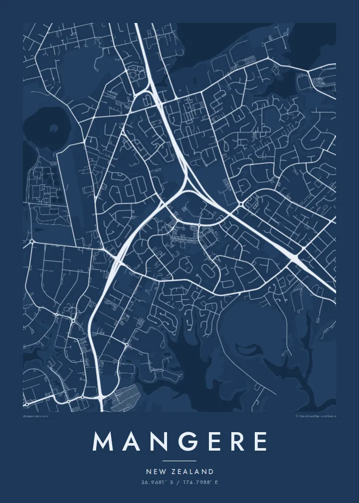
A volcanic cone rises above the suburb with its crater still visible. On the map it forms a round open space ringed by streets.
Pōhita mape faigofie · New Zealand
36.9681° S / 174.7988° E
A South Auckland suburb between volcanic cones and the tidal Manukau Harbour, with the airport runway stretching along its shore.



Taone e tahi, lagona e lima
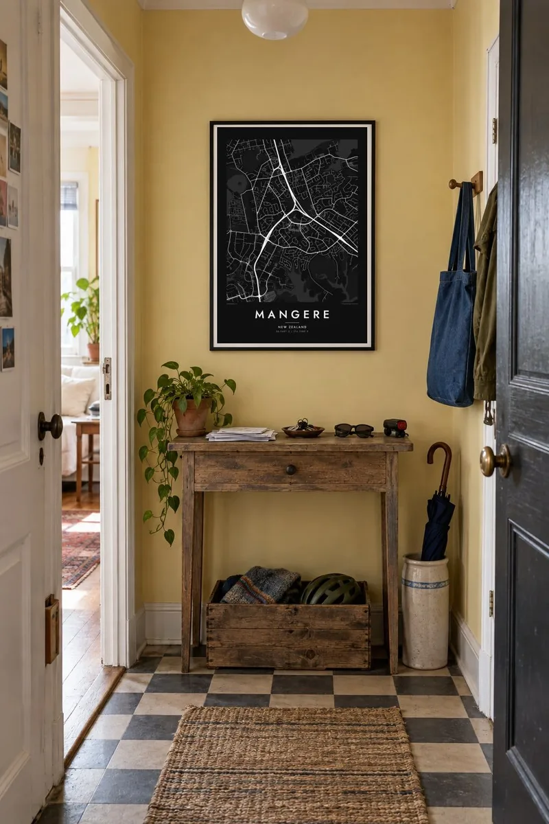
Pa'i se ata ke va'ai ai i luga o te pā. E tutusa te tau o ata uma — i lomiga, fakapipi'i i faleata, pe ko faila HD.
 Pixels mo'i · Faila lomiga 24 × 36″
Manino mo te lomiga
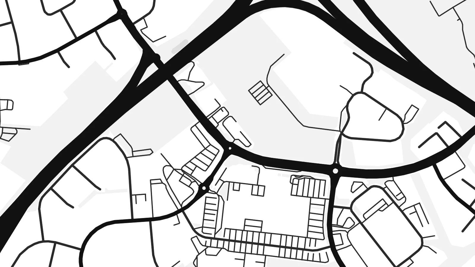
Ko se kupega 100% mai te faila lomiga mo'i. Poster uma — pe lomiina, fakapipi'i i faleata, pe download-ina — e fakaatagia i luga o a matou setula i te 300 DPI, e oo atu ki te 7,200 × 10,800 pixels, ina ia mautinoa e ma'ai pea auala tuai foki i luga o se lomiga 24 × 36″.
I luga o te pa


Te mape
Māngere lies in South Auckland on the northeastern shore of the Manukau Harbour. It is one of the most distinctive areas of the city to see from above. The coastline is full of tidal inlets and mudflats, and several volcanic cones rise from the suburban streets, part of the Auckland volcanic field. The largest, Māngere Mountain, keeps its crater shape and appears on the map as a round patch of open ground.
To the south stretches Auckland Airport, whose long runway runs parallel to the harbour on low, flat land. It is one of the strongest straight lines anywhere in the region. A Mangere map poster sets that engineered geometry against the curving residential streets and the irregular coastline, a contrast that makes the composition striking.
To the north, Māngere Bridge crosses the harbour inlet toward Onehunga. Along the shore, Ambury Regional Park and the stonefields near Ihumātao preserve open land with long Māori and early farming history. Today Māngere is known for its large Pasifika and Māori communities, and its streets, parks and marae carry that identity.
A volcanic cone rises above the suburb with its crater still visible. On the map it forms a round open space ringed by streets.
The long runway of Auckland Airport runs beside the Manukau Harbour, a single precise line that dominates the southern part of the poster.
Tidal inlets, mudflats and coastal parks such as Ambury shape an indented edge where the suburb meets the harbour, giving the map a complex outline.
Fai mo koe
Fakaopoopo he aho, he igoa pe he upu a koe, hui te faiga, te lahi pe te tūlaga.
Ko te va'aiga e leai se totogi e maualalo tona resolution ma iai se fakailoga vai. E fakaatagia lomiga ma faila HD i te 300 DPI, e oo atu ki te 7,200 × 10,800 px, e aunoa ma se fakailoga vai.
Aiheā Mangere
Māngere is where many families landed in New Zealand and built their lives. A map of it holds the streets, the mountain and the harbour, and makes a meaningful gift for anyone whose story runs through South Auckland.
Write a title, add a subtitle such as a family name or a year, and keep the coordinates, then pick Classic black & white, Noir, Paper, Blueprint or Sand. HD files are $9, and printed posters on matte paper can come with an optional wooden frame.
Oka te poster Mangere| Lahi o te lomiga | Manino | Faila |
|---|---|---|
| 30 × 40 cm11.8 × 15.7″ | 3,543 × 4,724 px | PNG · PDF |
| 29.7 × 42 cm (A3)11.7 × 16.5″ | 3,508 × 4,961 px | PNG · PDF |
| 42 × 59.4 cm (A2)16.5 × 23.4″ | 4,961 × 7,016 px | PNG · PDF |
| 45.7 × 61 cm18 × 24″ | 5,400 × 7,200 px | PNG · PDF |
| 50 × 70 cm19.7 × 27.6″ | 5,906 × 8,268 px | PNG · PDF |
| 61 × 91.4 cm24 × 36″ | 7,200 × 10,800 px | PNG · PDF |
Mo te fakatatau, ko te fakaakoakoga e hē totogi e 900 px te lautele, e ihi te fakailoga ma mo te lau komipiuta. Ko nā faila HD e oko ki te 8× te manino i itū taki tahi ma e lomia lelei i te lahi kātoa o te pōhita.
Filifili se ata i te pito i luga o te itulau, ona filifili lea o te Poster Lomiina — se lapoa ma, ka manako ai koe, se faleata — pe ko Faila HD Fakaonaonaina. E tasi te laasaga o te ōkaina, ma ka fakafou loa lau itulau ōkaina pe a mae'a te totogi.
E lomiina i luga o se pepa matte kaliki maualuga e 200 gsm, i se tasi o ni lapoa e ono, mai le 30 × 40 cm ki te 24 × 36″. E kamata te tau o poster lomiina mai le $39, aofia ai te uta.
Ioe. Filifili se faleata lakau malō i te lanu uli, tea, oki masani pe lakau pouli. E aumai fakatasi mo se tioata e le gagamu ma ua sauni ke tautau. E kamata te tau o poster fakapipi'i i se faleata mai le $99, aofia ai te uta.
E tuku uma te uta ki fenua e 60+. Ko te pepa takitasi e lomi e te tasi o a matou paaga lomi i fenua e 30+, ka tae mai i aso galue e 3–7. E mafai ke e maimoa ki te tulaga mo te tulitaki i lalo o Taku Fakatonuga. E lauiti nei fenua e 2–5 wiki, ka ko nei fenua e le o tuku atu ai, e fakamatala atu e te weepisi i mua o te totogi.
Auina mai se ata pikitia i loto o te 14 aso mai te taimi na oo mai ai, ka toe lomiina e matou e leai se totogi pe toe totogi atu lau tupe.
Ioe. I te mea fakasa'o i luga o lenei itulau, sui te ulutala, te ulutala lalo ma te laina fakamaoniga tulaga ki so se mea e manako ai koe, ona filifili lea o se ata ma se lapoa. Okaina lomiina, fakapipi'i i faleata, ma fakaonaonaina e fakaaogā uma i tau ata tonu.
Mo le $9 e maua e koe ni faila PNG 300 DPI ma PDF sauni-mo-lomiga i lapoa e ono uma, e aunoa ma se fakailoga vai, ke lomiina i so se mea. E le'i mautinoa? Download muamua se va'aiga fakailoga vai e leai se totogi.
