Lincoln Highway
US 30 crosses the village east to west along the route of the Lincoln Highway, the early twentieth-century road linking New York and San Francisco. On the poster it is one of the longest straight lines.
Pōhita mape faigofie · United States
41.5039° N / 87.7131° W
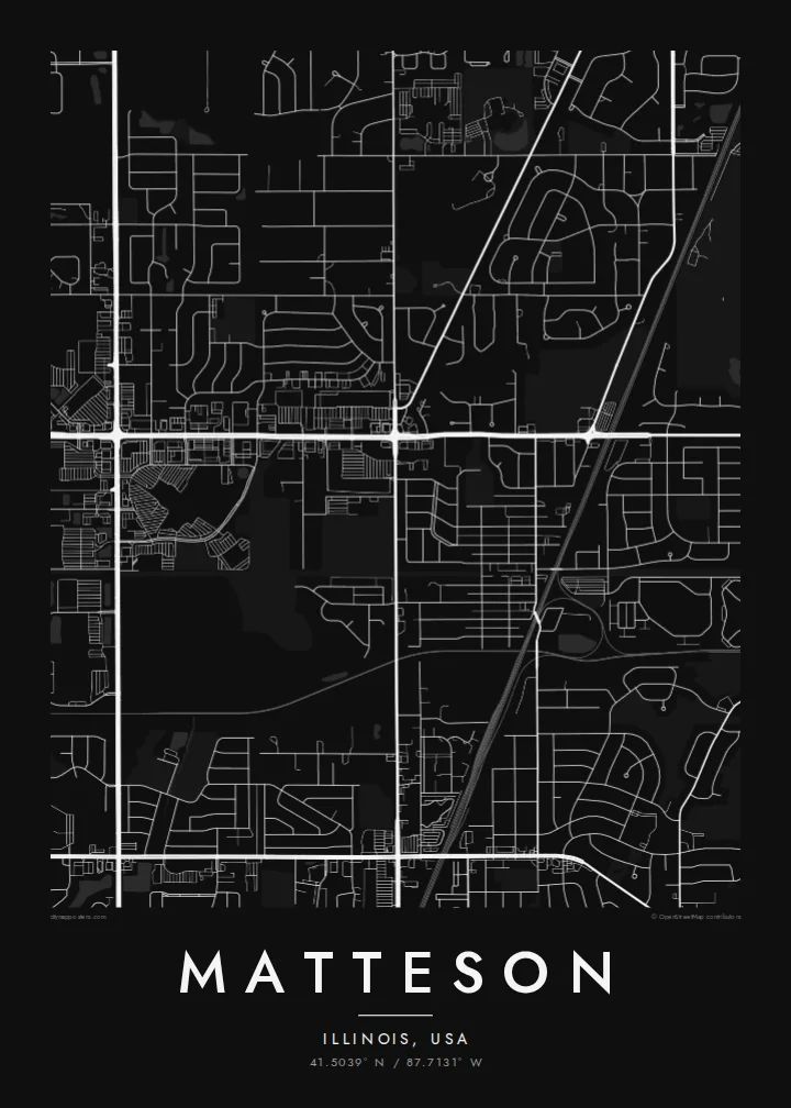
A south-suburban Chicago grid where Interstate 57, the Lincoln Highway and the Metra Electric line cut clean lines across former prairie.



Taone e tahi, lagona e lima
Pa'i se ata ke va'ai ai i luga o te pā. E tutusa te tau o ata uma — i lomiga, fakapipi'i i faleata, pe ko faila HD.
 Pixels mo'i · Faila lomiga 24 × 36″
Manino mo te lomiga
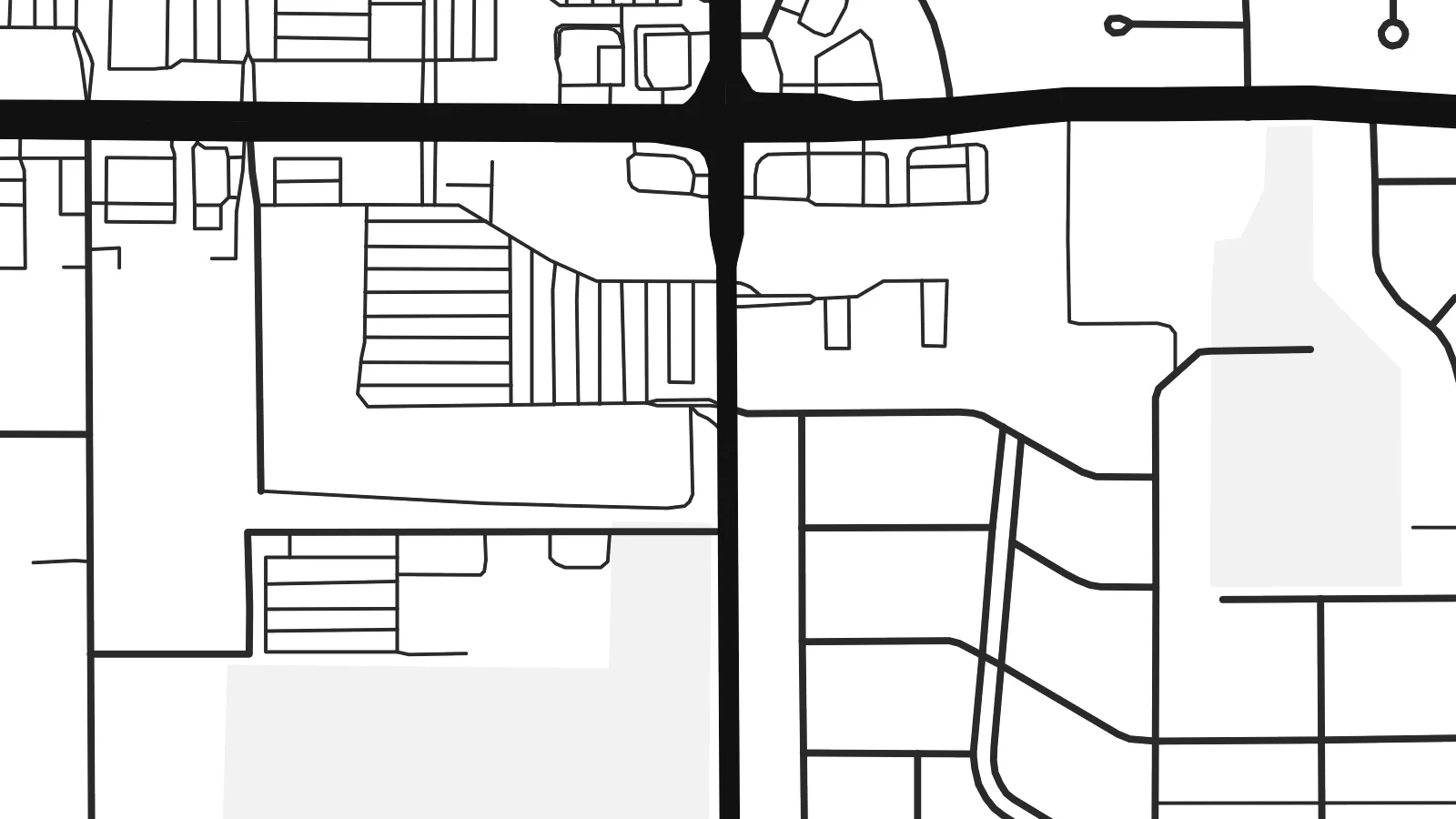
Ko se kupega 100% mai te faila lomiga mo'i. Poster uma — pe lomiina, fakapipi'i i faleata, pe download-ina — e fakaatagia i luga o a matou setula i te 300 DPI, e oo atu ki te 7,200 × 10,800 pixels, ina ia mautinoa e ma'ai pea auala tuai foki i luga o se lomiga 24 × 36″.
I luga o te pa


Te mape
Matteson sits on the flat land south of Chicago, where the old prairie was divided into survey-mile squares long before the houses arrived. From above, that pattern is still easy to read. Section-line roads run straight north–south and east–west, and the residential streets inside each square form the loops, cul-de-sacs and short crescents typical of postwar Illinois suburbs.
The village began as a railroad settlement and is named after Joel Matteson, a governor of Illinois in the 1850s. The rail corridor still runs through town and now carries Metra Electric commuter trains toward downtown Chicago. On the map it reads as a long, unbroken line, and most streets meet it at right angles instead of crossing it at random.
Two major roads frame the picture. Interstate 57 runs north–south through the village with its interchange ramps, and US 30, the historic Lincoln Highway, runs east–west along one of the country's earliest coast-to-coast routes. A Matteson map poster shows where a transcontinental road, a commuter railway and quiet residential blocks meet, all in one orderly composition.
US 30 crosses the village east to west along the route of the Lincoln Highway, the early twentieth-century road linking New York and San Francisco. On the poster it is one of the longest straight lines.
The interstate runs north–south through the village. Its interchange ramps are the most curved, sculptural shapes on an otherwise rectilinear map.
Between the section-line roads, subdivisions use curving drives and cul-de-sacs. Each square mile gets its own pattern of rounded lines inside a rigid outer frame.
Fai mo koe
Fakaopoopo he aho, he igoa pe he upu a koe, hui te faiga, te lahi pe te tūlaga.
Ko te va'aiga e leai se totogi e maualalo tona resolution ma iai se fakailoga vai. E fakaatagia lomiga ma faila HD i te 300 DPI, e oo atu ki te 7,200 × 10,800 px, e aunoa ma se fakailoga vai.
Aiheā Matteson
For people who grew up in the south suburbs or rode the Metra from here, the map is a quiet record of daily routes: the station, the highway ramps, the street where the family house stood. It suits a hallway, a home office or a first apartment in the city.
You can set your own title, subtitle and coordinates line, for example a family name or a move-in date, and choose Classic black & white, Noir, Paper, Blueprint or Sand. The $9 digital download includes six print sizes as 300 DPI PNG and PDF files. Printed and framed versions ship from partners in 30+ countries.
Oka te poster Matteson| Lahi o te lomiga | Manino | Faila |
|---|---|---|
| 30 × 40 cm11.8 × 15.7″ | 3,543 × 4,724 px | PNG · PDF |
| 29.7 × 42 cm (A3)11.7 × 16.5″ | 3,508 × 4,961 px | PNG · PDF |
| 42 × 59.4 cm (A2)16.5 × 23.4″ | 4,961 × 7,016 px | PNG · PDF |
| 45.7 × 61 cm18 × 24″ | 5,400 × 7,200 px | PNG · PDF |
| 50 × 70 cm19.7 × 27.6″ | 5,906 × 8,268 px | PNG · PDF |
| 61 × 91.4 cm24 × 36″ | 7,200 × 10,800 px | PNG · PDF |
Mo te fakatatau, ko te fakaakoakoga e hē totogi e 900 px te lautele, e ihi te fakailoga ma mo te lau komipiuta. Ko nā faila HD e oko ki te 8× te manino i itū taki tahi ma e lomia lelei i te lahi kātoa o te pōhita.
Filifili se ata i te pito i luga o te itulau, ona filifili lea o te Poster Lomiina — se lapoa ma, ka manako ai koe, se faleata — pe ko Faila HD Fakaonaonaina. E tasi te laasaga o te ōkaina, ma ka fakafou loa lau itulau ōkaina pe a mae'a te totogi.
E lomiina i luga o se pepa matte kaliki maualuga e 200 gsm, i se tasi o ni lapoa e ono, mai le 30 × 40 cm ki te 24 × 36″. E kamata te tau o poster lomiina mai le $39, aofia ai te uta.
Ioe. Filifili se faleata lakau malō i te lanu uli, tea, oki masani pe lakau pouli. E aumai fakatasi mo se tioata e le gagamu ma ua sauni ke tautau. E kamata te tau o poster fakapipi'i i se faleata mai le $99, aofia ai te uta.
E tuku uma te uta ki fenua e 60+. Ko te pepa takitasi e lomi e te tasi o a matou paaga lomi i fenua e 30+, ka tae mai i aso galue e 3–7. E mafai ke e maimoa ki te tulaga mo te tulitaki i lalo o Taku Fakatonuga. E lauiti nei fenua e 2–5 wiki, ka ko nei fenua e le o tuku atu ai, e fakamatala atu e te weepisi i mua o te totogi.
Auina mai se ata pikitia i loto o te 14 aso mai te taimi na oo mai ai, ka toe lomiina e matou e leai se totogi pe toe totogi atu lau tupe.
Ioe. I te mea fakasa'o i luga o lenei itulau, sui te ulutala, te ulutala lalo ma te laina fakamaoniga tulaga ki so se mea e manako ai koe, ona filifili lea o se ata ma se lapoa. Okaina lomiina, fakapipi'i i faleata, ma fakaonaonaina e fakaaogā uma i tau ata tonu.
Mo le $9 e maua e koe ni faila PNG 300 DPI ma PDF sauni-mo-lomiga i lapoa e ono uma, e aunoa ma se fakailoga vai, ke lomiina i so se mea. E le'i mautinoa? Download muamua se va'aiga fakailoga vai e leai se totogi.
