The Perak River
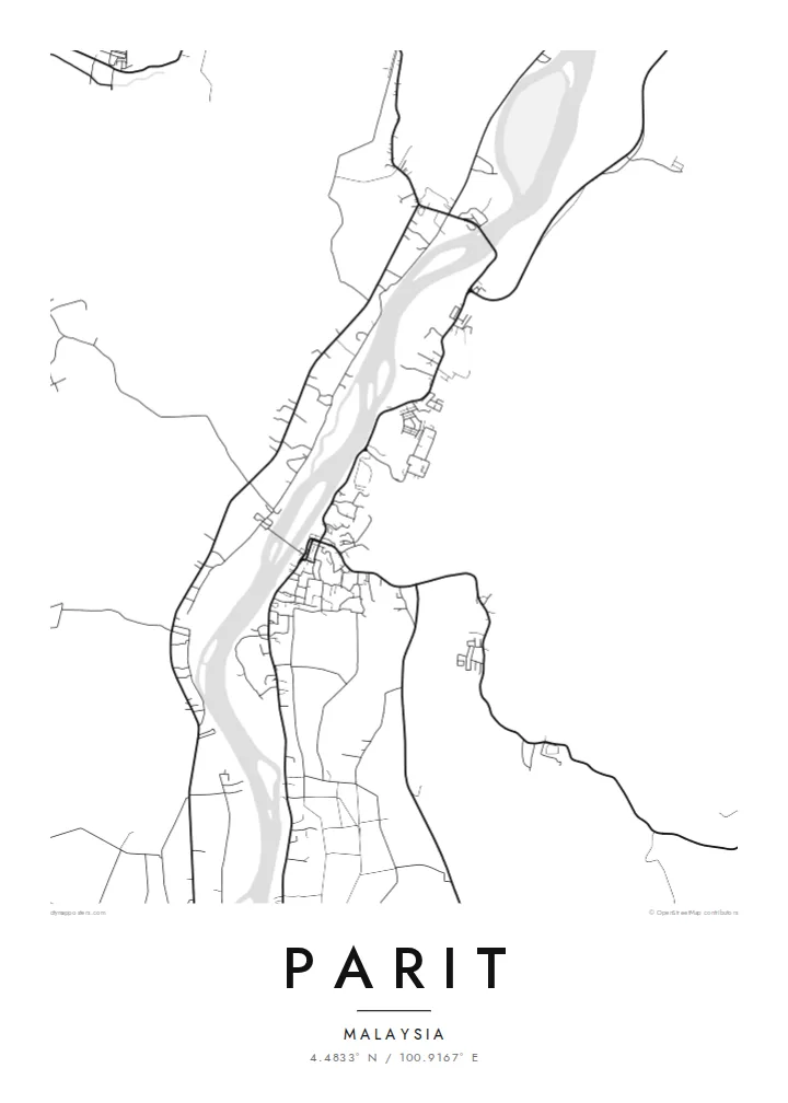
The river is the strongest line on the map. Its broad, winding course sets the direction of the town, and roads and houses keep close to it, following its curves instead of cutting across them.
Pōhita mape faigofie · Malaysia
4.4833° N / 100.9167° E
A riverside town in Perak, its roads following the long bends of the Perak River through farmland and villages


Taone e tahi, lagona e lima
Pa'i se ata ke va'ai ai i luga o te pā. E tutusa te tau o ata uma — i lomiga, fakapipi'i i faleata, pe ko faila HD.
 Pixels mo'i · Faila lomiga 24 × 36″
Manino mo te lomiga
Ko se kupega 100% mai te faila lomiga mo'i. Poster uma — pe lomiina, fakapipi'i i faleata, pe download-ina — e fakaatagia i luga o a matou setula i te 300 DPI, e oo atu ki te 7,200 × 10,800 pixels, ina ia mautinoa e ma'ai pea auala tuai foki i luga o se lomiga 24 × 36″.
I luga o te pa


Te mape
Parit sits in the Perak Tengah district of central Perak, close to the Perak River, one of the longest rivers in Peninsular Malaysia. From above, the town is shaped by that river. Roads and settlements follow its banks instead of forming a planned grid, so the map reads as a string of linear streets and scattered clusters that trace the flow of water through low, open country.
The name itself is a small clue to the landscape. In Malay, parit means a ditch or drainage channel, a common word in a region where water has long been managed across flat agricultural land. On the map, this shows as thin lines of channels and field boundaries between the denser strokes of roads, with kampung houses set in loose rows along the main routes.
A Parit map poster works because of this restraint. There is no dense downtown to fill the frame. Instead, the drawing balances a compact town centre against wide empty spaces, the sweep of the river and the fine tracks that reach out into the countryside. In black and white, the composition feels calm and spacious, closer to a landscape study than a street plan.
The river is the strongest line on the map. Its broad, winding course sets the direction of the town, and roads and houses keep close to it, following its curves instead of cutting across them.
Houses and small lanes line up along the main roads in long, narrow bands, a common pattern in rural Perak. From above these form delicate chains of fine lines rather than tight blocks.
Around the town the map opens into quiet space marked only by field edges, channels and minor tracks. These light, sparse areas give the poster its sense of air and scale.
Fai mo koe
Fakaopoopo he aho, he igoa pe he upu a koe, hui te faiga, te lahi pe te tūlaga.
Ko te va'aiga e leai se totogi e maualalo tona resolution ma iai se fakailoga vai. E fakaatagia lomiga ma faila HD i te 300 DPI, e oo atu ki te 7,200 × 10,800 px, e aunoa ma se fakailoga vai.
Aiheā Parit
For people who grew up in Parit or have family along the Perak River, the map holds a familiar geography: the road to the river, the route home, the spread of the kampung. It is a quiet reminder of a place that is often left out of larger maps and guidebooks.
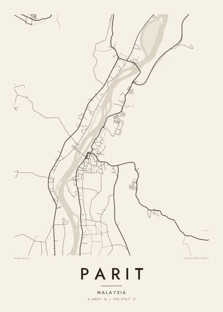
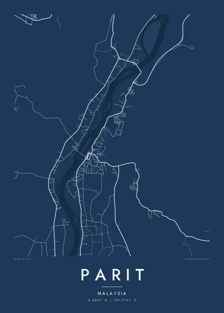
You can personalise the title, subtitle and coordinates line, for example with a family name or a meaningful date, and pick one of five styles: Classic black & white, Noir, Paper, Blueprint or Sand. Download HD files for $9 or order a printed poster, with an optional wooden frame.
Oka te poster Parit| Lahi o te lomiga | Manino | Faila |
|---|---|---|
| 30 × 40 cm (11.8 × 15.7″) | 3,543 × 4,724 px | PNG · PDF |
| 29.7 × 42 cm (A3, 11.7 × 16.5″) | 3,508 × 4,961 px | PNG · PDF |
| 42 × 59.4 cm (A2, 16.5 × 23.4″) | 4,961 × 7,016 px | PNG · PDF |
| 45.7 × 61 cm (18 × 24″) | 5,400 × 7,200 px | PNG · PDF |
| 50 × 70 cm (19.7 × 27.6″) | 5,906 × 8,268 px | PNG · PDF |
| 61 × 91.4 cm (24 × 36″) | 7,200 × 10,800 px | PNG · PDF |
Mo te fakatatau, ko te fakaakoakoga e hē totogi e 900 px te lautele, e ihi te fakailoga ma mo te lau komipiuta. Ko nā faila HD e oko ki te 8× te manino i itū taki tahi ma e lomia lelei i te lahi kātoa o te pōhita.
Filifili se ata i te pito i luga o te itulau, ona filifili lea o te Poster Lomiina — se lapoa ma, ka manako ai koe, se faleata — pe ko Faila HD Fakaonaonaina. E tasi te laasaga o te ōkaina, ma ka fakafou loa lau itulau ōkaina pe a mae'a te totogi.
E lomiina i luga o se pepa matte kaliki maualuga e 200 gsm, i se tasi o ni lapoa e ono, mai le 30 × 40 cm ki te 24 × 36″. E kamata te tau o poster lomiina mai le {printFrom}, aofia ai te uta.
Ioe. Filifili se faleata lakau malō i te lanu uli, tea, oki masani pe lakau pouli. E aumai fakatasi mo se tioata e le gagamu ma ua sauni ke tautau. E kamata te tau o poster fakapipi'i i se faleata mai le {framedFrom}, aofia ai te uta.
E leai se totogi o te ave i te lalolagi katoa. Ko te pepa ata taki tasi e lomi e te hoa lomi e latalata mai ki a matou i atunuku e 30+, ma e masani ona aulia i aso galuega e 3–7. E mafai ke e mulimuli i te tulaga ma te ala o tau poloaiga i lalo o Aku Poloaiga. E nai atunuku e 2–5 vaiaso te umi, ma i te mea e le i ave ai matou, e fakailoa atu e te initeneti a e le i totogi koe.
Auina mai se ata pikitia i loto o te 14 aso mai te taimi na oo mai ai, ka toe lomiina e matou e leai se totogi pe toe totogi atu lau tupe.
Ioe. I te mea fakasa'o i luga o lenei itulau, sui te ulutala, te ulutala lalo ma te laina fakamaoniga tulaga ki so se mea e manako ai koe, ona filifili lea o se ata ma se lapoa. Okaina lomiina, fakapipi'i i faleata, ma fakaonaonaina e fakaaogā uma i tau ata tonu.
Mo le $9 e maua e koe ni faila PNG 300 DPI ma PDF sauni-mo-lomiga i lapoa e ono uma, e aunoa ma se fakailoga vai, ke lomiina i so se mea. E le'i mautinoa? Download muamua se va'aiga fakailoga vai e leai se totogi.
