The Han River
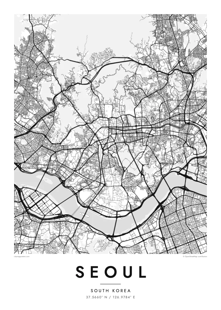
A wide river running across the full width of the city, crossed by a long sequence of bridges. It divides the map into two clear halves and gives the poster its main horizontal line.
Pōhita mape faigofie · South Korea
37.5660° N / 126.9784° E
A mountain-ringed capital divided by the broad Han River, crossed by dozens of bridges from north to south



Taone e tahi, lagona e lima
Pa'i se ata ke va'ai ai i luga o te pā. E tutusa te tau o ata uma — i lomiga, fakapipi'i i faleata, pe ko faila HD.
 Pixels mo'i · Faila lomiga 24 × 36″
Manino mo te lomiga
Ko se kupega 100% mai te faila lomiga mo'i. Poster uma — pe lomiina, fakapipi'i i faleata, pe download-ina — e fakaatagia i luga o a matou setula i te 300 DPI, e oo atu ki te 7,200 × 10,800 pixels, ina ia mautinoa e ma'ai pea auala tuai foki i luga o se lomiga 24 × 36″.
I luga o te pa


Te mape
Seoul is organised by mountains and a river. The Han River crosses the city from east to west in a wide, gentle curve, dividing it into a northern and a southern half connected by more than two dozen bridges. Around the edges, ridges such as Bukhansan in the north and Gwanaksan in the south enclose the basin, and Namsan rises in the middle of the city.
North of the river, the old walled capital lies between Bugaksan and Namsan, with the palaces of Gyeongbokgung and Changdeokgung and the restored Cheonggyecheon stream running east through the centre. South of the river, Gangnam and its neighbours were developed from the 1970s on a far more regular grid of wide avenues and large blocks. Yeouido, an island in the Han, holds the National Assembly and a cluster of towers.
Sections of the Joseon-era city wall still run along the ridges around the old centre, and Changdeokgung Palace is a UNESCO World Heritage Site. Seoul hosted the Summer Olympics in 1988. A Seoul map poster shows how the city has fitted itself between mountains and river, with palace quarters and newer grids on either side of the Han.
A wide river running across the full width of the city, crossed by a long sequence of bridges. It divides the map into two clear halves and gives the poster its main horizontal line.
A flat island in the Han, home to the National Assembly, financial towers and riverside parks. Its compact, elongated shape stands out clearly in the middle of the river.
Namsan, topped by N Seoul Tower, rises as an open wooded mass south of the palace district, while the old walled city fills the valley between it and the northern ridges.
Fai mo koe
Fakaopoopo he aho, he igoa pe he upu a koe, hui te faiga, te lahi pe te tūlaga.
Ko te va'aiga e leai se totogi e maualalo tona resolution ma iai se fakailoga vai. E fakaatagia lomiga ma faila HD i te 300 DPI, e oo atu ki te 7,200 × 10,800 px, e aunoa ma se fakailoga vai.
Aiheā Seoul
Seoul suits people who have lived on one side of the Han and crossed it every day, as well as travellers who remember the view from Namsan. The river and mountains give the map a balanced, spacious composition that sits comfortably in almost any room.
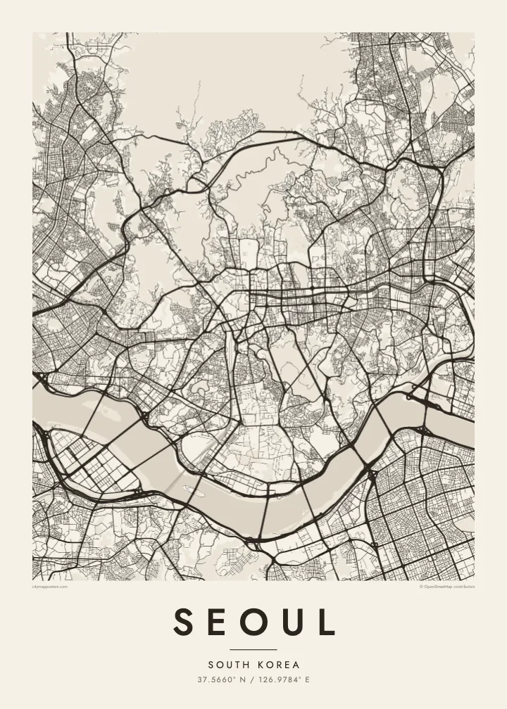
Personalise the title and subtitle with a district, a name or a date, and edit the coordinates line to mark a precise place. The poster is available in Classic black & white, Noir, Paper, Blueprint and Sand, as digital files or printed and framed.
Oka te poster Seoul| Lahi o te lomiga | Manino | Faila |
|---|---|---|
| 30 × 40 cm11.8 × 15.7″ | 3,543 × 4,724 px | PNG · PDF |
| 29.7 × 42 cm (A3)11.7 × 16.5″ | 3,508 × 4,961 px | PNG · PDF |
| 42 × 59.4 cm (A2)16.5 × 23.4″ | 4,961 × 7,016 px | PNG · PDF |
| 45.7 × 61 cm18 × 24″ | 5,400 × 7,200 px | PNG · PDF |
| 50 × 70 cm19.7 × 27.6″ | 5,906 × 8,268 px | PNG · PDF |
| 61 × 91.4 cm24 × 36″ | 7,200 × 10,800 px | PNG · PDF |
Mo te fakatatau, ko te fakaakoakoga e hē totogi e 900 px te lautele, e ihi te fakailoga ma mo te lau komipiuta. Ko nā faila HD e oko ki te 8× te manino i itū taki tahi ma e lomia lelei i te lahi kātoa o te pōhita.
Filifili se ata i te pito i luga o te itulau, ona filifili lea o te Poster Lomiina — se lapoa ma, ka manako ai koe, se faleata — pe ko Faila HD Fakaonaonaina. E tasi te laasaga o te ōkaina, ma ka fakafou loa lau itulau ōkaina pe a mae'a te totogi.
E lomiina i luga o se pepa matte kaliki maualuga e 200 gsm, i se tasi o ni lapoa e ono, mai le 30 × 40 cm ki te 24 × 36″. E kamata te tau o poster lomiina mai le $39, aofia ai te uta.
Ioe. Filifili se faleata lakau malō i te lanu uli, tea, oki masani pe lakau pouli. E aumai fakatasi mo se tioata e le gagamu ma ua sauni ke tautau. E kamata te tau o poster fakapipi'i i se faleata mai le $99, aofia ai te uta.
E leai se totogi o te ave i te lalolagi katoa. Ko te pepa ata taki tasi e lomi e te hoa lomi e latalata mai ki a matou i atunuku e 30+, ma e masani ona aulia i aso galuega e 3–7. E mafai ke e mulimuli i te tulaga ma te ala o tau poloaiga i lalo o Aku Poloaiga. E nai atunuku e 2–5 vaiaso te umi, ma i te mea e le i ave ai matou, e fakailoa atu e te initeneti a e le i totogi koe.
Auina mai se ata pikitia i loto o te 14 aso mai te taimi na oo mai ai, ka toe lomiina e matou e leai se totogi pe toe totogi atu lau tupe.
Ioe. I te mea fakasa'o i luga o lenei itulau, sui te ulutala, te ulutala lalo ma te laina fakamaoniga tulaga ki so se mea e manako ai koe, ona filifili lea o se ata ma se lapoa. Okaina lomiina, fakapipi'i i faleata, ma fakaonaonaina e fakaaogā uma i tau ata tonu.
Mo le $9 e maua e koe ni faila PNG 300 DPI ma PDF sauni-mo-lomiga i lapoa e ono uma, e aunoa ma se fakailoga vai, ke lomiina i so se mea. E le'i mautinoa? Download muamua se va'aiga fakailoga vai e leai se totogi.
