Confluence of rivers
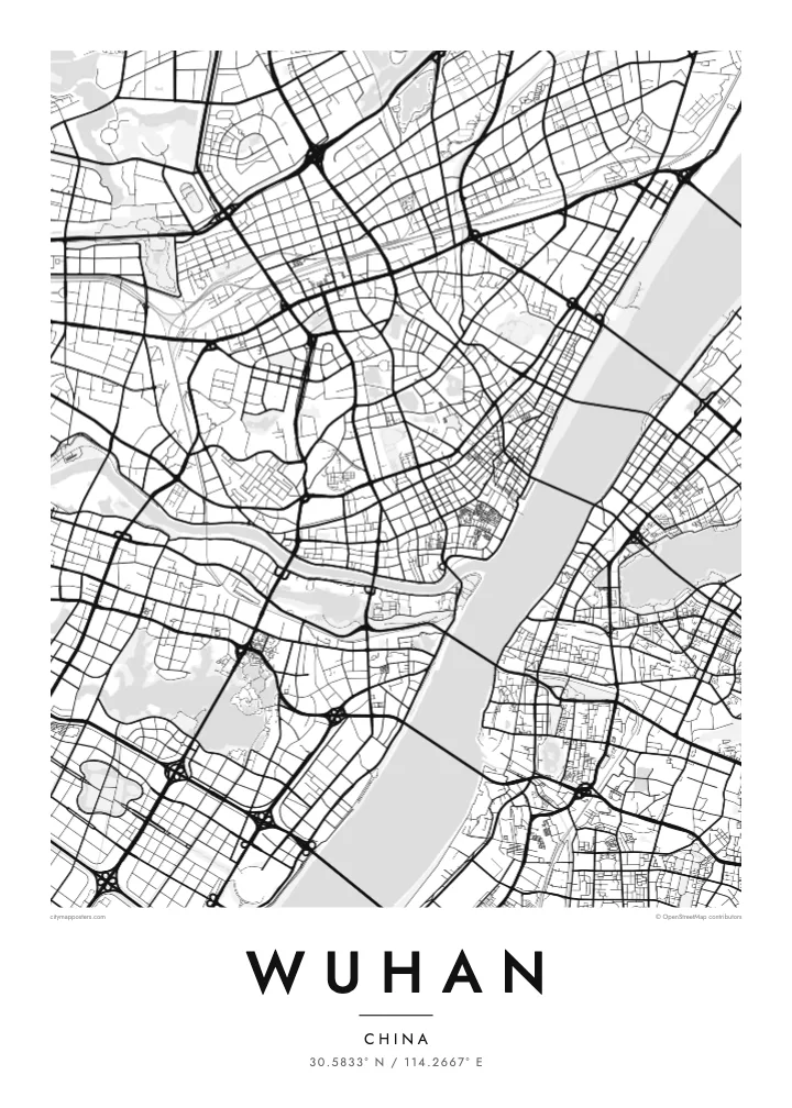
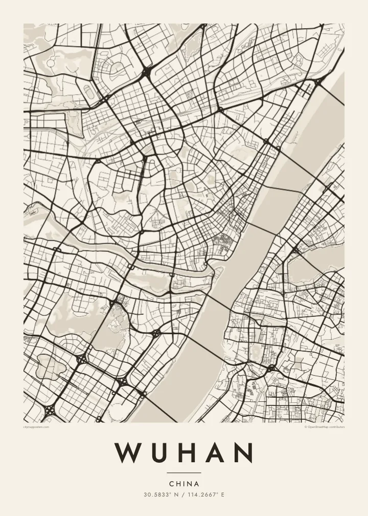
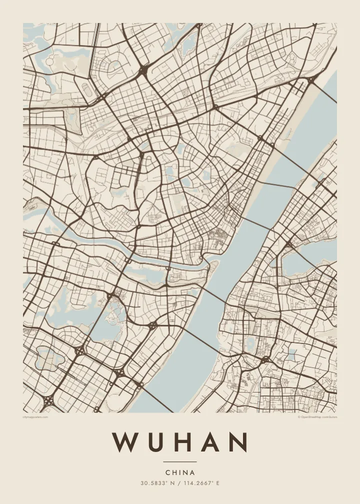
The narrow Han River joins the broad Yangtze at the heart of the city, dividing the plan into three clear sections and giving Wuhan its recognisable Y-shaped outline.
Pōhita mape faigofie · China
30.5833° N / 114.2667° E
Three historic towns divided by the Yangtze and Han rivers, set among dozens of lakes on a wide plain


Taone e tahi, lagona e lima
Pa'i se ata ke va'ai ai i luga o te pā. E tutusa te tau o ata uma — i lomiga, fakapipi'i i faleata, pe ko faila HD.
 Pixels mo'i · Faila lomiga 24 × 36″
Manino mo te lomiga
Ko se kupega 100% mai te faila lomiga mo'i. Poster uma — pe lomiina, fakapipi'i i faleata, pe download-ina — e fakaatagia i luga o a matou setula i te 300 DPI, e oo atu ki te 7,200 × 10,800 pixels, ina ia mautinoa e ma'ai pea auala tuai foki i luga o se lomiga 24 × 36″.
I luga o te pa


Te mape
Wuhan is formed by a meeting of rivers. The Han River flows into the Yangtze in the middle of the city, and the two waterways divide it into three historic parts: Hankou to the north-west, Hanyang to the south-west and Wuchang on the eastern bank. On a map, this Y-shaped junction is unmistakable, with bridges linking each piece to the others.
Water continues beyond the rivers. Wuhan is scattered with lakes, the best known being East Lake, whose irregular shoreline spreads across the eastern districts beside Wuhan University. Hankou keeps a denser grid, including streets of the former concessions near the riverbank, while Hanyang and Wuchang are marked by Turtle Hill and Snake Hill, which face each other across the Yangtze.
The Wuhan Yangtze River Bridge, opened in 1957, was the first bridge built across the Yangtze, and it runs between those two hills. The Yellow Crane Tower, a landmark rebuilt many times over the centuries, stands on Snake Hill beside it. A Wuhan map poster shows a city where almost every journey across town involves crossing water.
The narrow Han River joins the broad Yangtze at the heart of the city, dividing the plan into three clear sections and giving Wuhan its recognisable Y-shaped outline.
A large lake with a deeply indented shoreline in Wuchang, surrounded by parkland, causeways and university campuses. It forms one of the biggest open shapes on the eastern side of the map.
A series of bridges crosses the Yangtze within the city, starting with the 1957 bridge between Turtle Hill and Snake Hill. They appear as spaced lines spanning the widest stretch of water.
Fai mo koe
Fakaopoopo he aho, he igoa pe he upu a koe, hui te faiga, te lahi pe te tūlaga.
Ko te va'aiga e leai se totogi e maualalo tona resolution ma iai se fakailoga vai. E fakaatagia lomiga ma faila HD i te 300 DPI, e oo atu ki te 7,200 × 10,800 px, e aunoa ma se fakailoga vai.
Aiheā Wuhan
Wuhan’s map carries meaning for graduates of its many universities, families from Hankou or Wuchang, and anyone who has watched the Yangtze from the old bridge. The rivers and lakes give it a spacious, balanced composition that stays clear at every print size.
Choose a title and subtitle, perhaps a campus, a neighbourhood or a year, and set the coordinates line. Then pick one of five styles, Classic black & white, Noir, Paper, Blueprint or Sand, as instant HD files or a printed poster with an optional wooden frame.
Oka te poster Wuhan| Lahi o te lomiga | Manino | Faila |
|---|---|---|
| 30 × 40 cm (11.8 × 15.7″) | 3,543 × 4,724 px | PNG · PDF |
| 29.7 × 42 cm (A3, 11.7 × 16.5″) | 3,508 × 4,961 px | PNG · PDF |
| 42 × 59.4 cm (A2, 16.5 × 23.4″) | 4,961 × 7,016 px | PNG · PDF |
| 45.7 × 61 cm (18 × 24″) | 5,400 × 7,200 px | PNG · PDF |
| 50 × 70 cm (19.7 × 27.6″) | 5,906 × 8,268 px | PNG · PDF |
| 61 × 91.4 cm (24 × 36″) | 7,200 × 10,800 px | PNG · PDF |
Mo te fakatatau, ko te fakaakoakoga e hē totogi e 900 px te lautele, e ihi te fakailoga ma mo te lau komipiuta. Ko nā faila HD e oko ki te 8× te manino i itū taki tahi ma e lomia lelei i te lahi kātoa o te pōhita.
Filifili se ata i te pito i luga o te itulau, ona filifili lea o te Poster Lomiina — se lapoa ma, ka manako ai koe, se faleata — pe ko Faila HD Fakaonaonaina. E tasi te laasaga o te ōkaina, ma ka fakafou loa lau itulau ōkaina pe a mae'a te totogi.
E lomiina i luga o se pepa matte kaliki maualuga e 200 gsm, i se tasi o ni lapoa e ono, mai le 30 × 40 cm ki te 24 × 36″. E kamata te tau o poster lomiina mai le $39, aofia ai te uta.
Ioe. Filifili se faleata lakau malō i te lanu uli, tea, oki masani pe lakau pouli. E aumai fakatasi mo se tioata e le gagamu ma ua sauni ke tautau. E kamata te tau o poster fakapipi'i i se faleata mai le $99, aofia ai te uta.
E leai se totogi o te ave i te lalolagi katoa. Ko te pepa ata taki tasi e lomi e te hoa lomi e latalata mai ki a matou i atunuku e 30+, ma e masani ona aulia i aso galuega e 3–7. E mafai ke e mulimuli i te tulaga ma te ala o tau poloaiga i lalo o Aku Poloaiga. E nai atunuku e 2–5 vaiaso te umi, ma i te mea e le i ave ai matou, e fakailoa atu e te initeneti a e le i totogi koe.
Auina mai se ata pikitia i loto o te 14 aso mai te taimi na oo mai ai, ka toe lomiina e matou e leai se totogi pe toe totogi atu lau tupe.
Ioe. I te mea fakasa'o i luga o lenei itulau, sui te ulutala, te ulutala lalo ma te laina fakamaoniga tulaga ki so se mea e manako ai koe, ona filifili lea o se ata ma se lapoa. Okaina lomiina, fakapipi'i i faleata, ma fakaonaonaina e fakaaogā uma i tau ata tonu.
Mo le $9 e maua e koe ni faila PNG 300 DPI ma PDF sauni-mo-lomiga i lapoa e ono uma, e aunoa ma se fakailoga vai, ke lomiina i so se mea. E le'i mautinoa? Download muamua se va'aiga fakailoga vai e leai se totogi.
Latalata
