Durme river bend
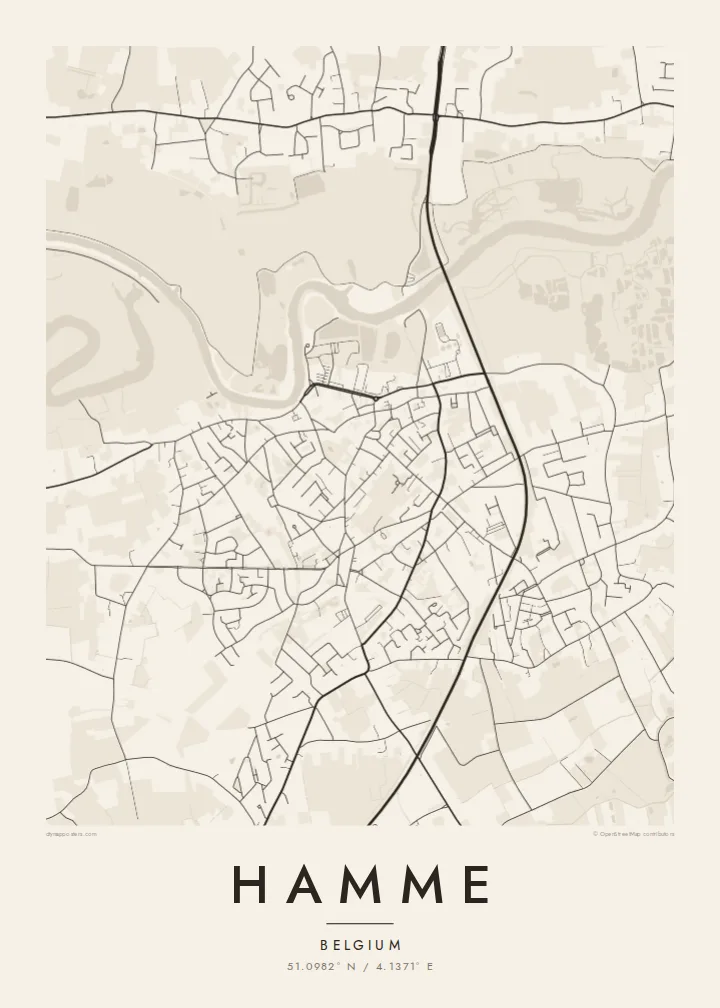
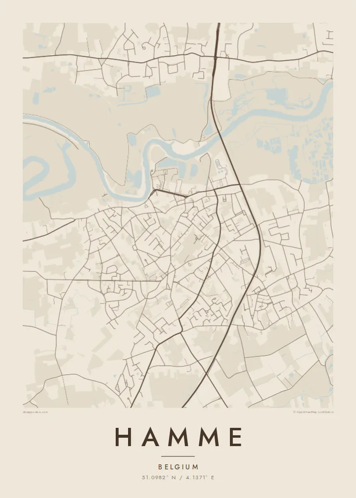
The tidal Durme loops past the town, its meanders drawn as wide curves that anchor the whole composition and set the northern edge of the centre.
Pōsitā mape sitaila faingofua · Pelesiume
51.0982° N / 4.1371° E
A Flemish town tucked into a bend of the tidal Durme, with river meadows, dikes and polders framing its compact streets.



Kolo ʻe taha, ongoʻi ʻe nima
Tuki ha sitaile ke sio ai 'i ho holisi. 'Oku tatau pē 'a e totongi 'o e sitaile kotoa pē — tā pepa, fa'o, pe ko e fa'ile HD.
 Pika mo'oni · fa'ile tā 24 × 36″
Mahino ke paaki
Ko ha konga 100% eni mei he fa'ile tā mo'oni. Ko e posita kotoa pē — tā pepa, fa'o, pe download — 'oku ngaohi 'i he'emau sāvā 'i he 300 DPI, 'o a'u ki he 7,200 × 10,800 pika, koe'uhi ke mahino lelei 'a e ngaahi hala si'isi'i taha 'i ha tā 24 × 36″.
'I he pā


Ko e mape
Hamme lies in East Flanders, on the lower Durme, a tidal river that joins the Scheldt close by. The map is defined by water: the curving Durme to one side, the broader Scheldt along the edge of the municipality, and the flat marshland and meadows between them. The town centre sits on slightly higher ground, its streets converging on a traditional Flemish market square.
Around the centre, residential streets spread in a loose pattern typical of Flanders, with ribbon development along older roads and farmland still visible in between. Toward the river the built-up area stops abruptly at dikes and wetlands, and small villages such as Moerzeke belong to the municipality on the Scheldt side.
A Hamme map poster turns this landscape into a strong graphic contrast. The rivers appear as bold, sweeping curves, the marshes as open space, and the town as a dense, well-defined cluster. It is a map where the tide, rather than any grid, decides the shape of the place.
The tidal Durme loops past the town, its meanders drawn as wide curves that anchor the whole composition and set the northern edge of the centre.
Low meadows, dikes and wetlands line the Scheldt and Durme, leaving large quiet spaces on the map between the river and the houses.
Beyond the centre, houses follow old roads in long lines, a typical Flemish pattern that connects Hamme to its surrounding villages and hamlets.
Ke ʻaʻau pē
Tānaki ha ʻaho, ha hingoa pe ha laine ʻaʻau, pea liliu ʻa e sitaila, saisi pe tuʻunga.
Ko e sio muʻa ta'etotongi 'oku ma'ulalo hono lelei pea 'oku ai hano fakaʻilonga vai. Ko e ngaahi tā mo e fa'ile HD 'oku ngaohi 'i he 300 DPI, 'o a'u ki he 7,200 × 10,800 px, ta'e ha fakaʻilonga vai.
Ko e hā ʻa Hamme
People who walked the Durme dikes, grew up near the market square or cycled through the polders will recognise this map immediately. It is a fitting gift for anyone with roots in the Waasland, and its river curves make it an elegant wall piece.
Personalise the title, subtitle and coordinates, perhaps with a family name or a moving date, and choose one of five styles. Blueprint shows the water especially clearly. Files come as 300 DPI PNG and print-ready PDF in six sizes.
'Oda 'a e posita Hamme| Saisi paaki | Tuʻunga mahino | Ngaahi faile |
|---|---|---|
| 30 × 40 cm (11.8 × 15.7″) | 3,543 × 4,724 px | PNG · PDF |
| 29.7 × 42 cm (A3, 11.7 × 16.5″) | 3,508 × 4,961 px | PNG · PDF |
| 42 × 59.4 cm (A2, 16.5 × 23.4″) | 4,961 × 7,016 px | PNG · PDF |
| 45.7 × 61 cm (18 × 24″) | 5,400 × 7,200 px | PNG · PDF |
| 50 × 70 cm (19.7 × 27.6″) | 5,906 × 8,268 px | PNG · PDF |
| 61 × 91.4 cm (24 × 36″) | 7,200 × 10,800 px | PNG · PDF |
Ke fakafehoanaki, ko e sio fakamuʻa taʻetotongi ʻoku fālahi ʻaki ʻa e 900 px, ʻi ai hono fakaʻilonga-vai pea ki he ngaahi screen pē. ʻOku liunga 8 hono mahino ʻo e ngaahi faile HD ʻi he tafaʻaki kotoa pea ʻoku paaki lelei ʻi he saisi kakato ʻo e pōsitā.
Fili ha sitaile 'i he tumu'aki 'o e peesi, pea fili leva ha Posita Tā — ha lahi pea, kapau 'oku ke sai'ia, ha fa'o — pe ko e ngaahi Fa'ile Digital HD. Ko e Checkout ko e sitepu pē 'e taha, pea 'e fakafo'ou leva ho'o peesi 'oda 'i he taimi 'e a'u ai 'a e totongi.
'Oku tā ia 'i ha pepa matte 200 gsm mo'oni lelei taha, 'i ha taha 'o e ngaahi lahi 'e ono, mei he 30 × 40 cm ki he 24 × 36″. 'Oku kamata 'a e ngaahi posita kuo tā 'i he $39, kuo kau ai 'a e 'ave.
'Io. Fili ha fa'o 'akau mo'oni 'i he 'uli'uli, hina, oki fakanatula pe 'akau fu'u 'uli'uli. 'Oku fakataha mai mo ha sio'ata ta'emafesi pea kuo mateuteu ke tautau. 'Oku kamata 'a e ngaahi posita kuo fa'o 'i he $99, kuo kau ai 'a e 'ave.
Ko e tuku atu ʻoku ʻataʻatā ʻi he māmani kātoa. ʻOku paaki ʻa e tohi ʻuluaki taki taha ʻe he tokotaha paaki ofi taha ʻo hotau kau paaki ʻi he fonua ʻe 30 tupu, pea ʻoku fakaʻaongaʻi ʻo aʻu mai ʻi he ʻaho ngāue ʻe 3–7. ʻE lava ke ke muimui ʻi he tuʻunga mo e fakahinohino ʻi he “Ngaahi Ōtā ʻOku Ou Fai”. ʻOku toe fiha fonua ʻoku fakaʻaongaʻi ʻi he uike ʻe 2–5, pea ʻi he ngaahi fonua ʻoku te teʻeki ke tau fakatau ki ai, ʻoku fakahā atu ʻe he sāite ia ki mu'a ke ke totongi.
'Ave mai ha foto kiate kimautolu 'i he lolotonga 'o e 'aho 'e 14 mei he taimi na'e a'u mai ai, pea te mau toe tā ia ta'etotongi pe toe totongi atu 'a ho'o pa'anga.
'Io. 'I he editor 'i he peesi ni, liliu 'a e kaveinga, 'a e kaveinga si'i mo e laine fakafuofua ki ha me'a pē 'oku ke sai'ia ai, pea fili ha sitaile mo ha lahi. Ko e ngaahi 'oda tā, fa'o mo digital kotoa 'oku ngāue'aki ai pē ho'o fakatātā tofu pē.
'I he totongi 'e $9 'oku ke ma'u ai 'a e ngaahi fa'ile PNG 300 DPI mo e PDF kuo mateuteu ki he tā 'i he lahi 'e ono kotoa, 'ikai ha fakaʻilonga vai, ke tā ai 'i ha feitu'u pē. Te ke kei ta'epau? Download muʻa ha sio muʻa ta'etotongi 'oku ai hano fakaʻilonga vai.
Ofi mai
