Gialos harbour
The main harbour sits at the end of a narrow inlet, with streets climbing the hillsides on both sides. On the poster it forms a dense, amphitheatre-shaped cluster at the island's northern end.
Pōsitā mape sitaila faingofua · Kalisi
36.5904° N / 27.8232° E
A rocky, deeply indented island off the Turkish coast, with a steep amphitheatre harbour and long bays cutting inland.


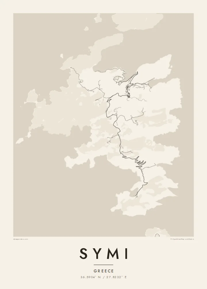

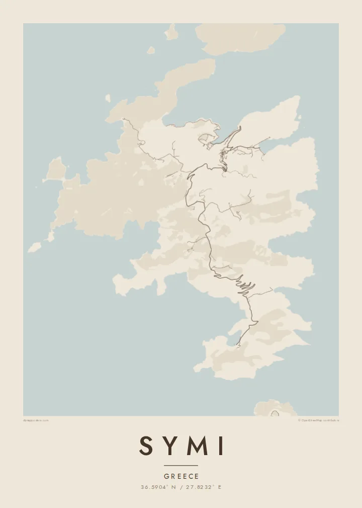
Kolo ʻe taha, ongoʻi ʻe nima
Tuki ha sitaile ke sio ai 'i ho holisi. 'Oku tatau pē 'a e totongi 'o e sitaile kotoa pē — tā pepa, fa'o, pe ko e fa'ile HD.
 Pika mo'oni · fa'ile tā 24 × 36″
Mahino ke paaki
Ko ha konga 100% eni mei he fa'ile tā mo'oni. Ko e posita kotoa pē — tā pepa, fa'o, pe download — 'oku ngaohi 'i he'emau sāvā 'i he 300 DPI, 'o a'u ki he 7,200 × 10,800 pika, koe'uhi ke mahino lelei 'a e ngaahi hala si'isi'i taha 'i ha tā 24 × 36″.
'I he pā


Ko e mape
Symi lies in the Dodecanese, north of Rhodes and just off the Turkish coast. Its outline is intricate: long, narrow bays, headlands and small islets make the coastline far longer than the island's size would suggest. The interior is dry and hilly, crossed by a few roads and many old paths, with most of the population concentrated around the main harbour in the north.
Gialos, the harbour town, rises in tiers around a narrow inlet, its neoclassical houses stacked up the slopes, while the older upper village of Chorio sits above, reached by the Kali Strata, a long stone staircase. The island grew wealthy in the nineteenth century from sponge diving and shipbuilding, and that prosperity is still visible in the architecture around the port.
In the far south, in a deep bay of its own, stands the Monastery of the Archangel Michael at Panormitis, a major pilgrimage site. A Symi map poster shows both ends of the island and everything between: a tight harbour town, a sparse interior and a coastline that folds in on itself again and again.
The main harbour sits at the end of a narrow inlet, with streets climbing the hillsides on both sides. On the poster it forms a dense, amphitheatre-shaped cluster at the island's northern end.
This long stone stairway connects the harbour with the upper village of Chorio. On the map, the steep link between lower and upper town is traced by closely spaced lanes and steps.
A deep, almost enclosed bay in the south shelters the monastery of Panormitis. It is one of the most distinctive notches in a coastline that is full of them.
Ke ʻaʻau pē
Tānaki ha ʻaho, ha hingoa pe ha laine ʻaʻau, pea liliu ʻa e sitaila, saisi pe tuʻunga.
Ko e sio muʻa ta'etotongi 'oku ma'ulalo hono lelei pea 'oku ai hano fakaʻilonga vai. Ko e ngaahi tā mo e fa'ile HD 'oku ngaohi 'i he 300 DPI, 'o a'u ki he 7,200 × 10,800 px, ta'e ha fakaʻilonga vai.
Ko e hā ʻa Symi
Symi is a place many people return to year after year, drawn by its harbour and its quiet southern bays. A map of the island keeps those details close: the stairs, the inlets, the long road over the hills to the monastery.
You can add your own title, a subtitle marking a wedding, an anniversary or a first visit, and a custom coordinates line. Choose from Classic black & white, Noir, Paper, Blueprint or Sand, and order it as a printed poster on matte paper, with or without a wooden frame.
'Oda 'a e posita Symi| Saisi paaki | Tuʻunga mahino | Ngaahi faile |
|---|---|---|
| 30 × 40 cm (11.8 × 15.7″) | 3,543 × 4,724 px | PNG · PDF |
| 29.7 × 42 cm (A3, 11.7 × 16.5″) | 3,508 × 4,961 px | PNG · PDF |
| 42 × 59.4 cm (A2, 16.5 × 23.4″) | 4,961 × 7,016 px | PNG · PDF |
| 45.7 × 61 cm (18 × 24″) | 5,400 × 7,200 px | PNG · PDF |
| 50 × 70 cm (19.7 × 27.6″) | 5,906 × 8,268 px | PNG · PDF |
| 61 × 91.4 cm (24 × 36″) | 7,200 × 10,800 px | PNG · PDF |
Ke fakafehoanaki, ko e sio fakamuʻa taʻetotongi ʻoku fālahi ʻaki ʻa e 900 px, ʻi ai hono fakaʻilonga-vai pea ki he ngaahi screen pē. ʻOku liunga 8 hono mahino ʻo e ngaahi faile HD ʻi he tafaʻaki kotoa pea ʻoku paaki lelei ʻi he saisi kakato ʻo e pōsitā.
Fili ha sitaile 'i he tumu'aki 'o e peesi, pea fili leva ha Posita Tā — ha lahi pea, kapau 'oku ke sai'ia, ha fa'o — pe ko e ngaahi Fa'ile Digital HD. Ko e Checkout ko e sitepu pē 'e taha, pea 'e fakafo'ou leva ho'o peesi 'oda 'i he taimi 'e a'u ai 'a e totongi.
'Oku tā ia 'i ha pepa matte 200 gsm mo'oni lelei taha, 'i ha taha 'o e ngaahi lahi 'e ono, mei he 30 × 40 cm ki he 24 × 36″. 'Oku kamata 'a e ngaahi posita kuo tā 'i he $39, kuo kau ai 'a e 'ave.
'Io. Fili ha fa'o 'akau mo'oni 'i he 'uli'uli, hina, oki fakanatula pe 'akau fu'u 'uli'uli. 'Oku fakataha mai mo ha sio'ata ta'emafesi pea kuo mateuteu ke tautau. 'Oku kamata 'a e ngaahi posita kuo fa'o 'i he $99, kuo kau ai 'a e 'ave.
Ko e tuku atu ʻoku ʻataʻatā ʻi he māmani kātoa. ʻOku paaki ʻa e tohi ʻuluaki taki taha ʻe he tokotaha paaki ofi taha ʻo hotau kau paaki ʻi he fonua ʻe 30 tupu, pea ʻoku fakaʻaongaʻi ʻo aʻu mai ʻi he ʻaho ngāue ʻe 3–7. ʻE lava ke ke muimui ʻi he tuʻunga mo e fakahinohino ʻi he “Ngaahi Ōtā ʻOku Ou Fai”. ʻOku toe fiha fonua ʻoku fakaʻaongaʻi ʻi he uike ʻe 2–5, pea ʻi he ngaahi fonua ʻoku te teʻeki ke tau fakatau ki ai, ʻoku fakahā atu ʻe he sāite ia ki mu'a ke ke totongi.
'Ave mai ha foto kiate kimautolu 'i he lolotonga 'o e 'aho 'e 14 mei he taimi na'e a'u mai ai, pea te mau toe tā ia ta'etotongi pe toe totongi atu 'a ho'o pa'anga.
'Io. 'I he editor 'i he peesi ni, liliu 'a e kaveinga, 'a e kaveinga si'i mo e laine fakafuofua ki ha me'a pē 'oku ke sai'ia ai, pea fili ha sitaile mo ha lahi. Ko e ngaahi 'oda tā, fa'o mo digital kotoa 'oku ngāue'aki ai pē ho'o fakatātā tofu pē.
'I he totongi 'e $9 'oku ke ma'u ai 'a e ngaahi fa'ile PNG 300 DPI mo e PDF kuo mateuteu ki he tā 'i he lahi 'e ono kotoa, 'ikai ha fakaʻilonga vai, ke tā ai 'i ha feitu'u pē. Te ke kei ta'epau? Download muʻa ha sio muʻa ta'etotongi 'oku ai hano fakaʻilonga vai.
Ofi mai
