BR-116 and Trensurb
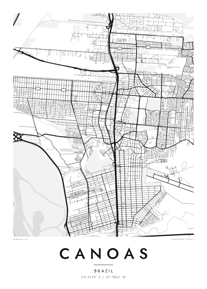
Highway and commuter rail run side by side through the city, a single strong vertical that divides Canoas into eastern and western halves.
Minimalist harita posteri · Brezilya
29.9178° S / 51.1836° W
A flat river-plain city north of Porto Alegre, split by a highway and hemmed in by two rivers.


Tek şehir, beş farklı hava
Bir stili duvarda görmek için dokun. Tüm stiller aynı fiyat — baskı, çerçeveli veya HD dosya olarak.
 Gerçek piksel boyutu · 24 × 36″ baskı dosyası
Baskıda keskin
Bu, gerçek baskı dosyasından %100 oranında bir kırpma. Her poster — baskı, çerçeveli veya indirilen — sunucularımızda 300 DPI'de, 7,200 × 10,800 piksele kadar oluşturulur; böylece en ince sokaklar bile 24 × 36″ baskıda keskin kalır.
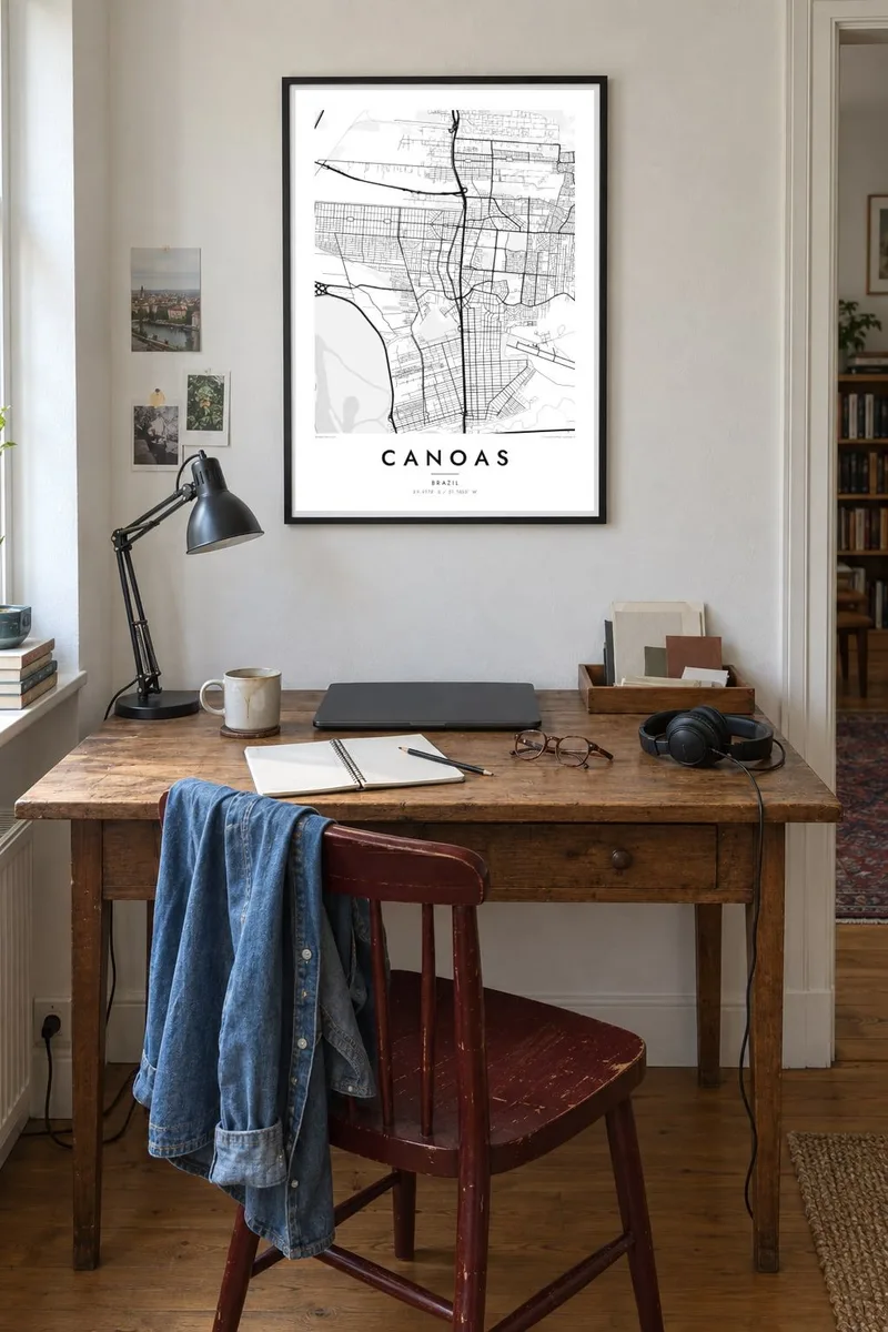
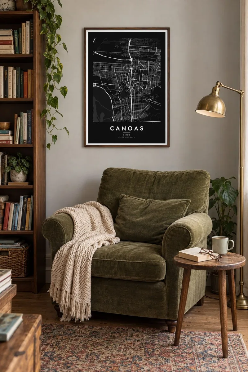
Duvarda

Harita
Canoas sits directly north of Porto Alegre in Rio Grande do Sul, and on a map the two cities almost merge. The key organising line is the BR-116 highway, which runs north to south through the middle of town with the Trensurb commuter rail beside it. Streets branch off this double spine into neighbourhoods of fairly regular blocks on either side.
The terrain is low and level. The Gravataí River bends along the southern edge and the Rio dos Sinos passes to the north, with the broad Guaíba waters not far to the west. Much of the western side lies close to river level, which is why the city was so badly affected in the 2024 Rio Grande do Sul floods, especially in the Mathias Velho district.
A Canoas map poster makes that geography easy to read: the straight transport corridor, the pale wetlands and levee lines, and the large open rectangle of the air force base that interrupts the street grid. It is a map of a working city shaped by roads, rail and water rather than by hills or an old centre.
Highway and commuter rail run side by side through the city, a single strong vertical that divides Canoas into eastern and western halves.
The Canoas air force base occupies a large open block in the urban fabric, a blank space with a runway that stands out clearly in monochrome.
The Gravataí and Sinos rivers and their floodplains surround the city, drawing soft, winding edges around the otherwise orderly street pattern.
Size özel yapın
Bir tarih, bir isim ya da kendi cümlenizi ekleyin; stili, boyutu veya yönü değiştirin.
Ücretsiz önizleme düşük çözünürlüklü ve filigranlıdır. Baskılar ve HD dosyalar filigransız olarak 300 DPI'de, 7,200 × 10,800 px'e kadar oluşturulur.
Neden Canoas
For many families in Canoas, the map carries weight after the floods: a record of the streets and neighbourhoods as they are. Others simply want the place where they grew up, studied or started work, drawn cleanly and without clutter.
Add a personal title, subtitle and coordinates line, then choose from Classic black & white, Noir, Paper, Blueprint or Sand. The $9 digital files cover six print sizes, and printed posters ship from partners in more than 30 countries.
Canoas posterini sipariş et| Baskı boyutu | Çözünürlük | Dosyalar |
|---|---|---|
| 30 × 40 cm (11.8 × 15.7″) | 3,543 × 4,724 px | PNG · PDF |
| 29.7 × 42 cm (A3, 11.7 × 16.5″) | 3,508 × 4,961 px | PNG · PDF |
| 42 × 59.4 cm (A2, 16.5 × 23.4″) | 4,961 × 7,016 px | PNG · PDF |
| 45.7 × 61 cm (18 × 24″) | 5,400 × 7,200 px | PNG · PDF |
| 50 × 70 cm (19.7 × 27.6″) | 5,906 × 8,268 px | PNG · PDF |
| 61 × 91.4 cm (24 × 36″) | 7,200 × 10,800 px | PNG · PDF |
Karşılaştırma için: ücretsiz önizleme 900 piksel genişliğinde, filigranlı ve ekranlar için tasarlanmıştır. HD dosyalar her yönde 8 kata kadar daha yüksek çözünürlüğe sahiptir ve tam poster boyutunda temiz basılır.
Sayfanın üst kısmından bir stil seç, ardından Baskılı Poster — bir boyut ve istersen bir çerçeve — ya da Dijital HD Dosyalar seçeneğini işaretle. Ödeme tek adımda tamamlanır ve ödeme onaylanır onaylanmaz sipariş sayfan güncellenir.
Premium 200 gsm mat kağıda, 30 × 40 cm'den 24 × 36″'a kadar altı boyuttan birinde basılır. Baskılı posterler {printFrom} fiyatından başlar, kargo dahil.
Evet. Siyah, beyaz, doğal meşe veya koyu ahşap renginde masif ahşap bir çerçeve seçebilirsin. Kırılmaz cam ile gelir ve asmaya hazırdır. Çerçeveli posterler {framedFrom} fiyatından başlar, kargo dahil.
Kargo dünya genelinde ücretsizdir. Her poster, 30'dan fazla ülkedeki baskı ortaklarımızdan sana en yakın olanında basılır ve genellikle 3-7 iş günü içinde ulaşır. Durumu ve kargo takibini Siparişlerim bölümünden takip edebilirsin.
Teslimattan itibaren 14 gün içinde bize bir fotoğraf gönder, posterini ücretsiz olarak yeniden basalım ya da ücretini iade edelim.
Evet. Bu sayfadaki düzenleyicide başlığı, alt başlığı ve koordinat satırını istediğin gibi değiştirebilir, bir stil ve boyut seçebilirsin. Baskılı, çerçeveli ve dijital siparişlerin hepsi tam olarak senin tasarımını kullanır.
$9 karşılığında, filigransız, istediğin yerde bastırabileceğin, altı boyutun tamamında 300 DPI PNG ve baskıya hazır PDF dosyaları alırsın. Henüz emin değil misin? Önce ücretsiz, filigranlı bir önizleme indir.
Yakındakiler
