The Congo estuary
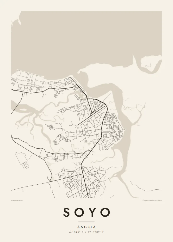
The wide mouth of the Congo dominates the northern side of the map, a broad expanse of water that marks the border between Angola and the Democratic Republic of the Congo.
Minimalist harita posteri · Angola
6.1349° S / 12.3689° E
A low-lying town at the mouth of the Congo River, where estuary channels, mangrove islands and the Atlantic coast converge.



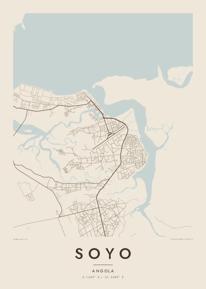
Tek şehir, beş farklı hava
Bir stili duvarda görmek için dokun. Tüm stiller aynı fiyat — baskı, çerçeveli veya HD dosya olarak.
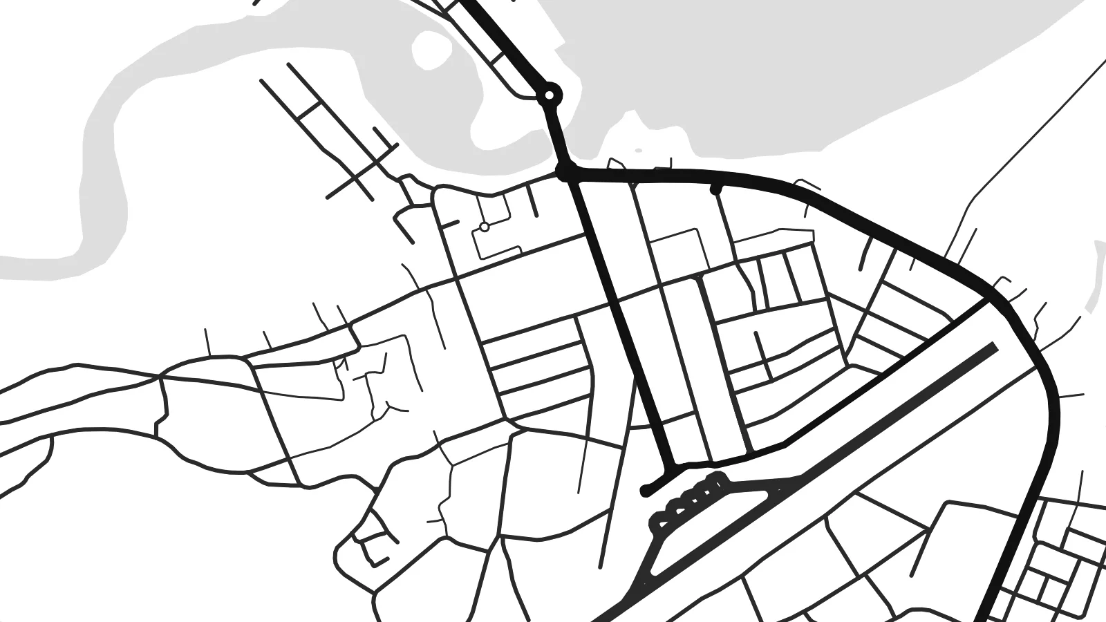 Gerçek piksel boyutu · 24 × 36″ baskı dosyası
Baskıda keskin
Bu, gerçek baskı dosyasından %100 oranında bir kırpma. Her poster — baskı, çerçeveli veya indirilen — sunucularımızda 300 DPI'de, 7,200 × 10,800 piksele kadar oluşturulur; böylece en ince sokaklar bile 24 × 36″ baskıda keskin kalır.
Duvarda


Harita
Soyo stands on the southern bank of the Congo estuary in northern Angola, on flat ground where the river meets the Atlantic. The map here is shaped as much by water as by streets: branching channels, low islands and creeks spread across the landscape, and the town's road network sits on the firmer land between them, reaching toward the shore.
The Congo is one of the world's largest rivers by discharge, and its mouth has long been a landmark for sailors. In 1482 the Portuguese navigator Diogo Cão reached the estuary and set up a stone pillar, or padrão, on the nearby point that still carries the name Ponta do Padrão. The coast around Soyo was part of the historic Kingdom of Kongo.
In recent decades Soyo has grown as a centre of Angola's oil and gas industry, with an LNG plant and industrial installations on the coast. A Soyo map poster sets the town against its setting, where the fine lines of streets give way to the irregular outlines of a vast river mouth on the edge of the ocean.
The wide mouth of the Congo dominates the northern side of the map, a broad expanse of water that marks the border between Angola and the Democratic Republic of the Congo.
Creeks and side channels cut the low ground into irregular shapes, so the land itself looks like a puzzle of islands threaded between the town and the river.
To the west the land meets the open ocean along a fairly straight coast, a clean edge that contrasts with the ragged outlines of the estuary.
Size özel yapın
Bir tarih, bir isim ya da kendi cümlenizi ekleyin; stili, boyutu veya yönü değiştirin.
Ücretsiz önizleme düşük çözünürlüklü ve filigranlıdır. Baskılar ve HD dosyalar filigransız olarak 300 DPI'de, 7,200 × 10,800 px'e kadar oluşturulur.
Neden Soyo
For people who have worked in Soyo's energy sector, or families from Zaire province, this map records a place defined by its river. The interplay of water and land makes an unusual, almost abstract print for a home or office.
Personalise the title and subtitle, perhaps with the years spent there, and choose Classic black & white, Noir, Paper, Blueprint or Sand. The digital download costs $9 and includes six sizes, from 30×40 cm to 24×36″, without a watermark.
Soyo posterini sipariş et| Baskı boyutu | Çözünürlük | Dosyalar |
|---|---|---|
| 30 × 40 cm (11.8 × 15.7″) | 3,543 × 4,724 px | PNG · PDF |
| 29.7 × 42 cm (A3, 11.7 × 16.5″) | 3,508 × 4,961 px | PNG · PDF |
| 42 × 59.4 cm (A2, 16.5 × 23.4″) | 4,961 × 7,016 px | PNG · PDF |
| 45.7 × 61 cm (18 × 24″) | 5,400 × 7,200 px | PNG · PDF |
| 50 × 70 cm (19.7 × 27.6″) | 5,906 × 8,268 px | PNG · PDF |
| 61 × 91.4 cm (24 × 36″) | 7,200 × 10,800 px | PNG · PDF |
Karşılaştırma için: ücretsiz önizleme 900 piksel genişliğinde, filigranlı ve ekranlar için tasarlanmıştır. HD dosyalar her yönde 8 kata kadar daha yüksek çözünürlüğe sahiptir ve tam poster boyutunda temiz basılır.
Sayfanın üst kısmından bir stil seç, ardından Baskılı Poster — bir boyut ve istersen bir çerçeve — ya da Dijital HD Dosyalar seçeneğini işaretle. Ödeme tek adımda tamamlanır ve ödeme onaylanır onaylanmaz sipariş sayfan güncellenir.
Premium 200 gsm mat kağıda, 30 × 40 cm'den 24 × 36″'a kadar altı boyuttan birinde basılır. Baskılı posterler {printFrom} fiyatından başlar, kargo dahil.
Evet. Siyah, beyaz, doğal meşe veya koyu ahşap renginde masif ahşap bir çerçeve seçebilirsin. Kırılmaz cam ile gelir ve asmaya hazırdır. Çerçeveli posterler {framedFrom} fiyatından başlar, kargo dahil.
Kargo dünya genelinde ücretsizdir. Her poster, 30'dan fazla ülkedeki baskı ortaklarımızdan sana en yakın olanında basılır ve genellikle 3-7 iş günü içinde ulaşır. Durumu ve kargo takibini Siparişlerim bölümünden takip edebilirsin.
Teslimattan itibaren 14 gün içinde bize bir fotoğraf gönder, posterini ücretsiz olarak yeniden basalım ya da ücretini iade edelim.
Evet. Bu sayfadaki düzenleyicide başlığı, alt başlığı ve koordinat satırını istediğin gibi değiştirebilir, bir stil ve boyut seçebilirsin. Baskılı, çerçeveli ve dijital siparişlerin hepsi tam olarak senin tasarımını kullanır.
$9 karşılığında, filigransız, istediğin yerde bastırabileceğin, altı boyutun tamamında 300 DPI PNG ve baskıya hazır PDF dosyaları alırsın. Henüz emin değil misin? Önce ücretsiz, filigranlı bir önizleme indir.
Yakındakiler
