Bridge to the mainland
A short road bridge crosses the narrow strait near Privlaka, a single clean line tying the island to Dalmatia and the natural anchor of any composition.
Minimalist harita posteri · Hırvatistan
44.3044° N / 15.0765° E
A low Adriatic island tied to the mainland by one short bridge, its edge scalloped by shallow coves.


Tek şehir, beş farklı hava
Bir stili duvarda görmek için dokun. Tüm stiller aynı fiyat — baskı, çerçeveli veya HD dosya olarak.
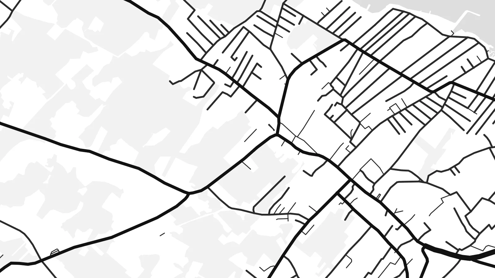 Gerçek piksel boyutu · 24 × 36″ baskı dosyası
Baskıda keskin
Bu, gerçek baskı dosyasından %100 oranında bir kırpma. Her poster — baskı, çerçeveli veya indirilen — sunucularımızda 300 DPI'de, 7,200 × 10,800 piksele kadar oluşturulur; böylece en ince sokaklar bile 24 × 36″ baskıda keskin kalır.
Duvarda


Harita
Vir lies in northern Dalmatia, a short drive north of Zadar, and is one of the few Croatian islands you can reach by car: a bridge crosses the narrow strait from the mainland near Privlaka. From above the island is low and fairly compact, with an indented coastline of shallow bays and small rocky points rather than steep cliffs.
Its map is shaped by summer life. Holiday houses spread across much of the island in a loose, fine-grained pattern of lanes, thickest around Vir village and along the shore, while the higher ground stays more open, with scrub and pasture. Small harbours and swimming coves punctuate the edge all the way round.
A Vir map poster captures a place that feels close to the mainland yet distinctly separate, with the bridge as the single thread joining the two. Around it the channel and the mainland shore frame the composition in open water, and the dense web of lanes gives the island a texture quite unlike its emptier neighbours.
A short road bridge crosses the narrow strait near Privlaka, a single clean line tying the island to Dalmatia and the natural anchor of any composition.
Holiday homes have filled much of the island with small streets and cul-de-sacs, drawn as a fine web that thins out toward the less built-up interior.
Low, rocky points alternate with shallow coves all around the island, giving the outline a soft, scalloped edge that reads beautifully in thin black line.
Size özel yapın
Bir tarih, bir isim ya da kendi cümlenizi ekleyin; stili, boyutu veya yönü değiştirin.
Ücretsiz önizleme düşük çözünürlüklü ve filigranlıdır. Baskılar ve HD dosyalar filigransız olarak 300 DPI'de, 7,200 × 10,800 px'e kadar oluşturulur.
Neden Vir
Vir is a place people return to summer after summer, often to a family house, so the map works as a record of those seasons. It suits anyone who knows the drive over the bridge and the first swim of the year.
Use a family name as the title, add the year you first came or the coordinates of the house, and pick Classic black & white, Noir, Paper, Blueprint or Sand. Sand and Paper echo the pale stone of the Dalmatian coast.
Vir posterini sipariş et| Baskı boyutu | Çözünürlük | Dosyalar |
|---|---|---|
| 30 × 40 cm (11.8 × 15.7″) | 3,543 × 4,724 px | PNG · PDF |
| 29.7 × 42 cm (A3, 11.7 × 16.5″) | 3,508 × 4,961 px | PNG · PDF |
| 42 × 59.4 cm (A2, 16.5 × 23.4″) | 4,961 × 7,016 px | PNG · PDF |
| 45.7 × 61 cm (18 × 24″) | 5,400 × 7,200 px | PNG · PDF |
| 50 × 70 cm (19.7 × 27.6″) | 5,906 × 8,268 px | PNG · PDF |
| 61 × 91.4 cm (24 × 36″) | 7,200 × 10,800 px | PNG · PDF |
Karşılaştırma için: ücretsiz önizleme 900 piksel genişliğinde, filigranlı ve ekranlar için tasarlanmıştır. HD dosyalar her yönde 8 kata kadar daha yüksek çözünürlüğe sahiptir ve tam poster boyutunda temiz basılır.
Sayfanın üst kısmından bir stil seç, ardından Baskılı Poster — bir boyut ve istersen bir çerçeve — ya da Dijital HD Dosyalar seçeneğini işaretle. Ödeme tek adımda tamamlanır ve ödeme onaylanır onaylanmaz sipariş sayfan güncellenir.
Premium 200 gsm mat kağıda, 30 × 40 cm'den 24 × 36″'a kadar altı boyuttan birinde basılır. Baskılı posterler {printFrom} fiyatından başlar, kargo dahil.
Evet. Siyah, beyaz, doğal meşe veya koyu ahşap renginde masif ahşap bir çerçeve seçebilirsin. Kırılmaz cam ile gelir ve asmaya hazırdır. Çerçeveli posterler {framedFrom} fiyatından başlar, kargo dahil.
Kargo dünya genelinde ücretsizdir. Her poster, 30'dan fazla ülkedeki baskı ortaklarımızdan sana en yakın olanında basılır ve genellikle 3-7 iş günü içinde ulaşır. Durumu ve kargo takibini Siparişlerim bölümünden takip edebilirsin.
Teslimattan itibaren 14 gün içinde bize bir fotoğraf gönder, posterini ücretsiz olarak yeniden basalım ya da ücretini iade edelim.
Evet. Bu sayfadaki düzenleyicide başlığı, alt başlığı ve koordinat satırını istediğin gibi değiştirebilir, bir stil ve boyut seçebilirsin. Baskılı, çerçeveli ve dijital siparişlerin hepsi tam olarak senin tasarımını kullanır.
$9 karşılığında, filigransız, istediğin yerde bastırabileceğin, altı boyutun tamamında 300 DPI PNG ve baskıya hazır PDF dosyaları alırsın. Henüz emin değil misin? Önce ücretsiz, filigranlı bir önizleme indir.
Yakındakiler
