Barelang bridges
A chain of six bridges links Batam with the islands to its south, drawn as thin lines hopping across open water between coastlines.
Pousita mape faigofie · Indonesia
1.1494° N / 104.0249° E
An island city facing Singapore across a narrow strait, its coastline ragged with bays, reservoirs and a chain of bridges.


Taone e tasi, lagona e lima
Pau te tapaki o se style ke lavea i luga i te puipui. E tutasi te tau o style takitasi — telotele mo faaki, e aunoa io me fai ki faila HD.
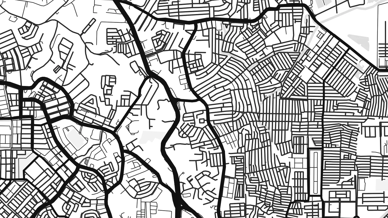 Pixel tonu · faila lolomi 24 × 36″
Manino ki te lomiga
Tenei se 100% mai te faila lolomi tonu. Poster takitasi — telotele, faaki io me download — e faite i luga i a matou server i te 300 DPI, e oko atu ki 7,200 × 10,800 pixel, ko ala e maofio ei mo maiga vaega foliki i luga i te lolomi 24 × 36″.
I te pakitala


Te mape
Batam is an island, and its map is defined by water on every side. The coastline is deeply indented with bays, inlets and mangrove edges, while the interior holds several reservoirs that collect the island's fresh water. Singapore lies only a short distance to the north across the Singapore Strait, reached by frequent ferries from Batam's harbours.
The urban pattern is scattered rather than centralised. Commercial districts such as Nagoya cluster near the northern coast, while industrial estates, housing areas and port facilities spread across the island along a network of main roads. Large blocks mark factories and shipyards, reflecting Batam's development as a free trade and manufacturing zone from the 1970s onward.
A Batam map poster shows a place shaped by its position on one of the world's busiest shipping routes. To the south, the Barelang bridges connect Batam to the neighbouring islands of Rempang and Galang.
A chain of six bridges links Batam with the islands to its south, drawn as thin lines hopping across open water between coastlines.
Several inland reservoirs appear as irregular water shapes within the island, giving the interior its own set of shorelines.
The northern coast faces the Singapore Strait, with ferry terminals and harbour basins marking the closest point to the neighbouring city-state.
Fai ke fakatau ki a koe
Fakaopoopo se aso, se igoa io me se fuaiupu o koe, sui te sitaila, te lasi io me te tuuga.
Te preview fua e maulalo te malamalama kae iai se watermark. Poster telotele mo faila HD e faite i te 300 DPI, e oko atu ki 7,200 × 10,800 px, aunoa mo se watermark.
Kaia a Batam
Batam draws people for work, for weekend trips from Singapore and for its coast. A map of the island records all of that in one clear outline, with the sea giving it a strong frame.
Add your own title, a subtitle for a year or a project, and a coordinates line, then choose between Classic black & white, Noir, Paper, Blueprint and Sand for the finished poster.
Otaina te poster Batam| Lasi o te lomiga | Manino | Faila |
|---|---|---|
| 30 × 40 cm11.8 × 15.7″ | 3,543 × 4,724 px | PNG · PDF |
| 29.7 × 42 cm (A3)11.7 × 16.5″ | 3,508 × 4,961 px | PNG · PDF |
| 42 × 59.4 cm (A2)16.5 × 23.4″ | 4,961 × 7,016 px | PNG · PDF |
| 45.7 × 61 cm18 × 24″ | 5,400 × 7,200 px | PNG · PDF |
| 50 × 70 cm19.7 × 27.6″ | 5,906 × 8,268 px | PNG · PDF |
| 61 × 91.4 cm24 × 36″ | 7,200 × 10,800 px | PNG · PDF |
Ke fakatusa, a te ata fakataitai fua e 900 px te lautele, mo te fakailoga kae mo lau lavea i luga i te komipiuta. A faila HD e oko ki te 8× te manino i itu katoa kae lomi faka‵lei i te lasi katoa o te pousita.
Filifili se style i te pito i luga o te itulau, kae filifili Poster Telotele — se lasi mo se faaki manafai e manako koe — io me Faila Digital HD. E tasi te sitepu mo te checkout, kae ka fakafou te itulau o tau ota i te taimi e mafai ei te totogi.
E telotele i luga o te pepa vali gali 200 gsm i se tasi mai lasi e ono, mai te 30 × 40 cm ki te 24 × 36″. E kamata te poster telotele mai i te $39, kae aofia ei te uta.
Ioe. Filifili se faaki lakau maoli i te kulokula, tea, oak maoli io me lakau pogisa. E oo mai ki tioata e se malepe kae toka ke tautau. E kamata te poster faaki mai i te $99, kae aofia ei te uta.
E tuku fua ki fenua e 60+. A poloaiga taki tasi e ta ne te tauhaga e latalata mai i a matou tauhaga ta i fenua e 30+, kae e masani o aunoa i aso galue e 3–7. E mafai o salasala te tulaga mo te sukesuke i lalo o Aku poloaiga. I nisi fenua e 2–5 vaiaso, kae i mea e seki tuku atu ei matou, e fakailoa atu e te mea tafaoga i mua o te totogi.
Auina mai se ata i loto i te 14 aso mai te taimi e oko ei kae ka toe telotele fua ne matou io me toe totogi atu tau tupe.
Ioe. I te editor i te itulau tenei, sui te ulutala, te ulutala lalo mo te laina o coordinate ki so se mea e manako koe, kae filifili se style mo se lasi. Oga telotele, faaki mo digital e faigana katoa i tau tusiga tonu.
Mo te $9 ka maua ne koe faila PNG 300 DPI mo PDF fakatoka lolomi i lasi e ono katoa, aunoa mo se watermark, ke lolomi i so se koga. E se mautinoa koe? Download muamua se preview fua e iai te watermark.
