Saemangeum Seawall
The immense seawall stretches out from the Buan coast across the sea toward Gunsan. On the poster it is a single, astonishingly straight line through open water.
Pousita mape faigofie · South Korea
35.7281° N / 126.7319° E
A county on the Byeonsan Peninsula, where mountains, tidal flats and the Saemangeum seawall meet the Yellow Sea.

Taone e tasi, lagona e lima
Pau te tapaki o se style ke lavea i luga i te puipui. E tutasi te tau o style takitasi — telotele mo faaki, e aunoa io me fai ki faila HD.
 Pixel tonu · faila lolomi 24 × 36″
Manino ki te lomiga
Tenei se 100% mai te faila lolomi tonu. Poster takitasi — telotele, faaki io me download — e faite i luga i a matou server i te 300 DPI, e oko atu ki 7,200 × 10,800 pixel, ko ala e maofio ei mo maiga vaega foliki i luga i te lolomi 24 × 36″.
I te pakitala
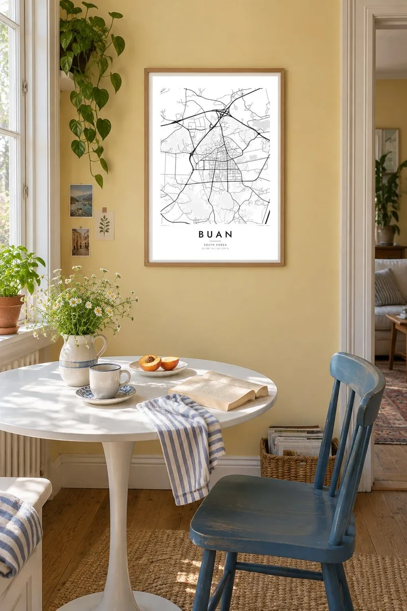


Te mape
Buan County occupies the Byeonsan Peninsula on the west coast of Jeollabuk-do, jutting out into the Yellow Sea. The county town is a compact cluster of streets on flat land near the base of the peninsula, while the west is mountainous and protected as Byeonsanbando National Park. On a map, rugged interior contours contrast with an intricate coastline of coves and tidal flats.
The coast holds some of the area's best-known sights, including the layered sea cliffs of Chaeseokgang, and the mountains shelter Naesosa, a Buddhist temple approached along an avenue of fir trees. To the north, the Saemangeum Seawall, one of the longest in the world, runs out across the sea toward Gunsan, drawing a sharp straight line through the water.
A Buan map poster works on several scales: the small grid of the county town, the winding roads that circle the peninsula and the dramatic seawall slicing across the frame. In black and white, sea and land separate cleanly, which makes a bold print for anyone who has driven the coast road or walked the temple paths.
The immense seawall stretches out from the Buan coast across the sea toward Gunsan. On the poster it is a single, astonishingly straight line through open water.
The peninsula's shore twists into bays, headlands and wide tidal flats, including the stratified cliffs at Chaeseokgang. It gives the map a richly detailed, irregular edge.
The mountainous interior of the peninsula is crossed only by a few winding roads and trails, leading to places such as Naesosa temple. It creates a calm, open area in the design.
Fai ke fakatau ki a koe
Fakaopoopo se aso, se igoa io me se fuaiupu o koe, sui te sitaila, te lasi io me te tuuga.
Te preview fua e maulalo te malamalama kae iai se watermark. Poster telotele mo faila HD e faite i te 300 DPI, e oko atu ki 7,200 × 10,800 px, aunoa mo se watermark.
Kaia a Buan
A map of Buan appeals to people drawn to the Korean west coast: hikers in Byeonsan, travellers who crossed the Saemangeum road, and families from the county town. The mix of engineered and natural lines makes a print with real graphic strength.
Add a title, a subtitle such as a trip date, and a coordinates line, then choose Classic black & white, Noir, Paper, Blueprint or Sand. Preview it free before buying the $9 HD files, which include 300 DPI PNG and print-ready PDF versions for six sizes.
Otaina te poster Buan| Lasi o te lomiga | Manino | Faila |
|---|---|---|
| 30 × 40 cm11.8 × 15.7″ | 3,543 × 4,724 px | PNG · PDF |
| 29.7 × 42 cm (A3)11.7 × 16.5″ | 3,508 × 4,961 px | PNG · PDF |
| 42 × 59.4 cm (A2)16.5 × 23.4″ | 4,961 × 7,016 px | PNG · PDF |
| 45.7 × 61 cm18 × 24″ | 5,400 × 7,200 px | PNG · PDF |
| 50 × 70 cm19.7 × 27.6″ | 5,906 × 8,268 px | PNG · PDF |
| 61 × 91.4 cm24 × 36″ | 7,200 × 10,800 px | PNG · PDF |
Ke fakatusa, a te ata fakataitai fua e 900 px te lautele, mo te fakailoga kae mo lau lavea i luga i te komipiuta. A faila HD e oko ki te 8× te manino i itu katoa kae lomi faka‵lei i te lasi katoa o te pousita.
Filifili se style i te pito i luga o te itulau, kae filifili Poster Telotele — se lasi mo se faaki manafai e manako koe — io me Faila Digital HD. E tasi te sitepu mo te checkout, kae ka fakafou te itulau o tau ota i te taimi e mafai ei te totogi.
E telotele i luga o te pepa vali gali 200 gsm i se tasi mai lasi e ono, mai te 30 × 40 cm ki te 24 × 36″. E kamata te poster telotele mai i te $39, kae aofia ei te uta.
Ioe. Filifili se faaki lakau maoli i te kulokula, tea, oak maoli io me lakau pogisa. E oo mai ki tioata e se malepe kae toka ke tautau. E kamata te poster faaki mai i te $99, kae aofia ei te uta.
E tuku fua ki fenua e 60+. A poloaiga taki tasi e ta ne te tauhaga e latalata mai i a matou tauhaga ta i fenua e 30+, kae e masani o aunoa i aso galue e 3–7. E mafai o salasala te tulaga mo te sukesuke i lalo o Aku poloaiga. I nisi fenua e 2–5 vaiaso, kae i mea e seki tuku atu ei matou, e fakailoa atu e te mea tafaoga i mua o te totogi.
Auina mai se ata i loto i te 14 aso mai te taimi e oko ei kae ka toe telotele fua ne matou io me toe totogi atu tau tupe.
Ioe. I te editor i te itulau tenei, sui te ulutala, te ulutala lalo mo te laina o coordinate ki so se mea e manako koe, kae filifili se style mo se lasi. Oga telotele, faaki mo digital e faigana katoa i tau tusiga tonu.
Mo te $9 ka maua ne koe faila PNG 300 DPI mo PDF fakatoka lolomi i lasi e ono katoa, aunoa mo se watermark, ke lolomi i so se koga. E se mautinoa koe? Download muamua se preview fua e iai te watermark.
