Gezira and Roda
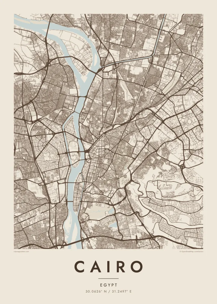
Two elongated islands in the Nile. Gezira holds Zamalek's leafy streets and sports grounds; Roda lies to the south near Old Cairo. Both show clearly as shaped land within the river.
Pousita mape faigofie · Egypt
30.0626° N / 31.2497° E
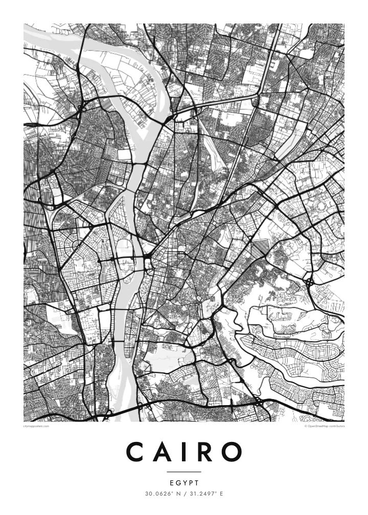
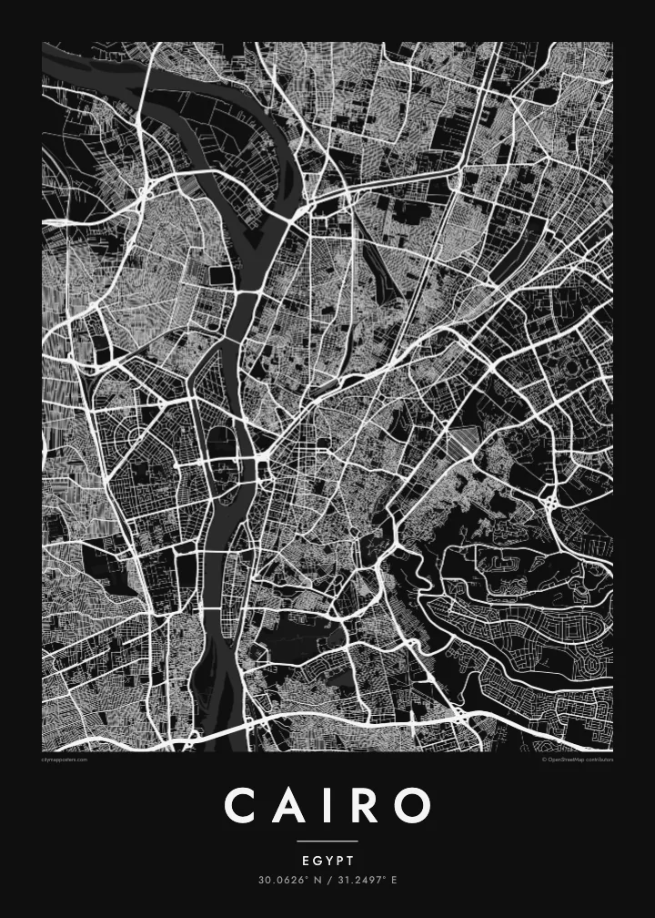
The Nile running north through a vast city, parting around Gezira and Roda, with the old Islamic quarter dense to the east.
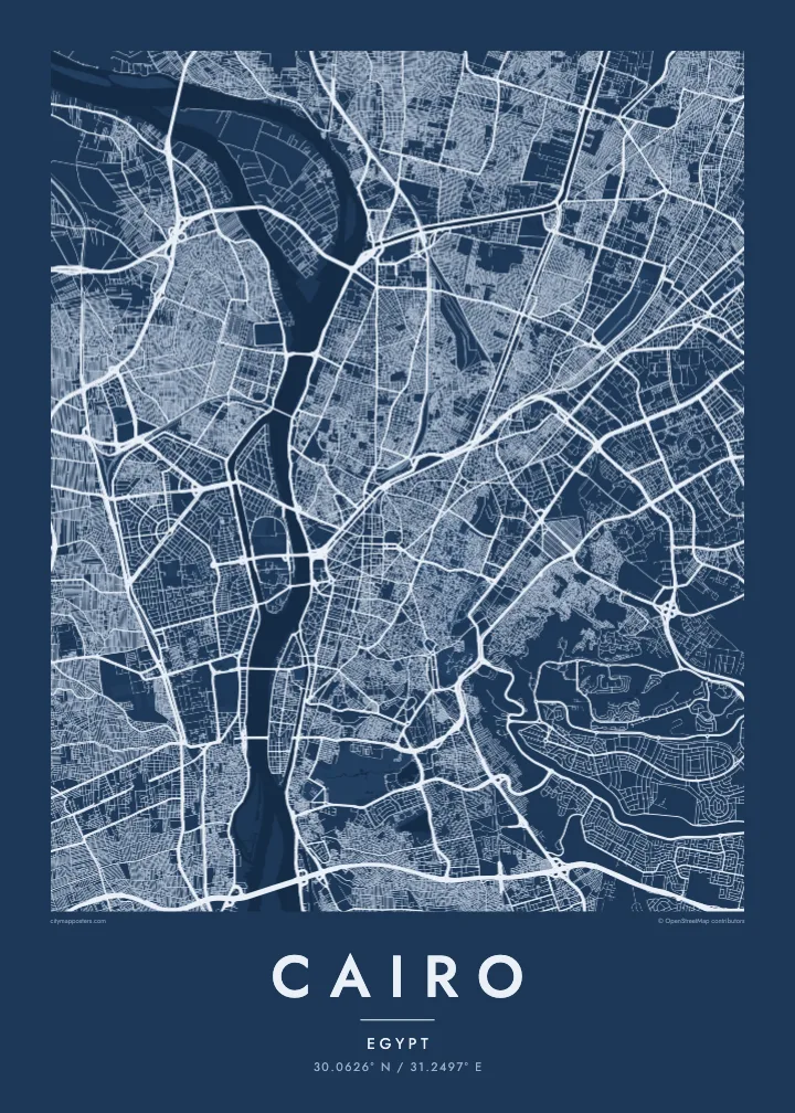
Taone e tasi, lagona e lima
Pau te tapaki o se style ke lavea i luga i te puipui. E tutasi te tau o style takitasi — telotele mo faaki, e aunoa io me fai ki faila HD.
 Pixel tonu · faila lolomi 24 × 36″
Manino ki te lomiga
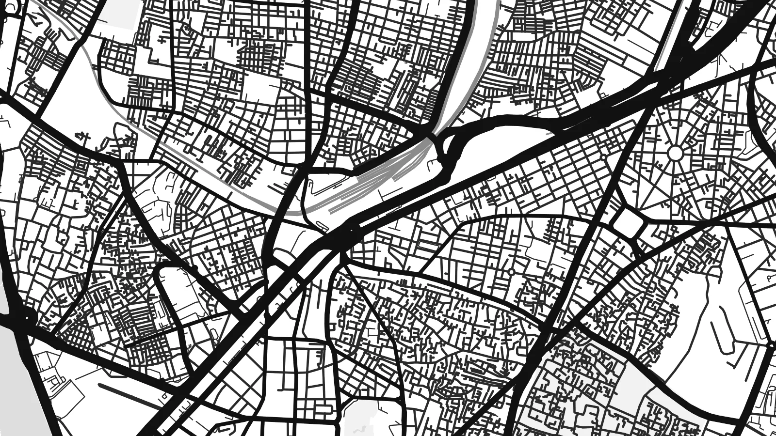
Tenei se 100% mai te faila lolomi tonu. Poster takitasi — telotele, faaki io me download — e faite i luga i a matou server i te 300 DPI, e oko atu ki 7,200 × 10,800 pixel, ko ala e maofio ei mo maiga vaega foliki i luga i te lolomi 24 × 36″.
I te pakitala


Te mape
Cairo is organised around the Nile, which flows north through the city in a broad channel before fanning out into the delta beyond. Two long islands sit in the river: Gezira, home to Zamalek and the Cairo Tower, and Roda further south. Bridges tie them to both banks, so the map reads as a sequence of crossings stacked along the water.
East of the river, downtown was laid out in the nineteenth century under Khedive Ismail, with boulevards and squares arranged in a European manner around what is now Tahrir Square. Further east the streets change completely. Historic Cairo, a UNESCO World Heritage Site, is a close web of lanes, mosques and courtyards leading up to the Citadel on its spur of the Mokattam hills.
The Pyramids of Giza stand on the desert plateau west of the river, at the edge of the wider metropolitan area, and the city's ring road loops out toward them. A Cairo map poster brings these layers together: the medieval street pattern, the planned downtown and the Nile, which in black and white becomes the calm centre of a very dense composition.
Two elongated islands in the Nile. Gezira holds Zamalek's leafy streets and sports grounds; Roda lies to the south near Old Cairo. Both show clearly as shaped land within the river.
The old city east of downtown, with Al-Muizz Street, Khan el-Khalili and hundreds of mosques. Its narrow, irregular lanes form the most intricate texture anywhere on the map.
Saladin's twelfth-century citadel sits on a rise at the foot of the Mokattam hills, where the dense street pattern gives way to open ground and the long ridge to the east.
Fai ke fakatau ki a koe
Fakaopoopo se aso, se igoa io me se fuaiupu o koe, sui te sitaila, te lasi io me te tuuga.
Te preview fua e maulalo te malamalama kae iai se watermark. Poster telotele mo faila HD e faite i te 300 DPI, e oko atu ki 7,200 × 10,800 px, aunoa mo se watermark.
Kaia a Cairo
Cairo is one of those cities that stays with people, whether they grew up in Heliopolis, studied at a university downtown or spent a week between the museums and the old markets. A map of its streets is a quieter reminder than any souvenir.
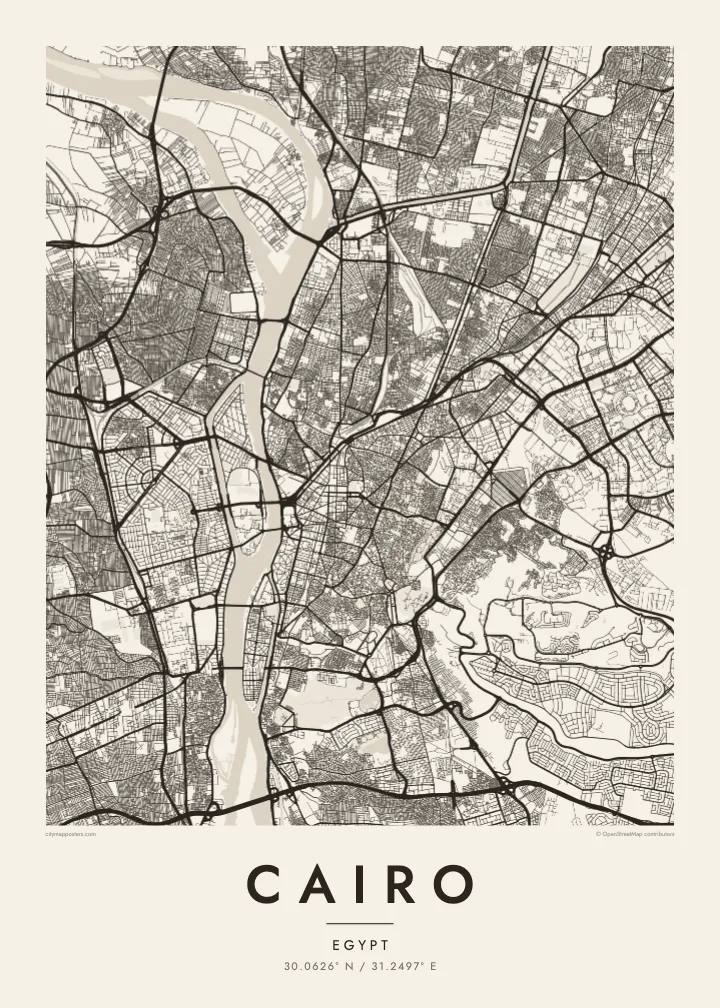
Write your own title and subtitle, keep or edit the coordinates line, and choose one of five styles. Sand suits the desert light, while Noir gives the river strong contrast. Printed posters on matte paper ship from partners in more than 30 countries.
Otaina te poster Cairo| Lasi o te lomiga | Manino | Faila |
|---|---|---|
| 30 × 40 cm11.8 × 15.7″ | 3,543 × 4,724 px | PNG · PDF |
| 29.7 × 42 cm (A3)11.7 × 16.5″ | 3,508 × 4,961 px | PNG · PDF |
| 42 × 59.4 cm (A2)16.5 × 23.4″ | 4,961 × 7,016 px | PNG · PDF |
| 45.7 × 61 cm18 × 24″ | 5,400 × 7,200 px | PNG · PDF |
| 50 × 70 cm19.7 × 27.6″ | 5,906 × 8,268 px | PNG · PDF |
| 61 × 91.4 cm24 × 36″ | 7,200 × 10,800 px | PNG · PDF |
Ke fakatusa, a te ata fakataitai fua e 900 px te lautele, mo te fakailoga kae mo lau lavea i luga i te komipiuta. A faila HD e oko ki te 8× te manino i itu katoa kae lomi faka‵lei i te lasi katoa o te pousita.
Filifili se style i te pito i luga o te itulau, kae filifili Poster Telotele — se lasi mo se faaki manafai e manako koe — io me Faila Digital HD. E tasi te sitepu mo te checkout, kae ka fakafou te itulau o tau ota i te taimi e mafai ei te totogi.
E telotele i luga o te pepa vali gali 200 gsm i se tasi mai lasi e ono, mai te 30 × 40 cm ki te 24 × 36″. E kamata te poster telotele mai i te $39, kae aofia ei te uta.
Ioe. Filifili se faaki lakau maoli i te kulokula, tea, oak maoli io me lakau pogisa. E oo mai ki tioata e se malepe kae toka ke tautau. E kamata te poster faaki mai i te $99, kae aofia ei te uta.
E tuku fua ki fenua e 60+. A poloaiga taki tasi e ta ne te tauhaga e latalata mai i a matou tauhaga ta i fenua e 30+, kae e masani o aunoa i aso galue e 3–7. E mafai o salasala te tulaga mo te sukesuke i lalo o Aku poloaiga. I nisi fenua e 2–5 vaiaso, kae i mea e seki tuku atu ei matou, e fakailoa atu e te mea tafaoga i mua o te totogi.
Auina mai se ata i loto i te 14 aso mai te taimi e oko ei kae ka toe telotele fua ne matou io me toe totogi atu tau tupe.
Ioe. I te editor i te itulau tenei, sui te ulutala, te ulutala lalo mo te laina o coordinate ki so se mea e manako koe, kae filifili se style mo se lasi. Oga telotele, faaki mo digital e faigana katoa i tau tusiga tonu.
Mo te $9 ka maua ne koe faila PNG 300 DPI mo PDF fakatoka lolomi i lasi e ono katoa, aunoa mo se watermark, ke lolomi i so se koga. E se mautinoa koe? Download muamua se preview fua e iai te watermark.
