Mountain spine
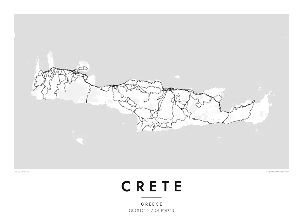
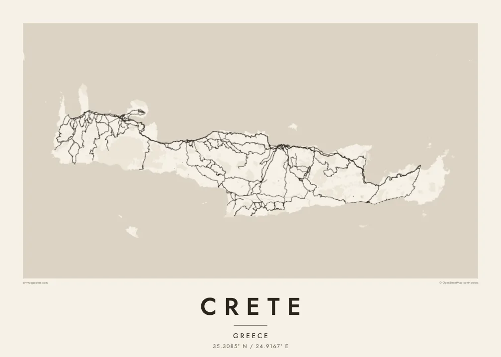
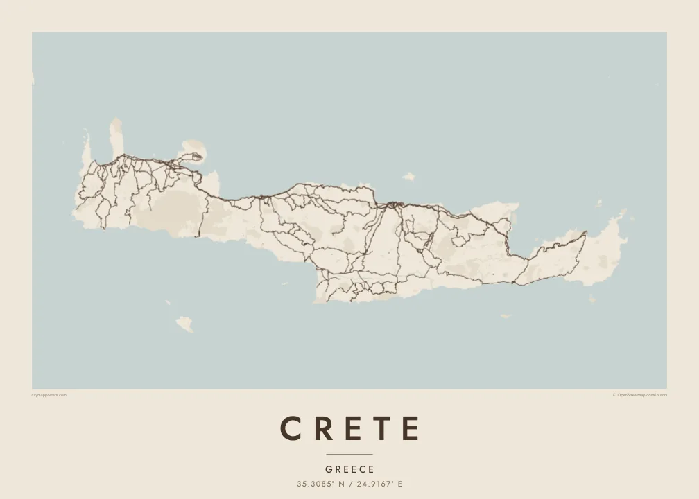
Three ranges run along the island's length and give the interior a sparse, winding road pattern. The poster shows where valleys open and where the mountains leave the map almost empty.
Pousita mape faigofie · Greece
35.3085° N / 24.9167° E
A long, mountain-spined island stretched east to west, with its cities strung along a single northern coastal highway.


Taone e tasi, lagona e lima
Pau te tapaki o se style ke lavea i luga i te puipui. E tutasi te tau o style takitasi — telotele mo faaki, e aunoa io me fai ki faila HD.
 Pixel tonu · faila lolomi 24 × 36″
Manino ki te lomiga
Tenei se 100% mai te faila lolomi tonu. Poster takitasi — telotele, faaki io me download — e faite i luga i a matou server i te 300 DPI, e oko atu ki 7,200 × 10,800 pixel, ko ala e maofio ei mo maiga vaega foliki i luga i te lolomi 24 × 36″.
I te pakitala


Te mape
Crete is the largest Greek island and one of the largest in the Mediterranean, about 260 kilometres from end to end and rarely more than 60 wide. Three mountain ranges form its backbone: the White Mountains in the west, Psiloritis, the ancient Mount Ida, at the centre, and the Dikti range in the east. Between them lie high plateaus, including the enclosed farmland of Lasithi.
Almost every large town sits on the north coast: Chania, Rethymno, Heraklion and Agios Nikolaos, linked by a highway that follows the shore. The south coast is steeper and more broken, with roads that often end at small harbours. On a Crete map poster this imbalance is clear, a dense northern edge of streets and a southern edge of cliffs, gorges and bays.
Crete was the centre of the Minoan civilisation, and the palace of Knossos lies just south of Heraklion. Venetian rule left fortified harbours in Chania and Heraklion that still shape their old towns. In the southwest, the Samaria Gorge cuts through the White Mountains toward the Libyan Sea and is counted among the longest gorges in Europe.
Three ranges run along the island's length and give the interior a sparse, winding road pattern. The poster shows where valleys open and where the mountains leave the map almost empty.
A single highway links the main cities from west to east, and on the poster it reads as one long thread with urban clusters knotted along it at intervals.
At the island's western corners, the Gramvousa peninsula shelters the Balos lagoon and the shallows of Elafonisi fade into sand, adding delicate shoreline detail to the end of the composition.
Fai ke fakatau ki a koe
Fakaopoopo se aso, se igoa io me se fuaiupu o koe, sui te sitaila, te lasi io me te tuuga.
Te preview fua e maulalo te malamalama kae iai se watermark. Poster telotele mo faila HD e faite i te 300 DPI, e oko atu ki 7,200 × 10,800 px, aunoa mo se watermark.
Kaia a Crete
Crete's outline is long and horizontal, which makes it a natural fit for a wide wall above a sofa or a desk. It suits people who spent summers in its villages, families from Chania or Heraklion, and travellers who walked the gorges.
Personalise the title, add a subtitle with a village or a date, and edit the coordinates line. Of the five styles, Blueprint emphasises the road network, Sand and Paper soften the mountains, and Noir and Classic keep it stark. Files cost $9 and include six sizes, or order it printed and framed.
Otaina te poster Crete| Lasi o te lomiga | Manino | Faila |
|---|---|---|
| 30 × 40 cm11.8 × 15.7″ | 3,543 × 4,724 px | PNG · PDF |
| 29.7 × 42 cm (A3)11.7 × 16.5″ | 3,508 × 4,961 px | PNG · PDF |
| 42 × 59.4 cm (A2)16.5 × 23.4″ | 4,961 × 7,016 px | PNG · PDF |
| 45.7 × 61 cm18 × 24″ | 5,400 × 7,200 px | PNG · PDF |
| 50 × 70 cm19.7 × 27.6″ | 5,906 × 8,268 px | PNG · PDF |
| 61 × 91.4 cm24 × 36″ | 7,200 × 10,800 px | PNG · PDF |
Ke fakatusa, a te ata fakataitai fua e 900 px te lautele, mo te fakailoga kae mo lau lavea i luga i te komipiuta. A faila HD e oko ki te 8× te manino i itu katoa kae lomi faka‵lei i te lasi katoa o te pousita.
Filifili se style i te pito i luga o te itulau, kae filifili Poster Telotele — se lasi mo se faaki manafai e manako koe — io me Faila Digital HD. E tasi te sitepu mo te checkout, kae ka fakafou te itulau o tau ota i te taimi e mafai ei te totogi.
E telotele i luga o te pepa vali gali 200 gsm i se tasi mai lasi e ono, mai te 30 × 40 cm ki te 24 × 36″. E kamata te poster telotele mai i te $39, kae aofia ei te uta.
Ioe. Filifili se faaki lakau maoli i te kulokula, tea, oak maoli io me lakau pogisa. E oo mai ki tioata e se malepe kae toka ke tautau. E kamata te poster faaki mai i te $99, kae aofia ei te uta.
E tuku fua ki fenua e 60+. A poloaiga taki tasi e ta ne te tauhaga e latalata mai i a matou tauhaga ta i fenua e 30+, kae e masani o aunoa i aso galue e 3–7. E mafai o salasala te tulaga mo te sukesuke i lalo o Aku poloaiga. I nisi fenua e 2–5 vaiaso, kae i mea e seki tuku atu ei matou, e fakailoa atu e te mea tafaoga i mua o te totogi.
Auina mai se ata i loto i te 14 aso mai te taimi e oko ei kae ka toe telotele fua ne matou io me toe totogi atu tau tupe.
Ioe. I te editor i te itulau tenei, sui te ulutala, te ulutala lalo mo te laina o coordinate ki so se mea e manako koe, kae filifili se style mo se lasi. Oga telotele, faaki mo digital e faigana katoa i tau tusiga tonu.
Mo te $9 ka maua ne koe faila PNG 300 DPI mo PDF fakatoka lolomi i lasi e ono katoa, aunoa mo se watermark, ke lolomi i so se koga. E se mautinoa koe? Download muamua se preview fua e iai te watermark.
