Fernão Dias highway
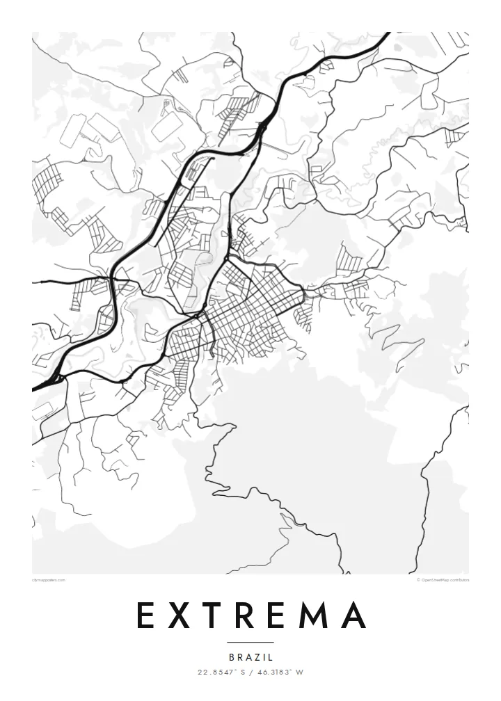
The highway linking São Paulo and Belo Horizonte runs past the town as a bold line, attracting industrial and logistics sites that appear on the map as large, simple blocks.
Pousita mape faigofie · Brazil
22.8547° S / 46.3183° W
A fast-growing town in the Mantiqueira foothills, stretched along the valley and the highway linking São Paulo and Belo Horizonte


Taone e tasi, lagona e lima
Pau te tapaki o se style ke lavea i luga i te puipui. E tutasi te tau o style takitasi — telotele mo faaki, e aunoa io me fai ki faila HD.
 Pixel tonu · faila lolomi 24 × 36″
Manino ki te lomiga
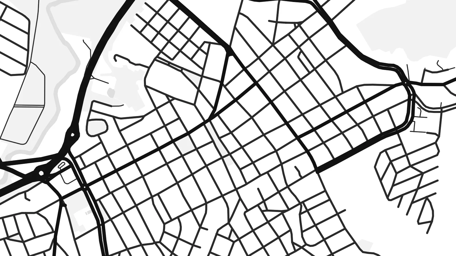
Tenei se 100% mai te faila lolomi tonu. Poster takitasi — telotele, faaki io me download — e faite i luga i a matou server i te 300 DPI, e oko atu ki 7,200 × 10,800 pixel, ko ala e maofio ei mo maiga vaega foliki i luga i te lolomi 24 × 36″.
I te pakitala


Te mape
Extrema sits in the far south of Minas Gerais, right on the border with São Paulo state, and its map follows the valley it occupies. The town centre forms a compact grid near the river, while newer neighbourhoods and industrial areas extend along the Fernão Dias highway. Around it, the hills of the Serra da Mantiqueira rise in folds, crossed by winding rural roads.
Its position on the main highway between São Paulo and Belo Horizonte has turned Extrema into an important logistics and industrial hub, with large warehouses and distribution centres. The municipality is also known for Conservador das Águas, a pioneering programme that pays landowners to protect springs and restore forest, recognised as an early Brazilian example of payment for environmental services.
An Extrema map poster captures a town in two modes: the quiet grid of the older centre and the long, straight line of the highway with the large blocks of warehouses along it. The surrounding hills add soft, winding strokes. The composition shows how geography and infrastructure shaped the town, within sight of the mountains.
The highway linking São Paulo and Belo Horizonte runs past the town as a bold line, attracting industrial and logistics sites that appear on the map as large, simple blocks.
Near the river, the historic centre keeps a small, regular grid of streets, the densest area of the map and the core from which the town expanded.
Surrounding hills are crossed by narrow, curving rural roads that follow the slopes, giving the map soft, organic edges around the urban area.
Fai ke fakatau ki a koe
Fakaopoopo se aso, se igoa io me se fuaiupu o koe, sui te sitaila, te lasi io me te tuuga.
Te preview fua e maulalo te malamalama kae iai se watermark. Poster telotele mo faila HD e faite i te 300 DPI, e oko atu ki 7,200 × 10,800 px, aunoa mo se watermark.
Kaia a Extrema
For people who moved to Extrema for work, or who grew up before it expanded, this map records a town in the middle of change, framed by the hills that have stayed the same.
Choose Classic black & white, Noir, Paper, Blueprint or Sand, and personalise title, subtitle and coordinates. Try the free watermarked preview, then download the full HD files for $9.
Otaina te poster Extrema| Lasi o te lomiga | Manino | Faila |
|---|---|---|
| 30 × 40 cm11.8 × 15.7″ | 3,543 × 4,724 px | PNG · PDF |
| 29.7 × 42 cm (A3)11.7 × 16.5″ | 3,508 × 4,961 px | PNG · PDF |
| 42 × 59.4 cm (A2)16.5 × 23.4″ | 4,961 × 7,016 px | PNG · PDF |
| 45.7 × 61 cm18 × 24″ | 5,400 × 7,200 px | PNG · PDF |
| 50 × 70 cm19.7 × 27.6″ | 5,906 × 8,268 px | PNG · PDF |
| 61 × 91.4 cm24 × 36″ | 7,200 × 10,800 px | PNG · PDF |
Ke fakatusa, a te ata fakataitai fua e 900 px te lautele, mo te fakailoga kae mo lau lavea i luga i te komipiuta. A faila HD e oko ki te 8× te manino i itu katoa kae lomi faka‵lei i te lasi katoa o te pousita.
Filifili se style i te pito i luga o te itulau, kae filifili Poster Telotele — se lasi mo se faaki manafai e manako koe — io me Faila Digital HD. E tasi te sitepu mo te checkout, kae ka fakafou te itulau o tau ota i te taimi e mafai ei te totogi.
E telotele i luga o te pepa vali gali 200 gsm i se tasi mai lasi e ono, mai te 30 × 40 cm ki te 24 × 36″. E kamata te poster telotele mai i te $39, kae aofia ei te uta.
Ioe. Filifili se faaki lakau maoli i te kulokula, tea, oak maoli io me lakau pogisa. E oo mai ki tioata e se malepe kae toka ke tautau. E kamata te poster faaki mai i te $99, kae aofia ei te uta.
E tuku fua ki fenua e 60+. A poloaiga taki tasi e ta ne te tauhaga e latalata mai i a matou tauhaga ta i fenua e 30+, kae e masani o aunoa i aso galue e 3–7. E mafai o salasala te tulaga mo te sukesuke i lalo o Aku poloaiga. I nisi fenua e 2–5 vaiaso, kae i mea e seki tuku atu ei matou, e fakailoa atu e te mea tafaoga i mua o te totogi.
Auina mai se ata i loto i te 14 aso mai te taimi e oko ei kae ka toe telotele fua ne matou io me toe totogi atu tau tupe.
Ioe. I te editor i te itulau tenei, sui te ulutala, te ulutala lalo mo te laina o coordinate ki so se mea e manako koe, kae filifili se style mo se lasi. Oga telotele, faaki mo digital e faigana katoa i tau tusiga tonu.
Mo te $9 ka maua ne koe faila PNG 300 DPI mo PDF fakatoka lolomi i lasi e ono katoa, aunoa mo se watermark, ke lolomi i so se koga. E se mautinoa koe? Download muamua se preview fua e iai te watermark.
