Sagami Bay coast
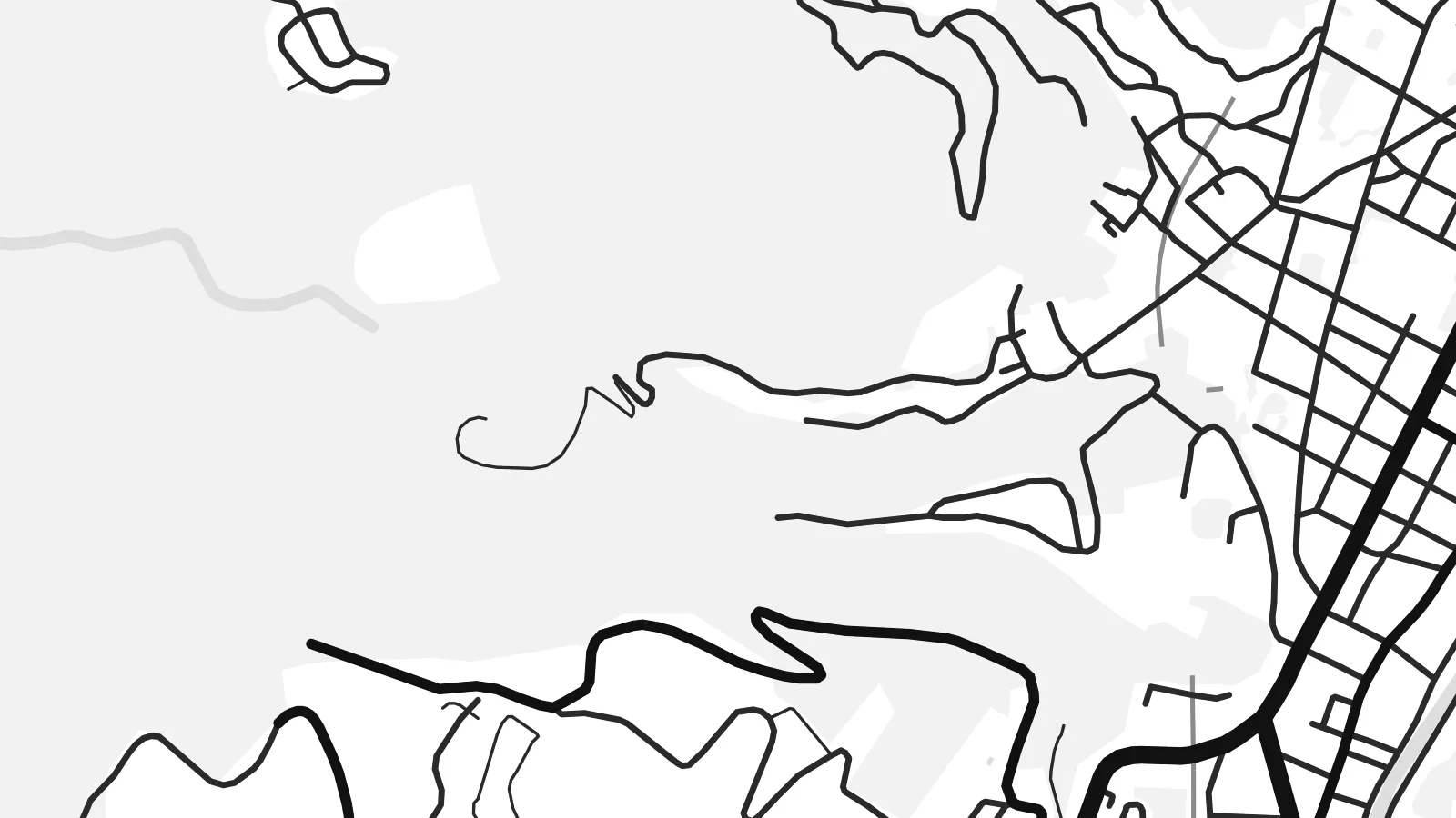
The shoreline curves along the eastern side of the map, with the harbour and beach marking the point where the town meets the open bay.
Pousita mape faigofie · Japan
34.9667° N / 139.0833° E
A hot spring city on the Izu Peninsula, where streets cling to a narrow coast beneath steep volcanic hills.


Taone e tasi, lagona e lima
Pau te tapaki o se style ke lavea i luga i te puipui. E tutasi te tau o style takitasi — telotele mo faaki, e aunoa io me fai ki faila HD.
 Pixel tonu · faila lolomi 24 × 36″
Manino ki te lomiga
Tenei se 100% mai te faila lolomi tonu. Poster takitasi — telotele, faaki io me download — e faite i luga i a matou server i te 300 DPI, e oko atu ki 7,200 × 10,800 pixel, ko ala e maofio ei mo maiga vaega foliki i luga i te lolomi 24 × 36″.
I te pakitala


Te mape
Itō lies on the eastern coast of the Izu Peninsula in Shizuoka, facing Sagami Bay. On a map the city occupies a narrow strip between the sea and the mountains, with streets concentrated along the shore and the valley of the Matsukawa River, and roads climbing into the hills behind.
It is one of Japan's well-known onsen towns, with hot springs and ryokan throughout the city. Itō is also where the English navigator William Adams built Western-style ships for Tokugawa Ieyasu in the early seventeenth century. To the south, the scoria cone of Mount Ōmuro and the rugged Jōgasaki coast mark the volcanic landscape.
An Itō map poster shows the tension between sea and slope. The coastline bends along the bay, the town centre gathers in the lowland by the harbour, and winding roads trace the contours of the hills, giving the design both density and flowing movement.
The shoreline curves along the eastern side of the map, with the harbour and beach marking the point where the town meets the open bay.
The small river runs down through the town centre to the sea, and the densest streets gather along its lower course.
Roads wind up the volcanic slopes behind the town, their curves following the terrain and adding a looser, organic pattern to the print.
Fai ke fakatau ki a koe
Fakaopoopo se aso, se igoa io me se fuaiupu o koe, sui te sitaila, te lasi io me te tuuga.
Te preview fua e maulalo te malamalama kae iai se watermark. Poster telotele mo faila HD e faite i te 300 DPI, e oko atu ki 7,200 × 10,800 px, aunoa mo se watermark.
Kaia a Itō
Itō is a favourite weekend escape from Tokyo, and many people hang its map as a memory of a trip, a honeymoon or a family holiday at a ryokan. The coast and hills make a composition with real depth.
Personalise the title, subtitle and coordinates line, for example with the dates of your stay, and choose one of five styles: Classic black & white, Noir, Paper, Blueprint or Sand. Blueprint suits the coastline, Sand the warm onsen mood.
Otaina te poster Itō| Lasi o te lomiga | Manino | Faila |
|---|---|---|
| 30 × 40 cm11.8 × 15.7″ | 3,543 × 4,724 px | PNG · PDF |
| 29.7 × 42 cm (A3)11.7 × 16.5″ | 3,508 × 4,961 px | PNG · PDF |
| 42 × 59.4 cm (A2)16.5 × 23.4″ | 4,961 × 7,016 px | PNG · PDF |
| 45.7 × 61 cm18 × 24″ | 5,400 × 7,200 px | PNG · PDF |
| 50 × 70 cm19.7 × 27.6″ | 5,906 × 8,268 px | PNG · PDF |
| 61 × 91.4 cm24 × 36″ | 7,200 × 10,800 px | PNG · PDF |
Ke fakatusa, a te ata fakataitai fua e 900 px te lautele, mo te fakailoga kae mo lau lavea i luga i te komipiuta. A faila HD e oko ki te 8× te manino i itu katoa kae lomi faka‵lei i te lasi katoa o te pousita.
Filifili se style i te pito i luga o te itulau, kae filifili Poster Telotele — se lasi mo se faaki manafai e manako koe — io me Faila Digital HD. E tasi te sitepu mo te checkout, kae ka fakafou te itulau o tau ota i te taimi e mafai ei te totogi.
E telotele i luga o te pepa vali gali 200 gsm i se tasi mai lasi e ono, mai te 30 × 40 cm ki te 24 × 36″. E kamata te poster telotele mai i te $39, kae aofia ei te uta.
Ioe. Filifili se faaki lakau maoli i te kulokula, tea, oak maoli io me lakau pogisa. E oo mai ki tioata e se malepe kae toka ke tautau. E kamata te poster faaki mai i te $99, kae aofia ei te uta.
E tuku fua ki fenua e 60+. A poloaiga taki tasi e ta ne te tauhaga e latalata mai i a matou tauhaga ta i fenua e 30+, kae e masani o aunoa i aso galue e 3–7. E mafai o salasala te tulaga mo te sukesuke i lalo o Aku poloaiga. I nisi fenua e 2–5 vaiaso, kae i mea e seki tuku atu ei matou, e fakailoa atu e te mea tafaoga i mua o te totogi.
Auina mai se ata i loto i te 14 aso mai te taimi e oko ei kae ka toe telotele fua ne matou io me toe totogi atu tau tupe.
Ioe. I te editor i te itulau tenei, sui te ulutala, te ulutala lalo mo te laina o coordinate ki so se mea e manako koe, kae filifili se style mo se lasi. Oga telotele, faaki mo digital e faigana katoa i tau tusiga tonu.
Mo te $9 ka maua ne koe faila PNG 300 DPI mo PDF fakatoka lolomi i lasi e ono katoa, aunoa mo se watermark, ke lolomi i so se koga. E se mautinoa koe? Download muamua se preview fua e iai te watermark.
