River confluence
The Gunt meets the Panj at the heart of the town. The two rivers and their valleys give Khorugh its distinctive branching shape.
Pousita mape faigofie · Tajikistan
37.4904° N / 71.5534° E
A mountain town where the Gunt joins the Panj, stretched along narrow valley floors deep in the Pamirs


Taone e tasi, lagona e lima
Pau te tapaki o se style ke lavea i luga i te puipui. E tutasi te tau o style takitasi — telotele mo faaki, e aunoa io me fai ki faila HD.
 Pixel tonu · faila lolomi 24 × 36″
Manino ki te lomiga
Tenei se 100% mai te faila lolomi tonu. Poster takitasi — telotele, faaki io me download — e faite i luga i a matou server i te 300 DPI, e oko atu ki 7,200 × 10,800 pixel, ko ala e maofio ei mo maiga vaega foliki i luga i te lolomi 24 × 36″.
I te pakitala

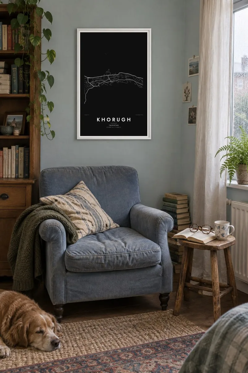
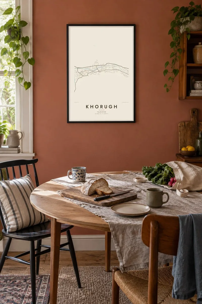
Te mape
Khorugh is the capital of Gorno-Badakhshan, Tajikistan's mountainous eastern region, at an altitude of about 2,200 metres. The town lies where the Gunt River flows into the Panj. The Panj forms the border with Afghanistan, and the Afghan bank is visible directly across the water.
Because steep mountain walls rise on every side, Khorugh cannot spread out. On the map it forms a narrow Y shape, with streets following the two river valleys and meeting at the confluence. The Pamir Highway passes through, and the city park and a botanical garden, one of the highest in the world, add green space above the town.
A Khorugh map poster shows a place defined entirely by its setting. The streets are narrow strips of settlement along two rivers, and the rest of the frame is empty mountainside. In black and white, the water and the valley floors become the entire drawing.
The Gunt meets the Panj at the heart of the town. The two rivers and their valleys give Khorugh its distinctive branching shape.
The Panj runs along the town's edge and marks the frontier with Afghanistan. Settlements on the opposite bank mirror Khorugh across the water.
The road through the Pamirs passes through Khorugh, following the valleys. It is the single strongest line linking the town with the rest of the region.
Fai ke fakatau ki a koe
Fakaopoopo se aso, se igoa io me se fuaiupu o koe, sui te sitaila, te lasi io me te tuuga.
Te preview fua e maulalo te malamalama kae iai se watermark. Poster telotele mo faila HD e faite i te 300 DPI, e oko atu ki 7,200 × 10,800 px, aunoa mo se watermark.
Kaia a Khorugh
The poster suits Pamir travellers, people who have worked or studied in Khorugh, and those with family in Badakhshan. It is a map where the landscape is as present as the streets.
Personalise the title, subtitle and coordinates line, perhaps with a trip date or the name in Cyrillic. Choose from Classic black & white, Noir, Paper, Blueprint and Sand. Noir brings out the dark valley walls.
Otaina te poster Khorugh| Lasi o te lomiga | Manino | Faila |
|---|---|---|
| 30 × 40 cm11.8 × 15.7″ | 3,543 × 4,724 px | PNG · PDF |
| 29.7 × 42 cm (A3)11.7 × 16.5″ | 3,508 × 4,961 px | PNG · PDF |
| 42 × 59.4 cm (A2)16.5 × 23.4″ | 4,961 × 7,016 px | PNG · PDF |
| 45.7 × 61 cm18 × 24″ | 5,400 × 7,200 px | PNG · PDF |
| 50 × 70 cm19.7 × 27.6″ | 5,906 × 8,268 px | PNG · PDF |
| 61 × 91.4 cm24 × 36″ | 7,200 × 10,800 px | PNG · PDF |
Ke fakatusa, a te ata fakataitai fua e 900 px te lautele, mo te fakailoga kae mo lau lavea i luga i te komipiuta. A faila HD e oko ki te 8× te manino i itu katoa kae lomi faka‵lei i te lasi katoa o te pousita.
Filifili se style i te pito i luga o te itulau, kae filifili Poster Telotele — se lasi mo se faaki manafai e manako koe — io me Faila Digital HD. E tasi te sitepu mo te checkout, kae ka fakafou te itulau o tau ota i te taimi e mafai ei te totogi.
E telotele i luga o te pepa vali gali 200 gsm i se tasi mai lasi e ono, mai te 30 × 40 cm ki te 24 × 36″. E kamata te poster telotele mai i te $39, kae aofia ei te uta.
Ioe. Filifili se faaki lakau maoli i te kulokula, tea, oak maoli io me lakau pogisa. E oo mai ki tioata e se malepe kae toka ke tautau. E kamata te poster faaki mai i te $99, kae aofia ei te uta.
E tuku fua ki fenua e 60+. A poloaiga taki tasi e ta ne te tauhaga e latalata mai i a matou tauhaga ta i fenua e 30+, kae e masani o aunoa i aso galue e 3–7. E mafai o salasala te tulaga mo te sukesuke i lalo o Aku poloaiga. I nisi fenua e 2–5 vaiaso, kae i mea e seki tuku atu ei matou, e fakailoa atu e te mea tafaoga i mua o te totogi.
Auina mai se ata i loto i te 14 aso mai te taimi e oko ei kae ka toe telotele fua ne matou io me toe totogi atu tau tupe.
Ioe. I te editor i te itulau tenei, sui te ulutala, te ulutala lalo mo te laina o coordinate ki so se mea e manako koe, kae filifili se style mo se lasi. Oga telotele, faaki mo digital e faigana katoa i tau tusiga tonu.
Mo te $9 ka maua ne koe faila PNG 300 DPI mo PDF fakatoka lolomi i lasi e ono katoa, aunoa mo se watermark, ke lolomi i so se koga. E se mautinoa koe? Download muamua se preview fua e iai te watermark.
