Nkana mining area
Large, irregular industrial areas and mine workings sit next to the city. On the print they appear as bold, unusual shapes among the streets.
Pousita mape faigofie · Zambia
12.8024° S / 28.2132° E
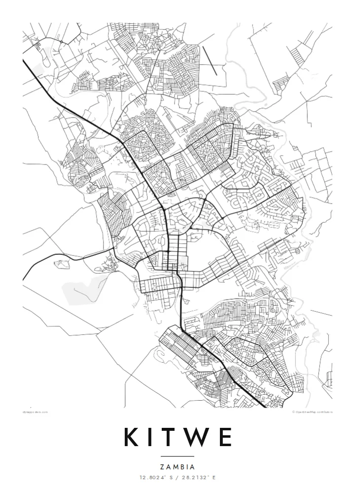
A Copperbelt mining city, with townships spread around the Nkana works and the Kafue River along its western side



Taone e tasi, lagona e lima
Pau te tapaki o se style ke lavea i luga i te puipui. E tutasi te tau o style takitasi — telotele mo faaki, e aunoa io me fai ki faila HD.
 Pixel tonu · faila lolomi 24 × 36″
Manino ki te lomiga
Tenei se 100% mai te faila lolomi tonu. Poster takitasi — telotele, faaki io me download — e faite i luga i a matou server i te 300 DPI, e oko atu ki 7,200 × 10,800 pixel, ko ala e maofio ei mo maiga vaega foliki i luga i te lolomi 24 × 36″.
I te pakitala


Te mape
Kitwe is one of Zambia's largest cities and the main centre of the Copperbelt. It grew around the Nkana copper mine in the early twentieth century, and the mine still shapes its map. Large industrial areas, tailings and plant sit beside the town. Their forms are very different from the residential streets.
The city is divided into distinct townships, each with its own street pattern. Some have curving, planned roads from the colonial and mining-company era, while others are denser and more recent. A compact commercial centre lies in the middle, linked to the townships by a few main roads.
To the west, the Kafue River winds through the landscape, one of Zambia's most important rivers. Kitwe is also home to the Copperbelt University. A Kitwe map poster shows a town whose layout still reflects the industry that built it.
Large, irregular industrial areas and mine workings sit next to the city. On the print they appear as bold, unusual shapes among the streets.
Residential areas form distinct clusters, each with its own pattern of roads. It is a clear record of how the mining town was planned.
The river winds past the city to the west. Its meandering line softens the edge of a map otherwise shaped by industry.
Fai ke fakatau ki a koe
Fakaopoopo se aso, se igoa io me se fuaiupu o koe, sui te sitaila, te lasi io me te tuuga.
Te preview fua e maulalo te malamalama kae iai se watermark. Poster telotele mo faila HD e faite i te 300 DPI, e oko atu ki 7,200 × 10,800 px, aunoa mo se watermark.
Kaia a Kitwe
For families connected to the Copperbelt, Kitwe is where work, school and home meet. A map of its townships and mine is a very personal record of that life, and a strong graphic image too.
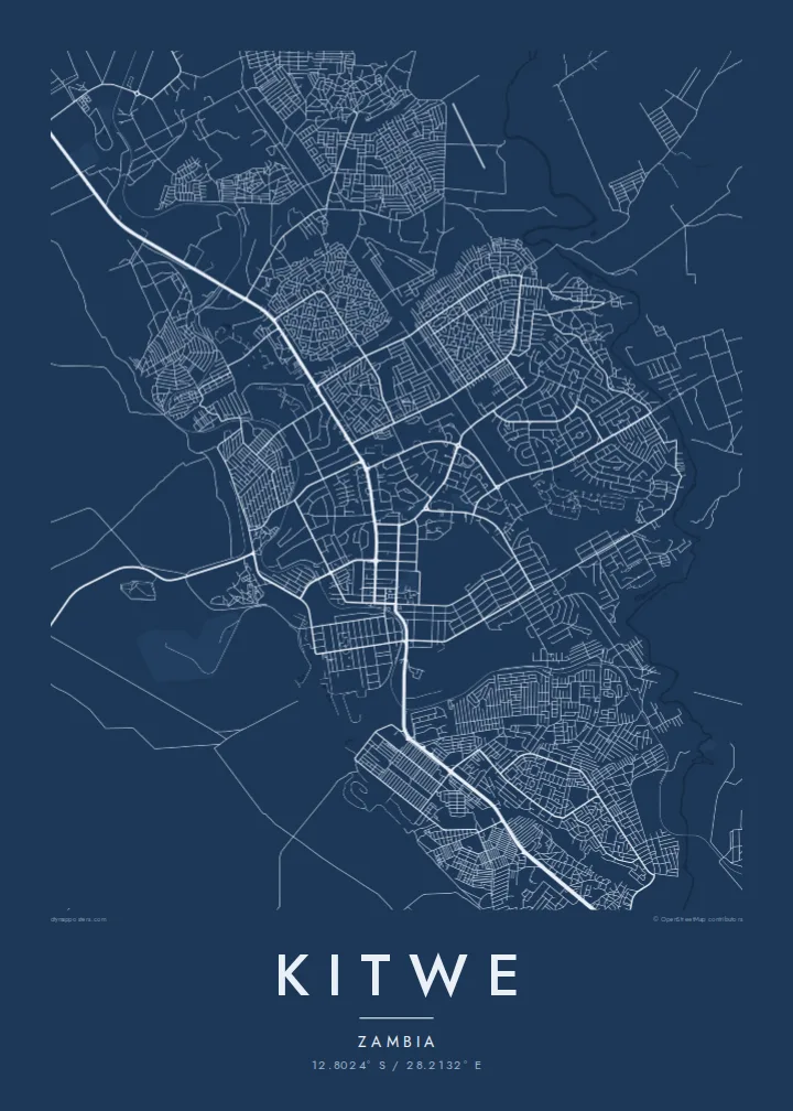
You can add a title, subtitle and coordinates line of your own, such as a township name or a year. The print comes in five styles: Classic black & white, Noir, Paper, Blueprint and Sand.
Otaina te poster Kitwe| Lasi o te lomiga | Manino | Faila |
|---|---|---|
| 30 × 40 cm (11.8 × 15.7″) | 3,543 × 4,724 px | PNG · PDF |
| 29.7 × 42 cm (A3, 11.7 × 16.5″) | 3,508 × 4,961 px | PNG · PDF |
| 42 × 59.4 cm (A2, 16.5 × 23.4″) | 4,961 × 7,016 px | PNG · PDF |
| 45.7 × 61 cm (18 × 24″) | 5,400 × 7,200 px | PNG · PDF |
| 50 × 70 cm (19.7 × 27.6″) | 5,906 × 8,268 px | PNG · PDF |
| 61 × 91.4 cm (24 × 36″) | 7,200 × 10,800 px | PNG · PDF |
Ke fakatusa, a te ata fakataitai fua e 900 px te lautele, mo te fakailoga kae mo lau lavea i luga i te komipiuta. A faila HD e oko ki te 8× te manino i itu katoa kae lomi faka‵lei i te lasi katoa o te pousita.
Filifili se style i te pito i luga o te itulau, kae filifili Poster Telotele — se lasi mo se faaki manafai e manako koe — io me Faila Digital HD. E tasi te sitepu mo te checkout, kae ka fakafou te itulau o tau ota i te taimi e mafai ei te totogi.
E telotele i luga o te pepa vali gali 200 gsm i se tasi mai lasi e ono, mai te 30 × 40 cm ki te 24 × 36″. E kamata te poster telotele mai i te $39, kae aofia ei te uta.
Ioe. Filifili se faaki lakau maoli i te kulokula, tea, oak maoli io me lakau pogisa. E oo mai ki tioata e se malepe kae toka ke tautau. E kamata te poster faaki mai i te $99, kae aofia ei te uta.
E saoloto te ave atu i te lalolagi katoa. Ko poster taki tasi e ta ne te taugasoa ta e ofi mai i fenua e 30+, kae e masani o oko atu i aso galue e 3–7. E mafai o mata ki te tulaga mo te sukesuke i lalo o Aku Poloaiga. E isi fenua e 2–5 vaiaso, kae i mea e seki ave atu ki ei, e fakailoa atu ne te saite i mua o te totogi.
Auina mai se ata i loto i te 14 aso mai te taimi e oko ei kae ka toe telotele fua ne matou io me toe totogi atu tau tupe.
Ioe. I te editor i te itulau tenei, sui te ulutala, te ulutala lalo mo te laina o coordinate ki so se mea e manako koe, kae filifili se style mo se lasi. Oga telotele, faaki mo digital e faigana katoa i tau tusiga tonu.
Mo te $9 ka maua ne koe faila PNG 300 DPI mo PDF fakatoka lolomi i lasi e ono katoa, aunoa mo se watermark, ke lolomi i so se koga. E se mautinoa koe? Download muamua se preview fua e iai te watermark.
