Marine Drive
A long promenade and road tracing the curve of Back Bay from Nariman Point toward Malabar Hill. From above it forms one of the cleanest arcs on any city map.
Pousita mape faigofie · India
19.0728° N / 72.8826° E
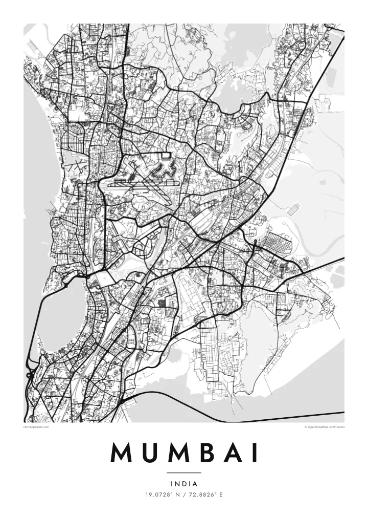
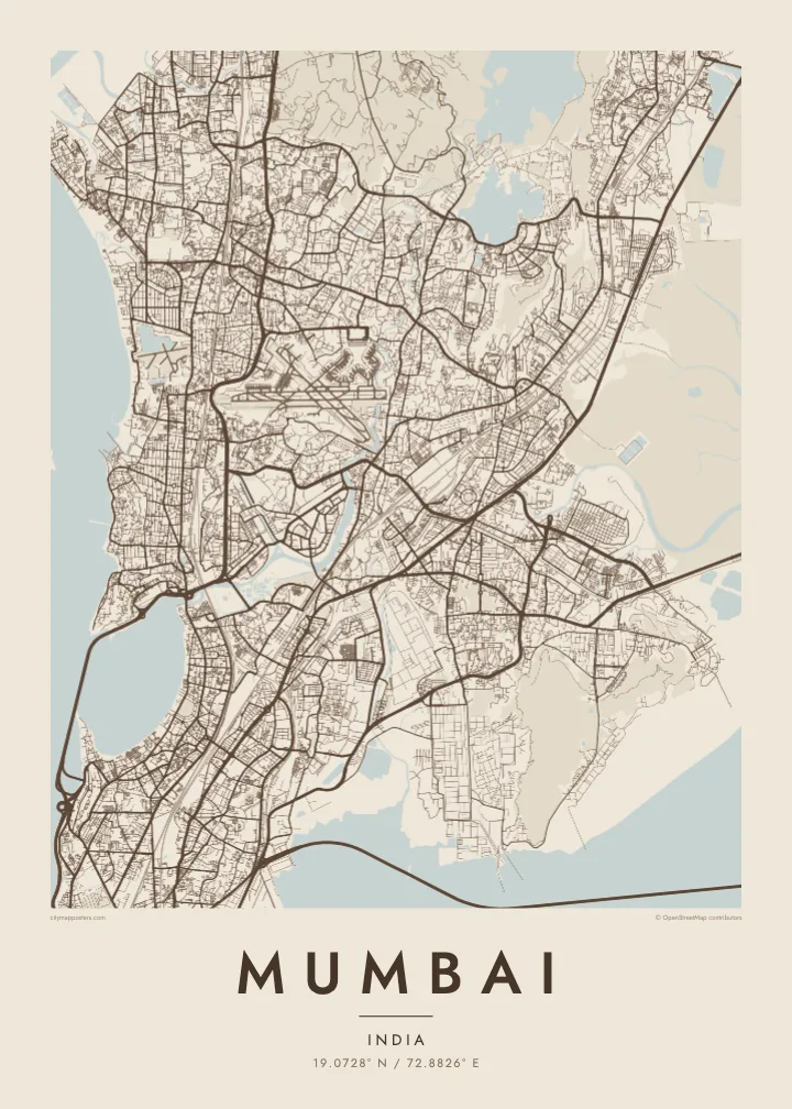
A long peninsula of joined islands, curving around Back Bay and reaching south toward Colaba between sea and harbour


Taone e tasi, lagona e lima
Pau te tapaki o se style ke lavea i luga i te puipui. E tutasi te tau o style takitasi — telotele mo faaki, e aunoa io me fai ki faila HD.
 Pixel tonu · faila lolomi 24 × 36″
Manino ki te lomiga
Tenei se 100% mai te faila lolomi tonu. Poster takitasi — telotele, faaki io me download — e faite i luga i a matou server i te 300 DPI, e oko atu ki 7,200 × 10,800 pixel, ko ala e maofio ei mo maiga vaega foliki i luga i te lolomi 24 × 36″.
I te pakitala


Te mape
Mumbai occupies a narrow peninsula facing the Arabian Sea, created largely in the eighteenth and nineteenth centuries by joining seven islands through land reclamation. The resulting outline tapers south toward Colaba, with Back Bay curving along the west and the sheltered harbour on the east. To the north the city widens across Salsette Island, bounded by creeks and the forested hills of Sanjay Gandhi National Park.
The southern tip holds the densest layer of history, with the Fort district, the Oval Maidan and the station at Chhatrapati Shivaji Terminus. Marine Drive traces the arc of Back Bay, and further north the Bandra–Worli Sea Link swings out over the water on a long cable-stayed span. Between them, the Mithi River and Mahim Creek cut in from the west.
Chhatrapati Shivaji Terminus is a UNESCO World Heritage Site, and in 2018 the Victorian Gothic and Art Deco ensembles around the Oval Maidan were added as well. Mumbai is India’s financial capital and home to the Hindi film industry. A Mumbai map poster shows the coastline that made it possible: a deep, protected harbour on one side and the open sea on the other.
A long promenade and road tracing the curve of Back Bay from Nariman Point toward Malabar Hill. From above it forms one of the cleanest arcs on any city map.
A cable-stayed bridge that leaves the shore and crosses Mahim Bay on a gentle curve, linking the western suburbs with the island city to the south.
A large forested area in the northern suburbs, enclosed by the city on almost every side. It appears as a broad open space breaking the dense street network of the north.
Fai ke fakatau ki a koe
Fakaopoopo se aso, se igoa io me se fuaiupu o koe, sui te sitaila, te lasi io me te tuuga.
Te preview fua e maulalo te malamalama kae iai se watermark. Poster telotele mo faila HD e faite i te 300 DPI, e oko atu ki 7,200 × 10,800 px, aunoa mo se watermark.
Kaia a Mumbai
Mumbai belongs to people who have lived its commute, its monsoon and its seafront, and to those who carry it with them after moving abroad. The long outline of the peninsula makes a distinctive vertical composition, well suited to taller frames.
Use the title and subtitle for a neighbourhood, a family name or the date you first arrived, and edit the coordinates line. Choose Classic black & white, Noir, Paper, Blueprint or Sand, and order HD files for $9 or a printed matte poster.
Otaina te poster Mumbai| Lasi o te lomiga | Manino | Faila |
|---|---|---|
| 30 × 40 cm11.8 × 15.7″ | 3,543 × 4,724 px | PNG · PDF |
| 29.7 × 42 cm (A3)11.7 × 16.5″ | 3,508 × 4,961 px | PNG · PDF |
| 42 × 59.4 cm (A2)16.5 × 23.4″ | 4,961 × 7,016 px | PNG · PDF |
| 45.7 × 61 cm18 × 24″ | 5,400 × 7,200 px | PNG · PDF |
| 50 × 70 cm19.7 × 27.6″ | 5,906 × 8,268 px | PNG · PDF |
| 61 × 91.4 cm24 × 36″ | 7,200 × 10,800 px | PNG · PDF |
Ke fakatusa, a te ata fakataitai fua e 900 px te lautele, mo te fakailoga kae mo lau lavea i luga i te komipiuta. A faila HD e oko ki te 8× te manino i itu katoa kae lomi faka‵lei i te lasi katoa o te pousita.
Filifili se style i te pito i luga o te itulau, kae filifili Poster Telotele — se lasi mo se faaki manafai e manako koe — io me Faila Digital HD. E tasi te sitepu mo te checkout, kae ka fakafou te itulau o tau ota i te taimi e mafai ei te totogi.
E telotele i luga o te pepa vali gali 200 gsm i se tasi mai lasi e ono, mai te 30 × 40 cm ki te 24 × 36″. E kamata te poster telotele mai i te $39, kae aofia ei te uta.
Ioe. Filifili se faaki lakau maoli i te kulokula, tea, oak maoli io me lakau pogisa. E oo mai ki tioata e se malepe kae toka ke tautau. E kamata te poster faaki mai i te $99, kae aofia ei te uta.
E tuku fua ki fenua e 60+. A poloaiga taki tasi e ta ne te tauhaga e latalata mai i a matou tauhaga ta i fenua e 30+, kae e masani o aunoa i aso galue e 3–7. E mafai o salasala te tulaga mo te sukesuke i lalo o Aku poloaiga. I nisi fenua e 2–5 vaiaso, kae i mea e seki tuku atu ei matou, e fakailoa atu e te mea tafaoga i mua o te totogi.
Auina mai se ata i loto i te 14 aso mai te taimi e oko ei kae ka toe telotele fua ne matou io me toe totogi atu tau tupe.
Ioe. I te editor i te itulau tenei, sui te ulutala, te ulutala lalo mo te laina o coordinate ki so se mea e manako koe, kae filifili se style mo se lasi. Oga telotele, faaki mo digital e faigana katoa i tau tusiga tonu.
Mo te $9 ka maua ne koe faila PNG 300 DPI mo PDF fakatoka lolomi i lasi e ono katoa, aunoa mo se watermark, ke lolomi i so se koga. E se mautinoa koe? Download muamua se preview fua e iai te watermark.
