Subic Bay
The deep, sheltered bay forms the western edge of the map, its coastline curving around the city and the former base, with piers and harbour structures along the shore.
Pousita mape faigofie · Philippines
14.8292° N / 120.2828° E
A city pressed between the Zambales mountains and Subic Bay, its compact grid facing the former naval base across a narrow waterway.


Taone e tasi, lagona e lima
Pau te tapaki o se style ke lavea i luga i te puipui. E tutasi te tau o style takitasi — telotele mo faaki, e aunoa io me fai ki faila HD.
 Pixel tonu · faila lolomi 24 × 36″
Manino ki te lomiga
Tenei se 100% mai te faila lolomi tonu. Poster takitasi — telotele, faaki io me download — e faite i luga i a matou server i te 300 DPI, e oko atu ki 7,200 × 10,800 pixel, ko ala e maofio ei mo maiga vaega foliki i luga i te lolomi 24 × 36″.
I te pakitala


Te mape
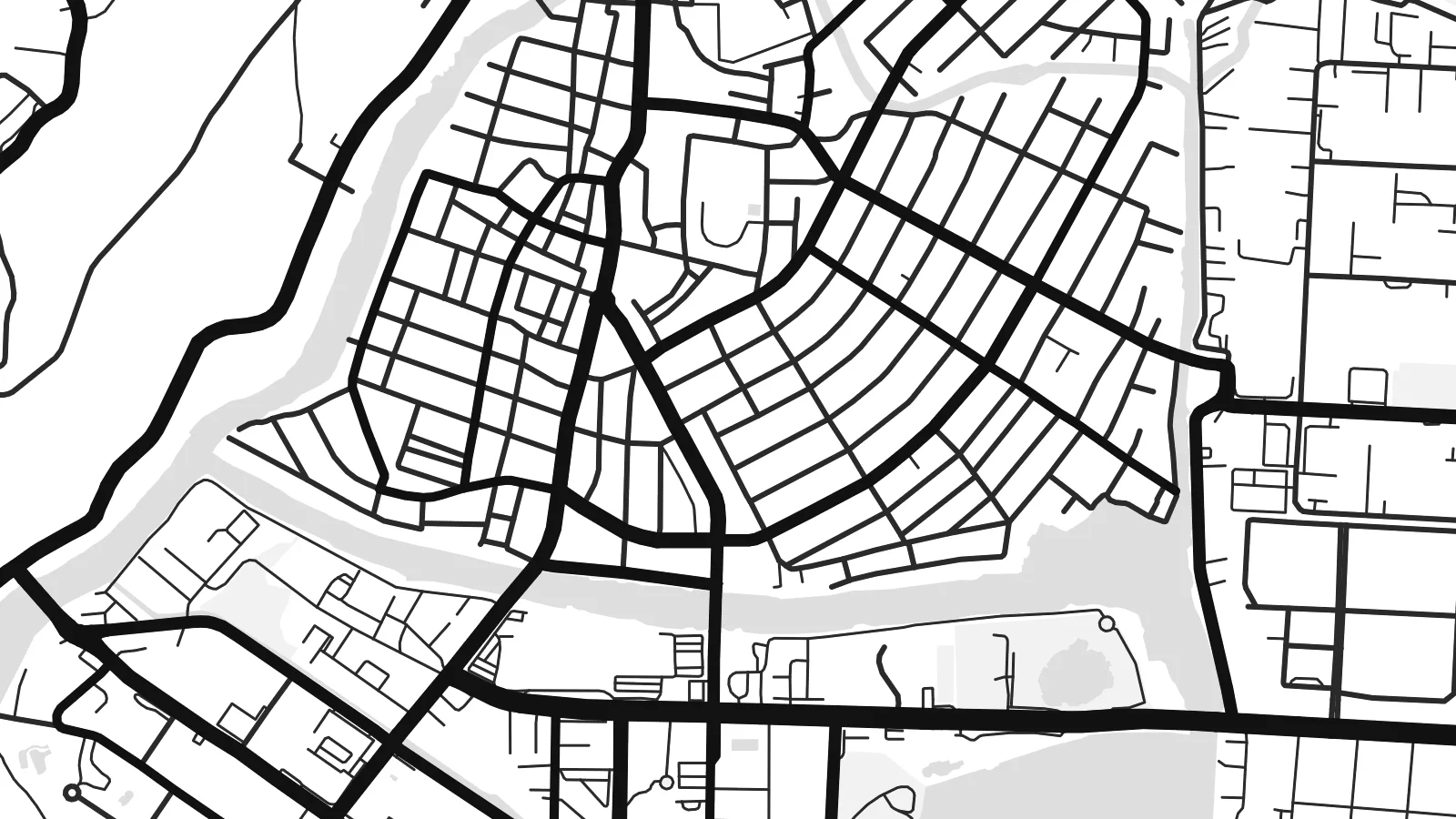
Olongapo occupies a narrow strip of flat land at the head of Subic Bay, with forested hills of the Zambales range rising close behind. The downtown streets form a tight, regular grid squeezed between the slopes and the shore, and newer neighbourhoods climb into the valleys wherever the terrain allows. On the map, green hills press in from almost every side.
For much of the twentieth century the city's life was tied to the United States Naval Base Subic Bay, one of the largest American military installations abroad. When the base closed in 1992, its land was converted into the Subic Bay Freeport Zone, with a port, an airport and industrial areas. A small waterway and the main gate still mark the line between base and city.
The Olongapo map poster shows the two halves side by side: the dense civilian grid on one side, the spacious layout of the former base on the other, with its long waterfront and roads winding into the hills. It is an unusual portrait of how military history shapes a city's form, even decades after the base itself has gone.
The deep, sheltered bay forms the western edge of the map, its coastline curving around the city and the former base, with piers and harbour structures along the shore.
Between the hills and the water, central Olongapo is laid out in a compact grid of short blocks, one of the densest parts of the map.
The former naval base spreads across a large area beside the city, with broad roads, open spaces and waterfront facilities giving it a very different texture.
Fai ke fakatau ki a koe
Fakaopoopo se aso, se igoa io me se fuaiupu o koe, sui te sitaila, te lasi io me te tuuga.
Te preview fua e maulalo te malamalama kae iai se watermark. Poster telotele mo faila HD e faite i te 300 DPI, e oko atu ki 7,200 × 10,800 px, aunoa mo se watermark.
Kaia a Olongapo
Olongapo is remembered by many, including former service members, Filipino families and people who have worked in the freeport. The map brings together hills, bay and city in a composition that makes sense to all of them.
Add a title, a subtitle with a year or unit name, and adjust the coordinates line. Choose among five styles; Blueprint suits the naval history well. A free watermarked preview is available before buying the $9 HD files.
Otaina te poster Olongapo| Lasi o te lomiga | Manino | Faila |
|---|---|---|
| 30 × 40 cm11.8 × 15.7″ | 3,543 × 4,724 px | PNG · PDF |
| 29.7 × 42 cm (A3)11.7 × 16.5″ | 3,508 × 4,961 px | PNG · PDF |
| 42 × 59.4 cm (A2)16.5 × 23.4″ | 4,961 × 7,016 px | PNG · PDF |
| 45.7 × 61 cm18 × 24″ | 5,400 × 7,200 px | PNG · PDF |
| 50 × 70 cm19.7 × 27.6″ | 5,906 × 8,268 px | PNG · PDF |
| 61 × 91.4 cm24 × 36″ | 7,200 × 10,800 px | PNG · PDF |
Ke fakatusa, a te ata fakataitai fua e 900 px te lautele, mo te fakailoga kae mo lau lavea i luga i te komipiuta. A faila HD e oko ki te 8× te manino i itu katoa kae lomi faka‵lei i te lasi katoa o te pousita.
Filifili se style i te pito i luga o te itulau, kae filifili Poster Telotele — se lasi mo se faaki manafai e manako koe — io me Faila Digital HD. E tasi te sitepu mo te checkout, kae ka fakafou te itulau o tau ota i te taimi e mafai ei te totogi.
E telotele i luga o te pepa vali gali 200 gsm i se tasi mai lasi e ono, mai te 30 × 40 cm ki te 24 × 36″. E kamata te poster telotele mai i te $39, kae aofia ei te uta.
Ioe. Filifili se faaki lakau maoli i te kulokula, tea, oak maoli io me lakau pogisa. E oo mai ki tioata e se malepe kae toka ke tautau. E kamata te poster faaki mai i te $99, kae aofia ei te uta.
E tuku fua ki fenua e 60+. A poloaiga taki tasi e ta ne te tauhaga e latalata mai i a matou tauhaga ta i fenua e 30+, kae e masani o aunoa i aso galue e 3–7. E mafai o salasala te tulaga mo te sukesuke i lalo o Aku poloaiga. I nisi fenua e 2–5 vaiaso, kae i mea e seki tuku atu ei matou, e fakailoa atu e te mea tafaoga i mua o te totogi.
Auina mai se ata i loto i te 14 aso mai te taimi e oko ei kae ka toe telotele fua ne matou io me toe totogi atu tau tupe.
Ioe. I te editor i te itulau tenei, sui te ulutala, te ulutala lalo mo te laina o coordinate ki so se mea e manako koe, kae filifili se style mo se lasi. Oga telotele, faaki mo digital e faigana katoa i tau tusiga tonu.
Mo te $9 ka maua ne koe faila PNG 300 DPI mo PDF fakatoka lolomi i lasi e ono katoa, aunoa mo se watermark, ke lolomi i so se koga. E se mautinoa koe? Download muamua se preview fua e iai te watermark.
