Channel to Miyajima
A slim stretch of the Inland Sea separates the mainland from the island, giving the map a strong horizontal band of open water between two landmasses.
Pousita mape faigofie · Japan
34.2833° N / 132.2667° E
A narrow coastal strip on the Hiroshima mainland, facing the island of Miyajima across a slim channel of sea


Taone e tasi, lagona e lima
Pau te tapaki o se style ke lavea i luga i te puipui. E tutasi te tau o style takitasi — telotele mo faaki, e aunoa io me fai ki faila HD.
 Pixel tonu · faila lolomi 24 × 36″
Manino ki te lomiga
Tenei se 100% mai te faila lolomi tonu. Poster takitasi — telotele, faaki io me download — e faite i luga i a matou server i te 300 DPI, e oko atu ki 7,200 × 10,800 pixel, ko ala e maofio ei mo maiga vaega foliki i luga i te lolomi 24 × 36″.
I te pakitala


Te mape
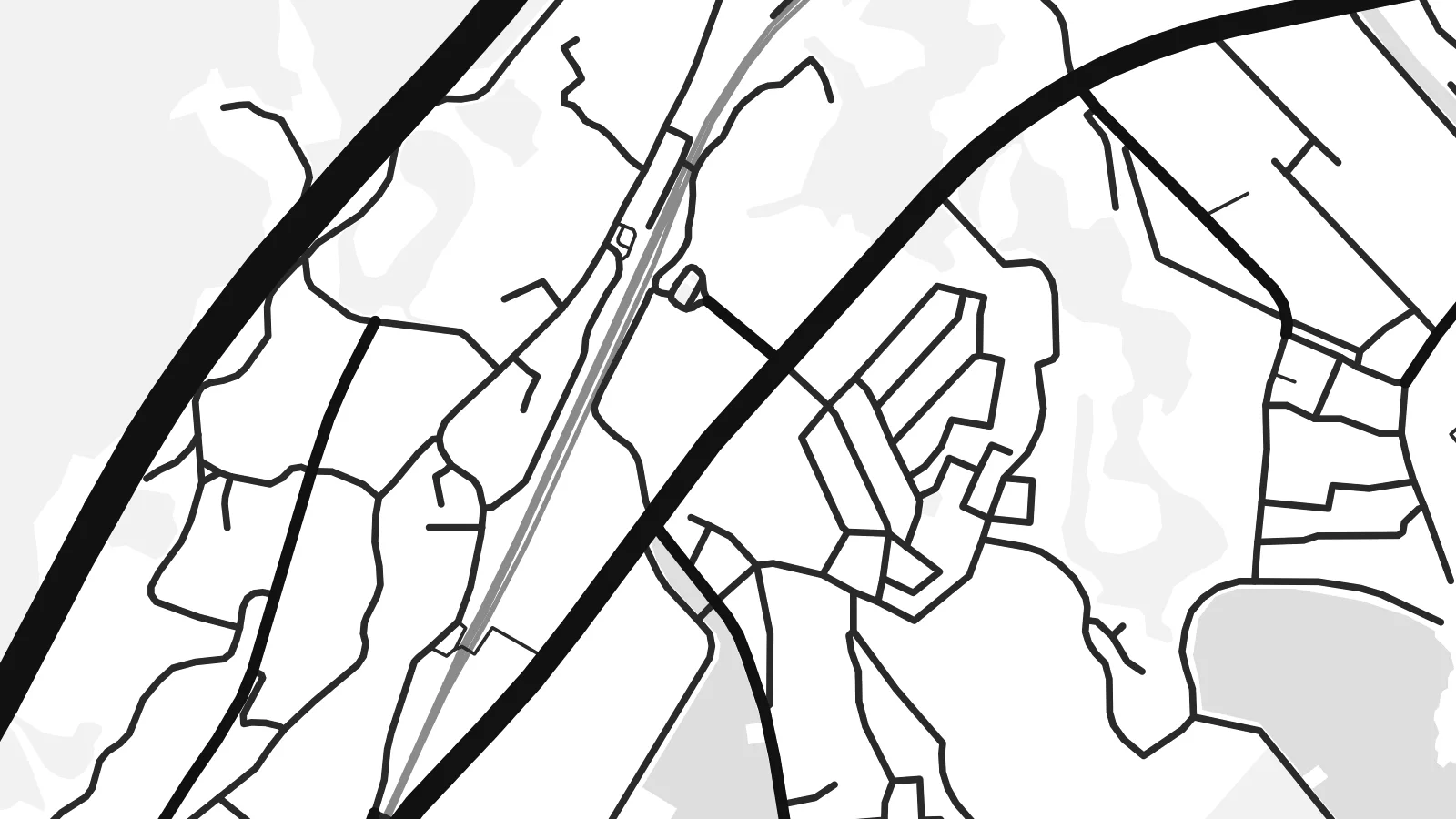
Ōno lies on the western shore of Hiroshima Bay, now part of the city of Hatsukaichi. On a map the town is a long, thin ribbon of streets squeezed between the Seto Inland Sea and steep wooded hills, with the railway and coastal road running parallel to the shore and short side streets climbing briefly before the slopes take over.
Across the water sits Itsukushima, better known as Miyajima, whose forested outline fills part of the frame. That pairing of mainland strip and island gives an Ōno-hara map poster an unusual balance: a dense line of settlement on one side, a quiet mountainous island on the other, and a narrow band of water between them.
The ferries to Miyajima leave from this stretch of coast, so many visitors pass through without noticing the town itself. The island's shrine, with its famous torii standing in the water, is a UNESCO World Heritage Site and one of the most recognised views in Japan.
A slim stretch of the Inland Sea separates the mainland from the island, giving the map a strong horizontal band of open water between two landmasses.
Transport lines run tightly along the shoreline, parallel to the water, forming long unbroken strokes that define the length of the town.
Wooded slopes rise quickly inland, so settlement stays on the narrow coastal flats and the upper part of the print remains open and calm.
Fai ke fakatau ki a koe
Fakaopoopo se aso, se igoa io me se fuaiupu o koe, sui te sitaila, te lasi io me te tuuga.
Te preview fua e maulalo te malamalama kae iai se watermark. Poster telotele mo faila HD e faite i te 300 DPI, e oko atu ki 7,200 × 10,800 px, aunoa mo se watermark.
Kaia a Ōno-hara
Many people know this coast as the gateway to Miyajima, and for residents it is home, with the island always on the horizon. A map of Ōno holds both the town and the view it looks out on.
You can edit the title, subtitle and coordinates line to mark a stay, a move or a family connection, and choose between Classic black & white, Noir, Paper, Blueprint and Sand.
Otaina te poster Ōno-hara| Lasi o te lomiga | Manino | Faila |
|---|---|---|
| 30 × 40 cm11.8 × 15.7″ | 3,543 × 4,724 px | PNG · PDF |
| 29.7 × 42 cm (A3)11.7 × 16.5″ | 3,508 × 4,961 px | PNG · PDF |
| 42 × 59.4 cm (A2)16.5 × 23.4″ | 4,961 × 7,016 px | PNG · PDF |
| 45.7 × 61 cm18 × 24″ | 5,400 × 7,200 px | PNG · PDF |
| 50 × 70 cm19.7 × 27.6″ | 5,906 × 8,268 px | PNG · PDF |
| 61 × 91.4 cm24 × 36″ | 7,200 × 10,800 px | PNG · PDF |
Ke fakatusa, a te ata fakataitai fua e 900 px te lautele, mo te fakailoga kae mo lau lavea i luga i te komipiuta. A faila HD e oko ki te 8× te manino i itu katoa kae lomi faka‵lei i te lasi katoa o te pousita.
Filifili se style i te pito i luga o te itulau, kae filifili Poster Telotele — se lasi mo se faaki manafai e manako koe — io me Faila Digital HD. E tasi te sitepu mo te checkout, kae ka fakafou te itulau o tau ota i te taimi e mafai ei te totogi.
E telotele i luga o te pepa vali gali 200 gsm i se tasi mai lasi e ono, mai te 30 × 40 cm ki te 24 × 36″. E kamata te poster telotele mai i te $39, kae aofia ei te uta.
Ioe. Filifili se faaki lakau maoli i te kulokula, tea, oak maoli io me lakau pogisa. E oo mai ki tioata e se malepe kae toka ke tautau. E kamata te poster faaki mai i te $99, kae aofia ei te uta.
E tuku fua ki fenua e 60+. A poloaiga taki tasi e ta ne te tauhaga e latalata mai i a matou tauhaga ta i fenua e 30+, kae e masani o aunoa i aso galue e 3–7. E mafai o salasala te tulaga mo te sukesuke i lalo o Aku poloaiga. I nisi fenua e 2–5 vaiaso, kae i mea e seki tuku atu ei matou, e fakailoa atu e te mea tafaoga i mua o te totogi.
Auina mai se ata i loto i te 14 aso mai te taimi e oko ei kae ka toe telotele fua ne matou io me toe totogi atu tau tupe.
Ioe. I te editor i te itulau tenei, sui te ulutala, te ulutala lalo mo te laina o coordinate ki so se mea e manako koe, kae filifili se style mo se lasi. Oga telotele, faaki mo digital e faigana katoa i tau tusiga tonu.
Mo te $9 ka maua ne koe faila PNG 300 DPI mo PDF fakatoka lolomi i lasi e ono katoa, aunoa mo se watermark, ke lolomi i so se koga. E se mautinoa koe? Download muamua se preview fua e iai te watermark.
