Nakanoshima island
A long, narrow island between the Dojima and Tosabori rivers, holding museums, offices and parks. On the map it forms a slender shape in the city centre.
Pousita mape faigofie · Japan
34.6938° N / 135.5011° E
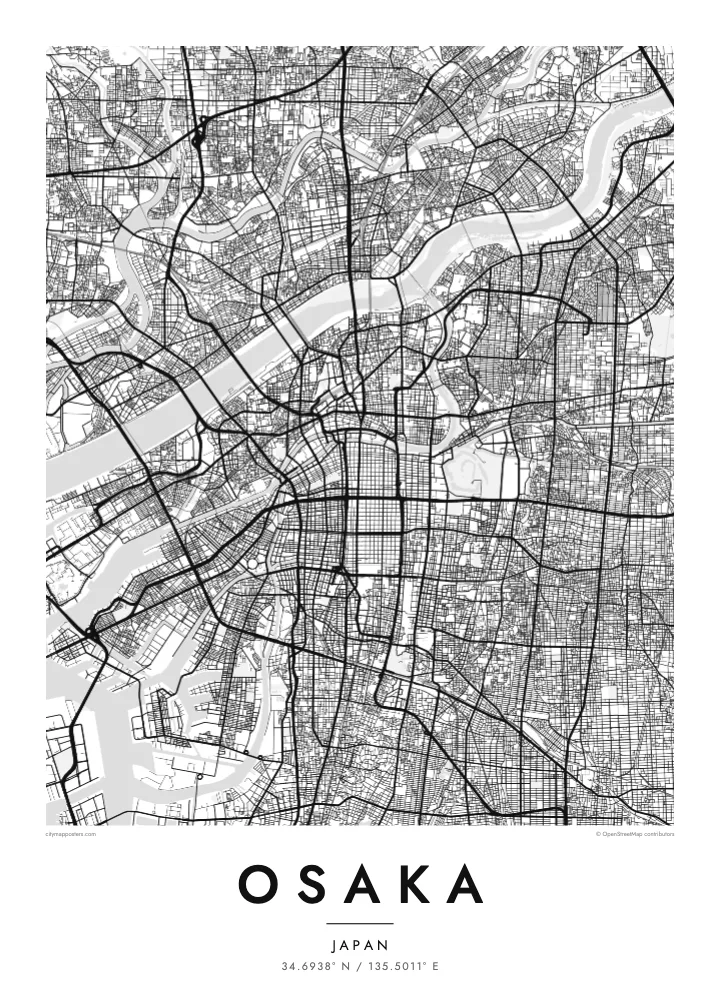
A dense bay city laced with rivers and canals, with a castle park and a long central boulevard


Taone e tasi, lagona e lima
Pau te tapaki o se style ke lavea i luga i te puipui. E tutasi te tau o style takitasi — telotele mo faaki, e aunoa io me fai ki faila HD.
 Pixel tonu · faila lolomi 24 × 36″
Manino ki te lomiga
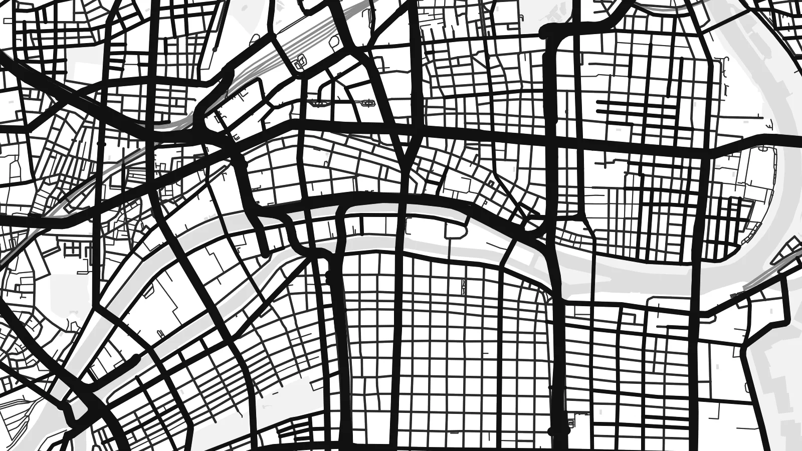
Tenei se 100% mai te faila lolomi tonu. Poster takitasi — telotele, faaki io me download — e faite i luga i a matou server i te 300 DPI, e oko atu ki 7,200 × 10,800 pixel, ko ala e maofio ei mo maiga vaega foliki i luga i te lolomi 24 × 36″.
I te pakitala


Te mape
Osaka sits on Osaka Bay, at the mouth of the Yodo River. From above, the city is a dense web of streets, criss-crossed by rivers and canals. The historic merchant city grew on this network of water, and many of its districts are still defined by the channels around them.
Nakanoshima, a long island between two rivers, holds public buildings and parks in the heart of the city. Midosuji, a wide boulevard, runs north–south through the centre. To the south, the Dotonbori canal cuts through one of the city's best-known entertainment districts, lined with neon signs and bridges.
On higher ground to the east lies Osaka Castle, surrounded by moats and a large park. The Osaka Loop Line rail circle runs around the central districts. An Osaka map poster shows how the rivers, canals, castle and boulevards come together in one of Japan's largest cities.
A long, narrow island between the Dojima and Tosabori rivers, holding museums, offices and parks. On the map it forms a slender shape in the city centre.
The castle stands within layered moats and a large park on higher ground east of the centre. It appears as a large, rectangular green space.
This canal runs east–west through the Namba area, crossed by many bridges. On the map it creates a thin, straight line through dense blocks.
Fai ke fakatau ki a koe
Fakaopoopo se aso, se igoa io me se fuaiupu o koe, sui te sitaila, te lasi io me te tuuga.
Te preview fua e maulalo te malamalama kae iai se watermark. Poster telotele mo faila HD e faite i te 300 DPI, e oko atu ki 7,200 × 10,800 px, aunoa mo se watermark.
Kaia a Osaka
Osaka is remembered for food streets, river walks and late evenings in its neighbourhoods. For those who lived there or visited, a map of its rivers and canals is a clean reminder of the city.
Personalise the title, subtitle and coordinates, for instance with a ward name or a date, and choose Classic black & white, Noir, Paper, Blueprint or Sand. Get it as a digital file or printed poster.
Otaina te poster Osaka| Lasi o te lomiga | Manino | Faila |
|---|---|---|
| 30 × 40 cm11.8 × 15.7″ | 3,543 × 4,724 px | PNG · PDF |
| 29.7 × 42 cm (A3)11.7 × 16.5″ | 3,508 × 4,961 px | PNG · PDF |
| 42 × 59.4 cm (A2)16.5 × 23.4″ | 4,961 × 7,016 px | PNG · PDF |
| 45.7 × 61 cm18 × 24″ | 5,400 × 7,200 px | PNG · PDF |
| 50 × 70 cm19.7 × 27.6″ | 5,906 × 8,268 px | PNG · PDF |
| 61 × 91.4 cm24 × 36″ | 7,200 × 10,800 px | PNG · PDF |
Ke fakatusa, a te ata fakataitai fua e 900 px te lautele, mo te fakailoga kae mo lau lavea i luga i te komipiuta. A faila HD e oko ki te 8× te manino i itu katoa kae lomi faka‵lei i te lasi katoa o te pousita.
Filifili se style i te pito i luga o te itulau, kae filifili Poster Telotele — se lasi mo se faaki manafai e manako koe — io me Faila Digital HD. E tasi te sitepu mo te checkout, kae ka fakafou te itulau o tau ota i te taimi e mafai ei te totogi.
E telotele i luga o te pepa vali gali 200 gsm i se tasi mai lasi e ono, mai te 30 × 40 cm ki te 24 × 36″. E kamata te poster telotele mai i te $39, kae aofia ei te uta.
Ioe. Filifili se faaki lakau maoli i te kulokula, tea, oak maoli io me lakau pogisa. E oo mai ki tioata e se malepe kae toka ke tautau. E kamata te poster faaki mai i te $99, kae aofia ei te uta.
E tuku fua ki fenua e 60+. A poloaiga taki tasi e ta ne te tauhaga e latalata mai i a matou tauhaga ta i fenua e 30+, kae e masani o aunoa i aso galue e 3–7. E mafai o salasala te tulaga mo te sukesuke i lalo o Aku poloaiga. I nisi fenua e 2–5 vaiaso, kae i mea e seki tuku atu ei matou, e fakailoa atu e te mea tafaoga i mua o te totogi.
Auina mai se ata i loto i te 14 aso mai te taimi e oko ei kae ka toe telotele fua ne matou io me toe totogi atu tau tupe.
Ioe. I te editor i te itulau tenei, sui te ulutala, te ulutala lalo mo te laina o coordinate ki so se mea e manako koe, kae filifili se style mo se lasi. Oga telotele, faaki mo digital e faigana katoa i tau tusiga tonu.
Mo te $9 ka maua ne koe faila PNG 300 DPI mo PDF fakatoka lolomi i lasi e ono katoa, aunoa mo se watermark, ke lolomi i so se koga. E se mautinoa koe? Download muamua se preview fua e iai te watermark.
