Old town oval
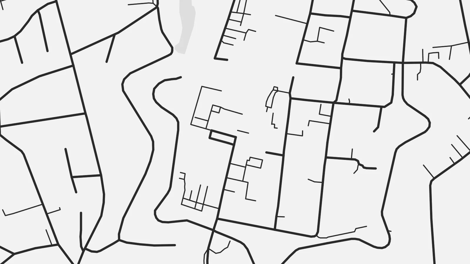
Rinteln's historic centre forms a compact oval by the Weser, and its outline still traces the line of the former town fortifications.
Pousita mape faigofie · Germany
52.1860° N / 9.0792° E
A Weser town with a compact, walled-shaped old centre on the river, framed by forested hills on both banks.


Taone e tasi, lagona e lima
Pau te tapaki o se style ke lavea i luga i te puipui. E tutasi te tau o style takitasi — telotele mo faaki, e aunoa io me fai ki faila HD.
 Pixel tonu · faila lolomi 24 × 36″
Manino ki te lomiga
Tenei se 100% mai te faila lolomi tonu. Poster takitasi — telotele, faaki io me download — e faite i luga i a matou server i te 300 DPI, e oko atu ki 7,200 × 10,800 pixel, ko ala e maofio ei mo maiga vaega foliki i luga i te lolomi 24 × 36″.
I te pakitala


Te mape
Rinteln lies on the Weser in the Schaumburg district of Lower Saxony, in a broad valley between the Weser Uplands and the hills of the Wesergebirge. From above, the old town is a compact oval on the south bank of the river. The shape of its former fortifications can still be read in the street pattern around it, with the market square at the centre.
For nearly two centuries, from 1621 to 1810, Rinteln was home to a university, and the old centre has fine examples of Weser Renaissance architecture. Across the river, newer districts and the railway extend along the valley floor, while forested slopes close off the view to the north and south.
A Rinteln map poster brings together the curve of the Weser, the neat outline of the historic core and the wooded hills around it. It is a small town with a clear structure, and the old centre stands out well at every print size.
Rinteln's historic centre forms a compact oval by the Weser, and its outline still traces the line of the former town fortifications.
The river runs past the old town in a broad curve, and the bridge connecting both banks is a clear focal point of the map.
Forested hills rise on both sides of the valley and frame the town, giving the composition a natural border to the north and south.
Fai ke fakatau ki a koe
Fakaopoopo se aso, se igoa io me se fuaiupu o koe, sui te sitaila, te lasi io me te tuuga.
Te preview fua e maulalo te malamalama kae iai se watermark. Poster telotele mo faila HD e faite i te 300 DPI, e oko atu ki 7,200 × 10,800 px, aunoa mo se watermark.
Kaia a Rinteln
For people from the Weser valley, former students and anyone who has cycled the Weser route, this map of Rinteln carries a clear sense of place. The historic core makes it a handsome, balanced picture.
Personalise the title and subtitle with a name or date, and edit the coordinates line. Choose from five styles, from Classic black & white to Blueprint. Buy it as a $9 digital file or a printed poster shipped from a nearby partner.
Otaina te poster Rinteln| Lasi o te lomiga | Manino | Faila |
|---|---|---|
| 30 × 40 cm (11.8 × 15.7″) | 3,543 × 4,724 px | PNG · PDF |
| 29.7 × 42 cm (A3, 11.7 × 16.5″) | 3,508 × 4,961 px | PNG · PDF |
| 42 × 59.4 cm (A2, 16.5 × 23.4″) | 4,961 × 7,016 px | PNG · PDF |
| 45.7 × 61 cm (18 × 24″) | 5,400 × 7,200 px | PNG · PDF |
| 50 × 70 cm (19.7 × 27.6″) | 5,906 × 8,268 px | PNG · PDF |
| 61 × 91.4 cm (24 × 36″) | 7,200 × 10,800 px | PNG · PDF |
Ke fakatusa, a te ata fakataitai fua e 900 px te lautele, mo te fakailoga kae mo lau lavea i luga i te komipiuta. A faila HD e oko ki te 8× te manino i itu katoa kae lomi faka‵lei i te lasi katoa o te pousita.
Filifili se style i te pito i luga o te itulau, kae filifili Poster Telotele — se lasi mo se faaki manafai e manako koe — io me Faila Digital HD. E tasi te sitepu mo te checkout, kae ka fakafou te itulau o tau ota i te taimi e mafai ei te totogi.
E telotele i luga o te pepa vali gali 200 gsm i se tasi mai lasi e ono, mai te 30 × 40 cm ki te 24 × 36″. E kamata te poster telotele mai i te $39, kae aofia ei te uta.
Ioe. Filifili se faaki lakau maoli i te kulokula, tea, oak maoli io me lakau pogisa. E oo mai ki tioata e se malepe kae toka ke tautau. E kamata te poster faaki mai i te $99, kae aofia ei te uta.
E saoloto te ave atu i te lalolagi katoa. Ko poster taki tasi e ta ne te taugasoa ta e ofi mai i fenua e 30+, kae e masani o oko atu i aso galue e 3–7. E mafai o mata ki te tulaga mo te sukesuke i lalo o Aku Poloaiga. E isi fenua e 2–5 vaiaso, kae i mea e seki ave atu ki ei, e fakailoa atu ne te saite i mua o te totogi.
Auina mai se ata i loto i te 14 aso mai te taimi e oko ei kae ka toe telotele fua ne matou io me toe totogi atu tau tupe.
Ioe. I te editor i te itulau tenei, sui te ulutala, te ulutala lalo mo te laina o coordinate ki so se mea e manako koe, kae filifili se style mo se lasi. Oga telotele, faaki mo digital e faigana katoa i tau tusiga tonu.
Mo te $9 ka maua ne koe faila PNG 300 DPI mo PDF fakatoka lolomi i lasi e ono katoa, aunoa mo se watermark, ke lolomi i so se koga. E se mautinoa koe? Download muamua se preview fua e iai te watermark.
