Okozu diversion channel
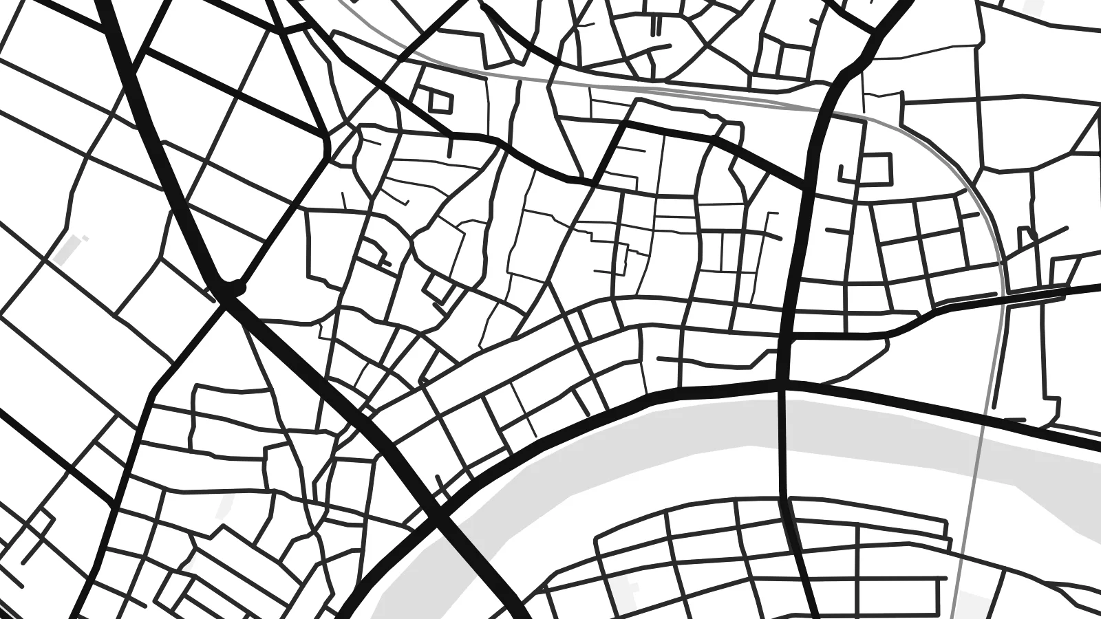
In the Bunsui district a large channel leaves the Shinano River and heads towards the Sea of Japan. It was built in the early twentieth century to control flooding on the plain, and it cuts a bold diagonal across the map.
Pousita mape faigofie · Japan
37.6645° N / 138.9252° E
A flat grid of streets and paddies on the Echigo Plain, bounded by the Shinano River and cut through by a great diversion channel


Taone e tasi, lagona e lima
Pau te tapaki o se style ke lavea i luga i te puipui. E tutasi te tau o style takitasi — telotele mo faaki, e aunoa io me fai ki faila HD.
 Pixel tonu · faila lolomi 24 × 36″
Manino ki te lomiga
Tenei se 100% mai te faila lolomi tonu. Poster takitasi — telotele, faaki io me download — e faite i luga i a matou server i te 300 DPI, e oko atu ki 7,200 × 10,800 pixel, ko ala e maofio ei mo maiga vaega foliki i luga i te lolomi 24 × 36″.
I te pakitala


Te mape
Seen from above, Tsubame sits on the wide, level ground of the Echigo Plain in Niigata Prefecture. The Shinano River, Japan's longest, runs along its edge, and smaller waterways cross the plain beside it. The built-up centre has a fairly tight grain of streets. Beyond it the pattern opens into long rectangular rice fields, so the map moves from dense linework to a quieter geometry of field boundaries and farm roads.
The city in its current form dates from 2006, when Tsubame merged with the neighbouring towns of Yoshida and Bunsui. On the map this shows as more than one cluster of streets, joined by roads and railway lines across open farmland. The Joetsu Shinkansen passes nearby, with Tsubame-Sanjo Station close to the boundary with Sanjo. A Tsubame map poster shows how these separate settlements fit together on the plain.
Tsubame is best known for metalworking. Nail-making began here centuries ago and later gave way to copperware. Today the city is one of Japan's main centres for stainless-steel cutlery and tableware. Workshops and small factories sit among the houses, though the map shows none of that directly. It records the setting instead: flat ground, reliable water and routes to the rest of the country, which helped a local craft grow into an industry.
In the Bunsui district a large channel leaves the Shinano River and heads towards the Sea of Japan. It was built in the early twentieth century to control flooding on the plain, and it cuts a bold diagonal across the map.
The broad river curves along the city's edge, with embankments and wide floodplain on either side. In black and white it forms the main natural line on the poster, and the street pattern is set against it.
Around the urban areas, rice fields divide the land into long regular plots with straight farm roads between them. The result is a calm, almost woven texture that sets off the denser streets of the town centres.
Fai ke fakatau ki a koe
Fakaopoopo se aso, se igoa io me se fuaiupu o koe, sui te sitaila, te lasi io me te tuuga.
Te preview fua e maulalo te malamalama kae iai se watermark. Poster telotele mo faila HD e faite i te 300 DPI, e oko atu ki 7,200 × 10,800 px, aunoa mo se watermark.
Kaia a Tsubame
For people from Tsubame, or anyone who owns a set of its cutlery, this map is a quiet reminder of a place that makes useful things. The river, the channel and the fields give it a clear structure, and it looks good in a kitchen, a workshop or a study.
You can personalise the title, subtitle and coordinates line to mark a hometown, a factory visit or a family date. There are five styles: Classic black and white, Noir, Paper, Blueprint or Sand. You can buy HD digital files for $9, or order a matte print with an optional wooden frame.
Otaina te poster Tsubame| Lasi o te lomiga | Manino | Faila |
|---|---|---|
| 30 × 40 cm11.8 × 15.7″ | 3,543 × 4,724 px | PNG · PDF |
| 29.7 × 42 cm (A3)11.7 × 16.5″ | 3,508 × 4,961 px | PNG · PDF |
| 42 × 59.4 cm (A2)16.5 × 23.4″ | 4,961 × 7,016 px | PNG · PDF |
| 45.7 × 61 cm18 × 24″ | 5,400 × 7,200 px | PNG · PDF |
| 50 × 70 cm19.7 × 27.6″ | 5,906 × 8,268 px | PNG · PDF |
| 61 × 91.4 cm24 × 36″ | 7,200 × 10,800 px | PNG · PDF |
Ke fakatusa, a te ata fakataitai fua e 900 px te lautele, mo te fakailoga kae mo lau lavea i luga i te komipiuta. A faila HD e oko ki te 8× te manino i itu katoa kae lomi faka‵lei i te lasi katoa o te pousita.
Filifili se style i te pito i luga o te itulau, kae filifili Poster Telotele — se lasi mo se faaki manafai e manako koe — io me Faila Digital HD. E tasi te sitepu mo te checkout, kae ka fakafou te itulau o tau ota i te taimi e mafai ei te totogi.
E telotele i luga o te pepa vali gali 200 gsm i se tasi mai lasi e ono, mai te 30 × 40 cm ki te 24 × 36″. E kamata te poster telotele mai i te $39, kae aofia ei te uta.
Ioe. Filifili se faaki lakau maoli i te kulokula, tea, oak maoli io me lakau pogisa. E oo mai ki tioata e se malepe kae toka ke tautau. E kamata te poster faaki mai i te $99, kae aofia ei te uta.
E tuku fua ki fenua e 60+. A poloaiga taki tasi e ta ne te tauhaga e latalata mai i a matou tauhaga ta i fenua e 30+, kae e masani o aunoa i aso galue e 3–7. E mafai o salasala te tulaga mo te sukesuke i lalo o Aku poloaiga. I nisi fenua e 2–5 vaiaso, kae i mea e seki tuku atu ei matou, e fakailoa atu e te mea tafaoga i mua o te totogi.
Auina mai se ata i loto i te 14 aso mai te taimi e oko ei kae ka toe telotele fua ne matou io me toe totogi atu tau tupe.
Ioe. I te editor i te itulau tenei, sui te ulutala, te ulutala lalo mo te laina o coordinate ki so se mea e manako koe, kae filifili se style mo se lasi. Oga telotele, faaki mo digital e faigana katoa i tau tusiga tonu.
Mo te $9 ka maua ne koe faila PNG 300 DPI mo PDF fakatoka lolomi i lasi e ono katoa, aunoa mo se watermark, ke lolomi i so se koga. E se mautinoa koe? Download muamua se preview fua e iai te watermark.
