Kaichu Doro
A long road built across shallow sea from the Katsuren Peninsula to Henza Island. On the map it is a single straight line running across open water toward the islands.
Pousita mape faigofie · Japan
26.3761° N / 127.8591° E
A city on Okinawa's eastern coast, with a peninsula, a causeway over shallow sea and a castle ruin on a ridge.


Taone e tasi, lagona e lima
Pau te tapaki o se style ke lavea i luga i te puipui. E tutasi te tau o style takitasi — telotele mo faaki, e aunoa io me fai ki faila HD.
 Pixel tonu · faila lolomi 24 × 36″
Manino ki te lomiga
Tenei se 100% mai te faila lolomi tonu. Poster takitasi — telotele, faaki io me download — e faite i luga i a matou server i te 300 DPI, e oko atu ki 7,200 × 10,800 pixel, ko ala e maofio ei mo maiga vaega foliki i luga i te lolomi 24 × 36″.
I te pakitala


Te mape
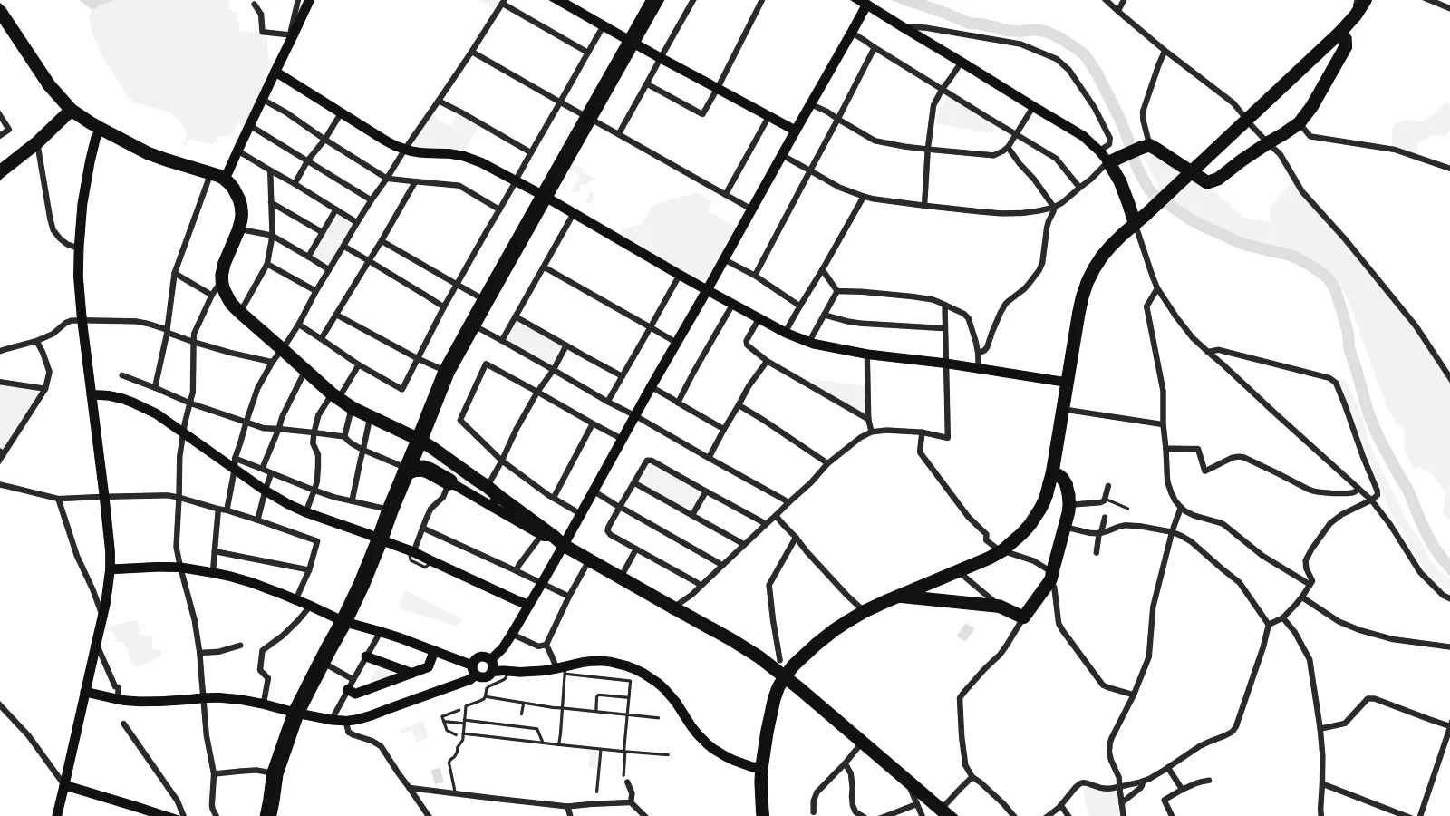
Uruma is a city on the central east coast of Okinawa Island, formed in 2005 by merging four former municipalities. On a map, its shape is unusual. The city covers part of the main island, the long Katsuren Peninsula and several offshore islands, linked by bridges and a causeway across shallow water.
On the peninsula stand the ruins of Katsuren Castle, one of the gusuku sites listed together as a UNESCO World Heritage Site. Its stone walls climb a ridge overlooking the sea. From the peninsula, the Kaichu Doro road runs several kilometres across the sea to Henza Island, with Hamahiga and other islands beyond it.
A Uruma map poster captures a place where the coast is as important as the streets. The built-up areas follow the shoreline and gather on the main island. The peninsula reaches out into the water, and the causeway draws a thin, straight line across the sea. In black and white, the islands and reefs become strong graphic shapes.
A long road built across shallow sea from the Katsuren Peninsula to Henza Island. On the map it is a single straight line running across open water toward the islands.
The UNESCO-listed ruins of a gusuku sit on a ridge above the coast. The curving stone walls follow the hilltop and look out across the sea.
Henza, Hamahiga, Ikei and Miyagi islands lie off the peninsula, linked by roads and bridges. Their outlines spread across the eastern side of the map.
Fai ke fakatau ki a koe
Fakaopoopo se aso, se igoa io me se fuaiupu o koe, sui te sitaila, te lasi io me te tuuga.
Te preview fua e maulalo te malamalama kae iai se watermark. Poster telotele mo faila HD e faite i te 300 DPI, e oko atu ki 7,200 × 10,800 px, aunoa mo se watermark.
Kaia a Uruma
Uruma's coastline, castle ruin and island roads make it a memorable part of Okinawa for residents and visitors alike. A map shows the whole shape at once, with land, sea and the causeway joining them.
Add a title and subtitle for a trip, a posting or a family connection, and adjust the coordinates. Choose from five styles, including Classic black & white, Noir and Blueprint. The water and islands look striking in each one.
Otaina te poster Uruma| Lasi o te lomiga | Manino | Faila |
|---|---|---|
| 30 × 40 cm11.8 × 15.7″ | 3,543 × 4,724 px | PNG · PDF |
| 29.7 × 42 cm (A3)11.7 × 16.5″ | 3,508 × 4,961 px | PNG · PDF |
| 42 × 59.4 cm (A2)16.5 × 23.4″ | 4,961 × 7,016 px | PNG · PDF |
| 45.7 × 61 cm18 × 24″ | 5,400 × 7,200 px | PNG · PDF |
| 50 × 70 cm19.7 × 27.6″ | 5,906 × 8,268 px | PNG · PDF |
| 61 × 91.4 cm24 × 36″ | 7,200 × 10,800 px | PNG · PDF |
Ke fakatusa, a te ata fakataitai fua e 900 px te lautele, mo te fakailoga kae mo lau lavea i luga i te komipiuta. A faila HD e oko ki te 8× te manino i itu katoa kae lomi faka‵lei i te lasi katoa o te pousita.
Filifili se style i te pito i luga o te itulau, kae filifili Poster Telotele — se lasi mo se faaki manafai e manako koe — io me Faila Digital HD. E tasi te sitepu mo te checkout, kae ka fakafou te itulau o tau ota i te taimi e mafai ei te totogi.
E telotele i luga o te pepa vali gali 200 gsm i se tasi mai lasi e ono, mai te 30 × 40 cm ki te 24 × 36″. E kamata te poster telotele mai i te $39, kae aofia ei te uta.
Ioe. Filifili se faaki lakau maoli i te kulokula, tea, oak maoli io me lakau pogisa. E oo mai ki tioata e se malepe kae toka ke tautau. E kamata te poster faaki mai i te $99, kae aofia ei te uta.
E tuku fua ki fenua e 60+. A poloaiga taki tasi e ta ne te tauhaga e latalata mai i a matou tauhaga ta i fenua e 30+, kae e masani o aunoa i aso galue e 3–7. E mafai o salasala te tulaga mo te sukesuke i lalo o Aku poloaiga. I nisi fenua e 2–5 vaiaso, kae i mea e seki tuku atu ei matou, e fakailoa atu e te mea tafaoga i mua o te totogi.
Auina mai se ata i loto i te 14 aso mai te taimi e oko ei kae ka toe telotele fua ne matou io me toe totogi atu tau tupe.
Ioe. I te editor i te itulau tenei, sui te ulutala, te ulutala lalo mo te laina o coordinate ki so se mea e manako koe, kae filifili se style mo se lasi. Oga telotele, faaki mo digital e faigana katoa i tau tusiga tonu.
Mo te $9 ka maua ne koe faila PNG 300 DPI mo PDF fakatoka lolomi i lasi e ono katoa, aunoa mo se watermark, ke lolomi i so se koga. E se mautinoa koe? Download muamua se preview fua e iai te watermark.
