The Kame
A towering cliff on the west coast, among the highest in Britain, where the land drops almost vertically to the sea. On the map the contour lines crowd together sharply.
极简地图海报 · 英国
60.1338° N / 2.0779° W
A small, high Shetland island rising to great western cliffs, with its few crofts spread along the eastern side.

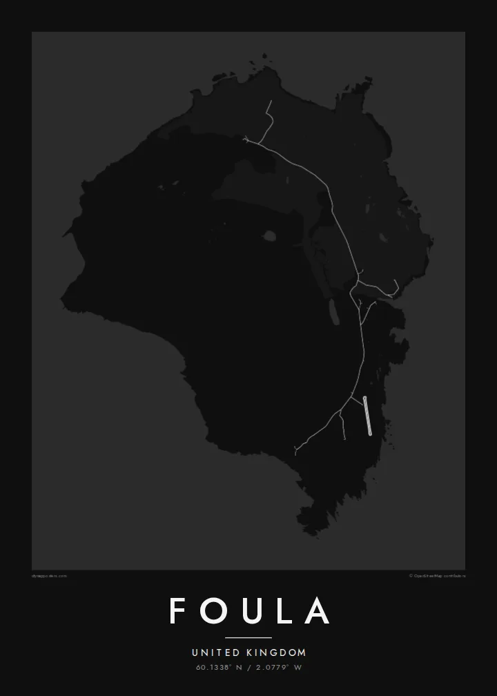


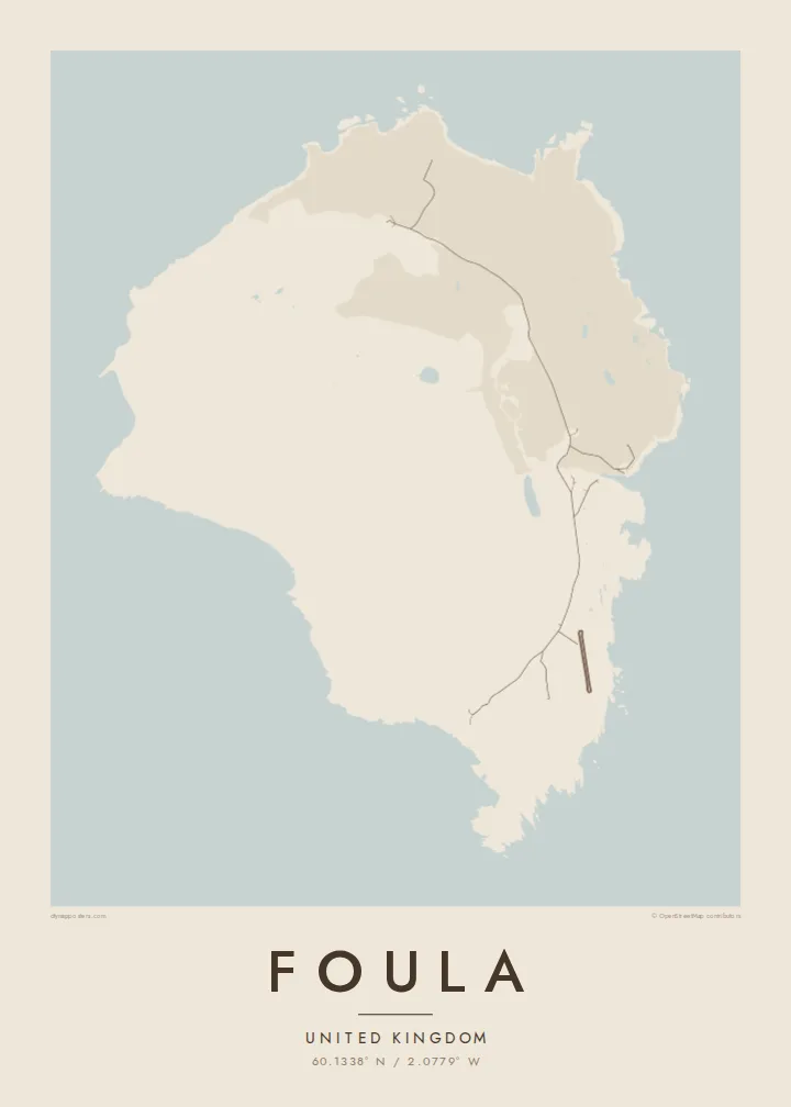
一座城市,五种风格
点击任意风格,即可预览上墙效果。所有风格价格相同——无论是印刷版、装框版还是高清文件。
 实际像素 · 24 × 36″ 印刷文件
印刷级清晰
这是真实印刷文件的 100% 局部放大图。每张海报——无论是印刷、装框还是下载——都在我们的服务器上以 300 DPI、最高 7,200 × 10,800 像素渲染,即使是最细的街道,在 24 × 36″ 的印刷品上依然清晰锐利。
上墙效果


关于地图
Foula lies well west of mainland Shetland and is one of the most remote inhabited islands in Britain. On a map it is a compact, rounded block of land, but the relief tells the real story. High hills rise steeply toward the west and end in sheer sea cliffs. The eastern side slopes gently down to the shore, where the crofts and the small harbour are.
The Kame, on the west coast, is among the highest sea cliffs in the United Kingdom. The hills and moorland hold large seabird colonies, including great skuas. Foula also keeps an old custom: the community still follows the Julian calendar for its festive season and celebrates Christmas in early January.
Only a few dozen people live here, and the island is reached by a small ferry or light aircraft when the weather allows. A Foula map poster shows a place where human lines are few and faint. There is a single road along the east, and height, wind and the Atlantic shape almost everything else.
A towering cliff on the west coast, among the highest in Britain, where the land drops almost vertically to the sea. On the map the contour lines crowd together sharply.
The island's homes and fields are spread along the gentler east side. A single road links them and makes up nearly all of the map's human detail.
Several steep hills fill the heart of the island. They give the map strong relief and a sense of height that is unusual for such a small place.
专属定制
添加日期、名字或一句自己的话,还可切换风格、尺寸或方向。
免费预览为低分辨率并带水印。印刷品和高清文件均以 300 DPI、最高 7,200 × 10,800 px 渲染,且不带水印。
为什么选Foula
Foula draws people who love the far edges of the British Isles: birdwatchers, walkers and those with Shetland roots. Its high, lonely form gives the print real presence, even at the smallest size.
Personalise the title and subtitle with a name, a crossing date or a line of verse, keep the coordinates, and choose one of five styles. Order a matte poster, framed or unframed, or download the full set of HD files.
订购 Foula 海报| 印刷尺寸 | 分辨率 | 文件 |
|---|---|---|
| 30 × 40 cm11.8 × 15.7″ | 3,543 × 4,724 px | PNG · PDF |
| 29.7 × 42 cm (A3)11.7 × 16.5″ | 3,508 × 4,961 px | PNG · PDF |
| 42 × 59.4 cm (A2)16.5 × 23.4″ | 4,961 × 7,016 px | PNG · PDF |
| 45.7 × 61 cm18 × 24″ | 5,400 × 7,200 px | PNG · PDF |
| 50 × 70 cm19.7 × 27.6″ | 5,906 × 8,268 px | PNG · PDF |
| 61 × 91.4 cm24 × 36″ | 7,200 × 10,800 px | PNG · PDF |
作为对比,免费预览图宽 900 px,带水印,仅适合屏幕查看。HD 文件在长宽方向上的分辨率最高可达其 8 倍,按完整海报尺寸印刷依然清晰。
在页面顶部选择一种风格,然后选择印刷海报——尺寸,如果需要还可以选装框——或者数字高清文件。结账只需一步,付款完成后订单页面会立即更新。
采用 200 克优质哑光纸印刷,共六种尺寸可选,从 30 × 40 cm 到 24 × 36″。印刷海报起价 $39,包邮。
可以。可选黑色、白色、原木色或深色实木相框,配防碎玻璃,开箱即挂。装框海报起价 $99,包邮。
免运费配送至 60 多个国家。每张海报由我们在 30 多个国家的合作印刷商中距离您最近的一家印制,通常 3–7 个工作日送达。您可以在“我的订单”中查看订单状态和物流跟踪。少数国家需要 2–5 周;如果暂不支持配送到您所在的地区,网站会在付款前告知您。
请在收货后 14 天内发送照片给我们,我们将免费为您重印或退款。
可以。在本页的编辑器中,可随意修改标题、副标题和坐标行,并选择风格和尺寸。印刷、装框和数字版订单都会完全按照您的设计制作。
只需 $9,即可获得全部六种尺寸的 300 DPI PNG 和适合印刷的 PDF 文件,无水印,可随意打印。还不确定?可以先下载带水印的免费预览版。
