Peninsula tip
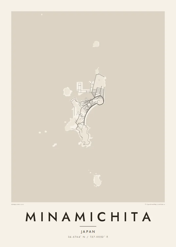
The land narrows to the end of the Chita Peninsula, with water on both sides. The tapering shape gives the map a strong outline.
极简地图海报 · 日本
34.6764° N / 137.0052° E
The southern tip of the Chita Peninsula, a coastline of small harbours with two islands just offshore



一座城市,五种风格
点击任意风格,即可预览上墙效果。所有风格价格相同——无论是印刷版、装框版还是高清文件。
 实际像素 · 24 × 36″ 印刷文件
印刷级清晰
这是真实印刷文件的 100% 局部放大图。每张海报——无论是印刷、装框还是下载——都在我们的服务器上以 300 DPI、最高 7,200 × 10,800 像素渲染,即使是最细的街道,在 24 × 36″ 的印刷品上依然清晰锐利。
上墙效果


关于地图
Minamichita occupies the southern end of the Chita Peninsula in Aichi Prefecture, where the land narrows between Ise Bay and Mikawa Bay. From above, the coastline dominates. Small harbour towns string along the shore, while the hilly interior is lined with farm roads and patches of woodland.
The town also includes two islands offshore, Himakajima and Shinojima, both known for their seafood, especially octopus on Himakajima and fish on Shinojima. On a map, they appear as separate compact outlines on the water. Seen together with the peninsula, they give Minamichita a composition few inland towns can match.
A Minamichita map poster is largely about the meeting of land and water. The peninsula tapers to its tip, the fishing settlements cling to the coast and the islands float nearby. In black and white, the sea becomes a calm open field that frames every line.
The land narrows to the end of the Chita Peninsula, with water on both sides. The tapering shape gives the map a strong outline.
Two islands offshore belong to the town. Their compact outlines and small harbours add separate focal points on the open water.
Fishing settlements line the shore in narrow strips between the sea and the hills, with harbour walls and short piers along the coast.
专属定制
添加日期、名字或一句自己的话,还可切换风格、尺寸或方向。
免费预览为低分辨率并带水印。印刷品和高清文件均以 300 DPI、最高 7,200 × 10,800 px 渲染,且不带水印。
为什么选Minamichita
Minamichita is a familiar weekend destination from Nagoya, known for its beaches, seafood and island ferries. A map of its coastline recalls summer trips, family holidays or a childhood by the sea.
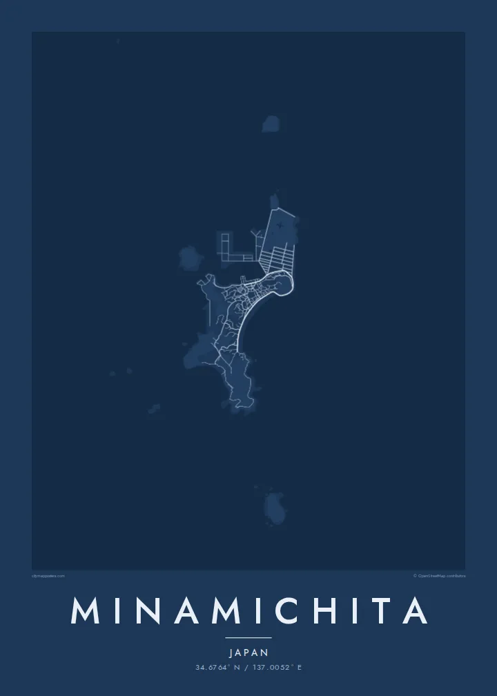
You can customise the title, subtitle and coordinates line with a name, a date or a short phrase in Japanese or English. Choose from Classic black & white, Noir, Paper, Blueprint and Sand. Blueprint makes the coastline especially clear.
订购 Minamichita 海报| 印刷尺寸 | 分辨率 | 文件 |
|---|---|---|
| 30 × 40 cm (11.8 × 15.7″) | 3,543 × 4,724 px | PNG · PDF |
| 29.7 × 42 cm (A3, 11.7 × 16.5″) | 3,508 × 4,961 px | PNG · PDF |
| 42 × 59.4 cm (A2, 16.5 × 23.4″) | 4,961 × 7,016 px | PNG · PDF |
| 45.7 × 61 cm (18 × 24″) | 5,400 × 7,200 px | PNG · PDF |
| 50 × 70 cm (19.7 × 27.6″) | 5,906 × 8,268 px | PNG · PDF |
| 61 × 91.4 cm (24 × 36″) | 7,200 × 10,800 px | PNG · PDF |
作为对比,免费预览图宽 900 px,带水印,仅适合屏幕查看。HD 文件在长宽方向上的分辨率最高可达其 8 倍,按完整海报尺寸印刷依然清晰。
在页面顶部选择一种风格,然后选择印刷海报——尺寸,如果需要还可以选装框——或者数字高清文件。结账只需一步,付款完成后订单页面会立即更新。
采用 200 克优质哑光纸印刷,共六种尺寸可选,从 30 × 40 cm 到 24 × 36″。印刷海报起价 $39,包邮。
可以。可选黑色、白色、原木色或深色实木相框,配防碎玻璃,开箱即挂。装框海报起价 $99,包邮。
全球包邮。每张海报由我们遍布 30 多个国家的合作印刷商中距离您最近的一家印制,通常 3–7 个工作日送达。您可以在“我的订单”中查看订单状态和物流跟踪。少数国家需要 2–5 周,暂未开通配送的地区,会在付款前在网站上提示您。
请在收货后 14 天内发送照片给我们,我们将免费为您重印或退款。
可以。在本页的编辑器中,可随意修改标题、副标题和坐标行,并选择风格和尺寸。印刷、装框和数字版订单都会完全按照您的设计制作。
只需 $9,即可获得全部六种尺寸的 300 DPI PNG 和适合印刷的 PDF 文件,无水印,可随意打印。还不确定?可以先下载带水印的免费预览版。
