The river confluence
The Saigon and Đồng Nai rivers merge here to form the Nhà Bè river. Two broad channels become one in a wide bend that dominates the upper part of the map.
极简地图海报 · 越南
10.6967° N / 106.7403° E
Low, water-laced ground on Ho Chi Minh City's southern edge, where great rivers meet and turn toward the sea


一座城市,五种风格
点击任意风格,即可预览上墙效果。所有风格价格相同——无论是印刷版、装框版还是高清文件。
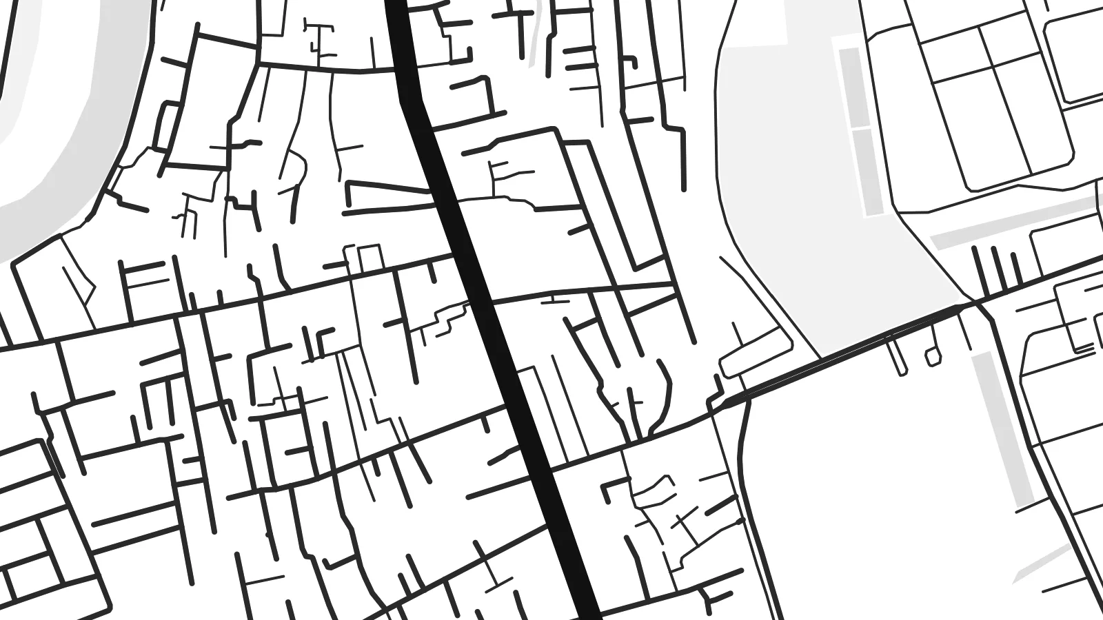 实际像素 · 24 × 36″ 印刷文件
印刷级清晰
这是真实印刷文件的 100% 局部放大图。每张海报——无论是印刷、装框还是下载——都在我们的服务器上以 300 DPI、最高 7,200 × 10,800 像素渲染,即使是最细的街道,在 24 × 36″ 的印刷品上依然清晰锐利。
上墙效果


关于地图
Nhà Bè lies at the southern edge of Ho Chi Minh City, and from above it looks more like water than land. Here the Saigon and Đồng Nai rivers join to form the Nhà Bè river. Just south, the wide channels of the Soài Rạp and Lòng Tàu begin their run toward the coast. The settled areas follow the embankments and main roads, and between them lie fingers of low, flat ground cut by creeks.
The street pattern is loose and practical. There is no old grid or walled core. Instead you see long roads running parallel to the riverbanks, short lanes branching off toward the water, and blocks of warehouses and industrial land toward the south. Small canals and tidal creeks weave through everything. On a Nhà Bè map poster they appear as fine, irregular threads between the heavier outlines of the main rivers.
The river confluence has long made this a place of shipping and trade. Vessels bound for the city's ports pass through these channels, and the area's industry still leans toward the water. On a monochrome print, the district's fragmented land and broad river bends make an unusual composition. It feels closer to a delta chart than to a city plan, which is exactly its character.
The Saigon and Đồng Nai rivers merge here to form the Nhà Bè river. Two broad channels become one in a wide bend that dominates the upper part of the map.
A dense web of small creeks and canals crosses the low ground between the main rivers. It produces a fine, hand-drawn texture that sets Nhà Bè apart from the denser inner districts.
To the south, the waterways open toward the Soài Rạp and the coast. Their long, widening lines carry the eye out of the frame and hint at the delta beyond.
专属定制
添加日期、名字或一句自己的话,还可切换风格、尺寸或方向。
免费预览为低分辨率并带水印。印刷品和高清文件均以 300 DPI、最高 7,200 × 10,800 px 渲染,且不带水印。
为什么选Nhà Bè
This map suits anyone who has lived, worked or grown up along Saigon's southern rivers, or anyone who likes maps where water leads the composition. The irregular shapes feel calm on a wall and pair well with plain interiors and natural materials.
You can personalise the title and subtitle, including Vietnamese diacritics, and use the coordinates line for a date or a home address. Five styles are available: Classic black & white, Noir, Paper, Blueprint and Sand. Noir makes the channels glow, and Sand gives the delta a warmer tone.
订购 Nhà Bè 海报| 印刷尺寸 | 分辨率 | 文件 |
|---|---|---|
| 30 × 40 cm11.8 × 15.7″ | 3,543 × 4,724 px | PNG · PDF |
| 29.7 × 42 cm (A3)11.7 × 16.5″ | 3,508 × 4,961 px | PNG · PDF |
| 42 × 59.4 cm (A2)16.5 × 23.4″ | 4,961 × 7,016 px | PNG · PDF |
| 45.7 × 61 cm18 × 24″ | 5,400 × 7,200 px | PNG · PDF |
| 50 × 70 cm19.7 × 27.6″ | 5,906 × 8,268 px | PNG · PDF |
| 61 × 91.4 cm24 × 36″ | 7,200 × 10,800 px | PNG · PDF |
作为对比,免费预览图宽 900 px,带水印,仅适合屏幕查看。HD 文件在长宽方向上的分辨率最高可达其 8 倍,按完整海报尺寸印刷依然清晰。
在页面顶部选择一种风格,然后选择印刷海报——尺寸,如果需要还可以选装框——或者数字高清文件。结账只需一步,付款完成后订单页面会立即更新。
采用 200 克优质哑光纸印刷,共六种尺寸可选,从 30 × 40 cm 到 24 × 36″。印刷海报起价 $39,包邮。
可以。可选黑色、白色、原木色或深色实木相框,配防碎玻璃,开箱即挂。装框海报起价 $99,包邮。
免运费配送至 60 多个国家。每张海报由我们在 30 多个国家的合作印刷商中距离您最近的一家印制,通常 3–7 个工作日送达。您可以在“我的订单”中查看订单状态和物流跟踪。少数国家需要 2–5 周;如果暂不支持配送到您所在的地区,网站会在付款前告知您。
请在收货后 14 天内发送照片给我们,我们将免费为您重印或退款。
可以。在本页的编辑器中,可随意修改标题、副标题和坐标行,并选择风格和尺寸。印刷、装框和数字版订单都会完全按照您的设计制作。
只需 $9,即可获得全部六种尺寸的 300 DPI PNG 和适合印刷的 PDF 文件,无水印,可随意打印。还不确定?可以先下载带水印的免费预览版。
