Mahakali River
The river runs through a deep valley and marks the border between Nepal and India, a narrow line between two towns on opposite banks.
ቀላል ንድፍ ያለው የካርታ ፖስተር · ኔፓል
29.8300° N / 80.5500° E
A Himalayan border town above the Mahakali, streets clinging to a steep bank facing its Indian twin across the river


አንድ ከተማ፣ አምስት ስሜቶች
ዘይቤ በመንካት በግድግዳ ላይ ይመልከቱት። ሁሉም ዘይቤዎች ተመሳሳይ ዋጋ አላቸው — የታተመ፣ በፍሬም የተደረገ ወይም እንደ HD ፋይል።
 ትክክለኛ ፒክሰሎች · 24 × 36″ የህትመት ፋይል
ለህትመት ጥርት ያለ
ይህ ከትክክለኛው የህትመት ፋይል 100% የተቆረጠ ክፍል ነው። እያንዳንዱ ፖስተር — የታተመ፣ በፍሬም የተደረገ ወይም የወረደ — በእኛ አገልጋዮች ላይ በ300 DPI፣ እስከ 7,200 × 10,800 ፒክሰሎች ይሠራል፣ ስለዚህ በ24 × 36″ ህትመት ላይ እንኳን ትንንሾቹ መንገዶች ግልጽ ሆነው ይቆያሉ።
በግድግዳ ላይ


ካርታው
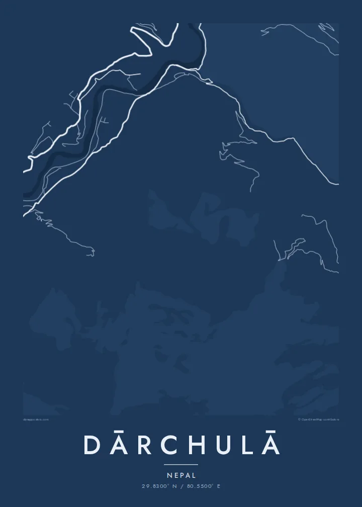
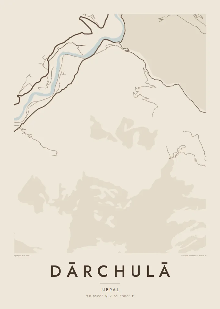
Dārchulā lies in the far west of Nepal, on the banks of the Mahakali River, which forms the border with India. The town is built into a steep valley slope, and the map shows its streets climbing the hillside in terraces, following the contours rather than forming a grid.
Across the river sits Dharchula in the Indian state of Uttarakhand, and the two towns face each other across the water, linked by a suspension bridge. On a map, the river appears as a narrow, fast-flowing line between two built-up banks, with steep mountains rising on both sides.
The Mahakali valley is part of an old route toward the Tibetan plateau and Mount Kailash, and the region has long been a crossing point for traders and pilgrims. A Dārchulā map poster captures a town shaped by mountains and a border, with the river at its centre.
The river runs through a deep valley and marks the border between Nepal and India, a narrow line between two towns on opposite banks.
A suspension bridge links Dārchulā with Dharchula in India, a short thin line across the river at the heart of the composition.
Streets and paths climb the steep slope in layers, their shapes following the contours of the mountainside above the river.
የራስዎ ያድርጉት
ቀን፣ ስም ወይም የራስዎን ጽሑፍ ያክሉ፤ ስታይልን፣ መጠንን ወይም አቅጣጫን ይቀይሩ።
ነፃው ቅድመ-እይታ ዝቅተኛ ጥራት ያለው እና የውሃ ምልክት ያለበት ነው። ህትመቶች እና HD ፋይሎች በ300 DPI፣ እስከ 7,200 × 10,800 px፣ ያለ ውሃ ምልክት ይሠራሉ።
ለምን Dārchulā
For people from Dārchulā, or those who have crossed the Mahakali on the way to the high Himalaya, this is a place that stays in the memory. A printed map is a quiet tribute to that valley.
Write a title in Nepali or English, add a subtitle and coordinates, and choose one of five styles. HD files cost $9 and include six print sizes as 300 DPI PNG and PDF, without a watermark.
የDārchulā ፖስተር ይዘዙ| የህትመት መጠን | ጥራት | ፋይሎች |
|---|---|---|
| 30 × 40 cm (11.8 × 15.7″) | 3,543 × 4,724 px | PNG · PDF |
| 29.7 × 42 cm (A3, 11.7 × 16.5″) | 3,508 × 4,961 px | PNG · PDF |
| 42 × 59.4 cm (A2, 16.5 × 23.4″) | 4,961 × 7,016 px | PNG · PDF |
| 45.7 × 61 cm (18 × 24″) | 5,400 × 7,200 px | PNG · PDF |
| 50 × 70 cm (19.7 × 27.6″) | 5,906 × 8,268 px | PNG · PDF |
| 61 × 91.4 cm (24 × 36″) | 7,200 × 10,800 px | PNG · PDF |
ለማነጻጸር፣ ነፃው ቅድመ እይታ 900 px ስፋት ያለው፣ የውሃ ምልክት ያለበት እና ለስክሪን የታሰበ ነው። HD ፋይሎቹ በእያንዳንዱ አቅጣጫ እስከ 8 እጥፍ ጥራት አላቸው፤ በሙሉ የፖስተር መጠንም በንጽህና ይታተማሉ።
በገጹ የላይኛው ክፍል ላይ ዘይቤ ይምረጡ፣ ከዚያም የታተመ ፖስተር — መጠን እና ካስፈለገ ፍሬም — ወይም ዲጂታል HD ፋይሎችን ይምረጡ። ክፍያው በአንድ ደረጃ ይጠናቀቃል፣ ክፍያው እንደተጠናቀቀ የትዕዛዝ ገጽዎ ወዲያውኑ ይዘምናል።
በስድስት መጠኖች ውስጥ በአንዱ፣ ከ30 × 40 ሴ.ሜ እስከ 24 × 36″ ባለ ከፍተኛ ጥራት 200 gsm ማት ወረቀት ላይ ይታተማል። የታተሙ ፖስተሮች ከ{printFrom} ጀምሮ ናቸው፣ ማጓጓዣን ጨምሮ።
አዎ። ጠንካራ የእንጨት ፍሬም በጥቁር፣ በነጭ፣ በተፈጥሯዊ ኦክ ወይም በጥቁር እንጨት ይምረጡ። የማይሰበር መስታወት ያለው ሲሆን ወዲያውኑ ለመስቀል ዝግጁ ነው። በፍሬም የተደረጉ ፖስተሮች ከ{framedFrom} ጀምሮ ናቸው፣ ማጓጓዣን ጨምሮ።
ማጓጓዣ በዓለም ዙሪያ ነፃ ነው። እያንዳንዱ ፖስተር ከ30+ ሀገራት በሚገኙ የህትመት አጋሮቻችን መካከል ቅርብ በሆነው ይታተምና በተለምዶ በ3–7 የስራ ቀናት ውስጥ ይደርሳል። ሁኔታውን እና ክትትሉን ከ«የእኔ ትዕዛዞች» ስር መከታተል ይችላሉ።
በደረሰ በ14 ቀናት ውስጥ ፎቶ ይላኩልን፣ በነፃ እንደግመዋለን ወይም ገንዘብዎን እንመልሳለን።
አዎ። በዚህ ገጽ ላይ ባለው አርታኢ ውስጥ፣ ርዕሱን፣ ንዑስ ርዕሱን እና የመጋጠሚያ መስመሩን እንደፈለጉት ይቀይሩ፣ ዘይቤ እና መጠን ይምረጡ። የታተሙ፣ በፍሬም የተደረጉ እና ዲጂታል ትዕዛዞች ሁሉም የእርስዎን ንድፍ በትክክል ይጠቀማሉ።
በ$9 በ300 DPI PNG እና ለህትመት ዝግጁ የሆኑ PDF ፋይሎችን በሁሉም ስድስት መጠኖች፣ ያለ ውሃ ምልክት፣ በየትኛውም ቦታ ለማተም ያገኛሉ። እርግጠኛ ካልሆኑ? መጀመሪያ ነፃ የውሃ ምልክት ያለበት ቅድመ-እይታ ያውርዱ።
