Northern villages
Nearly all settlement lies along the north coast and the slopes just behind it. On the poster, these small clusters form a short band of detail against the bare interior.
Мінімалістычны постар з картай · Грэцыя
35.3873° N / 26.9294° E
A steep, elongated island at the southern edge of the Dodecanese, with its villages gathered along the northern shore.


Адзін горад — пяць настрояў
Дакраніцеся да стылю, каб убачыць яго на сцяне. Усе стылі каштуюць аднолькава — друкаваны варыянт, у раме або HD-файлы.
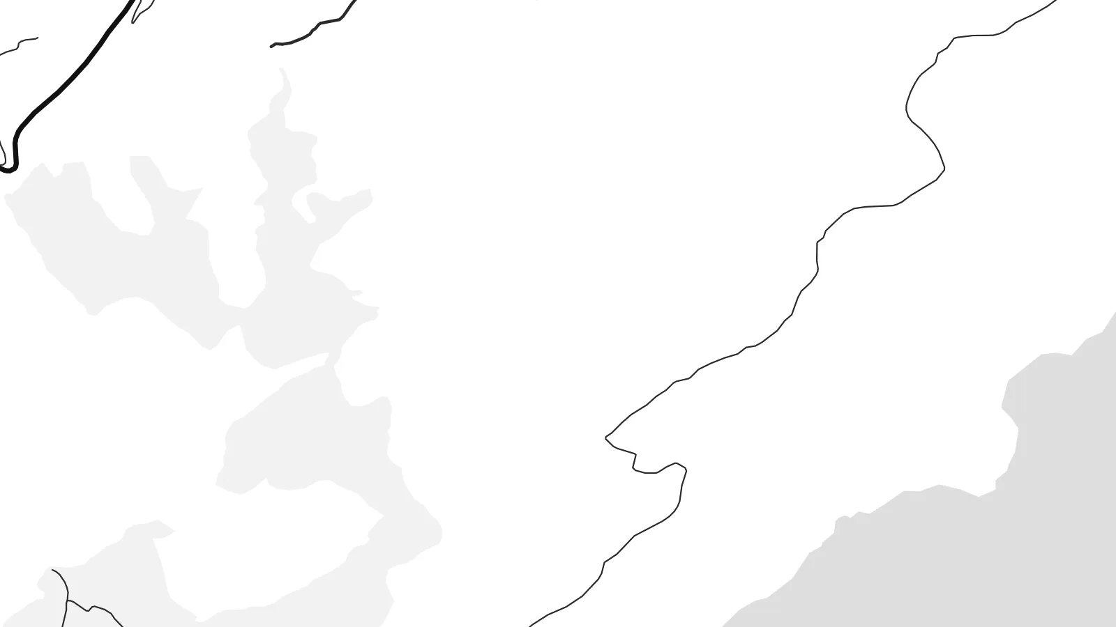 Рэальныя пікселі · файл для друку 24 × 36″
Выразна ў друку
Гэта 100% фрагмент сапраўднага файла для друку. Кожны постар — надрукаваны, у раме або спампаваны — рэндэрыцца на нашых серверах пры 300 DPI, да 7,200 × 10,800 пікселяў, таму нават самыя дробныя вулачкі застаюцца выразнымі пры друку 24 × 36″.
На сцяне


Карта
Kasos is the southernmost island of the Dodecanese, lying between Karpathos and the eastern tip of Crete. It is long and mountainous, its southern slopes dropping steeply into the sea with barely a road. Almost all of its settlements sit on the gentler northern side, grouped around the small port and capital, Fry, and a handful of villages just inland.
The island is remembered for a dark episode in 1824, during the Greek War of Independence, when an Egyptian fleet landed on Kasos and killed or enslaved much of its population. The anniversary is still marked every year. The island also has a long seafaring tradition, and over generations many Kasiots made their lives at sea or settled abroad.
A Kasos map poster shows a place that has stayed small and quiet. The composition is weighted heavily to the north, where short roads connect the villages, while the rest of the island is a broad, largely empty landmass. Offshore, small islets such as Armathia add a few scattered forms to the surrounding sea.
Nearly all settlement lies along the north coast and the slopes just behind it. On the poster, these small clusters form a short band of detail against the bare interior.
The capital, Fry, surrounds a small old harbour known as Bouka, a tiny enclosed basin. It is the most intricate point on the island's coastline.
The southern half of the island is steep and almost roadless. It appears on the map as a clean, open shape, which gives the poster its sense of space.
Зрабіце яго сваім
Дадайце дату, імя ці свой радок, змяніце стыль, памер або арыентацыю.
Бясплатны прэв'ю — нізкай якасці і з вадзяным знакам. Друкаваныя постары і HD-файлы рэндэрацца пры 300 DPI, да 7,200 × 10,800 пікселяў, без вадзянога знака.
Чаму Kasos
Kasos has deep family ties for many people, including those whose parents or grandparents left it. A poster of the island is a way to keep a distant home in view, or to remember a trip to a corner of Greece that few people reach.
Add a family name or village to the title, a date in the subtitle, and your own coordinates line. Choose from Classic black & white, Noir, Paper, Blueprint and Sand, and order a printed poster or download 300 DPI files for $9.
Замовіць постар Kasos| Памер друку | Раздзяляльнасць | Файлы |
|---|---|---|
| 30 × 40 cm (11.8 × 15.7″) | 3,543 × 4,724 px | PNG · PDF |
| 29.7 × 42 cm (A3, 11.7 × 16.5″) | 3,508 × 4,961 px | PNG · PDF |
| 42 × 59.4 cm (A2, 16.5 × 23.4″) | 4,961 × 7,016 px | PNG · PDF |
| 45.7 × 61 cm (18 × 24″) | 5,400 × 7,200 px | PNG · PDF |
| 50 × 70 cm (19.7 × 27.6″) | 5,906 × 8,268 px | PNG · PDF |
| 61 × 91.4 cm (24 × 36″) | 7,200 × 10,800 px | PNG · PDF |
Для параўнання: бясплатны прагляд мае шырыню 900 px, вадзяны знак і прызначаны для экранаў. HD-файлы маюць да 8× большую раздзяляльнасць па кожным баку і чыста друкуюцца ў поўным памеры постара.
Выберыце стыль уверсе старонкі, а потым — друкаваны постар (памер і, пры жаданні, раму) або лічбавыя HD-файлы. Афармленне заказу займае адзін крок, і старонка заказу абновіцца адразу пасля аплаты.
Ён друкуецца на прэміум матавай паперы 200 г/м² у адным з шасці памераў — ад 30 × 40 см да 24 × 36″. Друкаваныя постары каштуюць ад {printFrom}, дастаўка ўключана.
Так. Выберыце раму з масіву дрэва — чорную, белую, натуральны дуб або цёмнае дрэва. Яна пастаўляецца з ударамоцным шклом і гатовая да развешвання. Постары ў раме каштуюць ад {framedFrom}, дастаўка ўключана.
Дастаўка бясплатная ва ўсім свеце. Кожны плакат друкуецца ў бліжэйшага з нашых партнёраў-друкарняў у 30+ краінах і звычайна прыходзіць за 3–7 працоўных дзён. Статус і трэкінг можна адсочваць у раздзеле «Мае заказы». У некаторыя краіны дастаўка займае 2–5 тыдняў, а калі мы туды яшчэ не дастаўляем, сайт папярэдзіць вас да аплаты.
Дашліце нам фота на працягу 14 дзён пасля атрымання, і мы бясплатна надрукуем новы або вернем грошы.
Так. У рэдактары на гэтай старонцы зменіце загаловак, падзагаловак і радок з каардынатамі на што заўгодна, а таксама выберыце стыль і памер. Друкаваныя, у раме і лічбавыя заказы выкарыстоўваюць менавіта ваш дызайн.
За $9 вы атрымаеце PNG пры 300 DPI і гатовыя да друку PDF-файлы ва ўсіх шасці памерах, без вадзянога знака, для друку дзе заўгодна. Яшчэ не ўпэўненыя? Спачатку спампуйце бясплатны прэв'ю з вадзяным знакам.
Побач
