İstiklal Avenue
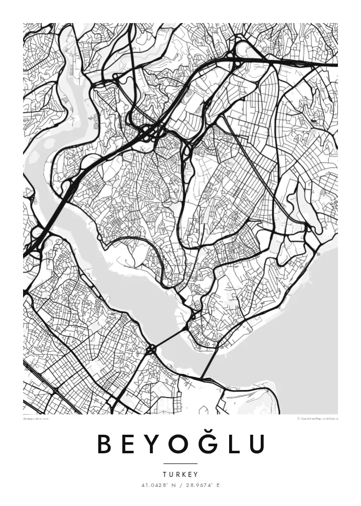
The pedestrian avenue from Taksim to Tünel follows the ridge in a long, slightly curving line. It is the clearest single stroke on the map.
Pòster de mapa minimalista · Turquia
41.0428° N / 28.9674° E
A hilly district above the Golden Horn and Bosphorus, with a pedestrian avenue running along the ridge from Taksim to Galata


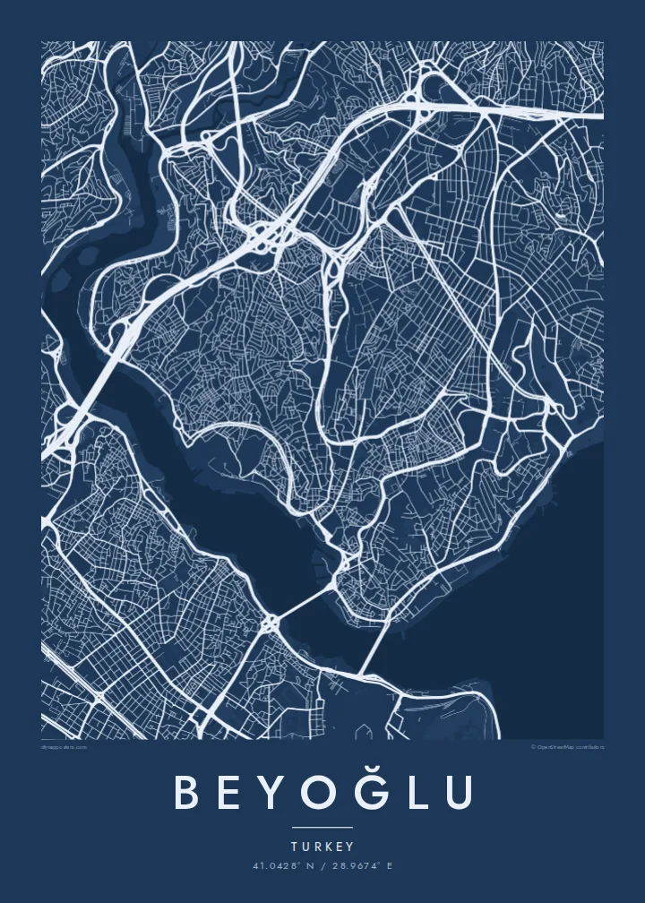

Una ciutat, cinc ambients
Toca un estil per veure com queda a la paret. Tots els estils tenen el mateix preu, ja sigui imprès, emmarcat o en fitxers HD.
 Píxels reals · fitxer d'impressió de 24 × 36″
Nitidesa d'impressió
Aquesta és una retallada al 100% del fitxer d'impressió real. Cada pòster —imprès, emmarcat o descarregat— es genera als nostres servidors a 300 DPI, fins a 7,200 × 10,800 píxels, de manera que fins i tot els carrers més petits es vegin nítids en una impressió de 24 × 36″.
A la paret


El mapa
Beyoğlu covers the high ground north of the Golden Horn, where the land rises steeply from the water to a long ridge. The streets follow that terrain. Short, steep lanes and stairways drop down towards Karaköy and the Bosphorus shore, while the main avenue runs along the top. On the map, the district looks like a spine with ribs.
That spine is İstiklal Avenue, a pedestrian street about a kilometre and a half long. It links Taksim Square at the northern end to Tünel near the Galata Tower. A red heritage tram runs along it. At the southern end, the Tünel funicular, opened in 1875, carries passengers down the slope to Karaköy and is one of the oldest underground railways in the world.
Once known as Pera, the district was home to embassies, merchants and a large non-Muslim population in the late Ottoman period. Many of its apartment buildings and arcades date from that time. A Beyoğlu map poster shows how steep ground, a single strong avenue and two bodies of water shaped one of Istanbul's most distinctive districts.
The pedestrian avenue from Taksim to Tünel follows the ridge in a long, slightly curving line. It is the clearest single stroke on the map.
The medieval stone tower stands on the southern slope above Karaköy. It marks the point where the district begins its descent to the Golden Horn.
Short, steep streets and flights of steps connect the ridge to the waterfront, giving the map a dense, fine-grained texture on its southern and eastern edges.
Fes-lo teu
Afegeix una data, un nom o una frase pròpia, i canvia l'estil, la mida o l'orientació.
La previsualització gratuïta és de baixa resolució i porta marca d'aigua. Les impressions i els fitxers HD es generen a 300 DPI, fins a 7,200 × 10,800 px, sense marca d'aigua.
Per què Beyoğlu
Beyoğlu is where many people lived their Istanbul years, whether as students, new arrivals or night owls. A map of its ridge and slopes holds those streets together more faithfully than any photograph.
Personalise the title and subtitle with a date, an address or a line of your own. Choose one of five styles. Noir suits the district's late evenings, while Paper gives it the look of an old city plan.
Demana el pòster de Beyoğlu| Mida d'impressió | Resolució | Fitxers |
|---|---|---|
| 30 × 40 cm (11.8 × 15.7″) | 3,543 × 4,724 px | PNG · PDF |
| 29.7 × 42 cm (A3, 11.7 × 16.5″) | 3,508 × 4,961 px | PNG · PDF |
| 42 × 59.4 cm (A2, 16.5 × 23.4″) | 4,961 × 7,016 px | PNG · PDF |
| 45.7 × 61 cm (18 × 24″) | 5,400 × 7,200 px | PNG · PDF |
| 50 × 70 cm (19.7 × 27.6″) | 5,906 × 8,268 px | PNG · PDF |
| 61 × 91.4 cm (24 × 36″) | 7,200 × 10,800 px | PNG · PDF |
Per comparar, la previsualització gratuïta fa 900 px d'amplada, porta marca d'aigua i està pensada per a pantalles. Els fitxers HD tenen fins a 8 vegades més resolució en cada direcció i s'imprimeixen perfectament a mida de pòster completa.
Tria un estil a la part superior de la pàgina i, després, selecciona Pòster imprès —una mida i, si vols, un marc— o Fitxers digitals HD. El pagament es fa en un sol pas i la pàgina de la teva comanda s'actualitza tan bon punt es confirma el pagament.
S'imprimeix en paper mat premium de 200 g/m² en una de sis mides, des de 30 × 40 cm fins a 24 × 36″. Els pòsters impresos comencen a {printFrom}, amb l'enviament inclòs.
Sí. Tria un marc de fusta massissa en negre, blanc, roure natural o fusta fosca. Inclou un vidre irrompible i està llest per penjar. Els pòsters emmarcats comencen a {framedFrom}, amb l'enviament inclòs.
L'enviament és gratuït a tot el món. Cada pòster s'imprimeix al soci d'impressió més proper d'entre més de 30 països i normalment arriba en 3–7 dies laborables. Pots seguir l'estat i el seguiment a Les meves comandes.
Envia'ns una foto dins dels 14 dies posteriors a la recepció i te'l tornarem a imprimir gratuïtament o et retornarem els diners.
Sí. A l'editor d'aquesta pàgina pots canviar el títol, el subtítol i la línia de coordenades pel que vulguis, i triar un estil i una mida. Les comandes impreses, emmarcades i digitals fan servir exactament el teu disseny.
Per $9 obtens fitxers PNG a 300 DPI i PDF llestos per imprimir en les sis mides, sense marca d'aigua, per imprimir on vulguis. Encara no ho tens clar? Descarrega abans una previsualització gratuïta amb marca d'aigua.
A prop
