Rounded outline
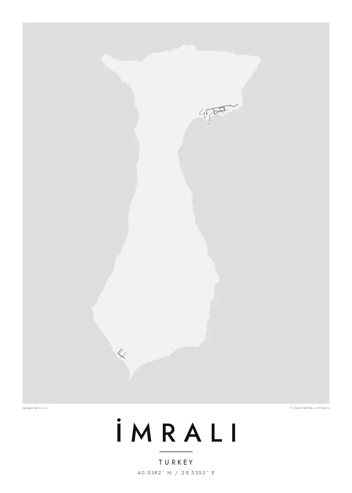
The island's coast is smooth and only lightly indented. The map shows a compact, soft-edged form surrounded by a wide stretch of open water.
Pòster de mapa minimalista · Turquia
40.5382° N / 28.5352° E
A compact, hilly island in the southern Sea of Marmara, with a smooth coastline and few marked features.


Una ciutat, cinc ambients
Toca un estil per veure com queda a la paret. Tots els estils tenen el mateix preu, ja sigui imprès, emmarcat o en fitxers HD.
 Píxels reals · fitxer d'impressió de 24 × 36″
Nitidesa d'impressió
Aquesta és una retallada al 100% del fitxer d'impressió real. Cada pòster —imprès, emmarcat o descarregat— es genera als nostres servidors a 300 DPI, fins a 7,200 × 10,800 píxels, de manera que fins i tot els carrers més petits es vegin nítids en una impressió de 24 × 36″.
A la paret


El mapa
İmralı lies in the southern Sea of Marmara, near the mouth of the Gulf of Gemlik and within sight of the Bursa coastline. On a map it is a small, rounded island with a gently curving outline and a hilly interior. It has almost no marked roads or settlements. Its shape is simple, closer to a pebble than to the jagged islands of the Aegean.
The island has served as a prison since the 1930s, and access has long been limited to the authorities. Since 1999 it has held Abdullah Öcalan, which has made the name widely known in Turkey and abroad. The island therefore stays largely closed to visitors, and maps show few details of its interior.
From the Marmara coast it sits low on the horizon between the mainland and open water. An İmralı map poster treats the island purely as geography: a clean outline in the sea, with the surrounding coast and water giving scale to a place better known by name than by sight.
The island's coast is smooth and only lightly indented. The map shows a compact, soft-edged form surrounded by a wide stretch of open water.
The island lies near the mouth of the Gulf of Gemlik, between the southern coast and the open sea, which frames it clearly on the page.
Access is restricted and there has been little development, so the interior carries few roads or buildings. The hills alone define the map.
Fes-lo teu
Afegeix una data, un nom o una frase pròpia, i canvia l'estil, la mida o l'orientació.
La previsualització gratuïta és de baixa resolució i porta marca d'aigua. Les impressions i els fitxers HD es generen a 300 DPI, fins a 7,200 × 10,800 px, sense marca d'aigua.
Per què İmralı
Some people want the island for its place in modern Turkish history, others simply for its shape in the Marmara. Either way the print is restrained and neutral, a piece of geography rather than a statement on the wall.
Change the title and subtitle to suit your purpose, keep the coordinates line, and pick from five styles, such as Classic black & white or Paper. The free watermarked preview lets you check the framing before you choose files or a print.
Demana el pòster de İmralı| Mida d'impressió | Resolució | Fitxers |
|---|---|---|
| 30 × 40 cm (11.8 × 15.7″) | 3,543 × 4,724 px | PNG · PDF |
| 29.7 × 42 cm (A3, 11.7 × 16.5″) | 3,508 × 4,961 px | PNG · PDF |
| 42 × 59.4 cm (A2, 16.5 × 23.4″) | 4,961 × 7,016 px | PNG · PDF |
| 45.7 × 61 cm (18 × 24″) | 5,400 × 7,200 px | PNG · PDF |
| 50 × 70 cm (19.7 × 27.6″) | 5,906 × 8,268 px | PNG · PDF |
| 61 × 91.4 cm (24 × 36″) | 7,200 × 10,800 px | PNG · PDF |
Per comparar, la previsualització gratuïta fa 900 px d'amplada, porta marca d'aigua i està pensada per a pantalles. Els fitxers HD tenen fins a 8 vegades més resolució en cada direcció i s'imprimeixen perfectament a mida de pòster completa.
Tria un estil a la part superior de la pàgina i, després, selecciona Pòster imprès —una mida i, si vols, un marc— o Fitxers digitals HD. El pagament es fa en un sol pas i la pàgina de la teva comanda s'actualitza tan bon punt es confirma el pagament.
S'imprimeix en paper mat premium de 200 g/m² en una de sis mides, des de 30 × 40 cm fins a 24 × 36″. Els pòsters impresos comencen a {printFrom}, amb l'enviament inclòs.
Sí. Tria un marc de fusta massissa en negre, blanc, roure natural o fusta fosca. Inclou un vidre irrompible i està llest per penjar. Els pòsters emmarcats comencen a {framedFrom}, amb l'enviament inclòs.
L'enviament és gratuït a tot el món. Cada pòster s'imprimeix al soci d'impressió més proper d'entre més de 30 països i normalment arriba en 3–7 dies laborables. Pots seguir l'estat i el seguiment a Les meves comandes.
Envia'ns una foto dins dels 14 dies posteriors a la recepció i te'l tornarem a imprimir gratuïtament o et retornarem els diners.
Sí. A l'editor d'aquesta pàgina pots canviar el títol, el subtítol i la línia de coordenades pel que vulguis, i triar un estil i una mida. Les comandes impreses, emmarcades i digitals fan servir exactament el teu disseny.
Per $9 obtens fitxers PNG a 300 DPI i PDF llestos per imprimir en les sis mides, sense marca d'aigua, per imprimir on vulguis. Encara no ho tens clar? Descarrega abans una previsualització gratuïta amb marca d'aigua.
