Old town oval
Rinteln's historic centre forms a compact oval by the Weser, and its outline still traces the line of the former town fortifications.
Pòster de mapa minimalista · Alemanya
52.1860° N / 9.0792° E
A Weser town with a compact, walled-shaped old centre on the river, framed by forested hills on both banks.


Una ciutat, cinc ambients
Toca un estil per veure com queda a la paret. Tots els estils tenen el mateix preu, ja sigui imprès, emmarcat o en fitxers HD.
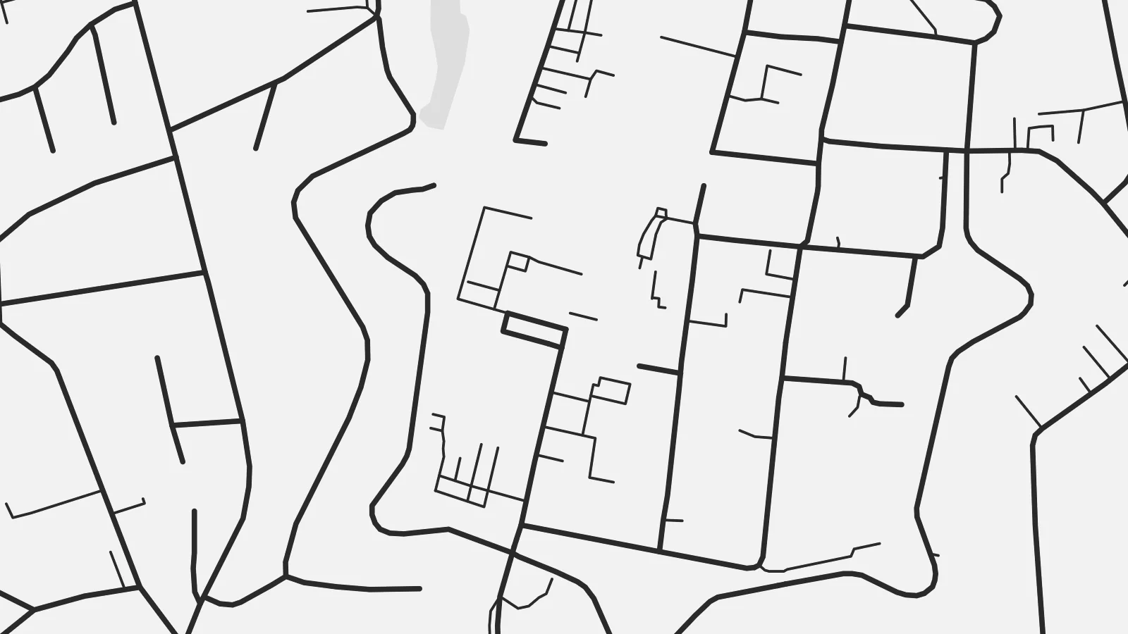 Píxels reals · fitxer d'impressió de 24 × 36″
Nitidesa d'impressió
Aquesta és una retallada al 100% del fitxer d'impressió real. Cada pòster —imprès, emmarcat o descarregat— es genera als nostres servidors a 300 DPI, fins a 7,200 × 10,800 píxels, de manera que fins i tot els carrers més petits es vegin nítids en una impressió de 24 × 36″.
A la paret


El mapa
Rinteln lies on the Weser in the Schaumburg district of Lower Saxony, in a broad valley between the Weser Uplands and the hills of the Wesergebirge. From above, the old town is a compact oval on the south bank of the river. The shape of its former fortifications can still be read in the street pattern around it, with the market square at the centre.
For nearly two centuries, from 1621 to 1810, Rinteln was home to a university, and the old centre has fine examples of Weser Renaissance architecture. Across the river, newer districts and the railway extend along the valley floor, while forested slopes close off the view to the north and south.
A Rinteln map poster brings together the curve of the Weser, the neat outline of the historic core and the wooded hills around it. It is a small town with a clear structure, and the old centre stands out well at every print size.
Rinteln's historic centre forms a compact oval by the Weser, and its outline still traces the line of the former town fortifications.
The river runs past the old town in a broad curve, and the bridge connecting both banks is a clear focal point of the map.
Forested hills rise on both sides of the valley and frame the town, giving the composition a natural border to the north and south.
Fes-lo teu
Afegeix una data, un nom o una frase pròpia, i canvia l'estil, la mida o l'orientació.
La previsualització gratuïta és de baixa resolució i porta marca d'aigua. Les impressions i els fitxers HD es generen a 300 DPI, fins a 7,200 × 10,800 px, sense marca d'aigua.
Per què Rinteln
For people from the Weser valley, former students and anyone who has cycled the Weser route, this map of Rinteln carries a clear sense of place. The historic core makes it a handsome, balanced picture.
Personalise the title and subtitle with a name or date, and edit the coordinates line. Choose from five styles, from Classic black & white to Blueprint. Buy it as a $9 digital file or a printed poster shipped from a nearby partner.
Demana el pòster de Rinteln| Mida d'impressió | Resolució | Fitxers |
|---|---|---|
| 30 × 40 cm (11.8 × 15.7″) | 3,543 × 4,724 px | PNG · PDF |
| 29.7 × 42 cm (A3, 11.7 × 16.5″) | 3,508 × 4,961 px | PNG · PDF |
| 42 × 59.4 cm (A2, 16.5 × 23.4″) | 4,961 × 7,016 px | PNG · PDF |
| 45.7 × 61 cm (18 × 24″) | 5,400 × 7,200 px | PNG · PDF |
| 50 × 70 cm (19.7 × 27.6″) | 5,906 × 8,268 px | PNG · PDF |
| 61 × 91.4 cm (24 × 36″) | 7,200 × 10,800 px | PNG · PDF |
Per comparar, la previsualització gratuïta fa 900 px d'amplada, porta marca d'aigua i està pensada per a pantalles. Els fitxers HD tenen fins a 8 vegades més resolució en cada direcció i s'imprimeixen perfectament a mida de pòster completa.
Tria un estil a la part superior de la pàgina i, després, selecciona Pòster imprès —una mida i, si vols, un marc— o Fitxers digitals HD. El pagament es fa en un sol pas i la pàgina de la teva comanda s'actualitza tan bon punt es confirma el pagament.
S'imprimeix en paper mat premium de 200 g/m² en una de sis mides, des de 30 × 40 cm fins a 24 × 36″. Els pòsters impresos comencen a {printFrom}, amb l'enviament inclòs.
Sí. Tria un marc de fusta massissa en negre, blanc, roure natural o fusta fosca. Inclou un vidre irrompible i està llest per penjar. Els pòsters emmarcats comencen a {framedFrom}, amb l'enviament inclòs.
L'enviament és gratuït a tot el món. Cada pòster s'imprimeix al soci d'impressió més proper d'entre més de 30 països i normalment arriba en 3–7 dies laborables. Pots seguir l'estat i el seguiment a Les meves comandes.
Envia'ns una foto dins dels 14 dies posteriors a la recepció i te'l tornarem a imprimir gratuïtament o et retornarem els diners.
Sí. A l'editor d'aquesta pàgina pots canviar el títol, el subtítol i la línia de coordenades pel que vulguis, i triar un estil i una mida. Les comandes impreses, emmarcades i digitals fan servir exactament el teu disseny.
Per $9 obtens fitxers PNG a 300 DPI i PDF llestos per imprimir en les sis mides, sense marca d'aigua, per imprimir on vulguis. Encara no ho tens clar? Descarrega abans una previsualització gratuïta amb marca d'aigua.
