Lake Tanganyika shore
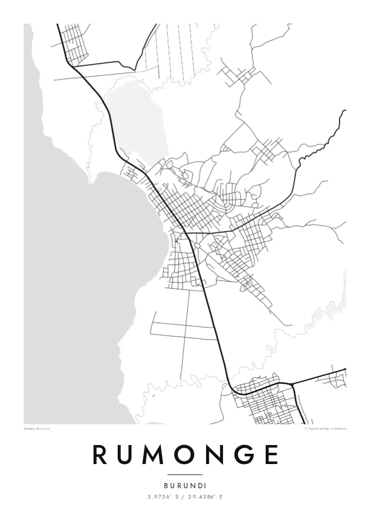
The lakeshore runs along one side of the town, and the open water fills a large calm area of the print.
Pòster de mapa minimalista · Burundi
3.9736° S / 29.4386° E
A lakeshore town on Burundi's stretch of Lake Tanganyika, its streets squeezed between the water and the green hills.
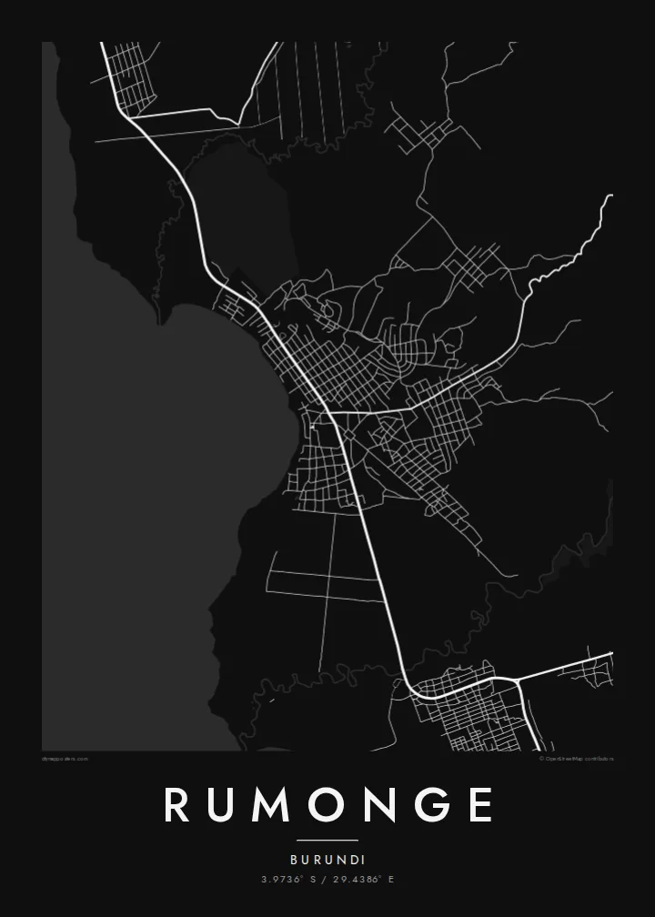


Una ciutat, cinc ambients
Toca un estil per veure com queda a la paret. Tots els estils tenen el mateix preu, ja sigui imprès, emmarcat o en fitxers HD.
 Píxels reals · fitxer d'impressió de 24 × 36″
Nitidesa d'impressió
Aquesta és una retallada al 100% del fitxer d'impressió real. Cada pòster —imprès, emmarcat o descarregat— es genera als nostres servidors a 300 DPI, fins a 7,200 × 10,800 píxels, de manera que fins i tot els carrers més petits es vegin nítids en una impressió de 24 × 36″.
A la paret


El mapa
Rumonge lies on the eastern shore of Lake Tanganyika in southwestern Burundi. The map is framed by two strong elements: the long straight shoreline on one side, and on the other the hills that rise steeply behind the town. The streets and the main coastal road run along the narrow strip of land between them.
The town is known for its oil palm plantations and for fishing on the lake, and it became the capital of the new Rumonge Province in 2015. Lake Tanganyika, one of the deepest lakes in the world, stretches out to the west toward the mountains of DR Congo on the far shore.
A Rumonge map poster places a small town between a vast body of water and green, rising land. The lake takes up a large clean area of the sheet, and the town is a thin band of streets along the shore. It is a simple print with a strong horizon.
The lakeshore runs along one side of the town, and the open water fills a large calm area of the print.
The main road follows the shoreline and ties the town to the rest of the lake coast.
Steep hills rise inland, which keeps the built-up area in a narrow strip along the water.
Fes-lo teu
Afegeix una data, un nom o una frase pròpia, i canvia l'estil, la mida o l'orientació.
La previsualització gratuïta és de baixa resolució i porta marca d'aigua. Les impressions i els fitxers HD es generen a 300 DPI, fins a 7,200 × 10,800 px, sense marca d'aigua.
Per què Rumonge
For Burundians at home and abroad, Rumonge means the lake, fishing boats and palm groves. A map of the town is a calm way to bring that shoreline into a room far from the water.
The title, subtitle and coordinates line can be personalised, and there are five styles: Classic black & white, Noir, Paper, Blueprint and Sand. HD files cost $9 in six sizes, and a free watermarked preview lets you check the result first.
Demana el pòster de Rumonge| Mida d'impressió | Resolució | Fitxers |
|---|---|---|
| 30 × 40 cm (11.8 × 15.7″) | 3,543 × 4,724 px | PNG · PDF |
| 29.7 × 42 cm (A3, 11.7 × 16.5″) | 3,508 × 4,961 px | PNG · PDF |
| 42 × 59.4 cm (A2, 16.5 × 23.4″) | 4,961 × 7,016 px | PNG · PDF |
| 45.7 × 61 cm (18 × 24″) | 5,400 × 7,200 px | PNG · PDF |
| 50 × 70 cm (19.7 × 27.6″) | 5,906 × 8,268 px | PNG · PDF |
| 61 × 91.4 cm (24 × 36″) | 7,200 × 10,800 px | PNG · PDF |
Per comparar, la previsualització gratuïta fa 900 px d'amplada, porta marca d'aigua i està pensada per a pantalles. Els fitxers HD tenen fins a 8 vegades més resolució en cada direcció i s'imprimeixen perfectament a mida de pòster completa.
Tria un estil a la part superior de la pàgina i, després, selecciona Pòster imprès —una mida i, si vols, un marc— o Fitxers digitals HD. El pagament es fa en un sol pas i la pàgina de la teva comanda s'actualitza tan bon punt es confirma el pagament.
S'imprimeix en paper mat premium de 200 g/m² en una de sis mides, des de 30 × 40 cm fins a 24 × 36″. Els pòsters impresos comencen a {printFrom}, amb l'enviament inclòs.
Sí. Tria un marc de fusta massissa en negre, blanc, roure natural o fusta fosca. Inclou un vidre irrompible i està llest per penjar. Els pòsters emmarcats comencen a {framedFrom}, amb l'enviament inclòs.
L'enviament és gratuït a tot el món. Cada pòster s'imprimeix al soci d'impressió més proper d'entre més de 30 països i normalment arriba en 3–7 dies laborables. Pots seguir l'estat i el seguiment a Les meves comandes.
Envia'ns una foto dins dels 14 dies posteriors a la recepció i te'l tornarem a imprimir gratuïtament o et retornarem els diners.
Sí. A l'editor d'aquesta pàgina pots canviar el títol, el subtítol i la línia de coordenades pel que vulguis, i triar un estil i una mida. Les comandes impreses, emmarcades i digitals fan servir exactament el teu disseny.
Per $9 obtens fitxers PNG a 300 DPI i PDF llestos per imprimir en les sis mides, sense marca d'aigua, per imprimir on vulguis. Encara no ho tens clar? Descarrega abans una previsualització gratuïta amb marca d'aigua.
A prop
