The Nile
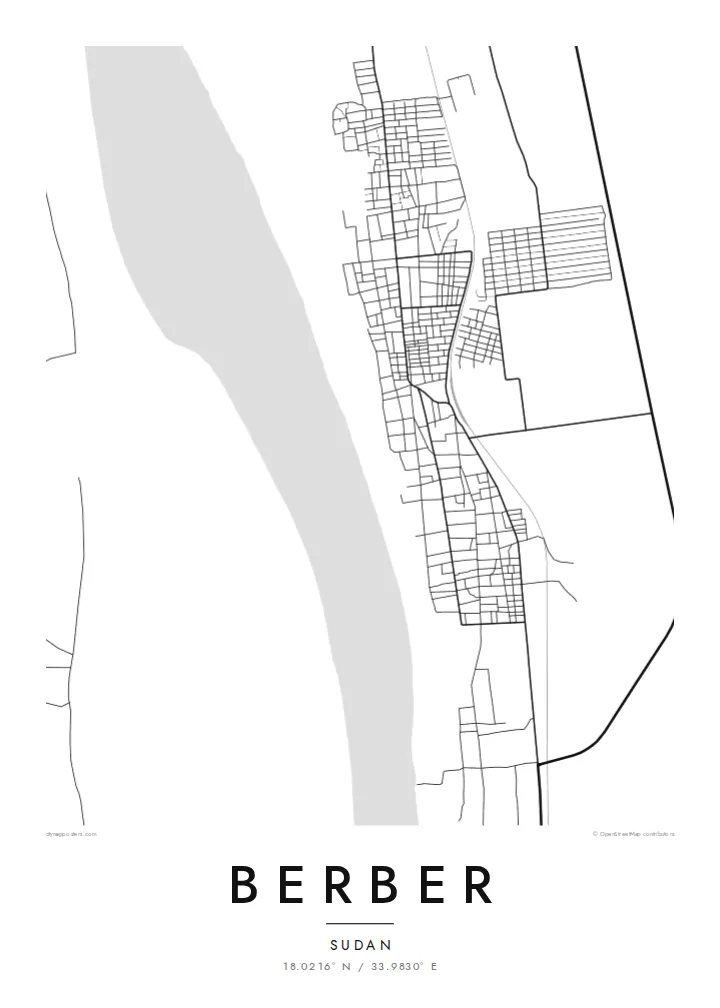
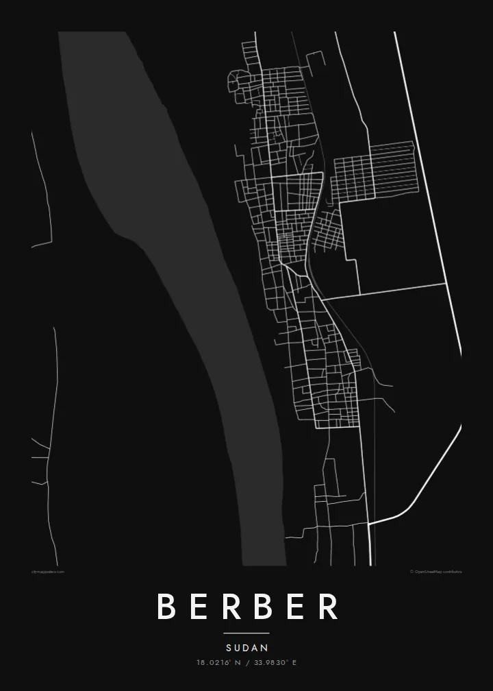
The river runs along the western edge of the town, its broad course and islands forming the map's dominant natural feature and the reason the town exists.
极简地图海报 · 苏丹
18.0216° N / 33.9830° E
A Nile town in northern Sudan, a narrow band of streets and fields between the river and the desert.


一座城市,五种氛围
点击风格,即可预览效果。所有风格价格相同——无论印刷、装框还是 HD 文件。
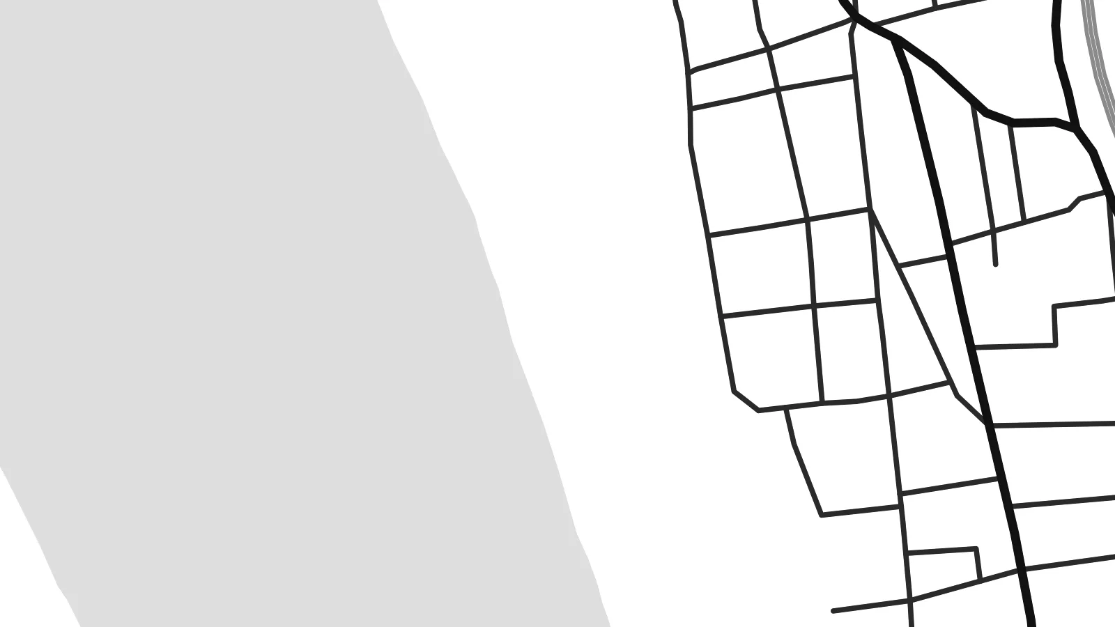 实际像素 · 24 × 36″ 印刷文件
印刷级清晰
这是真实印刷文件的 100% 局部截图。每张海报——无论印刷、装框还是下载——都在我们的服务器上以 300 DPI、最高 7,200 × 10,800 像素渲染,即使 24 × 36″ 印刷尺寸下最细的线条也清晰锐利。
上墙效果


关于地图
Berber lies on the east bank of the Nile in River Nile state, in northern Sudan, a short distance north of the river's confluence with the Atbara. From above, the town forms a narrow strip along the river, with a band of cultivated land close to the water and open desert beginning abruptly beyond it. That sharp contrast is the defining feature of the map.
Historically, Berber was an important trading town and the starting point of a caravan route across the desert to Suakin on the Red Sea coast. That role made it a significant link between the Nile valley and the sea for centuries, before railways changed the patterns of trade in the region.
A Berber map poster shows a place defined by water and desert: the curve of the Nile, the thin green belt of fields along its banks, and the town stretched between them. It is a spare and powerful composition that works particularly well in minimalist black and white.
The river runs along the western edge of the town, its broad course and islands forming the map's dominant natural feature and the reason the town exists.
A narrow strip of farmland follows the river, marked by irrigation channels and field boundaries, contrasting with the open desert just beyond.
Berber stretches along the river rather than spreading outward, giving the map an elongated shape shaped by access to water and the old trade routes.
专属定制
添加日期、名字或一句你自己的话,还可切换风格、尺寸或方向。
免费预览图为低分辨率且带水印。印刷版和 HD 文件以 300 DPI、最高 7,200 × 10,800 px 渲染,无水印。
为什么选 Berber
For people with roots in the Nile valley, a map of Berber is a clear and personal connection to a historic town. The contrast between river and desert gives it a striking visual presence on any wall.
The title, subtitle and coordinates line can be personalised with a family name or a date, and five styles are available. Sand evokes the desert setting, while Noir makes the river a strong dark line.
订购 Berber 海报| 印刷尺寸 | 分辨率 | 文件 |
|---|---|---|
| 30 × 40 cm (11.8 × 15.7″) | 3,543 × 4,724 px | PNG · PDF |
| 29.7 × 42 cm (A3, 11.7 × 16.5″) | 3,508 × 4,961 px | PNG · PDF |
| 42 × 59.4 cm (A2, 16.5 × 23.4″) | 4,961 × 7,016 px | PNG · PDF |
| 45.7 × 61 cm (18 × 24″) | 5,400 × 7,200 px | PNG · PDF |
| 50 × 70 cm (19.7 × 27.6″) | 5,906 × 8,268 px | PNG · PDF |
| 61 × 91.4 cm (24 × 36″) | 7,200 × 10,800 px | PNG · PDF |
作为对比,免费预览图宽 900 px,带水印,仅适合屏幕浏览。HD 文件在每个方向上的分辨率最高可达其 8 倍,印成全尺寸海报依然清晰。
在页面顶部选择一款风格,然后选择「印刷海报」——选定尺寸,如需要还可加装相框——或选择「数字 HD 文件」。结账只需一步,付款完成后订单页面会立即更新。
采用优质 200 gsm 磨砂纸印刷,提供六种尺寸,从 30 × 40 cm 到 24 × 36″。印刷海报起价 {printFrom},包邮。
可以。可选实木相框,颜色有黑色、白色、原木橡木色或深木色。配防碎玻璃,到手即可挂墙。装框海报起价 {framedFrom},包邮。
全球包邮。每张海报由我们在 30 多个国家的合作印刷厂中离你最近的一家印制,通常 3–7 个工作日送达。你可以在“我的订单”中查看订单状态和物流跟踪。少数国家需要 2–5 周;暂不支持配送的国家,网站会在你付款前提示。
请在收货后 14 天内发给我们照片,我们会免费重印或全额退款。
可以。在本页的编辑器中,可以随意修改标题、副标题和坐标行,并选择风格和尺寸。印刷、装框和数字版订单都会完全按照你的设计制作。
只需 $9,即可获得全部六种尺寸的 300 DPI PNG 和可直接印刷的 PDF 文件,无水印,随处可印。还不确定?可以先下载免费的带水印预览图。
