The two islands
Île de la Cité and Île Saint-Louis sit in the Seine at the heart of the map, with Notre-Dame at the eastern end of the larger island and bridges stitching both to either bank.
极简地图海报 · 法国
48.8534° N / 2.3488° E
A city drawn in concentric rings around a curving river, its grand boulevards cutting straight lines through the older, tighter weave.
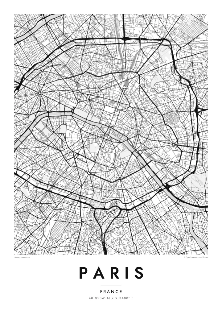
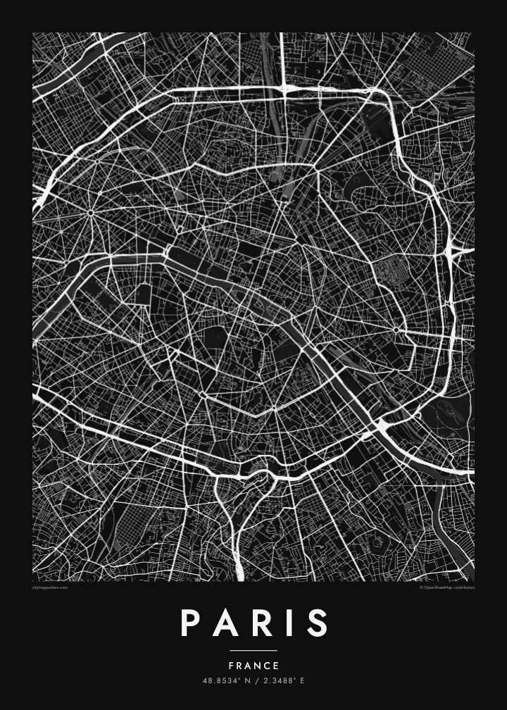
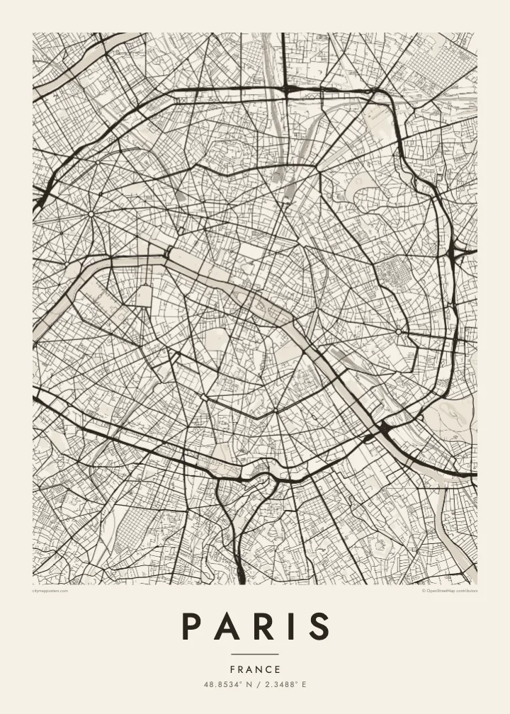

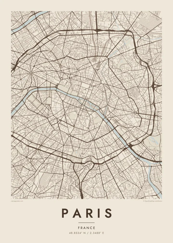
一座城市,五种氛围
点击风格,即可预览效果。所有风格价格相同——无论印刷、装框还是 HD 文件。
 实际像素 · 24 × 36″ 印刷文件
印刷级清晰
这是真实印刷文件的 100% 局部截图。每张海报——无论印刷、装框还是下载——都在我们的服务器上以 300 DPI、最高 7,200 × 10,800 像素渲染,即使 24 × 36″ 印刷尺寸下最细的线条也清晰锐利。
上墙效果


关于地图
From above, Paris is organised around a river that refuses to run straight. The Seine enters from the southeast, bends in a long arc and leaves to the southwest, with the Île de la Cité and the Île Saint-Louis anchored in the middle like two moored boats. Everything else seems to orbit that pair of islands, where the city began as a small settlement on the water.
The twenty arrondissements make the orbit literal. They are numbered in a clockwise spiral from the centre, curling outward like a snail shell until the sequence meets the Boulevard Périphérique, the ring road that marks the city limit with unusual precision. Inside that loop, a Paris map poster shows two textures at once: the dense, irregular lanes of the medieval core and the long diagonal cuts laid over them.
Those cuts are the work of Baron Haussmann, who remade the city for Napoleon III in the mid nineteenth century. His boulevards meet at star-shaped squares, most famously the Place Charles de Gaulle, where twelve avenues radiate from the Arc de Triomphe. At the edges, the Bois de Boulogne to the west and the Bois de Vincennes to the east sit like two large, pale lungs.
Île de la Cité and Île Saint-Louis sit in the Seine at the heart of the map, with Notre-Dame at the eastern end of the larger island and bridges stitching both to either bank.
Twelve avenues leave the Arc de Triomphe in every direction, producing the most recognisable star on any European street map and the clearest reading of Haussmann's plan for the city.
The ring road follows the line of the city's last fortifications, giving Paris a sharp, almost oval border that frames the poster and separates the city proper from its suburbs.
专属定制
添加日期、名字或一句你自己的话,还可切换风格、尺寸或方向。
免费预览图为低分辨率且带水印。印刷版和 HD 文件以 300 DPI、最高 7,200 × 10,800 px 渲染,无水印。
为什么选 Paris
Paris is often the first city people fall for, and a street map holds that feeling without leaning on postcard images. It suits the flat above a café you still miss, the arrondissement where you studied for a year, or a weekend that turned into a proposal somewhere along the quais.
Add your own title and a date that matters, whether it marks a move, an anniversary or the year you left, then choose from five styles: Classic black & white, Noir, Paper, Blueprint or Sand. Each keeps the lines crisp, so the spiral of the arrondissements reads clearly from across the room.
订购 Paris 海报| 印刷尺寸 | 分辨率 | 文件 |
|---|---|---|
| 30 × 40 cm (11.8 × 15.7″) | 3,543 × 4,724 px | PNG · PDF |
| 29.7 × 42 cm (A3, 11.7 × 16.5″) | 3,508 × 4,961 px | PNG · PDF |
| 42 × 59.4 cm (A2, 16.5 × 23.4″) | 4,961 × 7,016 px | PNG · PDF |
| 45.7 × 61 cm (18 × 24″) | 5,400 × 7,200 px | PNG · PDF |
| 50 × 70 cm (19.7 × 27.6″) | 5,906 × 8,268 px | PNG · PDF |
| 61 × 91.4 cm (24 × 36″) | 7,200 × 10,800 px | PNG · PDF |
作为对比,免费预览图宽 900 px,带水印,仅适合屏幕浏览。HD 文件在每个方向上的分辨率最高可达其 8 倍,印成全尺寸海报依然清晰。
在页面顶部选择一款风格,然后选择「印刷海报」——选定尺寸,如需要还可加装相框——或选择「数字 HD 文件」。结账只需一步,付款完成后订单页面会立即更新。
采用优质 200 gsm 磨砂纸印刷,提供六种尺寸,从 30 × 40 cm 到 24 × 36″。印刷海报起价 $39,包邮。
可以。可选实木相框,颜色有黑色、白色、原木橡木色或深木色。配防碎玻璃,到手即可挂墙。装框海报起价 $99,包邮。
全球包邮。每张海报由我们在 30 多个国家的合作印刷厂中离你最近的一家印制,通常 3–7 个工作日送达。你可以在“我的订单”中查看订单状态和物流跟踪。少数国家需要 2–5 周;暂不支持配送的国家,网站会在你付款前提示。
请在收货后 14 天内发给我们照片,我们会免费重印或全额退款。
可以。在本页的编辑器中,可以随意修改标题、副标题和坐标行,并选择风格和尺寸。印刷、装框和数字版订单都会完全按照你的设计制作。
只需 $9,即可获得全部六种尺寸的 300 DPI PNG 和可直接印刷的 PDF 文件,无水印,随处可印。还不确定?可以先下载免费的带水印预览图。
周边
