Chestermere Lake
The reservoir forms the centre of the map, a long, smooth body of water. Its shoreline is lined almost entirely with homes and parks, which trace its outline in fine detail.
极简地图海报 · 加拿大
51.0334° N / 113.8187° W
A lakeside city east of Calgary, its curving streets wrapped around a long reservoir on the flat Alberta prairie.


一座城市,五种氛围
点击风格,即可预览效果。所有风格价格相同——无论印刷、装框还是 HD 文件。
 实际像素 · 24 × 36″ 印刷文件
印刷级清晰
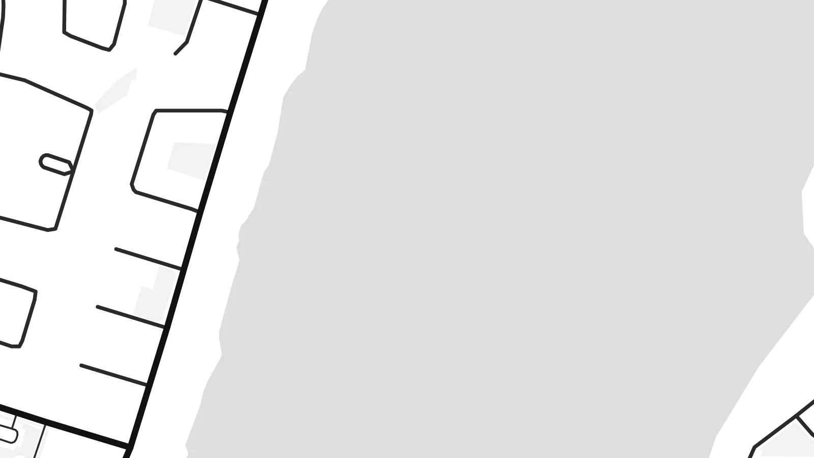
这是真实印刷文件的 100% 局部截图。每张海报——无论印刷、装框还是下载——都在我们的服务器上以 300 DPI、最高 7,200 × 10,800 像素渲染,即使 24 × 36″ 印刷尺寸下最细的线条也清晰锐利。
上墙效果


关于地图
Chestermere sits just east of Calgary on the open prairie, and its map is built around one feature: Chestermere Lake, a long reservoir at the centre of the city. Residential neighbourhoods line both shores, with the curving crescents and cul-de-sacs of recent suburban planning. The land around them stays flat and largely agricultural.
The lake was created as part of an irrigation system that still carries water across the fields east of Calgary, and canals branching from it can be seen on the map. Over the decades Chestermere grew from a summer village into a town and, in 2015, a city. A Chestermere map poster shows how its neighbourhoods have formed around the water.
In black and white, the lake becomes a strong, simple shape surrounded by the fine lines of residential streets. Calgary begins to the west, and Highway 1 runs along the north side of the city. The composition is calm and open, balanced between water, housing and the straight section roads of the prairie.
The reservoir forms the centre of the map, a long, smooth body of water. Its shoreline is lined almost entirely with homes and parks, which trace its outline in fine detail.
Canals linked to the lake run out across the farmland in thin, precise lines. They reveal the irrigation system behind the city's origins and extend the water into the prairie.
Beyond the neighbourhoods, straight rural roads follow Alberta's square survey grid. They make a crisp geometric frame around the softer curves of the suburban streets.
专属定制
添加日期、名字或一句你自己的话,还可切换风格、尺寸或方向。
免费预览图为低分辨率且带水印。印刷版和 HD 文件以 300 DPI、最高 7,200 × 10,800 px 渲染,无水印。
为什么选 Chestermere
For lakeside homeowners, families who moved out from Calgary, or anyone who spent summers on the water, a Chestermere map marks a particular kind of home. Personalise the title and subtitle with your street, neighbourhood or moving date, and keep the coordinates line as a precise reference.
Five styles are available: the dark Noir and the technical Blueprint alongside Classic black & white, Paper and Sand. For $9 you get six print sizes, including 18×24″ and 24×36″, as 300 DPI PNG and PDF, or you can order a matte print with an optional wooden frame.
订购 Chestermere 海报| 印刷尺寸 | 分辨率 | 文件 |
|---|---|---|
| 30 × 40 cm11.8 × 15.7″ | 3,543 × 4,724 px | PNG · PDF |
| 29.7 × 42 cm (A3)11.7 × 16.5″ | 3,508 × 4,961 px | PNG · PDF |
| 42 × 59.4 cm (A2)16.5 × 23.4″ | 4,961 × 7,016 px | PNG · PDF |
| 45.7 × 61 cm18 × 24″ | 5,400 × 7,200 px | PNG · PDF |
| 50 × 70 cm19.7 × 27.6″ | 5,906 × 8,268 px | PNG · PDF |
| 61 × 91.4 cm24 × 36″ | 7,200 × 10,800 px | PNG · PDF |
作为对比,免费预览图宽 900 px,带水印,仅适合屏幕浏览。HD 文件在每个方向上的分辨率最高可达其 8 倍,印成全尺寸海报依然清晰。
在页面顶部选择一款风格,然后选择「印刷海报」——选定尺寸,如需要还可加装相框——或选择「数字 HD 文件」。结账只需一步,付款完成后订单页面会立即更新。
采用优质 200 gsm 磨砂纸印刷,提供六种尺寸,从 30 × 40 cm 到 24 × 36″。印刷海报起价 $39,包邮。
可以。可选实木相框,颜色有黑色、白色、原木橡木色或深木色。配防碎玻璃,到手即可挂墙。装框海报起价 $99,包邮。
60多个国家和地区免费配送。每张海报由我们分布在30多个国家的合作印刷商中距离最近的一家印制,通常3–7个工作日送达。您可以在“我的订单”中查看订单状态和物流跟踪。个别国家和地区需要2–5周;如果暂不支持配送,网站会在您付款前告知。
请在收货后 14 天内发给我们照片,我们会免费重印或全额退款。
可以。在本页的编辑器中,可以随意修改标题、副标题和坐标行,并选择风格和尺寸。印刷、装框和数字版订单都会完全按照你的设计制作。
只需 $9,即可获得全部六种尺寸的 300 DPI PNG 和可直接印刷的 PDF 文件,无水印,随处可印。还不确定?可以先下载免费的带水印预览图。
