Numbered grid
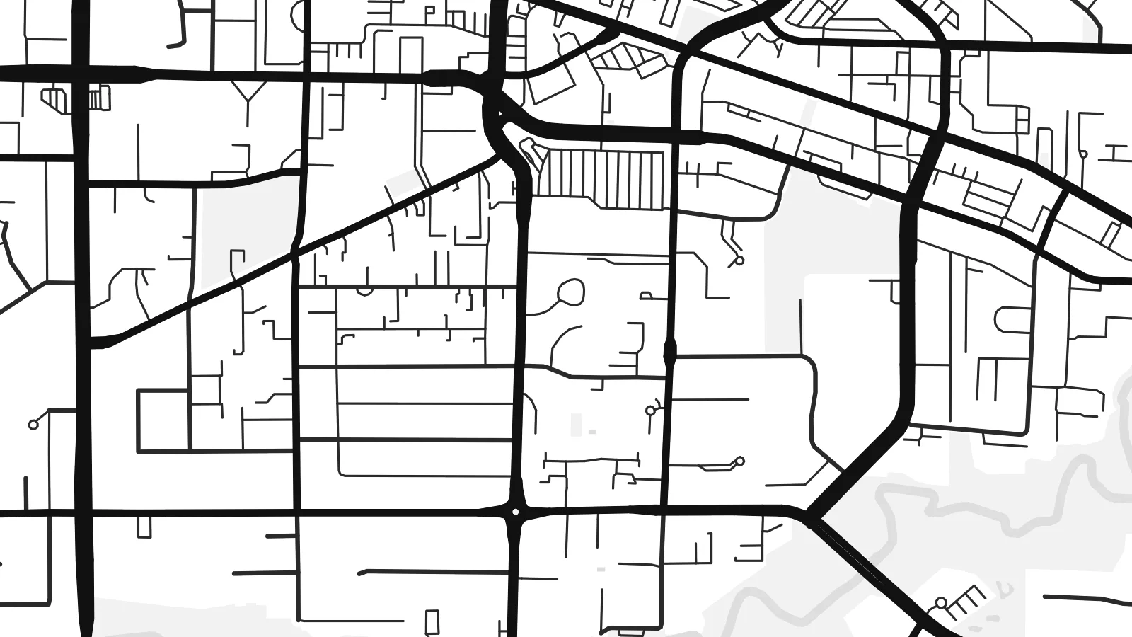
Roads such as 200 Street follow the regional survey grid, a regular lattice that organises farms and suburbs alike and gives the map its underlying rhythm.
极简地图海报 · 加拿大
49.1011° N / 122.6588° W
A patchwork of farmland and suburbs on a numbered road grid, bounded by the Fraser River and the US border.


一座城市,五种氛围
点击风格,即可预览效果。所有风格价格相同——无论印刷、装框还是 HD 文件。
 实际像素 · 24 × 36″ 印刷文件
印刷级清晰
这是真实印刷文件的 100% 局部截图。每张海报——无论印刷、装框还是下载——都在我们的服务器上以 300 DPI、最高 7,200 × 10,800 像素渲染,即使 24 × 36″ 印刷尺寸下最细的线条也清晰锐利。
上墙效果


关于地图
Langley sits in the Fraser Valley east of Vancouver, and the name covers two neighbouring municipalities: the compact City of Langley and the much larger Township that surrounds it. From above, the area is organised by a regular grid of numbered streets and avenues, the same system used across much of the region, with suburban neighbourhoods filling some squares and farms, nurseries and woodland filling others.
At its northern edge, the village of Fort Langley stands on the Fraser River near the site of a Hudson's Bay Company trading post founded in 1827. It was there, in 1858, that the colony of British Columbia was proclaimed, which gives the village its claim as the birthplace of the province. The southern boundary runs straight along the border with Washington State.
A Langley map poster shows a landscape halfway between city and country. The Trans-Canada Highway slices across the grid, clusters of cul-de-sacs mark newer neighbourhoods such as Willoughby, and the Fraser curves across the top with its islands and sloughs. The overall effect is orderly but never monotonous.
Roads such as 200 Street follow the regional survey grid, a regular lattice that organises farms and suburbs alike and gives the map its underlying rhythm.
The historic village sits on the south bank of the Fraser River, where the curve of the water and a small street pattern form a distinct corner of the map.
To the south, the international boundary with the United States runs perfectly straight, cutting across fields and roads in a way only a map can show.
专属定制
添加日期、名字或一句你自己的话,还可切换风格、尺寸或方向。
免费预览图为低分辨率且带水印。印刷版和 HD 文件以 300 DPI、最高 7,200 × 10,800 px 渲染,无水印。
为什么选 Langley
Langley is where many families settle when they want space within reach of Vancouver, and a map of the area marks that choice. The mix of grid, river and open land also suits people who like a less crowded, more graphic image.
Add a title such as your neighbourhood, a subtitle and the coordinates, then pick one of the five styles. Digital files come in six sizes, including 18×24″ and 24×36″, and printed posters are available with an optional wooden frame.
订购 Langley 海报| 印刷尺寸 | 分辨率 | 文件 |
|---|---|---|
| 30 × 40 cm (11.8 × 15.7″) | 3,543 × 4,724 px | PNG · PDF |
| 29.7 × 42 cm (A3, 11.7 × 16.5″) | 3,508 × 4,961 px | PNG · PDF |
| 42 × 59.4 cm (A2, 16.5 × 23.4″) | 4,961 × 7,016 px | PNG · PDF |
| 45.7 × 61 cm (18 × 24″) | 5,400 × 7,200 px | PNG · PDF |
| 50 × 70 cm (19.7 × 27.6″) | 5,906 × 8,268 px | PNG · PDF |
| 61 × 91.4 cm (24 × 36″) | 7,200 × 10,800 px | PNG · PDF |
作为对比,免费预览图宽 900 px,带水印,仅适合屏幕浏览。HD 文件在每个方向上的分辨率最高可达其 8 倍,印成全尺寸海报依然清晰。
在页面顶部选择一款风格,然后选择「印刷海报」——选定尺寸,如需要还可加装相框——或选择「数字 HD 文件」。结账只需一步,付款完成后订单页面会立即更新。
采用优质 200 gsm 磨砂纸印刷,提供六种尺寸,从 30 × 40 cm 到 24 × 36″。印刷海报起价 $39,包邮。
可以。可选实木相框,颜色有黑色、白色、原木橡木色或深木色。配防碎玻璃,到手即可挂墙。装框海报起价 $99,包邮。
全球包邮。每张海报由我们在 30 多个国家的合作印刷厂中离你最近的一家印制,通常 3–7 个工作日送达。你可以在“我的订单”中查看订单状态和物流跟踪。少数国家需要 2–5 周;暂不支持配送的国家,网站会在你付款前提示。
请在收货后 14 天内发给我们照片,我们会免费重印或全额退款。
可以。在本页的编辑器中,可以随意修改标题、副标题和坐标行,并选择风格和尺寸。印刷、装框和数字版订单都会完全按照你的设计制作。
只需 $9,即可获得全部六种尺寸的 300 DPI PNG 和可直接印刷的 PDF 文件,无水印,随处可印。还不确定?可以先下载免费的带水印预览图。
