Avenida Paulista
A straight avenue about 2.8 kilometres long, following one of the city’s high ridges south-west of the old centre and forming a clear diagonal through the surrounding grid.
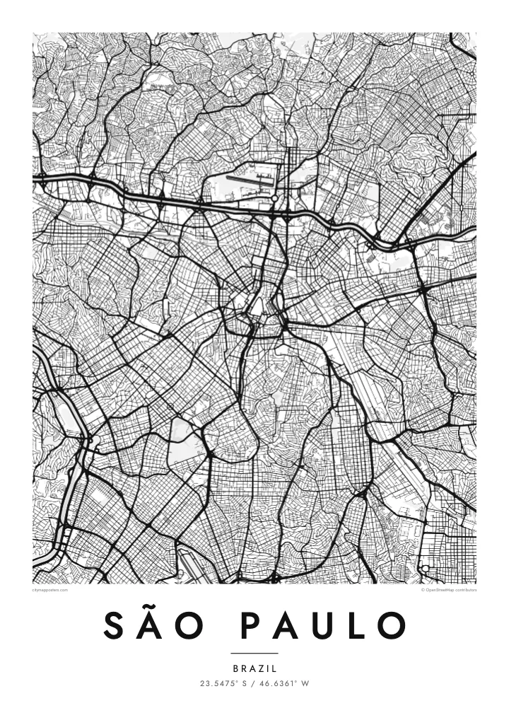
极简地图海报 · 巴西
23.5475° S / 46.6361° W
An immense plateau city held between two channelled rivers, with reservoirs to the south and forested hills to the north


一座城市,五种氛围
点击风格,即可预览效果。所有风格价格相同——无论印刷、装框还是 HD 文件。
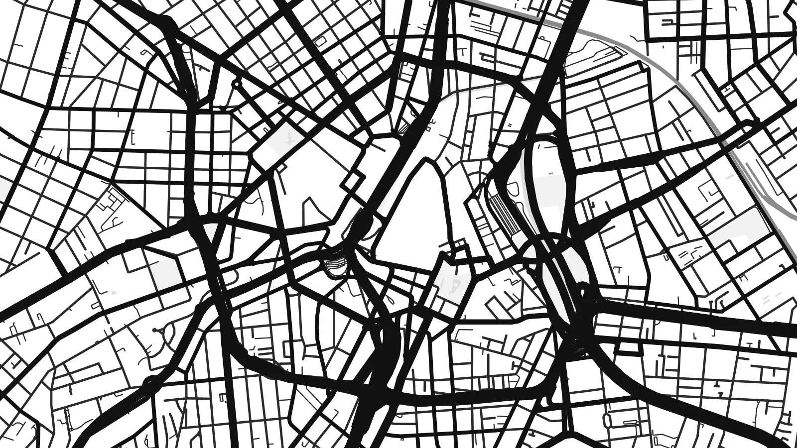 实际像素 · 24 × 36″ 印刷文件
印刷级清晰
这是真实印刷文件的 100% 局部截图。每张海报——无论印刷、装框还是下载——都在我们的服务器上以 300 DPI、最高 7,200 × 10,800 像素渲染,即使 24 × 36″ 印刷尺寸下最细的线条也清晰锐利。
上墙效果


关于地图
São Paulo spreads across a high plateau above the Atlantic coast, and on a map it seems to fill every direction. Two rivers give it structure: the Tietê, crossing from east to west, and the Pinheiros, running north-west to meet it. Both have been straightened and lined by the Marginal expressways, creating long, rigid lines that frame the central districts, with the Serra da Cantareira rising beyond them to the north.
The historic centre, around the Praça da Sé and the Pátio do Colégio, is a knot of old streets and viaducts crossing small valleys. To the south-west, Avenida Paulista runs along a ridge lined with tall buildings, and Ibirapuera Park opens up a broad, irregular shape nearby. Further south, the Guarapiranga and Billings reservoirs spread their branching shorelines into the edges of the city.
The city was founded by Jesuit missionaries in 1554 and is today the largest city in Brazil and in the Southern Hemisphere. A São Paulo map poster gives form to a place that is hard to take in from the ground, reducing a dense metropolis to a clear pattern of rivers, ridges, parks and avenues.
A straight avenue about 2.8 kilometres long, following one of the city’s high ridges south-west of the old centre and forming a clear diagonal through the surrounding grid.
The two rivers meet west of the centre, both straightened and bordered by expressways. Together they draw a large angle that frames much of the urban core.
Guarapiranga and Billings spread across the southern edge of the city with long, branching arms of water, creating one of the most intricate shoreline patterns on the map.
专属定制
添加日期、名字或一句你自己的话,还可切换风格、尺寸或方向。
免费预览图为低分辨率且带水印。印刷版和 HD 文件以 300 DPI、最高 7,200 × 10,800 px 渲染,无水印。
为什么选 São Paulo
São Paulo is a city of long careers, large families and constant movement, and many Paulistanos keep a strong attachment to their own bairro. A map poster puts that bairro in context, showing it as part of a vast and surprisingly ordered whole.
Name your bairro in the title, add a date or a short message to the subtitle and edit the coordinates line. Five styles are available, Classic black & white, Noir, Paper, Blueprint and Sand, as instant digital files or as a printed poster shipped from partners in more than 30 countries.
订购 São Paulo 海报| 印刷尺寸 | 分辨率 | 文件 |
|---|---|---|
| 30 × 40 cm11.8 × 15.7″ | 3,543 × 4,724 px | PNG · PDF |
| 29.7 × 42 cm (A3)11.7 × 16.5″ | 3,508 × 4,961 px | PNG · PDF |
| 42 × 59.4 cm (A2)16.5 × 23.4″ | 4,961 × 7,016 px | PNG · PDF |
| 45.7 × 61 cm18 × 24″ | 5,400 × 7,200 px | PNG · PDF |
| 50 × 70 cm19.7 × 27.6″ | 5,906 × 8,268 px | PNG · PDF |
| 61 × 91.4 cm24 × 36″ | 7,200 × 10,800 px | PNG · PDF |
作为对比,免费预览图宽 900 px,带水印,仅适合屏幕浏览。HD 文件在每个方向上的分辨率最高可达其 8 倍,印成全尺寸海报依然清晰。
在页面顶部选择一款风格,然后选择「印刷海报」——选定尺寸,如需要还可加装相框——或选择「数字 HD 文件」。结账只需一步,付款完成后订单页面会立即更新。
采用优质 200 gsm 磨砂纸印刷,提供六种尺寸,从 30 × 40 cm 到 24 × 36″。印刷海报起价 $39,包邮。
可以。可选实木相框,颜色有黑色、白色、原木橡木色或深木色。配防碎玻璃,到手即可挂墙。装框海报起价 $99,包邮。
60多个国家和地区免费配送。每张海报由我们分布在30多个国家的合作印刷商中距离最近的一家印制,通常3–7个工作日送达。您可以在“我的订单”中查看订单状态和物流跟踪。个别国家和地区需要2–5周;如果暂不支持配送,网站会在您付款前告知。
请在收货后 14 天内发给我们照片,我们会免费重印或全额退款。
可以。在本页的编辑器中,可以随意修改标题、副标题和坐标行,并选择风格和尺寸。印刷、装框和数字版订单都会完全按照你的设计制作。
只需 $9,即可获得全部六种尺寸的 300 DPI PNG 和可直接印刷的 PDF 文件,无水印,随处可印。还不确定?可以先下载免费的带水印预览图。
