Railroad town core
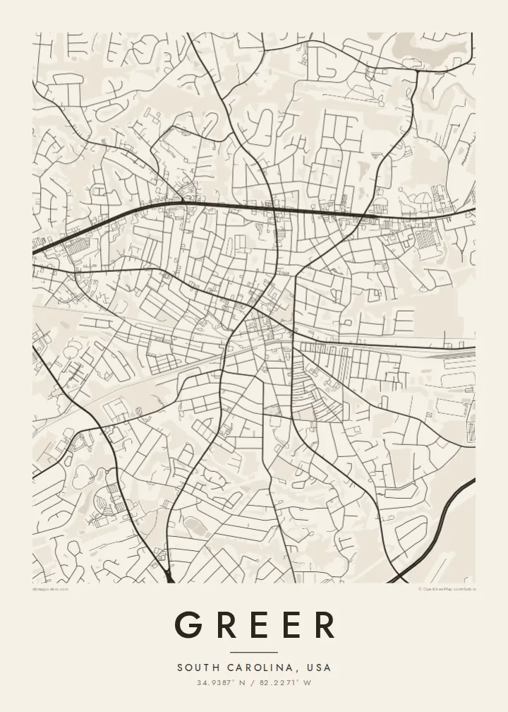
The oldest part of Greer lines up along the railway, with short, regular blocks that stand out sharply against the looser, curving streets that surround them.
Minimalistlik kaardiplakat · Ameerika Ühendriigid
34.9387° N / 82.2271° W
A South Carolina town between two cities, with a compact downtown, an interstate edge and an airport grid in its fields


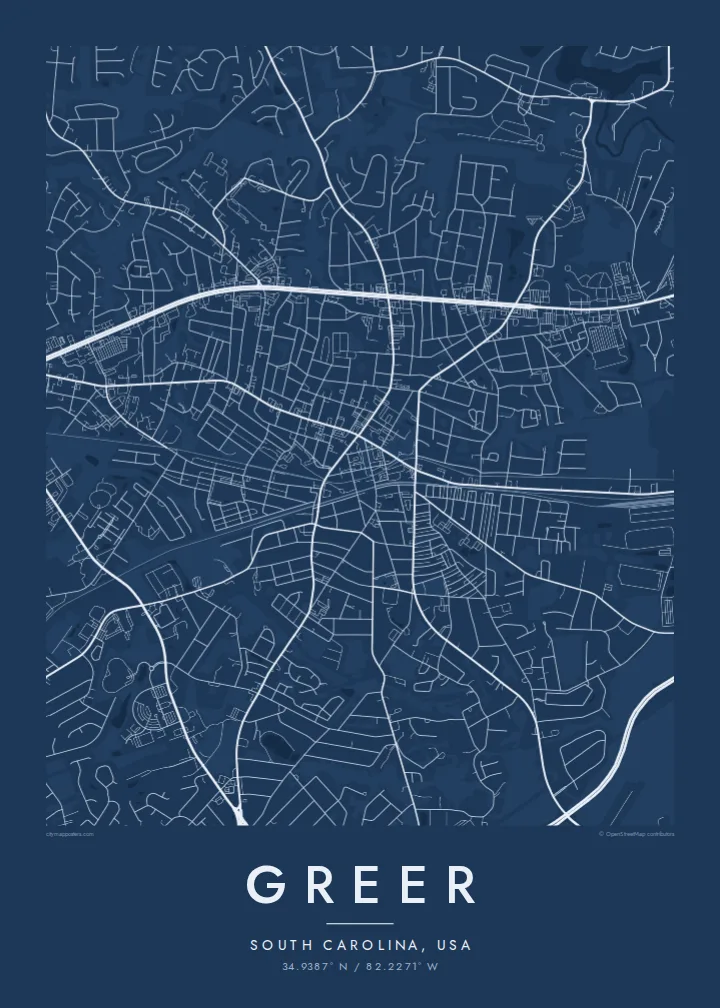

Üks linn, viis meeleolu
Puuduta stiili, et näha seda seinal. Kõik stiilid maksavad sama — trükituna, raamis või HD-failidena.
 Tegelikud pikslid · 24 × 36″ trükifail
Trükiteravus
See on 100% väljalõige tegelikust trükifailist. Iga poster — trükituna, raamis või allalaaditud — renderdatakse meie serverites 300 DPI juures, kuni 7,200 × 10,800 pikslini, nii et isegi kõige väiksemad teed püsivad 24 × 36″ trükisel teravad.
Seinal


Kaart
Greer sits in the Upstate of South Carolina, roughly midway between Greenville and Spartanburg, and its map reads like a hinge between the two. A small historic centre gathers around the railway, and from it roads fan out into curving subdivisions, farm roads and commercial strips that thin toward the Blue Ridge foothills on the horizon.
From above, the most striking shapes are the large ones. The runways of Greenville-Spartanburg International Airport cut clean diagonals through the landscape, and the long industrial footprint of BMW's manufacturing plant sits close by. Both have shaped Greer's growth over recent decades, pulling housing and new streets outward from the older core.
A Greer map poster holds all of these layers at once: the tight blocks of the original town, the looping cul-de-sacs of newer neighbourhoods, the interstate corridor and the reservoirs that sit in the wooded hills to the north. In black and white it becomes a clear portrait of a small railroad town that grew into a regional crossroads.
The oldest part of Greer lines up along the railway, with short, regular blocks that stand out sharply against the looser, curving streets that surround them.
The long, straight runways of Greenville-Spartanburg International Airport form one of the boldest geometric shapes on the map, set among fields and woodland.
Water supply lakes in the wooded country to the north add soft, irregular shorelines that balance the dense road network of the town itself.
Tee see enda omaks
Lisa kuupäev, nimi või oma tekst, vaheta stiili, suurust või suunda.
Tasuta eelvaade on madala eraldusvõimega ja veetempliga. Trükised ja HD-failid renderdatakse 300 DPI juures, kuni 7,200 × 10,800 px, ilma veetempliteta.
Miks Greer
For people who grew up here or moved for work at the plant or the airport, Greer is a place defined by in-between: between cities, between farmland and industry. A map captures that honestly, and it looks calm on a wall.
You can set the title, subtitle and coordinates line to mark a house, a first job or a wedding date, then choose Classic black & white, Noir, Paper, Blueprint or Sand to suit the room.
Telli Greer poster| Trükisuurus | Eraldusvõime | Failid |
|---|---|---|
| 30 × 40 cm11.8 × 15.7″ | 3,543 × 4,724 px | PNG · PDF |
| 29.7 × 42 cm (A3)11.7 × 16.5″ | 3,508 × 4,961 px | PNG · PDF |
| 42 × 59.4 cm (A2)16.5 × 23.4″ | 4,961 × 7,016 px | PNG · PDF |
| 45.7 × 61 cm18 × 24″ | 5,400 × 7,200 px | PNG · PDF |
| 50 × 70 cm19.7 × 27.6″ | 5,906 × 8,268 px | PNG · PDF |
| 61 × 91.4 cm24 × 36″ | 7,200 × 10,800 px | PNG · PDF |
Võrdluseks: tasuta eelvaade on 900 px lai, vesimärgiga ja mõeldud ekraanil vaatamiseks. HD-failidel on kuni 8× suurem eraldusvõime mõlemas suunas ja need prinditakse puhtalt ka täissuuruses plakatina.
Vali lehe ülaosas stiil ja seejärel Trükitud poster — suurus ja soovi korral raam — või Digitaalsed HD-failid. Tellimuse vormistamine võtab ühe sammu ning tellimuse leht uueneb kohe, kui makse on läbi läinud.
See trükitakse kvaliteetsele 200 gsm mattpaberile ühes kuuest suurusest, alates 30 × 40 cm kuni 24 × 36″. Trükitud postrite hind algab $39, tarne on hinnas sees.
Jah. Vali täispuidust raam mustas, valges, naturaalses tammes või tumedas puidutoonis. Raamiga kaasneb purunemiskindel klaas ning see on kohe seinale riputamiseks valmis. Raamitud postrite hind algab $99, tarne on hinnas sees.
Saatmine on tasuta 60+ riiki. Iga plakati prindib meie lähim trükipartner enam kui 30 riigis ning see jõuab tavaliselt kohale 3–7 tööpäevaga. Tellimuse staatust ja jälgimiskoodi näed jaotises Minu tellimused. Mõnda riiki saadetakse 2–5 nädalat ning kui me kuhugi veel ei saada, annab sait sellest teada enne maksmist.
Saada meile foto 14 päeva jooksul pärast kohaletoimetamist ning me trükime posteri tasuta uuesti või tagastame raha.
Jah. Selle lehe redaktoris saad muuta pealkirja, alapealkirja ja koordinaatide rida enda soovi järgi ning valida stiili ja suuruse. Nii trükitud, raamitud kui ka digitaalsed tellimused kasutavad täpselt sinu kujundust.
$9 eest saad 300 DPI PNG- ja trükivalmis PDF-failid kõigis kuues suuruses, ilma veetempliteta, et trükkida kus iganes. Ei ole veel kindel? Laadi enne alla tasuta veetempliga eelvaade.
Läheduses
