The two islands
Île de la Cité and Île Saint-Louis sit in the Seine at the heart of the map, with Notre-Dame at the eastern end of the larger island and bridges stitching both to either bank.
Minimalistlik kaardiplakat · Prantsusmaa
48.8534° N / 2.3488° E
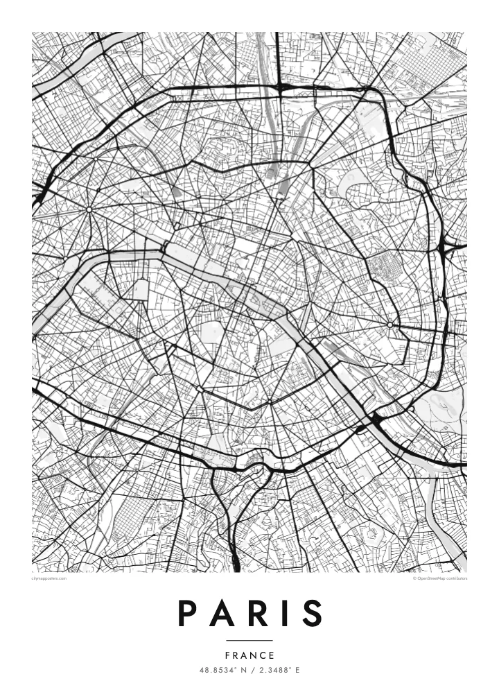
A city drawn in concentric rings around a curving river, its grand boulevards cutting straight lines through the older, tighter weave.
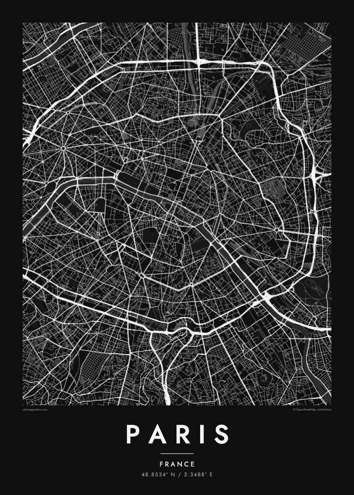
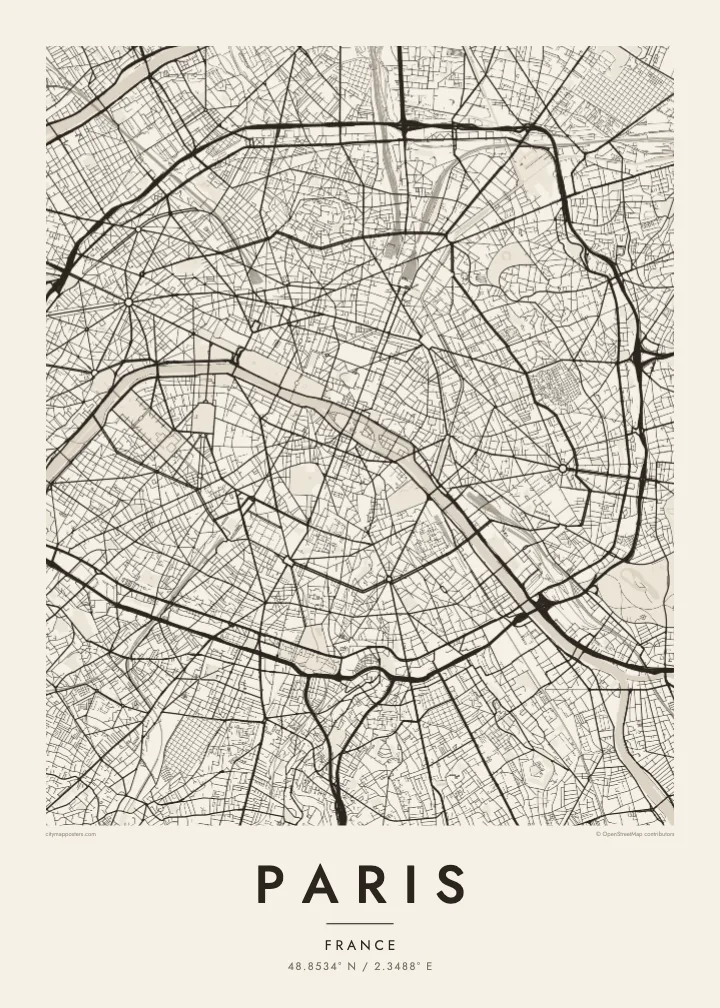

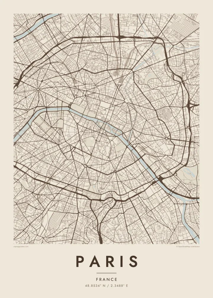
Üks linn, viis meeleolu
Puuduta stiili, et näha seda seinal. Kõik stiilid maksavad sama — trükituna, raamis või HD-failidena.
 Tegelikud pikslid · 24 × 36″ trükifail
Trükiteravus
See on 100% väljalõige tegelikust trükifailist. Iga poster — trükituna, raamis või allalaaditud — renderdatakse meie serverites 300 DPI juures, kuni 7,200 × 10,800 pikslini, nii et isegi kõige väiksemad teed püsivad 24 × 36″ trükisel teravad.
Seinal


Kaart
From above, Paris is organised around a river that refuses to run straight. The Seine enters from the southeast, bends in a long arc and leaves to the southwest, with the Île de la Cité and the Île Saint-Louis anchored in the middle like two moored boats. Everything else seems to orbit that pair of islands, where the city began as a small settlement on the water.
The twenty arrondissements make the orbit literal. They are numbered in a clockwise spiral from the centre, curling outward like a snail shell until the sequence meets the Boulevard Périphérique, the ring road that marks the city limit with unusual precision. Inside that loop, a Paris map poster shows two textures at once: the dense, irregular lanes of the medieval core and the long diagonal cuts laid over them.
Those cuts are the work of Baron Haussmann, who remade the city for Napoleon III in the mid nineteenth century. His boulevards meet at star-shaped squares, most famously the Place Charles de Gaulle, where twelve avenues radiate from the Arc de Triomphe. At the edges, the Bois de Boulogne to the west and the Bois de Vincennes to the east sit like two large, pale lungs.
Île de la Cité and Île Saint-Louis sit in the Seine at the heart of the map, with Notre-Dame at the eastern end of the larger island and bridges stitching both to either bank.
Twelve avenues leave the Arc de Triomphe in every direction, producing the most recognisable star on any European street map and the clearest reading of Haussmann's plan for the city.
The ring road follows the line of the city's last fortifications, giving Paris a sharp, almost oval border that frames the poster and separates the city proper from its suburbs.
Tee see enda omaks
Lisa kuupäev, nimi või oma tekst, vaheta stiili, suurust või suunda.
Tasuta eelvaade on madala eraldusvõimega ja veetempliga. Trükised ja HD-failid renderdatakse 300 DPI juures, kuni 7,200 × 10,800 px, ilma veetempliteta.
Miks Paris
Paris is often the first city people fall for, and a street map holds that feeling without leaning on postcard images. It suits the flat above a café you still miss, the arrondissement where you studied for a year, or a weekend that turned into a proposal somewhere along the quais.
Add your own title and a date that matters, whether it marks a move, an anniversary or the year you left, then choose from five styles: Classic black & white, Noir, Paper, Blueprint or Sand. Each keeps the lines crisp, so the spiral of the arrondissements reads clearly from across the room.
Telli Paris poster| Trükisuurus | Eraldusvõime | Failid |
|---|---|---|
| 30 × 40 cm (11.8 × 15.7″) | 3,543 × 4,724 px | PNG · PDF |
| 29.7 × 42 cm (A3, 11.7 × 16.5″) | 3,508 × 4,961 px | PNG · PDF |
| 42 × 59.4 cm (A2, 16.5 × 23.4″) | 4,961 × 7,016 px | PNG · PDF |
| 45.7 × 61 cm (18 × 24″) | 5,400 × 7,200 px | PNG · PDF |
| 50 × 70 cm (19.7 × 27.6″) | 5,906 × 8,268 px | PNG · PDF |
| 61 × 91.4 cm (24 × 36″) | 7,200 × 10,800 px | PNG · PDF |
Võrdluseks: tasuta eelvaade on 900 px lai, vesimärgiga ja mõeldud ekraanil vaatamiseks. HD-failidel on kuni 8× suurem eraldusvõime mõlemas suunas ja need prinditakse puhtalt ka täissuuruses plakatina.
Vali lehe ülaosas stiil ja seejärel Trükitud poster — suurus ja soovi korral raam — või Digitaalsed HD-failid. Tellimuse vormistamine võtab ühe sammu ning tellimuse leht uueneb kohe, kui makse on läbi läinud.
See trükitakse kvaliteetsele 200 gsm mattpaberile ühes kuuest suurusest, alates 30 × 40 cm kuni 24 × 36″. Trükitud postrite hind algab $39, tarne on hinnas sees.
Jah. Vali täispuidust raam mustas, valges, naturaalses tammes või tumedas puidutoonis. Raamiga kaasneb purunemiskindel klaas ning see on kohe seinale riputamiseks valmis. Raamitud postrite hind algab $99, tarne on hinnas sees.
Kohaletoimetamine on kogu maailmas tasuta. Iga plakati prindib meie lähim trükipartner enam kui 30 riigis ja see jõuab kohale tavaliselt 3–7 tööpäevaga. Staatust ja jälgimiskoodi näed jaotises Minu tellimused. Mõnda riiki toimetatakse 2–5 nädalat ning kui kuhugi veel ei saada, annab sait sellest teada enne maksmist.
Saada meile foto 14 päeva jooksul pärast kohaletoimetamist ning me trükime posteri tasuta uuesti või tagastame raha.
Jah. Selle lehe redaktoris saad muuta pealkirja, alapealkirja ja koordinaatide rida enda soovi järgi ning valida stiili ja suuruse. Nii trükitud, raamitud kui ka digitaalsed tellimused kasutavad täpselt sinu kujundust.
$9 eest saad 300 DPI PNG- ja trükivalmis PDF-failid kõigis kuues suuruses, ilma veetempliteta, et trükkida kus iganes. Ei ole veel kindel? Laadi enne alla tasuta veetempliga eelvaade.
Läheduses
