Zuid-Willemsvaart
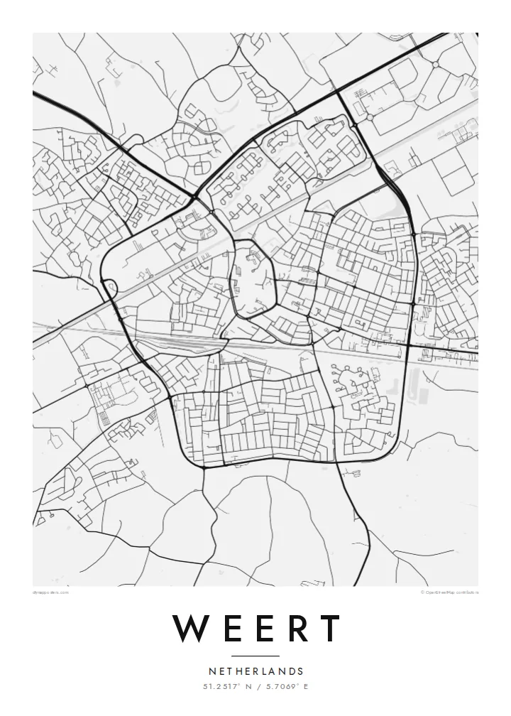
The historic canal traces a clean line past the town. This piece of nineteenth-century engineering reads especially well in black and white.
Minimalistlik kaardiplakat · Holland
51.2517° N / 5.7069° E
A compact Limburg town crossed by canals, with a church-centred old core and woodland near the Belgian border.
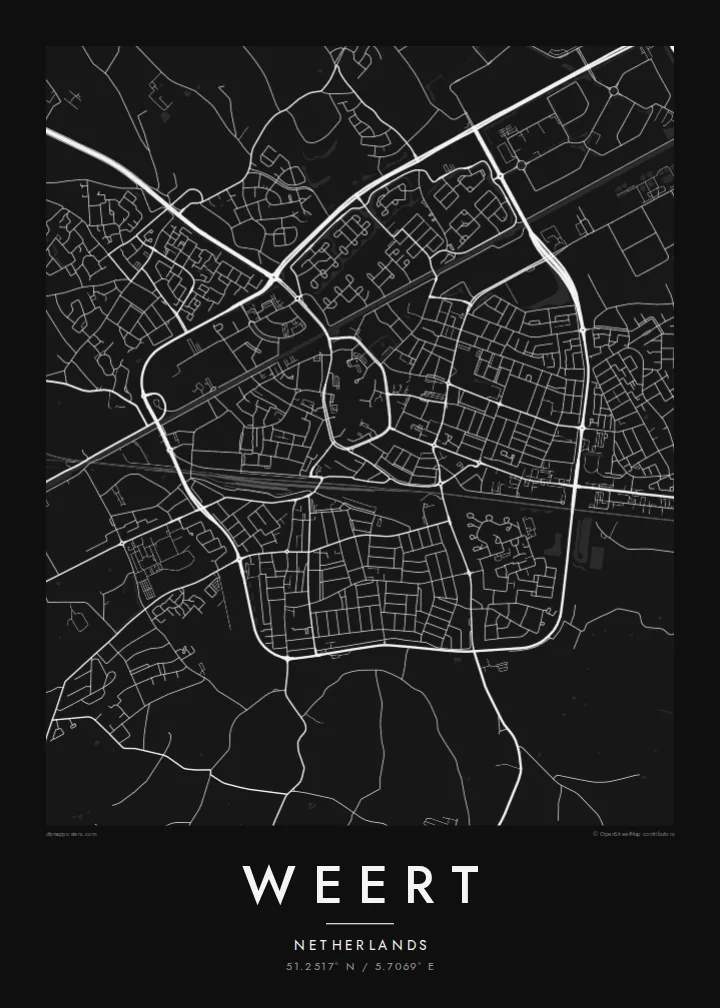


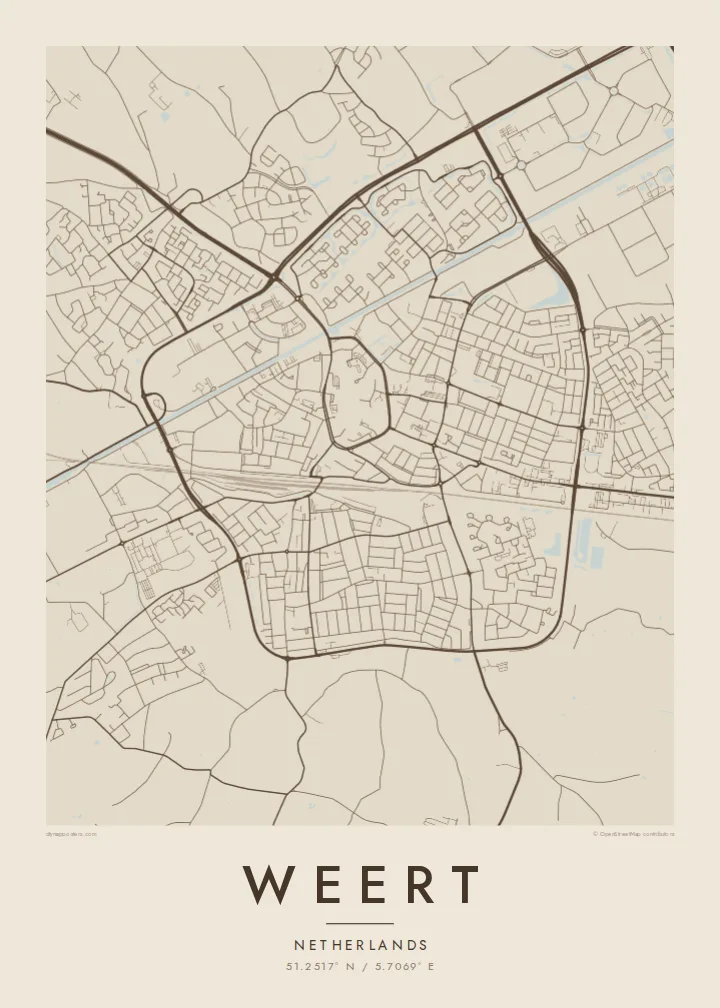
Üks linn, viis meeleolu
Puuduta stiili, et näha seda seinal. Kõik stiilid maksavad sama — trükituna, raamis või HD-failidena.
 Tegelikud pikslid · 24 × 36″ trükifail
Trükiteravus
See on 100% väljalõige tegelikust trükifailist. Iga poster — trükituna, raamis või allalaaditud — renderdatakse meie serverites 300 DPI juures, kuni 7,200 × 10,800 pikslini, nii et isegi kõige väiksemad teed püsivad 24 × 36″ trükisel teravad.
Seinal


Kaart
Weert lies in the western corner of Dutch Limburg, where the Netherlands narrows toward Belgium. The old centre is a compact cluster of streets around the Sint-Martinuskerk, the large late-Gothic church whose tower dominates the town. From there the plan spreads outward in rings of later neighbourhoods, all fairly low and evenly spaced on flat ground.
Water gives the map its strongest lines. The Zuid-Willemsvaart, the nineteenth-century canal between Maastricht and 's-Hertogenbosch, runs past the town, and several other canals meet it at Nederweert just to the north. On paper they draw long straight strokes that contrast with the curving streets of the centre.
Beyond the built-up area, the land opens into the woods and heath of the Kempen, including the Weerterbos. A Weert map poster brings these layers together: the old town gathered around its church, the ruler-straight canals, and the green, open edges that local people know from walks and cycling routes.
The historic canal traces a clean line past the town. This piece of nineteenth-century engineering reads especially well in black and white.
Narrow streets gather around the Sint-Martinuskerk and the market square, forming a dense knot at the centre of the poster.
Forest and heath on the edges of Weert, including the Weerterbos, keep the outer parts of the map light and open, crossed only by paths and tracks.
Tee see enda omaks
Lisa kuupäev, nimi või oma tekst, vaheta stiili, suurust või suunda.
Tasuta eelvaade on madala eraldusvõimega ja veetempliga. Trükised ja HD-failid renderdatakse 300 DPI juures, kuni 7,200 × 10,800 px, ilma veetempliteta.
Miks Weert
Some people stay in Weert all their lives, others come back for family visits, and many know its canals from cycling. A map on the wall turns those familiar lines into something to look at properly instead of simply passing through.
Add a family name, a street or a year to the title and subtitle, and keep or change the coordinates. Pick from Classic black & white, Noir, Paper, Blueprint and Sand. Blueprint suits the canals, and Paper softens the old town.
Telli Weert poster| Trükisuurus | Eraldusvõime | Failid |
|---|---|---|
| 30 × 40 cm (11.8 × 15.7″) | 3,543 × 4,724 px | PNG · PDF |
| 29.7 × 42 cm (A3, 11.7 × 16.5″) | 3,508 × 4,961 px | PNG · PDF |
| 42 × 59.4 cm (A2, 16.5 × 23.4″) | 4,961 × 7,016 px | PNG · PDF |
| 45.7 × 61 cm (18 × 24″) | 5,400 × 7,200 px | PNG · PDF |
| 50 × 70 cm (19.7 × 27.6″) | 5,906 × 8,268 px | PNG · PDF |
| 61 × 91.4 cm (24 × 36″) | 7,200 × 10,800 px | PNG · PDF |
Võrdluseks: tasuta eelvaade on 900 px lai, vesimärgiga ja mõeldud ekraanil vaatamiseks. HD-failidel on kuni 8× suurem eraldusvõime mõlemas suunas ja need prinditakse puhtalt ka täissuuruses plakatina.
Vali lehe ülaosas stiil ja seejärel Trükitud poster — suurus ja soovi korral raam — või Digitaalsed HD-failid. Tellimuse vormistamine võtab ühe sammu ning tellimuse leht uueneb kohe, kui makse on läbi läinud.
See trükitakse kvaliteetsele 200 gsm mattpaberile ühes kuuest suurusest, alates 30 × 40 cm kuni 24 × 36″. Trükitud postrite hind algab {printFrom}, tarne on hinnas sees.
Jah. Vali täispuidust raam mustas, valges, naturaalses tammes või tumedas puidutoonis. Raamiga kaasneb purunemiskindel klaas ning see on kohe seinale riputamiseks valmis. Raamitud postrite hind algab {framedFrom}, tarne on hinnas sees.
Kohaletoimetamine on kogu maailmas tasuta. Iga plakati prindib meie lähim trükipartner enam kui 30 riigis ja see jõuab kohale tavaliselt 3–7 tööpäevaga. Staatust ja jälgimiskoodi näed jaotises Minu tellimused. Mõnda riiki toimetatakse 2–5 nädalat ning kui kuhugi veel ei saada, annab sait sellest teada enne maksmist.
Saada meile foto 14 päeva jooksul pärast kohaletoimetamist ning me trükime posteri tasuta uuesti või tagastame raha.
Jah. Selle lehe redaktoris saad muuta pealkirja, alapealkirja ja koordinaatide rida enda soovi järgi ning valida stiili ja suuruse. Nii trükitud, raamitud kui ka digitaalsed tellimused kasutavad täpselt sinu kujundust.
$9 eest saad 300 DPI PNG- ja trükivalmis PDF-failid kõigis kuues suuruses, ilma veetempliteta, et trükkida kus iganes. Ei ole veel kindel? Laadi enne alla tasuta veetempliga eelvaade.
