Chain of beaches
A sequence of wide sandy bays runs along the ocean shore, each separated by a rocky headland, giving the coastline a scalloped outline.
پوستر نقشه مینیمال · برزیل
23.9931° S / 46.2564° W
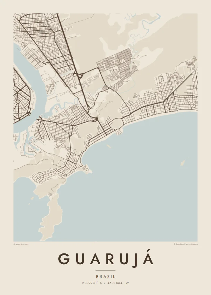
An island city of curving Atlantic beaches and rocky headlands, separated from the port of Santos by a narrow channel


یک شهر، پنج حالوهوا
روی یک سبک ضربه بزنید تا آن را روی دیوار ببینید. همه سبکها قیمت یکسانی دارند — چاپی، قابشده یا فایلهای HD.
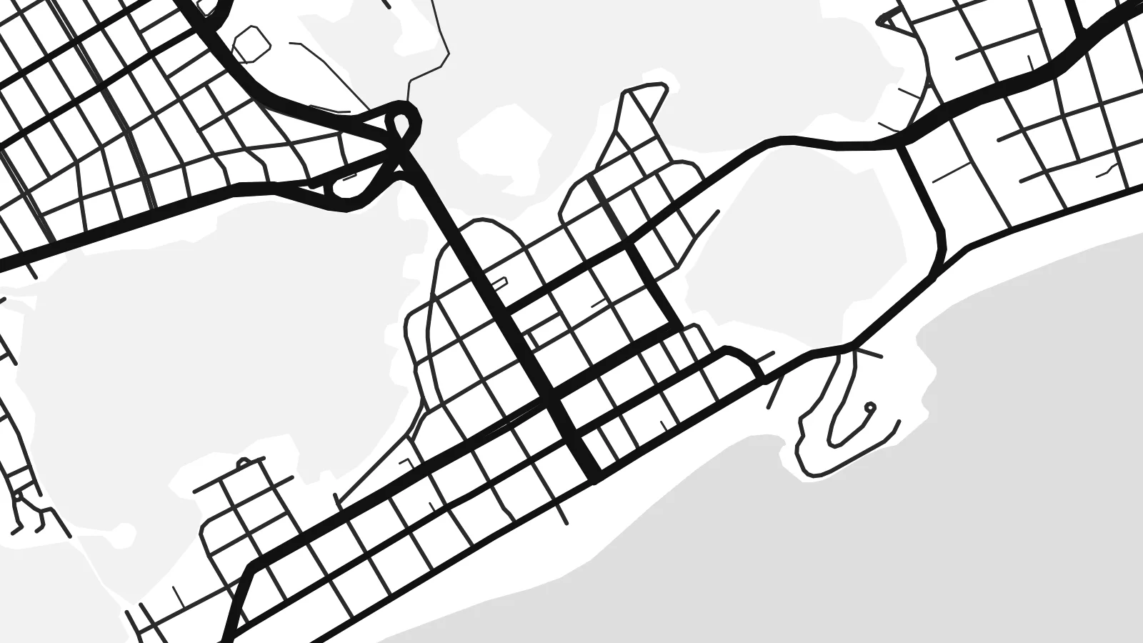 پیکسل واقعی · فایل چاپی ۲۴ × ۳۶ اینچ
وضوح چاپی
این یک برش ۱۰۰٪ از فایل چاپی واقعی است. هر پوستر — چاپی، قابشده یا دانلودی — روی سرورهای ما با کیفیت 300 DPI و تا 7,200 × 10,800 پیکسل رندر میشود، به همین دلیل حتی ریزترین خیابانها هم روی چاپ ۲۴ × ۳۶ اینچ واضح میمانند.
روی دیوار


نقشه
Guarujá occupies Santo Amaro island on the coast of São Paulo state, across a narrow channel from the port city of Santos. From above the island is a mosaic of forested hills, rocky points and sandy bays, with the town concentrated on the flatter ground behind the beaches and along the channel side facing Santos.
The coastline is what defines the map. Beaches such as Pitangueiras, Enseada and Pernambuco curve between headlands, each forming a clean arc against the Atlantic, and apartment blocks line the seafront in dense strips. The nickname Pearl of the Atlantic reflects the town's long history as a weekend and summer retreat for people from São Paulo.
On the western side of the island, a ferry crossing links Guarujá with Santos, while mangroves and quiet channels mark the northern shore. A Guarujá map poster brings together those contrasting edges: the harbour channel, the wetlands and the chain of ocean beaches, all wrapped around the steep, forested hills at the island's centre.
A sequence of wide sandy bays runs along the ocean shore, each separated by a rocky headland, giving the coastline a scalloped outline.
The narrow waterway on the western side separates Guarujá from Santos, lined with port terminals and crossed by ferries rather than bridges.
Forested high ground rises between the beaches and the channel, leaving much of the island's interior free of streets and framing the town around it.
شخصیسازی کنید
یک تاریخ، یک نام یا جملهای از خودتان اضافه کنید و سبک، اندازه یا جهت را تغییر دهید.
پیشنمایش رایگان کیفیت پایین و دارای واترمارک است. نسخههای چاپی و فایلهای HD با کیفیت 300 DPI، تا 7,200 × 10,800 پیکسل و بدون واترمارک رندر میشوند.
چرا Guarujá
For many families in São Paulo, Guarujá is the beach of childhood holidays and long weekends. A map of the island captures that coastline in a way a photograph cannot, with every bay and headland visible at once.
Personalise the title with a beach name or a family surname, add a subtitle and a date, and adjust the coordinates line. Choose Sand or Paper for a coastal feel, and download the $9 HD files or order a printed matte poster.
سفارش پوستر Guarujá| اندازه چاپ | وضوح | فایلها |
|---|---|---|
| 30 × 40 cm (11.8 × 15.7″) | 3,543 × 4,724 px | PNG · PDF |
| 29.7 × 42 cm (A3, 11.7 × 16.5″) | 3,508 × 4,961 px | PNG · PDF |
| 42 × 59.4 cm (A2, 16.5 × 23.4″) | 4,961 × 7,016 px | PNG · PDF |
| 45.7 × 61 cm (18 × 24″) | 5,400 × 7,200 px | PNG · PDF |
| 50 × 70 cm (19.7 × 27.6″) | 5,906 × 8,268 px | PNG · PDF |
| 61 × 91.4 cm (24 × 36″) | 7,200 × 10,800 px | PNG · PDF |
برای مقایسه، پیشنمایش رایگان ۹۰۰ پیکسل عرض دارد، واترمارکدار است و برای نمایش روی صفحه در نظر گرفته شده. فایلهای HD در هر جهت تا ۸ برابر وضوح بیشتری دارند و در اندازه کامل پوستر بهخوبی چاپ میشوند.
یک سبک را از بالای صفحه انتخاب کنید، سپس پوستر چاپی — یک اندازه و در صورت تمایل یک قاب — یا فایلهای دیجیتال HD را انتخاب کنید. پرداخت فقط یک مرحله دارد و صفحه سفارش شما به محض تکمیل پرداخت بهروزرسانی میشود.
روی کاغذ مات پرمیوم ۲۰۰ گرمی و در یکی از شش اندازه، از ۳۰ × ۴۰ سانتیمتر تا ۲۴ × ۳۶ اینچ، چاپ میشود. قیمت پوسترهای چاپی از $39 شروع میشود و هزینه ارسال هم شامل آن است.
بله. یک قاب چوب طبیعی به رنگ مشکی، سفید، بلوط طبیعی یا چوب تیره انتخاب کنید. این قاب با شیشه ضدشکست عرضه میشود و آماده نصب است. قیمت پوسترهای قابشده از $99 شروع میشود و هزینه ارسال هم شامل آن است.
ارسال در سراسر جهان رایگان است. هر پوستر توسط نزدیکترین شریک چاپ ما، از میان شرکای ما در بیش از ۳۰ کشور، چاپ میشود و معمولاً ظرف ۳ تا ۷ روز کاری میرسد. وضعیت سفارش و کد رهگیری را میتوانید در «سفارشهای من» ببینید. ارسال به چند کشور ۲ تا ۵ هفته طول میکشد و اگر هنوز به کشوری ارسال نداشته باشیم، سایت پیش از پرداخت به شما اطلاع میدهد.
ظرف ۱۴ روز از تحویل، یک عکس برای ما بفرستید تا آن را بهصورت رایگان دوباره چاپ کنیم یا هزینهتان را بازگردانیم.
بله. در ویرایشگر همین صفحه، عنوان، زیرعنوان و خط مختصات را به دلخواه تغییر دهید و یک سبک و اندازه انتخاب کنید. سفارشهای چاپی، قابشده و دیجیتال همگی دقیقاً از طرح شما استفاده میکنند.
با $9 فایلهای PNG با کیفیت 300 DPI و فایلهای PDF آماده چاپ را در هر شش اندازه، بدون واترمارک، دریافت میکنید تا هر جا خواستید چاپ کنید. هنوز مطمئن نیستید؟ ابتدا یک پیشنمایش رایگان با واترمارک دانلود کنید.
